Dishpan Springs
Total Miles
4.7
Technical Rating
Best Time
Summer, Fall
Trail Type
High-Clearance 4x4 Trail
Accessible By
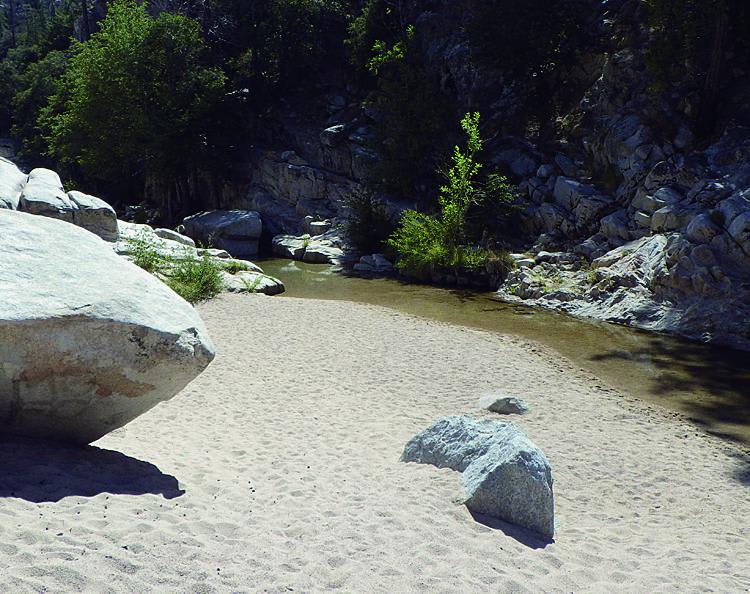
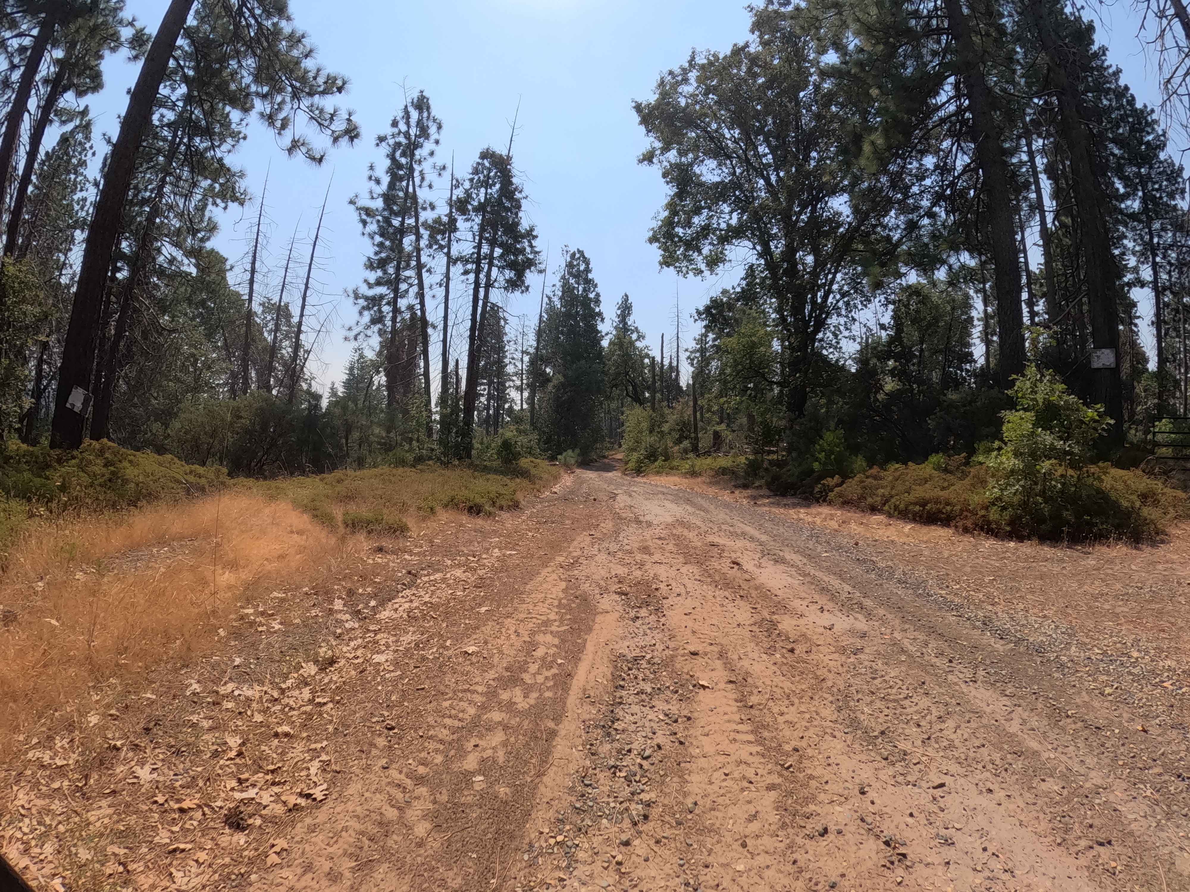
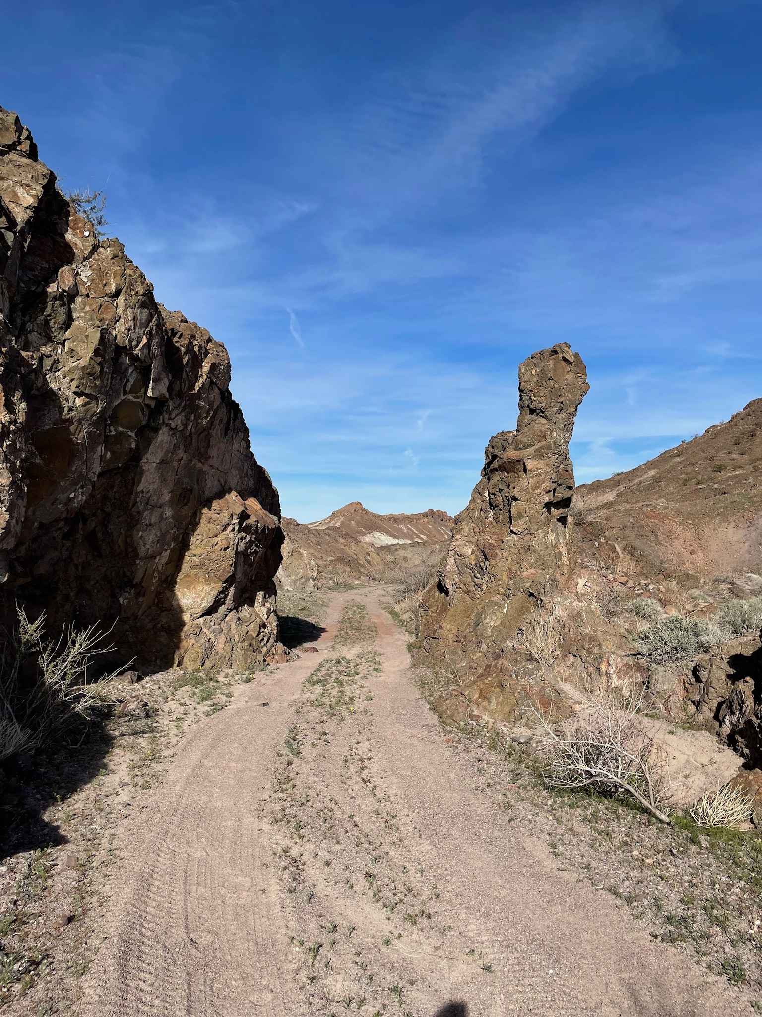
Trail Overview
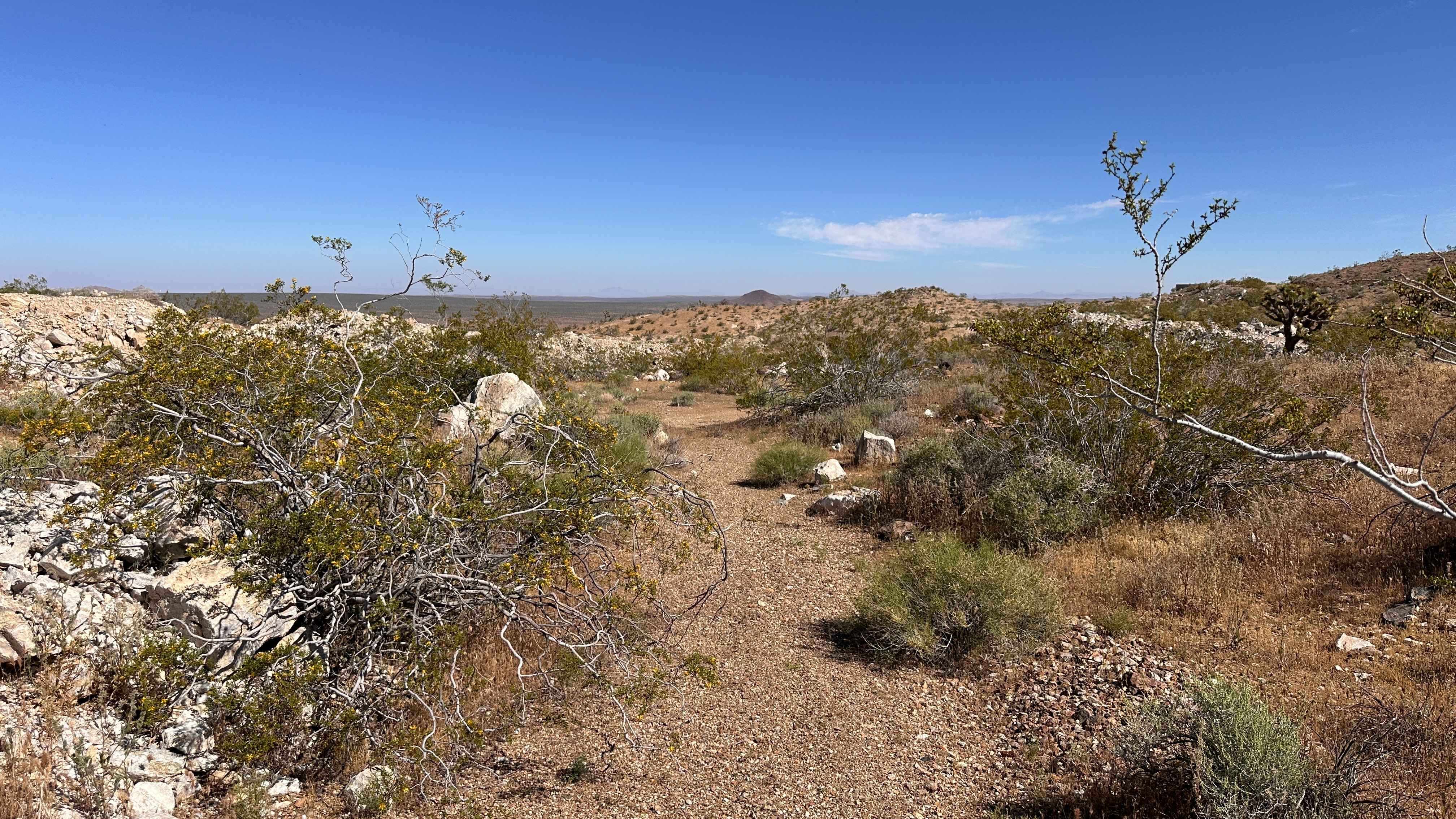
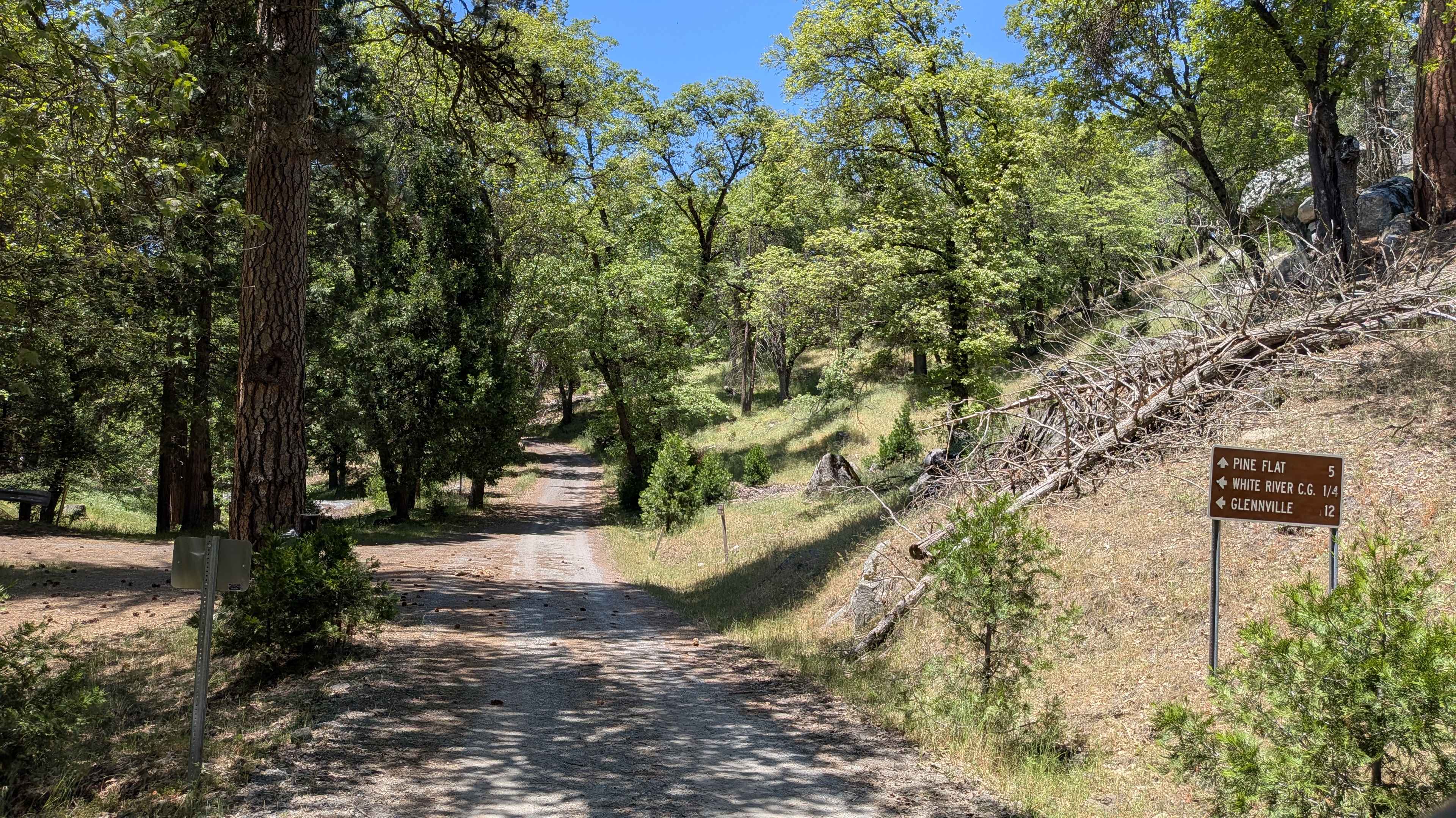
Photos of Dishpan Springs
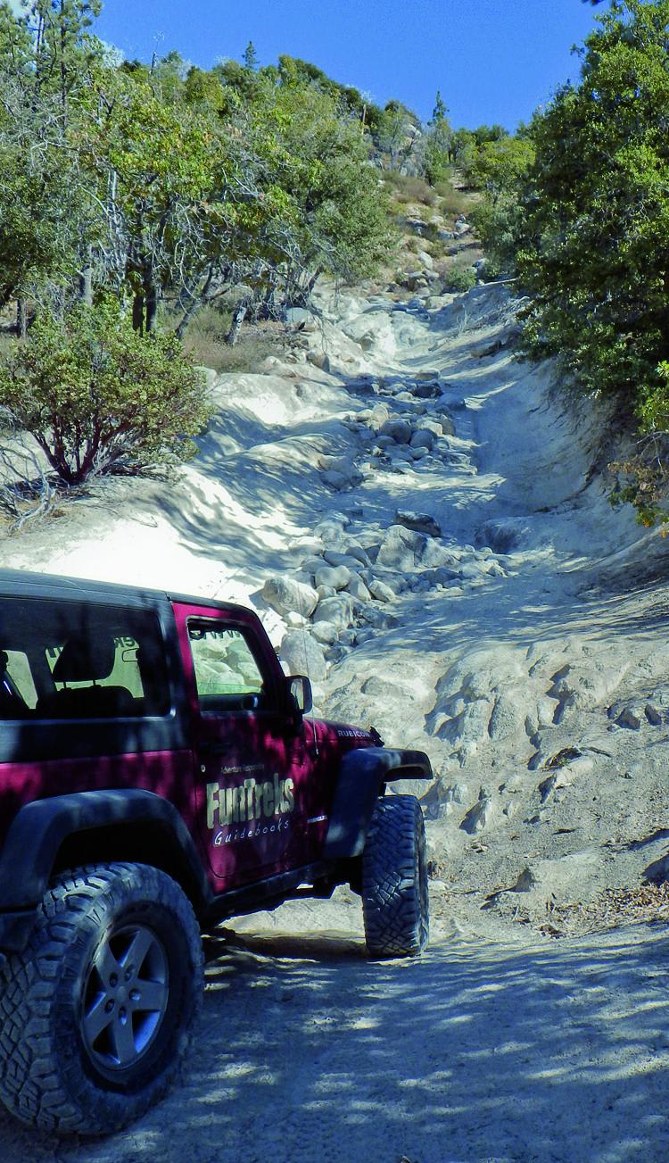
Difficulty
Difficult: Steep rocky climbs with large boulders. Rocks are often covered with fine sand making for poor traction. Hard-core modified vehicles only. Somewhat easier if driven downhill in reverse direction.
History
We've heard two stories as to why some call this trail Dishpan Springs. One is that it is simply named after a natural spring along the trail. Two is that, before the bridge was built over Deep Creek, the crossing was so deep that gear, including dishpans, floated out of open vehicles. We'll let you decide if either is true.
Status Reports
Dishpan Springs can be accessed by the following ride types:
- High-Clearance 4x4
- SxS (60")
- ATV (50")
- Dirt Bike
Dishpan Springs Map
Popular Trails
Pilot Peak - Lower - FS 5S012
Baxter Wash Trail
Mule Canyon
Jack Ranch - FS 24S05
The onX Offroad Difference
onX Offroad combines trail photos, descriptions, difficulty ratings, width restrictions, seasonality, and more in a user-friendly interface. Available on all devices, with offline access and full compatibility with CarPlay and Android Auto. Discover what you’re missing today!