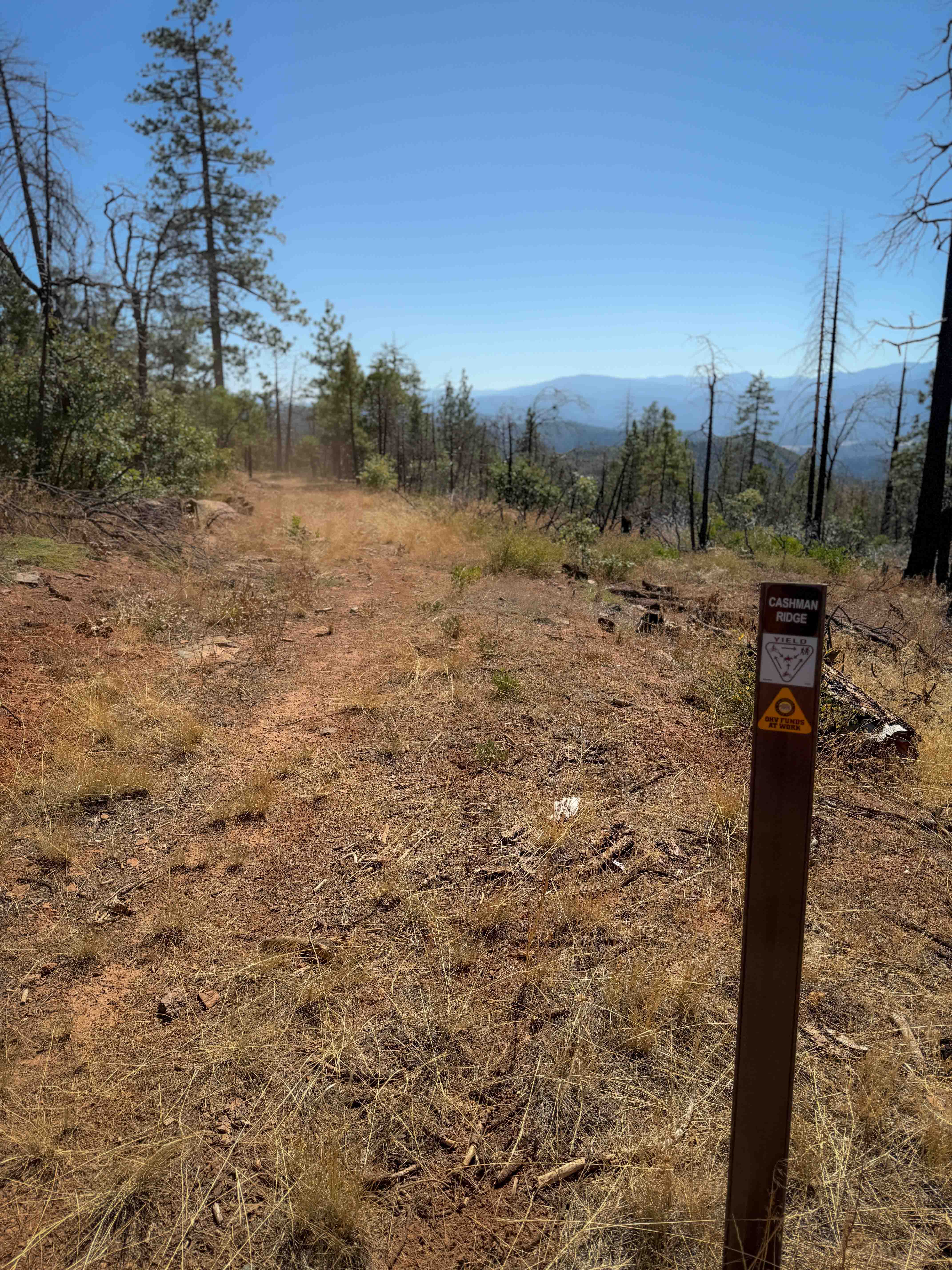
Cashman Ridge
Total Miles
0.8
Technical Rating
Best Time
Spring, Fall
Trail Type
50" Trail
Accessible By
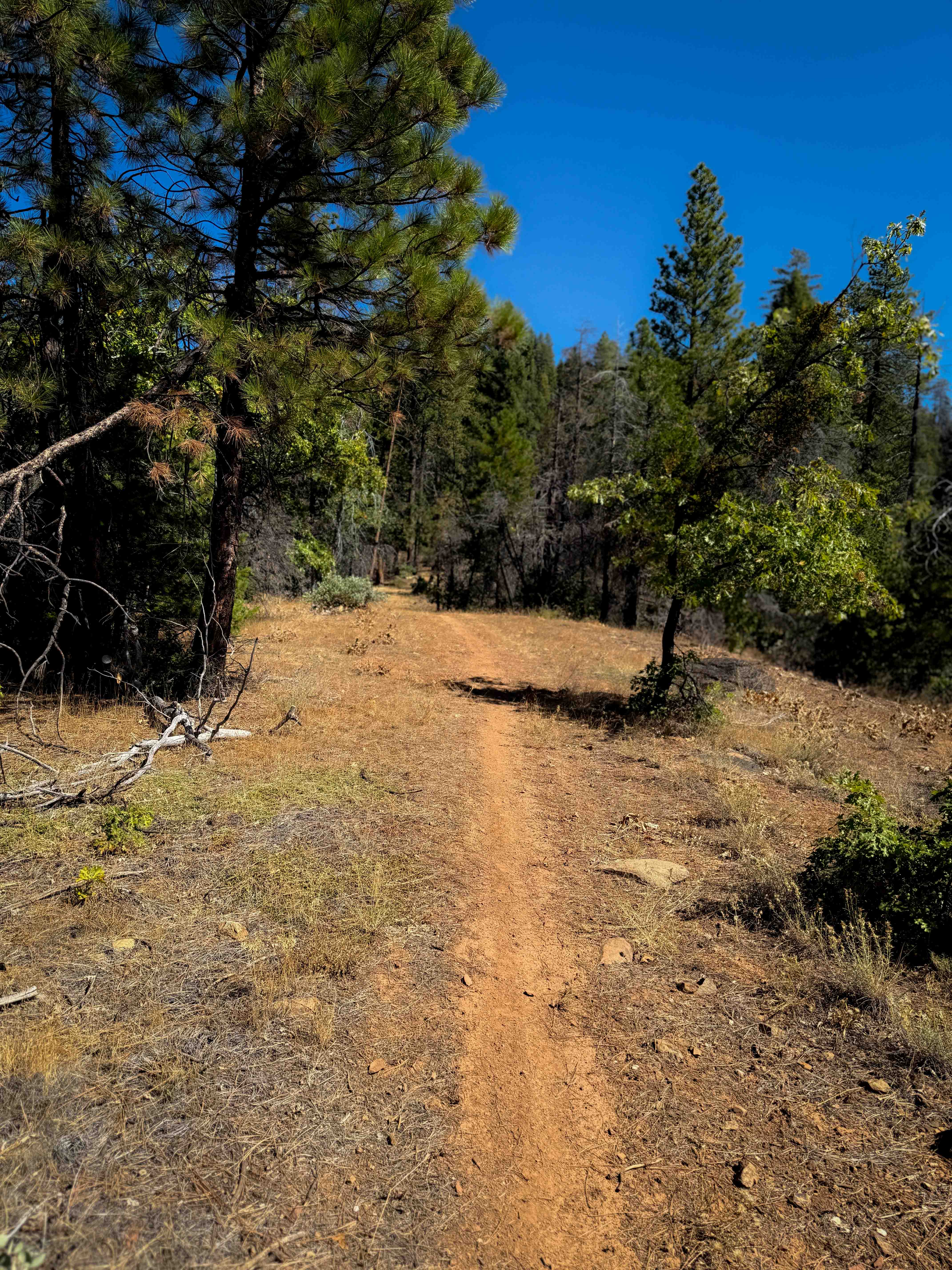
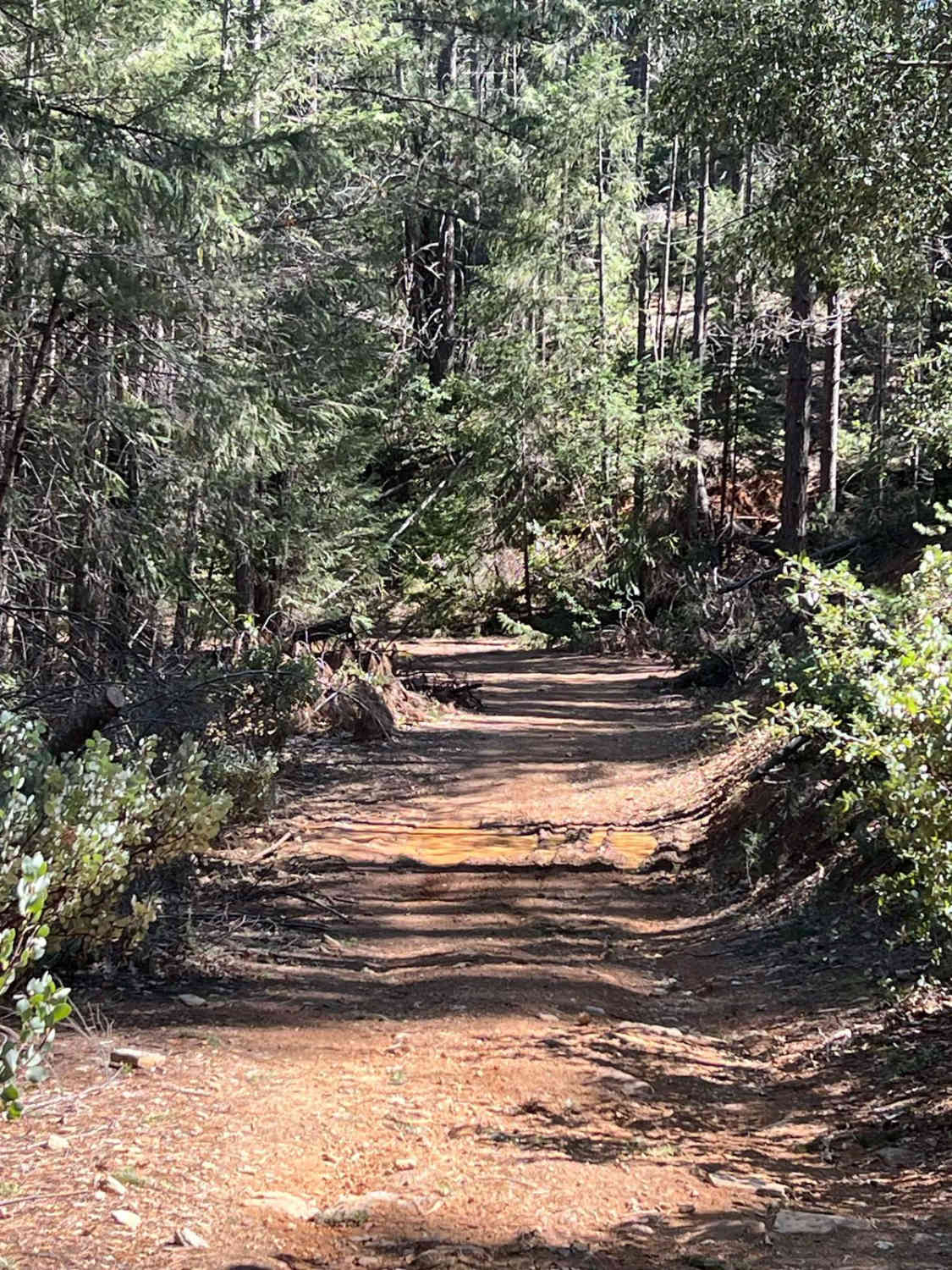
Trail Overview
This is one of only a few ATV trails in the Mount Hough Trail System. It's primitive and overgrown, mostly following the path of an old forest road. It climbs up a hillside next to a ravine, with grass in the trail, and big waterbars. It goes through a very dry and sparse pine forest, and will have potential for downed logs, even though the trail was currently clear. Halfway through, it intersects with the singletrack Acorn Connector and turns right, doubling back on itself and heading northeast. There aren't many tracks, but the trail corridor is still easy enough to follow as it winds through the trees. It gets a bit narrower and shelfy on the north end, with a couple big hairpin turns, before ending on the 10M61 forest road. It gains almost 400 feet of elevation over .8 miles, on mostly a gradual grade.
Photos of Cashman Ridge
Difficulty
This is an easy ATV trail as the majority of it is wide and gradual. It is a bit narrower and shelfier on the north end, with a couple of big switchbacks. It should be manageable for riders with less experience.
Status Reports
Cashman Ridge can be accessed by the following ride types:
- ATV (50")
- Dirt Bike
Cashman Ridge Map
Popular Trails
Gargoyle Canyon

Sand Rail Wash

El Camino Estate Road - FS 32150
The onX Offroad Difference
onX Offroad combines trail photos, descriptions, difficulty ratings, width restrictions, seasonality, and more in a user-friendly interface. Available on all devices, with offline access and full compatibility with CarPlay and Android Auto. Discover what you’re missing today!