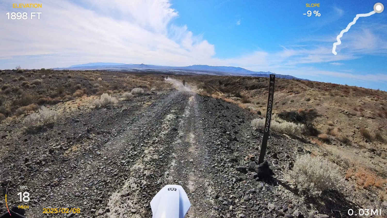
Chappo Spring (BLM AR2350)
Total Miles
6.1
Technical Rating
Best Time
Winter
Trail Type
Full-Width Road
Accessible By
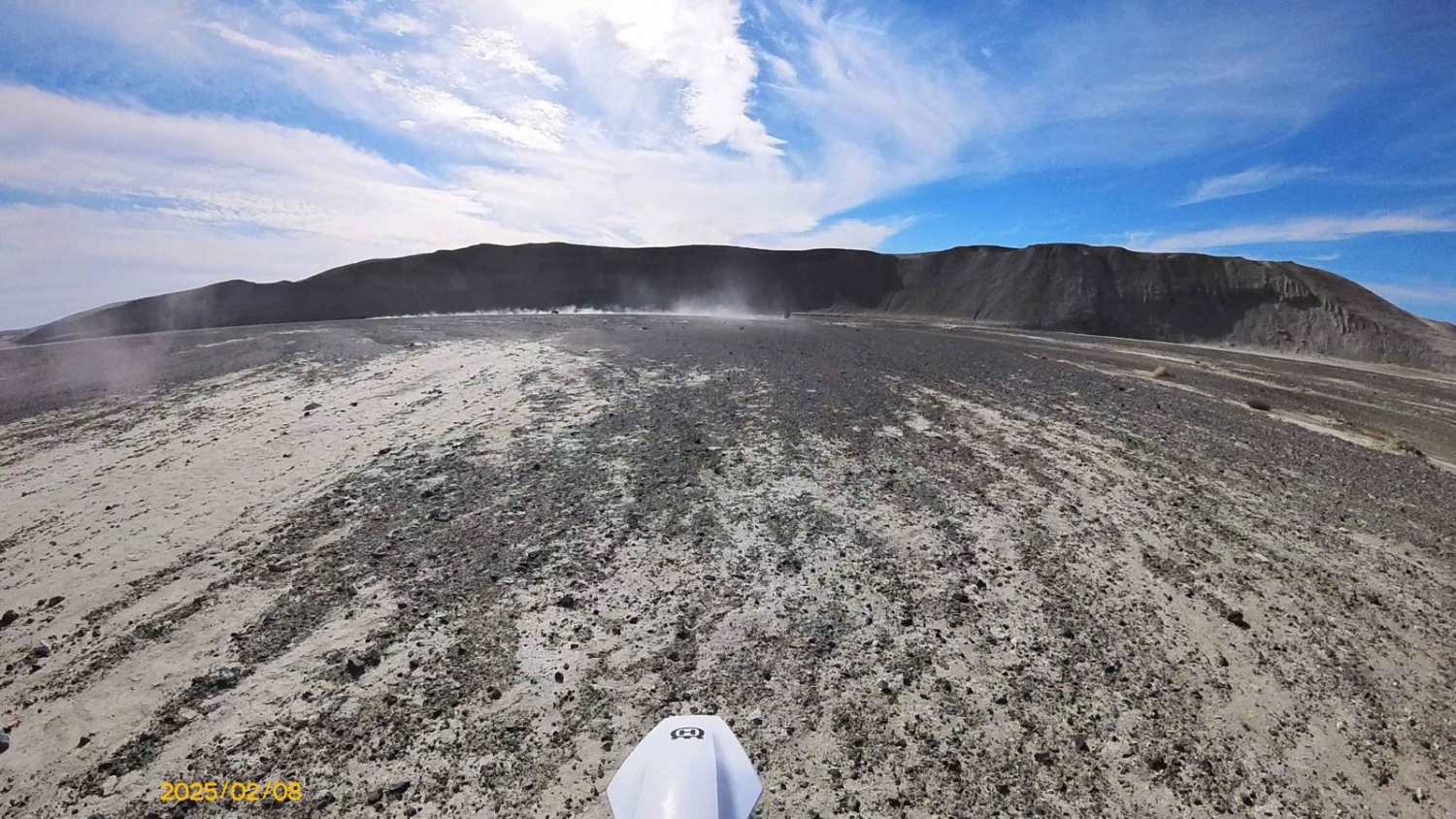
Trail Overview
This trail connects Chappo Spring, California, to California Highway 127 near Tecopa Hot Springs. It covers some unique terrain, including gravel washes and loamy soils. Since this route follows desert washes, the trail can be hard to follow at times. It is clearly marked with BLM signs about every quarter mile. The washes can change after storms, so watch for sudden drops caused by erosion. This is one of 2 trails to Chappo Spring, the other is BLM AR2334. This is the easier trail of the two. Chappo Spring has some old cabins and an active spring with some swampy areas and palm trees. This area gets very hot in the summer.
Photos of Chappo Spring (BLM AR2350)
Difficulty
Loamy washes can be a challenge on motorcycles. Erosion can cause sudden drops.
Chappo Spring (BLM AR2350) can be accessed by the following ride types:
- High-Clearance 4x4
- SUV
- SxS (60")
- ATV (50")
- Dirt Bike
Chappo Spring (BLM AR2350) Map
Popular Trails

Hot Creek Hatchery Road

Bawdy - FS 9s040
Golden Gate - FS 32399
Pile Up Trail
The onX Offroad Difference
onX Offroad combines trail photos, descriptions, difficulty ratings, width restrictions, seasonality, and more in a user-friendly interface. Available on all devices, with offline access and full compatibility with CarPlay and Android Auto. Discover what you’re missing today!