Chappo Spring (BLM AR233)
Total Miles
4.4
Technical Rating
Best Time
Winter
Trail Type
Full-Width Road
Accessible By
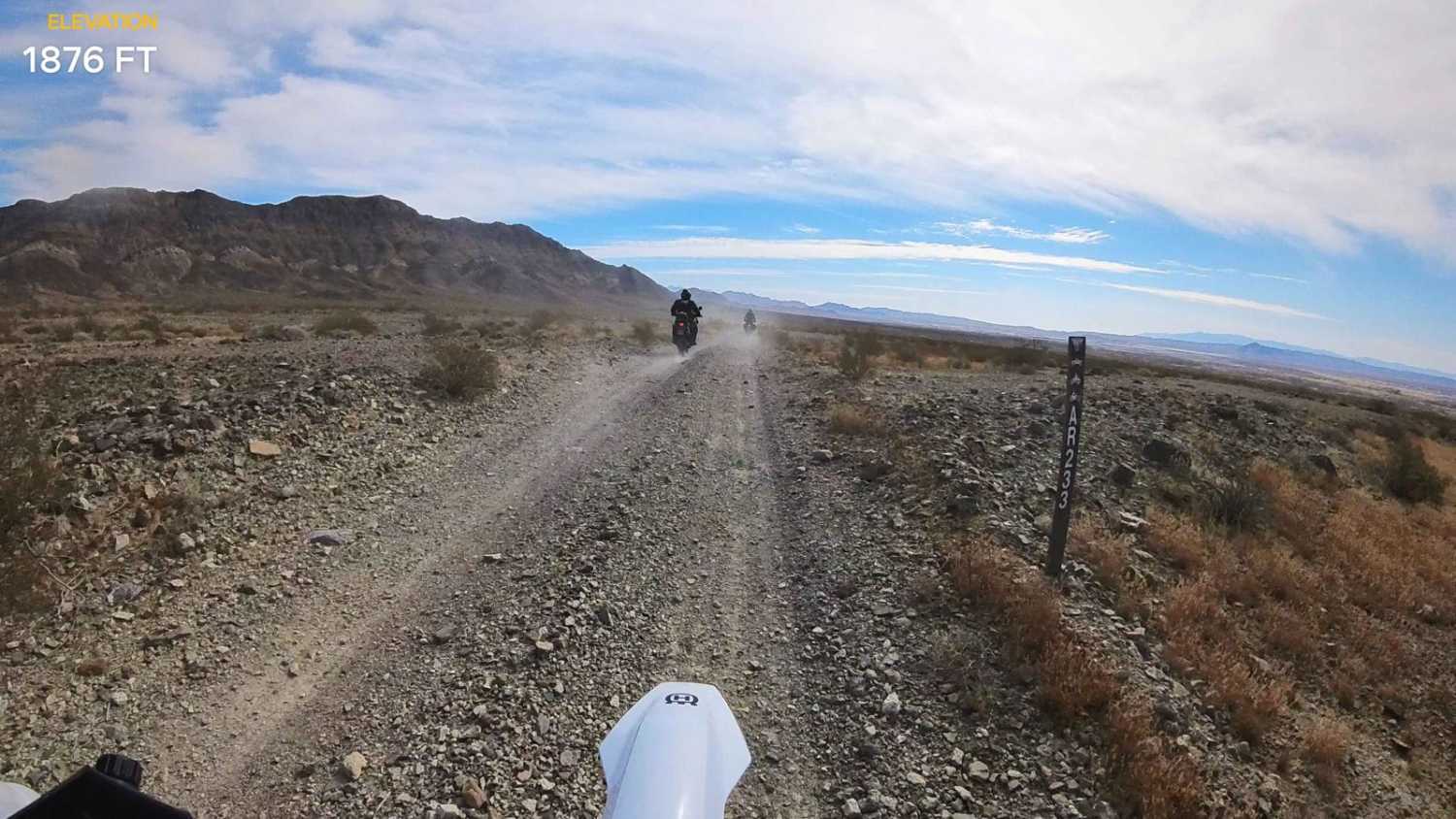
Trail Overview
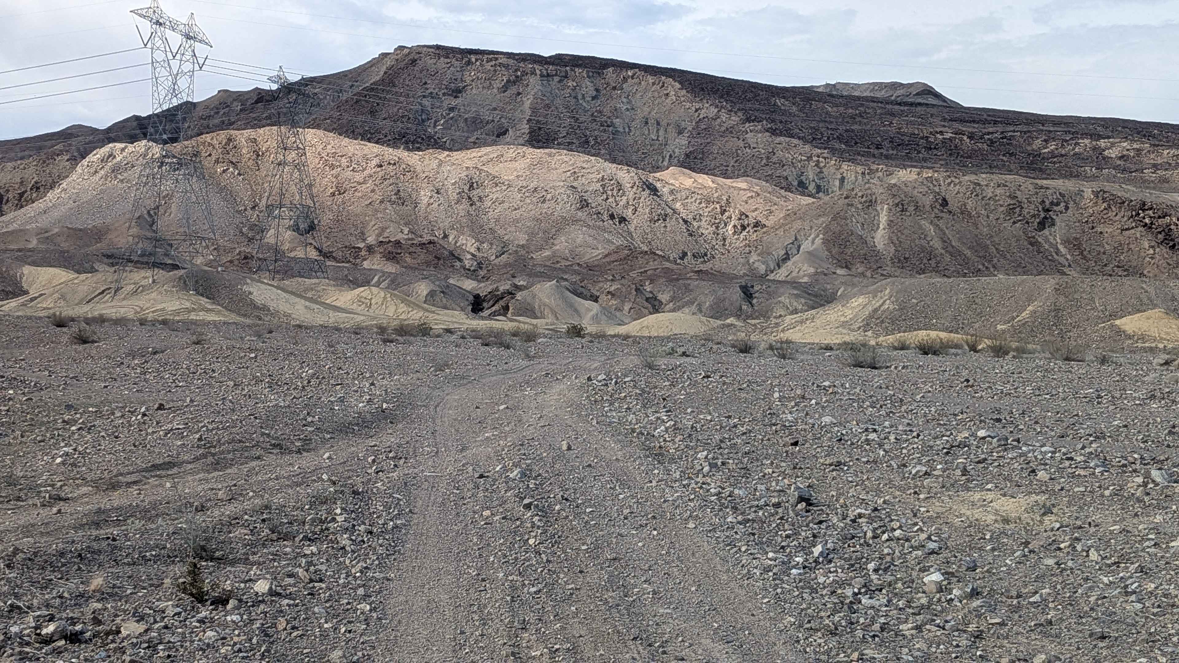
This route starts at Highway 178 and travels South along the West edge of the Nopah Range Wilderness to Chappo Spring. This 2-track trail is mostly hard-packed with gravel and a few washes. Use caution when approaching the washes as they can change over time from erosion caused by monsoon rains. The trail is mostly straight but has several short segments routing through deeper washes with sharp turns. It ends at Chappo Spring, which is an active spring and a small swamp with palm trees. There are some buildings and other artifacts in the area. The trail is clearly marked with BLM signs. This is a very hot desert environment, so make sure you bring plenty of water. It is best traveled in the winter. If you go in warmer seasons, go very early in the morning to avoid the intense heat.
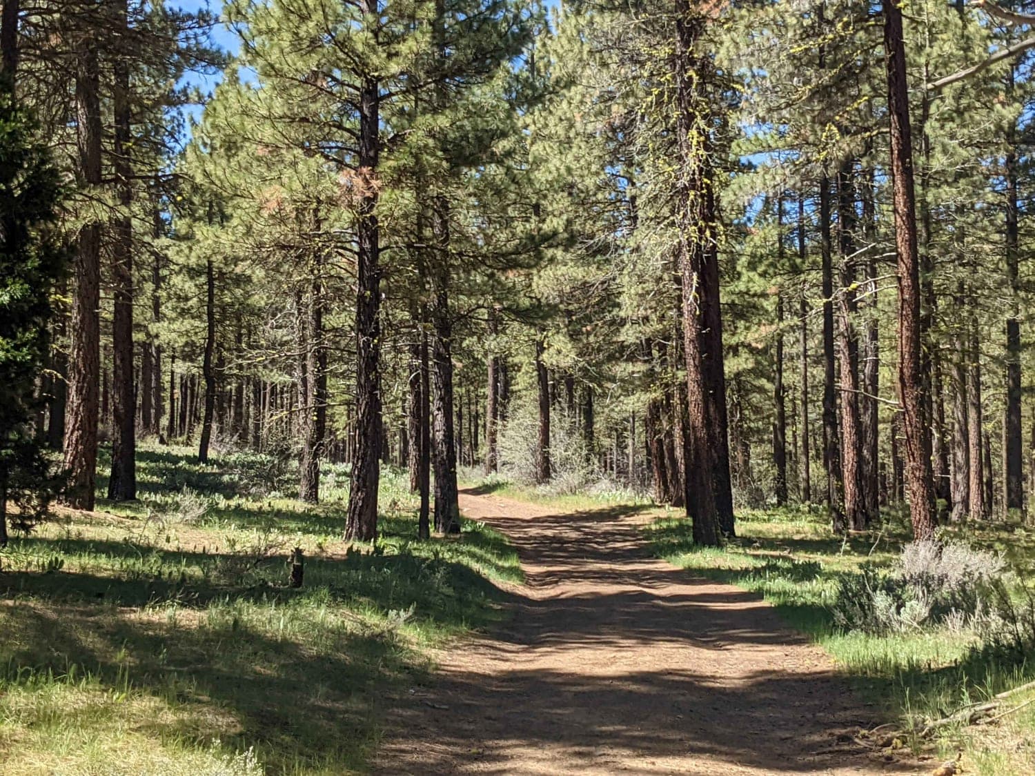
Photos of Chappo Spring (BLM AR233)

Difficulty
Washes can change and have drops. Loamy gravel and deep ruts from Monsoon rains.
Status Reports
Chappo Spring (BLM AR233) can be accessed by the following ride types:
- High-Clearance 4x4
- SUV
- SxS (60")
- ATV (50")
- Dirt Bike
Chappo Spring (BLM AR233) Map
Popular Trails
Beckwourth Tie Spur - NF23N03YB
American Hill Mine
Packsaddle - FS 23S26
The onX Offroad Difference
onX Offroad combines trail photos, descriptions, difficulty ratings, width restrictions, seasonality, and more in a user-friendly interface. Available on all devices, with offline access and full compatibility with CarPlay and Android Auto. Discover what you’re missing today!