Off-Road Trails in Baja California
Discover off-road trails in Baja California
Learn more about Salt Flat Loop 1000 Course 
Salt Flat Loop 1000 Course
Total Miles
6.5
Tech Rating
Moderate
Best Time
Spring, Summer, Fall, Winter
Learn more about Salt Flats Loop
Salt Flats Loop
Total Miles
20.8
Tech Rating
Easy
Best Time
Spring, Fall, Winter
Learn more about Salt Flats Pabellon
Salt Flats Pabellon
Total Miles
5.4
Tech Rating
Easy
Best Time
Spring, Summer, Fall, Winter
Learn more about Salt Flats Trail
Salt Flats Trail
Total Miles
44.8
Tech Rating
Easy
Best Time
Spring, Fall, Winter
Learn more about Salt Lakes Loop
Salt Lakes Loop
Total Miles
8.8
Tech Rating
Easy
Best Time
Spring, Summer, Fall, Winter
Learn more about San Fernando East
San Fernando East
Total Miles
5.4
Tech Rating
Easy
Best Time
Spring, Summer, Fall, Winter
Learn more about San Fernando Race Route
San Fernando Race Route
Total Miles
5.9
Tech Rating
Easy
Best Time
Spring, Summer, Fall, Winter
Learn more about San Fernando West
San Fernando West
Total Miles
5.2
Tech Rating
Easy
Best Time
Spring, Summer, Fall, Winter
Learn more about San Jose El Faro to Chapala Intermittent
San Jose El Faro to Chapala Intermittent
Total Miles
12.7
Tech Rating
Easy
Best Time
Spring, Summer, Fall
Learn more about San Quintin Connection
San Quintin Connection
Total Miles
9.6
Tech Rating
Easy
Best Time
Spring, Summer, Fall, Winter
Learn more about San Sebastian
San Sebastian
Total Miles
10.5
Tech Rating
Easy
Best Time
Spring, Fall, Winter
Learn more about San Vicente to Ejido Erendira
San Vicente to Ejido Erendira
Total Miles
9.5
Tech Rating
Easy
Best Time
Spring, Summer, Fall, Winter
Learn more about Santa Gertrudis
Santa Gertrudis
Total Miles
11.0
Tech Rating
Easy
Best Time
Spring, Summer, Fall, Winter
Learn more about Santa Rosaliita Coastal
Santa Rosaliita Coastal
Total Miles
17.4
Tech Rating
Easy
Best Time
Spring, Summer, Fall, Winter
Learn more about Santo Tomas to Vicente Guerrero
Santo Tomas to Vicente Guerrero
Total Miles
84.6
Tech Rating
Moderate
Best Time
Spring, Winter
Learn more about Scenic Road to Rancho Alamar
Scenic Road to Rancho Alamar
Total Miles
5.4
Tech Rating
Easy
Best Time
Spring, Summer, Fall, Winter
Learn more about Scenic Route to Santa Catarina Indigenous Community
Scenic Route to Santa Catarina Indigenous Community
Total Miles
5.1
Tech Rating
Easy
Best Time
Spring, Summer, Fall, Winter
Learn more about Sendero Cerro El Colorado
Sendero Cerro El Colorado
Total Miles
5.1
Tech Rating
Moderate
Best Time
Summer, Winter, Spring
Learn more about Sendero de Descenso por el Acantilado
Sendero de Descenso por el Acantilado
Total Miles
3.5
Tech Rating
Moderate
Best Time
Winter, Summer, Spring
Learn more about Sierra de Kila Wash
Sierra de Kila Wash
Total Miles
4.5
Tech Rating
Easy
Best Time
Summer, Spring, Winter
ATV trails in Baja California
Learn more about Bahia San Quintin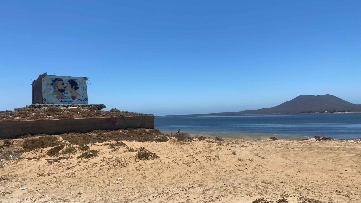
Bahia San Quintin
Total Miles
10.3
Tech Rating
Easy
Best Time
Spring, Summer, Winter
Learn more about Mision Santa Maria Dunes
Mision Santa Maria Dunes
Total Miles
6.5
Tech Rating
Moderate
Best Time
Spring, Summer, Fall, Winter
Learn more about 12 North Loop
12 North Loop
Total Miles
6.1
Tech Rating
Moderate
Best Time
Spring, Summer, Fall, Winter
Learn more about 12 South Loop
12 South Loop
Total Miles
10.0
Tech Rating
Easy
Best Time
Spring, Fall, Winter
UTV/side-by-side trails in Baja California
Learn more about Bahia San Quintin
Bahia San Quintin
Total Miles
10.3
Tech Rating
Easy
Best Time
Spring, Summer, Winter
Learn more about 12 North Loop
12 North Loop
Total Miles
6.1
Tech Rating
Moderate
Best Time
Spring, Summer, Fall, Winter
Learn more about 12 South Loop
12 South Loop
Total Miles
10.0
Tech Rating
Easy
Best Time
Spring, Fall, Winter
Learn more about Arbolitos Cove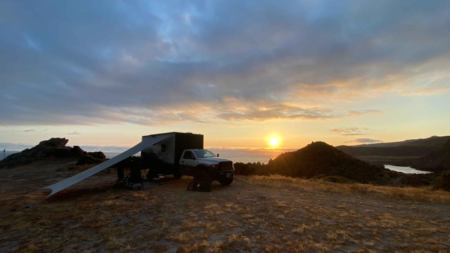
Arbolitos Cove
Total Miles
3.0
Tech Rating
Easy
Best Time
Spring, Summer, Fall, Winter
The onX Offroad Difference
onX Offroad combines trail photos, descriptions, difficulty ratings, width restrictions, seasonality, and more in a user-friendly interface. Available on all devices, with offline access and full compatibility with CarPlay and Android Auto. Discover what you’re missing today!