Off-Road Trails in Baja California
Discover off-road trails in Baja California
Learn more about El Machorro Descent
El Machorro Descent
Total Miles
1.7
Tech Rating
Easy
Best Time
Winter, Summer, Spring
Learn more about El Marmol
El Marmol
Total Miles
9.5
Tech Rating
Easy
Best Time
Summer, Fall, Winter, Spring
Learn more about El Marmol Atras
El Marmol Atras
Total Miles
14.1
Tech Rating
Moderate
Best Time
Spring, Summer, Fall, Winter
Learn more about El Marmolito
El Marmolito
Total Miles
28.1
Tech Rating
Moderate
Best Time
Spring, Fall, Winter
Learn more about El Pabellon Loop
El Pabellon Loop
Total Miles
33.7
Tech Rating
Moderate
Best Time
Winter, Spring
Learn more about El Rosario Badlands 
El Rosario Badlands
Total Miles
5.2
Tech Rating
Moderate
Best Time
Spring, Fall, Winter
Learn more about El Rosario Connection
El Rosario Connection
Total Miles
15.6
Tech Rating
Easy
Best Time
Spring, Summer, Fall, Winter
Learn more about El Rosario to Punta San Antonio
El Rosario to Punta San Antonio
Total Miles
25.4
Tech Rating
Easy
Best Time
Spring, Summer, Fall, Winter
Learn more about El Sacrificio
El Sacrificio
Total Miles
8.2
Tech Rating
Easy
Best Time
Spring, Fall, Winter, Summer
Learn more about Enchanted Valley to Mina Marmolito
Enchanted Valley to Mina Marmolito
Total Miles
10.9
Tech Rating
Easy
Best Time
Spring, Summer, Winter
Learn more about Erendira Highway to Coastal Route South
Erendira Highway to Coastal Route South
Total Miles
10.2
Tech Rating
Easy
Best Time
Spring, Summer, Fall, Winter
Learn more about Ex-Hacienda Sinaloa
Ex-Hacienda Sinaloa
Total Miles
8.4
Tech Rating
Easy
Best Time
Spring, Summer, Fall, Winter
Learn more about Ex-Hacienda Sinaloa Moto
Ex-Hacienda Sinaloa Moto
Total Miles
7.2
Tech Rating
Easy
Best Time
Spring, Summer, Fall, Winter
Learn more about Exploring Northwest of Heroes de la Independencia
Exploring Northwest of Heroes de la Independencia
Total Miles
4.6
Tech Rating
Easy
Best Time
Spring, Fall, Winter, Summer
Learn more about Four Corners East
Four Corners East
Total Miles
7.8
Tech Rating
Easy
Best Time
Spring, Summer, Fall, Winter
Learn more about Four Corners West
Four Corners West
Total Miles
6.8
Tech Rating
Easy
Best Time
Summer, Fall, Winter, Spring
Learn more about Francisco Villa Loop
Francisco Villa Loop
Total Miles
6.7
Tech Rating
Easy
Best Time
Spring, Summer, Fall, Winter
Learn more about Fresas and Volcanoes
Fresas and Volcanoes
Total Miles
5.7
Tech Rating
Easy
Best Time
Spring, Summer, Fall, Winter
Learn more about Hereos to Santa Catarina Trails
Hereos to Santa Catarina Trails
Total Miles
5.2
Tech Rating
Easy
Best Time
Spring, Fall, Winter, Summer
Learn more about Highway One to the Coastal Route
Highway One to the Coastal Route
Total Miles
13.2
Tech Rating
Easy
Best Time
Spring, Summer, Fall, Winter
ATV trails in Baja California
Learn more about Bahia San Quintin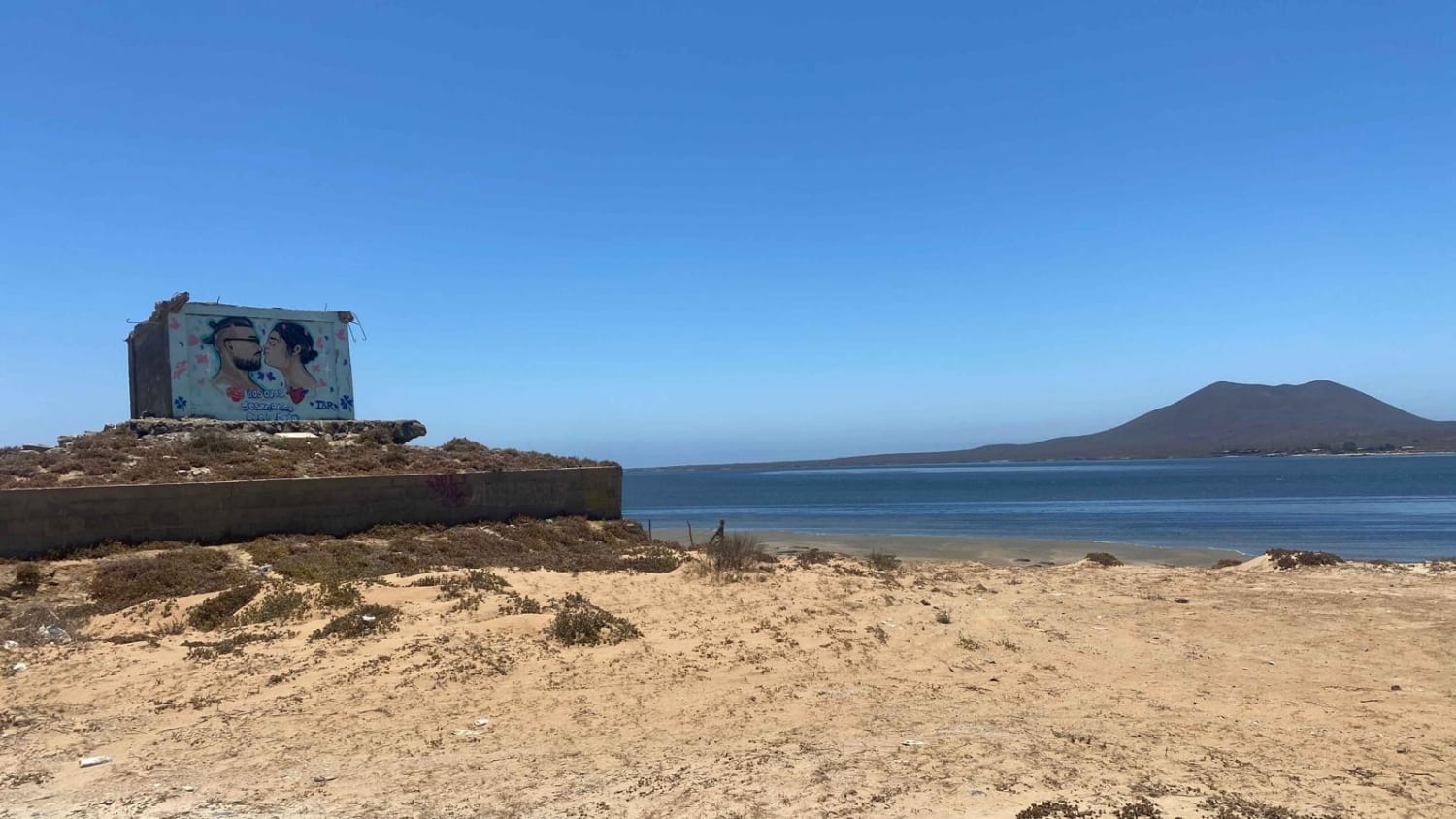
Bahia San Quintin
Total Miles
10.3
Tech Rating
Easy
Best Time
Spring, Summer, Winter
Learn more about Mision Santa Maria Dunes
Mision Santa Maria Dunes
Total Miles
6.5
Tech Rating
Moderate
Best Time
Spring, Summer, Fall, Winter
Learn more about 12 North Loop
12 North Loop
Total Miles
6.1
Tech Rating
Moderate
Best Time
Spring, Summer, Fall, Winter
Learn more about 12 South Loop
12 South Loop
Total Miles
10.0
Tech Rating
Easy
Best Time
Spring, Fall, Winter
UTV/side-by-side trails in Baja California
Learn more about Bahia San Quintin
Bahia San Quintin
Total Miles
10.3
Tech Rating
Easy
Best Time
Spring, Summer, Winter
Learn more about 12 North Loop
12 North Loop
Total Miles
6.1
Tech Rating
Moderate
Best Time
Spring, Summer, Fall, Winter
Learn more about 12 South Loop
12 South Loop
Total Miles
10.0
Tech Rating
Easy
Best Time
Spring, Fall, Winter
Learn more about Arbolitos Cove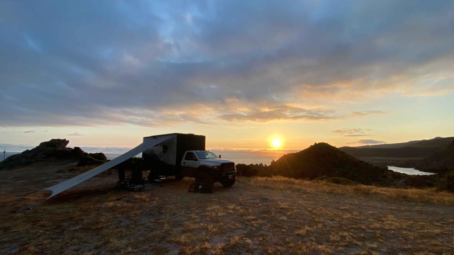
Arbolitos Cove
Total Miles
3.0
Tech Rating
Easy
Best Time
Spring, Summer, Fall, Winter
The onX Offroad Difference
onX Offroad combines trail photos, descriptions, difficulty ratings, width restrictions, seasonality, and more in a user-friendly interface. Available on all devices, with offline access and full compatibility with CarPlay and Android Auto. Discover what you’re missing today!