El Machorro Descent
Total Kilometers
2.7
Technical Rating
Best Time
Winter, Summer, Spring
Trail Type
Full-Width Road
Accessible By
Trail Overview
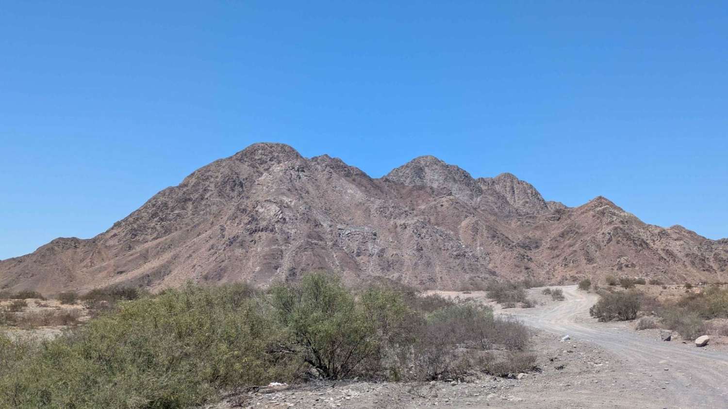
The El Machorro Descent off-road trail skirts the rugged base of Cerro El Machorro, offering adventurous drivers a diverse mix of terrain and stunning vistas. Departing from San Felipe, the first section of the trail has been recently graded, providing a smooth and easy start. As the route progresses, the second half becomes more technical, with a variety of embedded rocks and uneven surfaces--some of which may be sharp and require careful tire placement. The final segment is a challenging downhill stretch that is rough, heavily uneven, and off-camber, demanding high-clearance vehicles and confident driving skills. Throughout the journey, the trail rewards travelers with sweeping views of the Sea of Cortez and the San Felipe Bay. The route culminates at a secluded, hidden beach--an ideal spot to rest and enjoy the coastal serenity.
Photos of El Machorro Descent

Difficulty
While the beginning is accessible to most off-road vehicles, the latter sections--especially the rocky middle and the final off-camber descent--require a capable 4WD vehicle with good clearance and experienced driving. Not recommended for stock crossovers or inexperienced drivers. While most of the trail is 1 or 2, the last section is 3.
Status Reports
El Machorro Descent can be accessed by the following ride types:
- High-Clearance 4x4
- SUV
- SxS (60")
- ATV (50")
- Dirt Bike
El Machorro Descent Map
Popular Trails

La Rumorosa to Mesa Colorado

Intermittent

Bahia Soledad

San Quintin Connection
The onX Offroad Difference
onX Offroad combines trail photos, descriptions, difficulty ratings, width restrictions, seasonality, and more in a user-friendly interface. Available on all devices, with offline access and full compatibility with CarPlay and Android Auto. Discover what you’re missing today!