Erendira Highway to Coastal Route South
Total Kilometers
16.3
Technical Rating
Best Time
Spring, Summer, Fall, Winter
Trail Type
Full-Width Road
Accessible By
Trail Overview
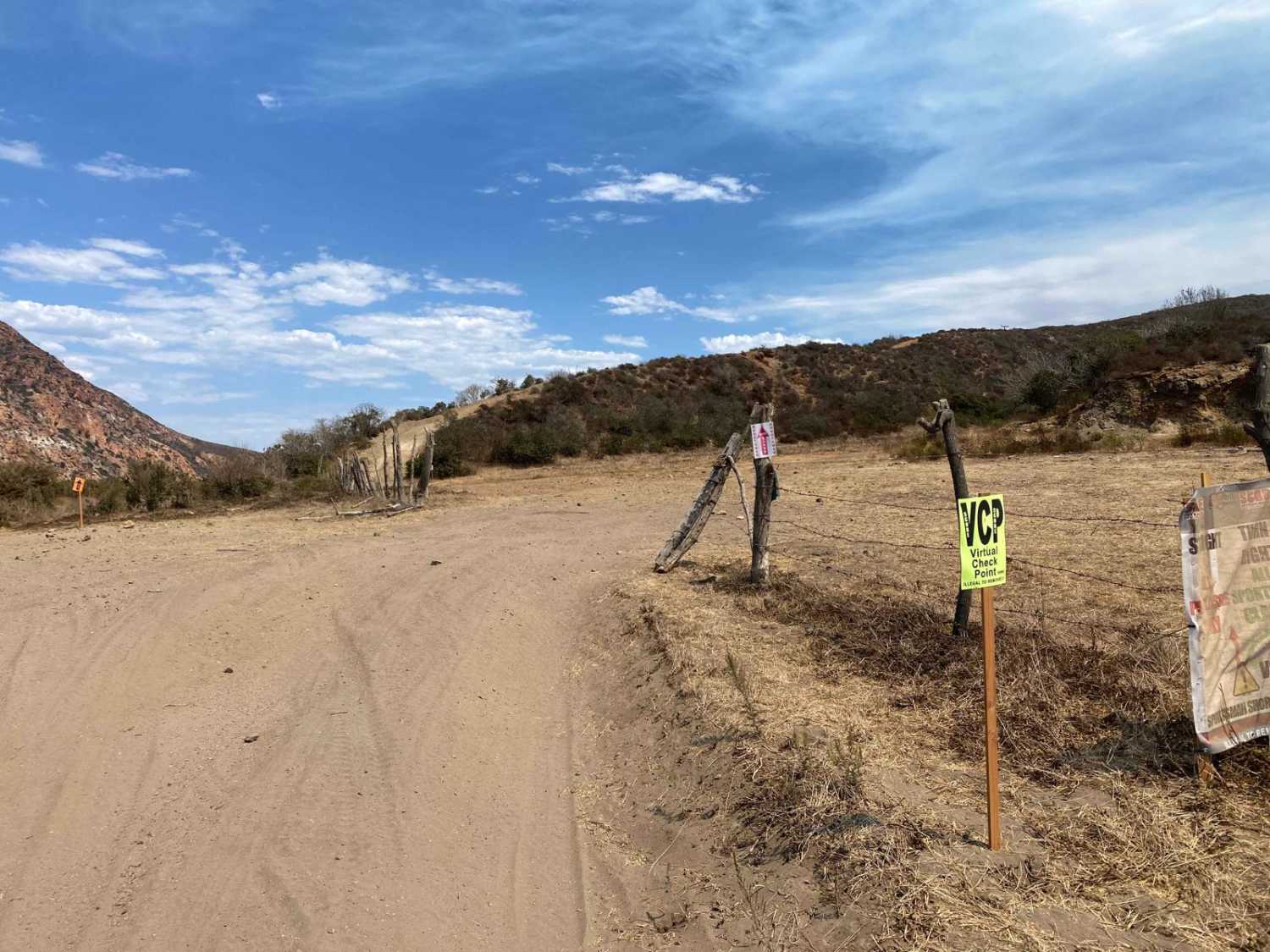
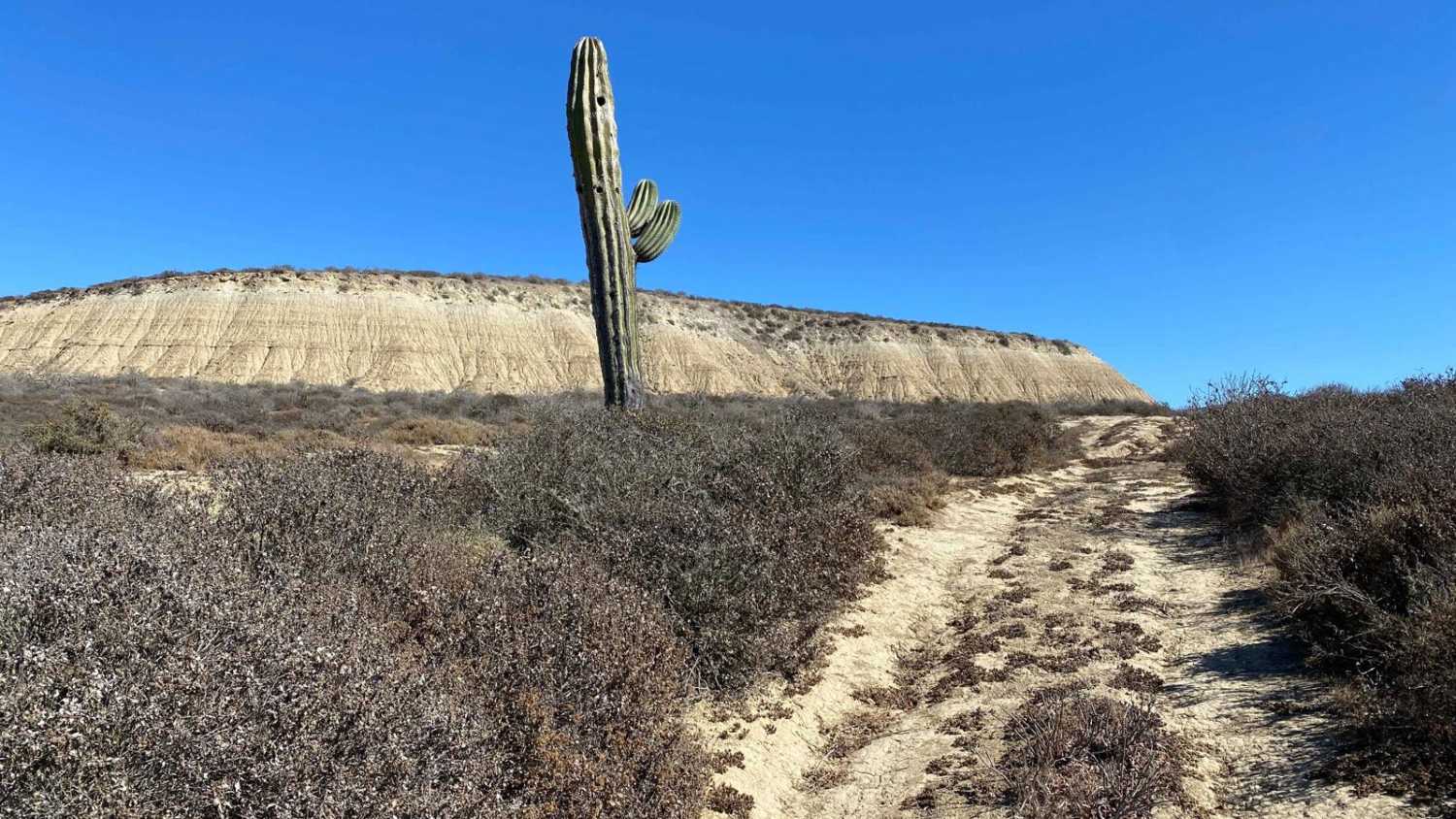
Embarking on this trail immediately sets a challenging tone, as the initial ascent is steep and rugged, bearing the scars of Baja 500 races, with sections that can be particularly rough. However, after the demanding first mile, the trail levels out, offering more relaxed stretches interspersed with canyon descents that require careful navigation through rain-worn ruts. On a clear day, breaking free from the hills reveals a stunning coastal drive, with expansive ocean views stretching for miles. Along the way, you'll encounter a few gates to open and close, but the reward comes at the trail's end--a breathtaking, panoramic view of the southern coast as you descend and join the southern route towards Punta Colonet.
Photos of Erendira Highway to Coastal Route South

Difficulty
While this route features some challenging sections, most obstacles rated above a difficulty of three have bypasses available. It's essential to air down your tires for better traction, and be prepared for potential tire issues, as sharp, loose rocks are scattered throughout several parts of the trail.
Status Reports
Erendira Highway to Coastal Route South can be accessed by the following ride types:
- High-Clearance 4x4
- SUV
- SxS (60")
- ATV (50")
- Dirt Bike
Erendira Highway to Coastal Route South Map
Popular Trails
Mesa Redondo

12 North Loop

Coastal Route La Chorera

Whoop Line 250
The onX Offroad Difference
onX Offroad combines trail photos, descriptions, difficulty ratings, width restrictions, seasonality, and more in a user-friendly interface. Available on all devices, with offline access and full compatibility with CarPlay and Android Auto. Discover what you’re missing today!