Off-Road Trails in Baja California
Discover off-road trails in Baja California
Learn more about Bahia San Quintin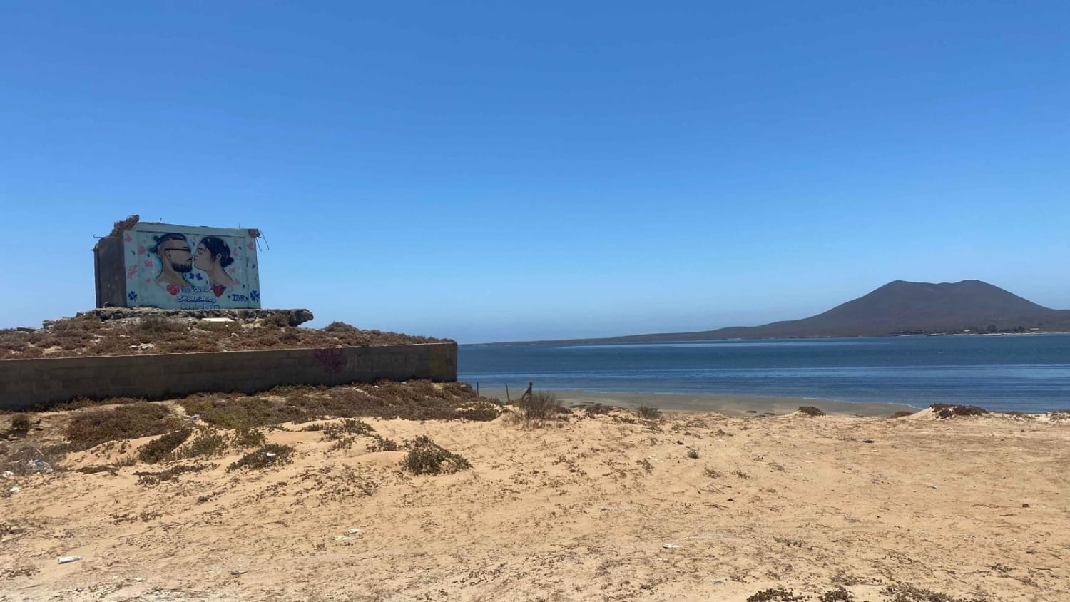
Bahia San Quintin
Total Miles
10.3
Tech Rating
Easy
Best Time
Spring, Summer, Winter
Learn more about Mision Santa Maria Dunes
Mision Santa Maria Dunes
Total Miles
6.5
Tech Rating
Moderate
Best Time
Spring, Summer, Fall, Winter
Learn more about 12 North Loop
12 North Loop
Total Miles
6.1
Tech Rating
Moderate
Best Time
Spring, Summer, Fall, Winter
Learn more about 12 South Loop
12 South Loop
Total Miles
10.0
Tech Rating
Easy
Best Time
Spring, Fall, Winter
Learn more about Alcatraz Bay - Single Track
Alcatraz Bay - Single Track
Total Miles
8.8
Tech Rating
Moderate
Best Time
Spring, Summer, Fall, Winter
Learn more about Arbolitos Cove
Arbolitos Cove
Total Miles
3.0
Tech Rating
Easy
Best Time
Spring, Summer, Fall, Winter
Learn more about Around Cerro Anegado
Around Cerro Anegado
Total Miles
9.1
Tech Rating
Easy
Best Time
Spring, Summer, Fall, Winter
Learn more about Around Cerro el Moreno
Around Cerro el Moreno
Total Miles
5.6
Tech Rating
Easy
Best Time
Spring, Winter, Fall
Learn more about Arroyo Colonet
Arroyo Colonet
Total Miles
9.0
Tech Rating
Easy
Best Time
Spring, Summer, Fall, Winter
Learn more about Arroyo El Rosario
Arroyo El Rosario
Total Miles
5.2
Tech Rating
Easy
Best Time
Spring, Summer, Fall, Winter
Learn more about Arroyo Ridge
Arroyo Ridge
Total Miles
8.2
Tech Rating
Easy
Best Time
Summer, Fall, Winter, Spring
Learn more about Backcountry Gateway Trail
Backcountry Gateway Trail
Total Miles
4.5
Tech Rating
Easy
Best Time
Summer, Spring, Winter, Fall
Learn more about Bahia de las Animas
Bahia de las Animas
Total Miles
10.9
Tech Rating
Easy
Best Time
Winter, Spring, Fall
Learn more about Bahia Soledad
Bahia Soledad
Total Miles
4.9
Tech Rating
Easy
Best Time
Spring, Summer, Fall, Winter
Learn more about Base of the Los Cuevitas Range and Back
Base of the Los Cuevitas Range and Back
Total Miles
4.8
Tech Rating
Easy
Best Time
Spring, Fall, Winter
Learn more about Beach Road to the Coastal Route
Beach Road to the Coastal Route
Total Miles
4.9
Tech Rating
Easy
Best Time
Spring, Summer, Fall, Winter
Learn more about Beach Route Fidel
Beach Route Fidel
Total Miles
5.6
Tech Rating
Easy
Best Time
Spring, Summer, Fall, Winter
Learn more about BOLA Cutoff
BOLA Cutoff
Total Miles
9.0
Tech Rating
Easy
Best Time
Summer, Spring, Fall, Winter
Learn more about Bosque de Ocotillos
Bosque de Ocotillos
Total Miles
9.3
Tech Rating
Moderate
Best Time
Winter, Summer, Spring
Learn more about Calamajue Canyon Trail
Calamajue Canyon Trail
Total Miles
28.9
Tech Rating
Easy
Best Time
Spring, Fall, Winter
ATV trails in Baja California
Learn more about Bahia San Quintin
Bahia San Quintin
Total Miles
10.3
Tech Rating
Easy
Best Time
Spring, Summer, Winter
Learn more about Mision Santa Maria Dunes
Mision Santa Maria Dunes
Total Miles
6.5
Tech Rating
Moderate
Best Time
Spring, Summer, Fall, Winter
Learn more about 12 North Loop
12 North Loop
Total Miles
6.1
Tech Rating
Moderate
Best Time
Spring, Summer, Fall, Winter
Learn more about 12 South Loop
12 South Loop
Total Miles
10.0
Tech Rating
Easy
Best Time
Spring, Fall, Winter
UTV/side-by-side trails in Baja California
Learn more about Bahia San Quintin
Bahia San Quintin
Total Miles
10.3
Tech Rating
Easy
Best Time
Spring, Summer, Winter
Learn more about 12 North Loop
12 North Loop
Total Miles
6.1
Tech Rating
Moderate
Best Time
Spring, Summer, Fall, Winter
Learn more about 12 South Loop
12 South Loop
Total Miles
10.0
Tech Rating
Easy
Best Time
Spring, Fall, Winter
Learn more about Arbolitos Cove
Arbolitos Cove
Total Miles
3.0
Tech Rating
Easy
Best Time
Spring, Summer, Fall, Winter
The onX Offroad Difference
onX Offroad combines trail photos, descriptions, difficulty ratings, width restrictions, seasonality, and more in a user-friendly interface. Available on all devices, with offline access and full compatibility with CarPlay and Android Auto. Discover what you’re missing today!