Around Cerro Anegado
Total Kilometers
14.7
Technical Rating
Best Time
Spring, Summer, Fall, Winter
Trail Type
Full-Width Road
Accessible By
Trail Overview
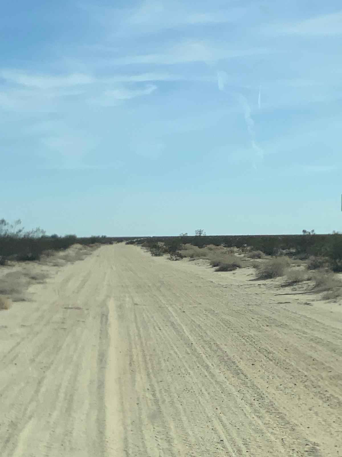
This trail begins off Mexico 2 Libre near El Hongo, marked by signs for Cienego Redondo and Rancho Isabel. Initially, you'll traverse a well-maintained dirt road with occasional washboards, winding through intriguing landscapes as you move away from the highway. If you continue straight past the first right turn on the map, you'll encounter some picturesque ranches. However, respect the "No Pase" (Don't Pass) sign at an open entrance where the road continues. Turning right as indicated on the map, the trail becomes steeper and more demanding, necessitating a 4x4 vehicle and careful navigation due to the rutted and off-camber sections. This part of the trail, marked by yellow posts, serves as a maintenance route for a Pemex gas line, with "no digging" being the only restriction. As you progress, the trail winds through pine shrubs and stunning desert scenery, leading to an ideal camping spot midway through this section. Here, you can enjoy a serene evening as rabbits emerge and coyotes howl under the setting sun--a truly magical experience. Continuing from this campsite, you'll encounter a detour where a landowner has blocked the main road, directing traffic through a barbed-wire section. This will eventually bring you back to the main road. From there, follow a well-graded path down to a bridge over the toll road, rejoining Mexico 2.
Photos of Around Cerro Anegado
Difficulty
The only challenging part is the steep section running parallel to the highway, where you'll need a 4x4 and some careful driving. Otherwise, the route is easy.
Status Reports
Around Cerro Anegado can be accessed by the following ride types:
- High-Clearance 4x4
- SUV
- SxS (60")
- ATV (50")
- Dirt Bike
Around Cerro Anegado Map
Popular Trails

Rancho Estela High Road

BOLA Cutoff

Salt Flats Trail

La Ponderosa Ranch Moto Trails
The onX Offroad Difference
onX Offroad combines trail photos, descriptions, difficulty ratings, width restrictions, seasonality, and more in a user-friendly interface. Available on all devices, with offline access and full compatibility with CarPlay and Android Auto. Discover what you’re missing today!

