Old El Compadre Loop
Total Kilometers
10.8
Technical Rating
Best Time
Fall, Winter, Spring, Summer
Trail Type
Full-Width Road
Accessible By
Trail Overview
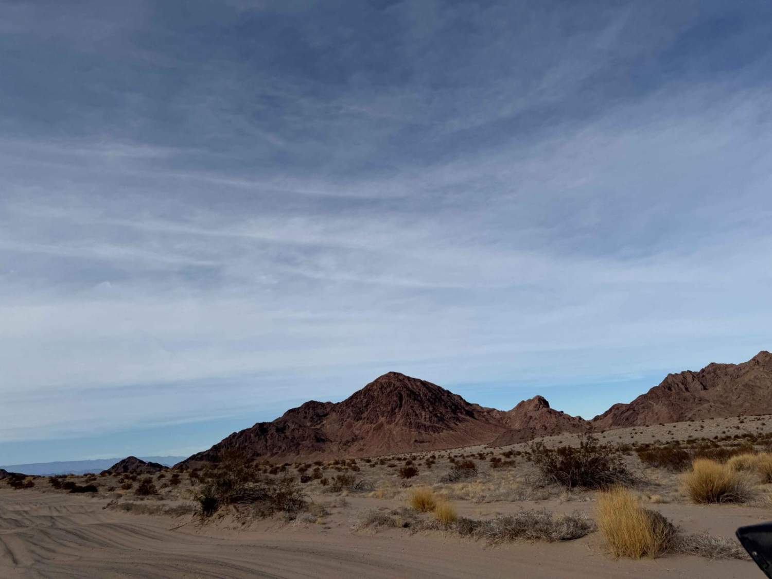
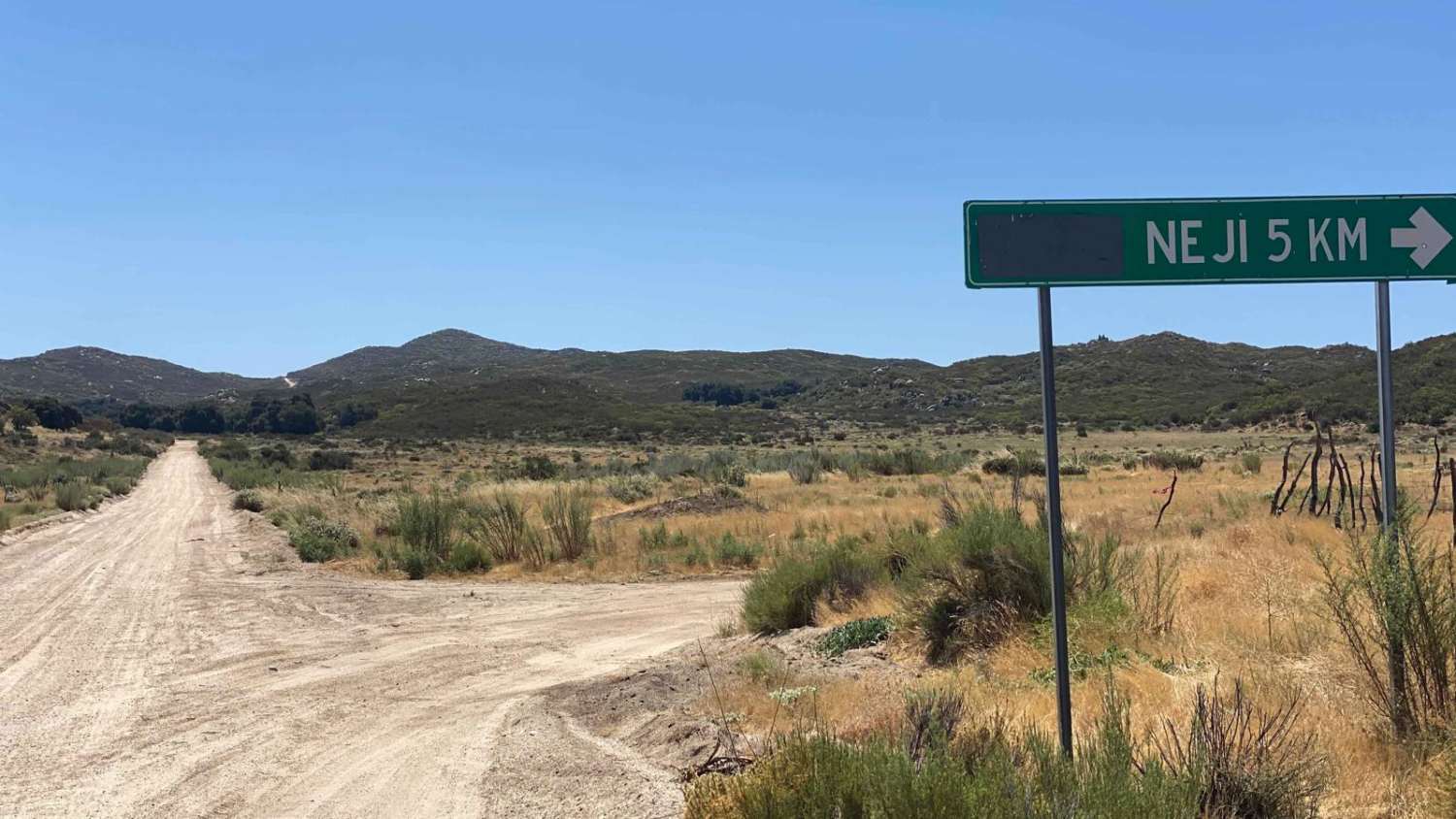
This short loop takes you through an old section still marked as El Compadre Road, now dotted with houses and parcels of land for sale. The route features one very steep section that may require four-wheel drive, although there is a bypass available. It's a picturesque journey, passing small creeks and eventually looping back through the Neji Indian Reservation and town. Locals on the reservation have indicated that it's fine to pass through, and there's even a small store in town. The road is lined with a half-dozen ranches and stunning areas with ancient oak trees, making it a delightful loop to explore if you have an hour to spare.
Photos of Old El Compadre Loop
Difficulty
This road is accessible by any high-clearance 2WD. There is a small creek crossing that was 6" deep at the time of mapping but could be deeper during or after severe storms.
Status Reports
Old El Compadre Loop can be accessed by the following ride types:
- High-Clearance 4x4
- SUV
- SxS (60")
- ATV (50")
- Dirt Bike
Old El Compadre Loop Map
Popular Trails

La Ponderosa Ranch Moto Trails

Salt Flat Loop 1000 Course

Volcano Kenton Alternate (Steep) Route

Rancho El Papalote Road
The onX Offroad Difference
onX Offroad combines trail photos, descriptions, difficulty ratings, width restrictions, seasonality, and more in a user-friendly interface. Available on all devices, with offline access and full compatibility with CarPlay and Android Auto. Discover what you’re missing today!

