Camino a la Colonia Morelia
Total Kilometers
7.7
Technical Rating
Best Time
Summer, Winter, Spring
Trail Type
Full-Width Road
Accessible By
Trail Overview
This trail is the continuation of a paved road running east to west between Eijdo Plan Nacional Agario and Fraccionamiento Palos Verdes. It runs parallel to the north side of the San Felipe Mountain. The road turns into a sandy but slightly graded road. It is very bumpy in spots and can have some deeper sand. It runs through a few washes that can be impassable after heavy rains.
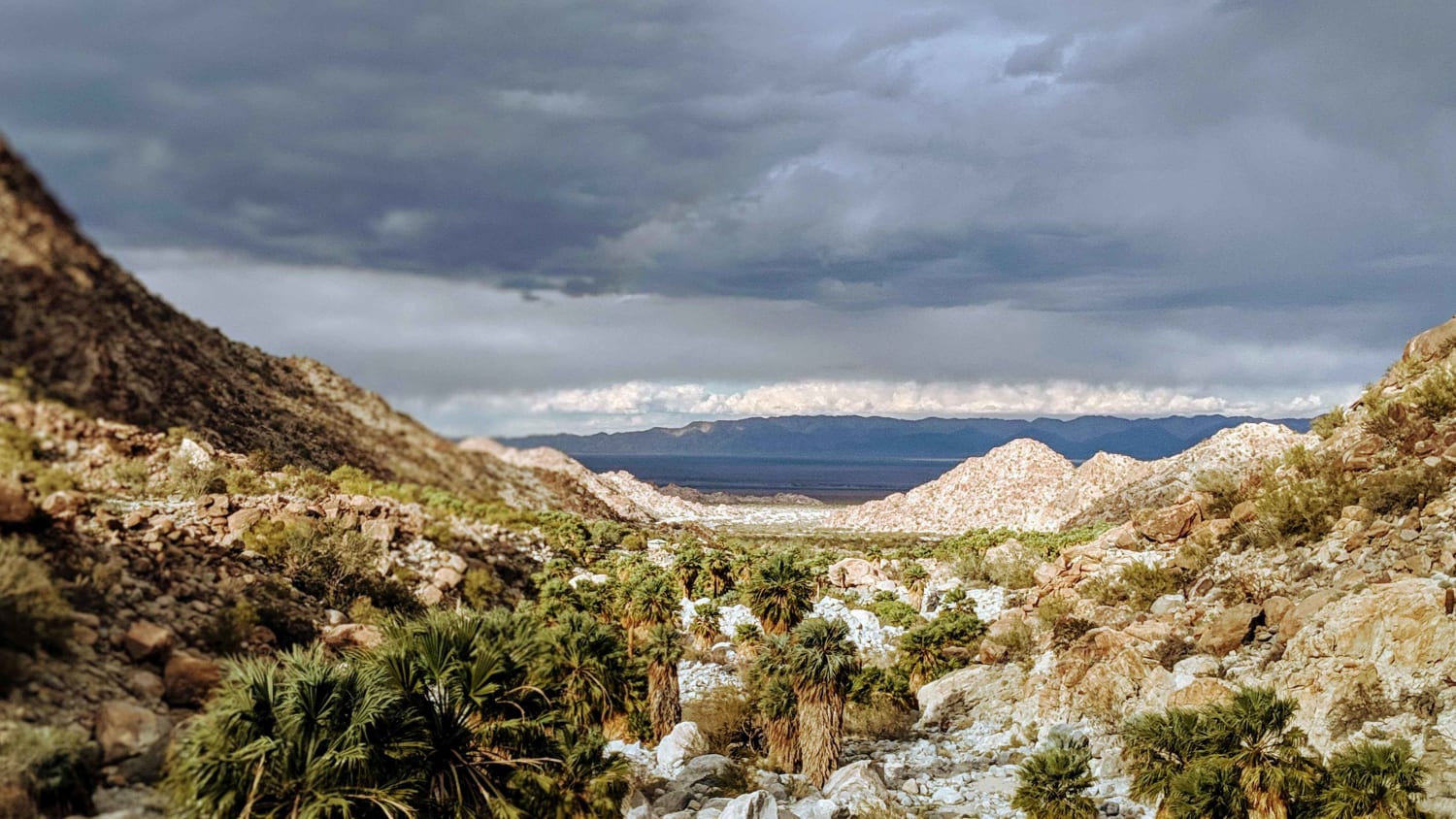
Photos of Camino a la Colonia Morelia
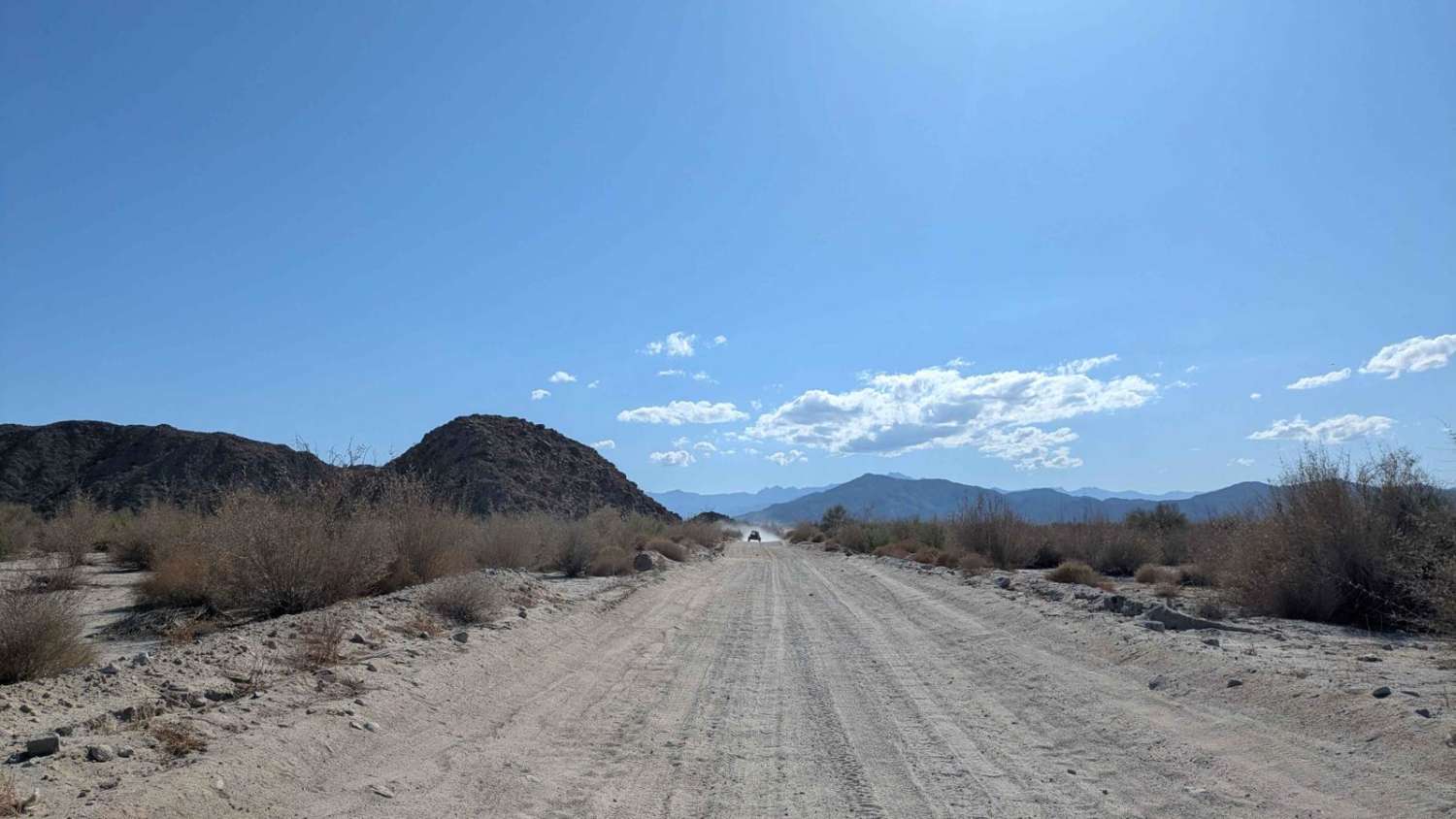

Difficulty
The first mile of the trail was recently paved. The rest of it is partially graded but very bumpy. There are a few small sections of deeper sand to navigate. There are a few washes it crosses that can be impassable after heavy rains.
Status Reports
Camino a la Colonia Morelia can be accessed by the following ride types:
- High-Clearance 4x4
- SUV
- SxS (60")
- ATV (50")
- Dirt Bike
Camino a la Colonia Morelia Map
Popular Trails
Canyon de Guadalupe High Road

Valle Tranquilo Nature Reserve Loop

Playa San Ramon Beach Cruise

Quail Canyon Road
The onX Offroad Difference
onX Offroad combines trail photos, descriptions, difficulty ratings, width restrictions, seasonality, and more in a user-friendly interface. Available on all devices, with offline access and full compatibility with CarPlay and Android Auto. Discover what you’re missing today!