Ex-Hacienda Sinaloa
Total Kilometers
13.5
Technical Rating
Best Time
Spring, Summer, Fall, Winter
Trail Type
Full-Width Road
Accessible By
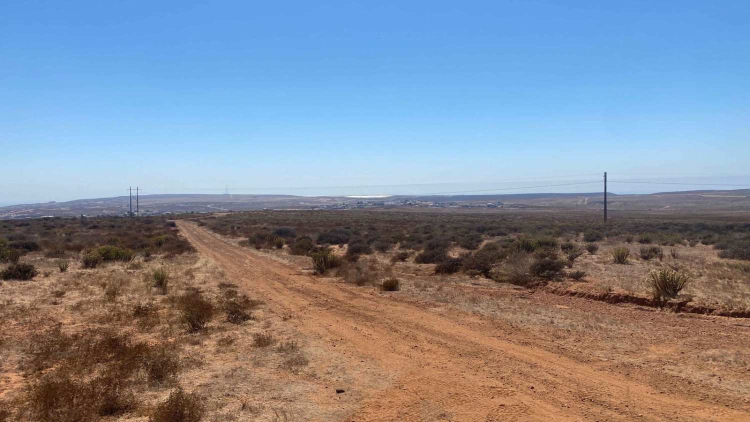
Trail Overview
This off-road trail begins at a small ejido just off Highway 1 and immediately ascends into the surrounding hills. About half a mile in, there are some flat areas suitable for camping before you begin your exploration. The trail is mostly smooth, though there are a few rugged sections, with the initial couple of miles involving a steady climb. Tire placement becomes crucial here, especially as you navigate the ruts and loose rocks. After reaching the first summit, you'll descend into scenic areas dotted with colorful lakes, which, depending on the season or recent rainfall, may expand and require taking the higher route. Continuing the ascent to a second summit, you'll encounter local wildlife like roadrunners, quail, and lizards. The final descent toward the highway to the observatory features loose rocks and challenging ruts before descending into a green area with a short sand section. As you approach the end, you'll pass through stunning areas filled with towering cacti before reaching the highway through an open gate.
Photos of Ex-Hacienda Sinaloa

Difficulty
This trail demands careful tire placement to navigate around rain ruts along its narrow stretches. Certain areas may become submerged after heavy rains, potentially turning into water crossings that elevate the trail's difficulty level.
Status Reports
Ex-Hacienda Sinaloa can be accessed by the following ride types:
- High-Clearance 4x4
- SUV
- SxS (60")
- ATV (50")
- Dirt Bike
Ex-Hacienda Sinaloa Map
Popular Trails

Beach Road to the Coastal Route

Las Alturas

Santa Gertrudis

Hereos to Santa Catarina Trails
The onX Offroad Difference
onX Offroad combines trail photos, descriptions, difficulty ratings, width restrictions, seasonality, and more in a user-friendly interface. Available on all devices, with offline access and full compatibility with CarPlay and Android Auto. Discover what you’re missing today!