Santa Gertrudis
Total Kilometers
17.7
Technical Rating
Best Time
Spring, Summer, Fall, Winter
Trail Type
Full-Width Road
Accessible By
Trail Overview
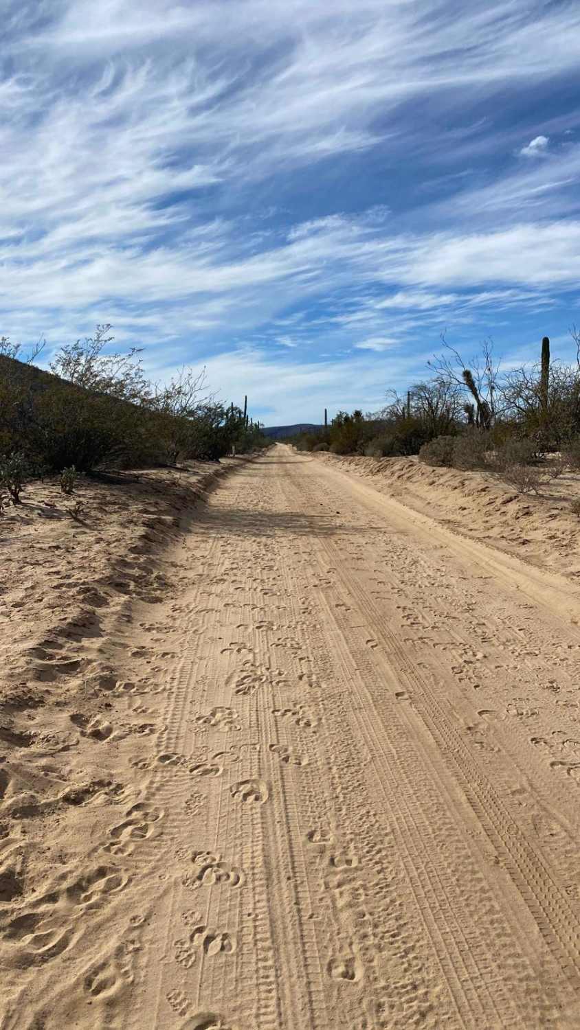
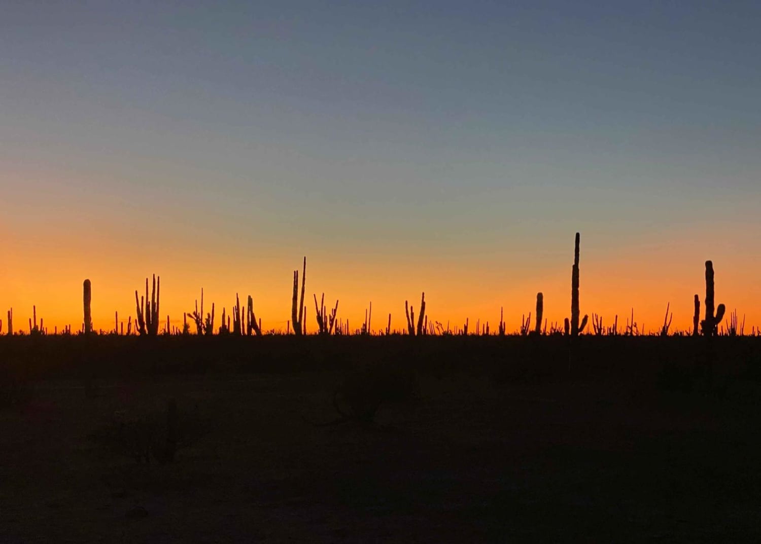
This road begins in El Arco, a seemingly abandoned mining town with decaying buildings, remnants of machinery, and few signs of human activity. As you navigate through the canyon, the trail transitions into a wide, flat, and well-maintained road, offering a scenic and enjoyable drive. While washboard sections are common, airing down your tires can greatly improve comfort. Along the way, you'll encounter abundant desert wildlife, including rabbits, small animals darting across the road, and a variety of birds. The road concludes at a four-way intersection that connects to the Mision Santa Gertrudis route, where the terrain becomes more challenging and requires greater technical skill to navigate.
Photos of Santa Gertrudis

Difficulty
This is a fairly straightforward route for any 2WD vehicle with good clearance.
Status Reports
Santa Gertrudis can be accessed by the following ride types:
- High-Clearance 4x4
- SUV
- SxS (60")
- ATV (50")
- Dirt Bike
Santa Gertrudis Map
Popular Trails
Ruta El Arco

Backcountry Gateway Trail

El Sacrificio

Middle North
The onX Offroad Difference
onX Offroad combines trail photos, descriptions, difficulty ratings, width restrictions, seasonality, and more in a user-friendly interface. Available on all devices, with offline access and full compatibility with CarPlay and Android Auto. Discover what you’re missing today!