Francisco Villa Loop
Total Kilometers
10.9
Technical Rating
Best Time
Spring, Summer, Fall, Winter
Trail Type
Full-Width Road
Accessible By
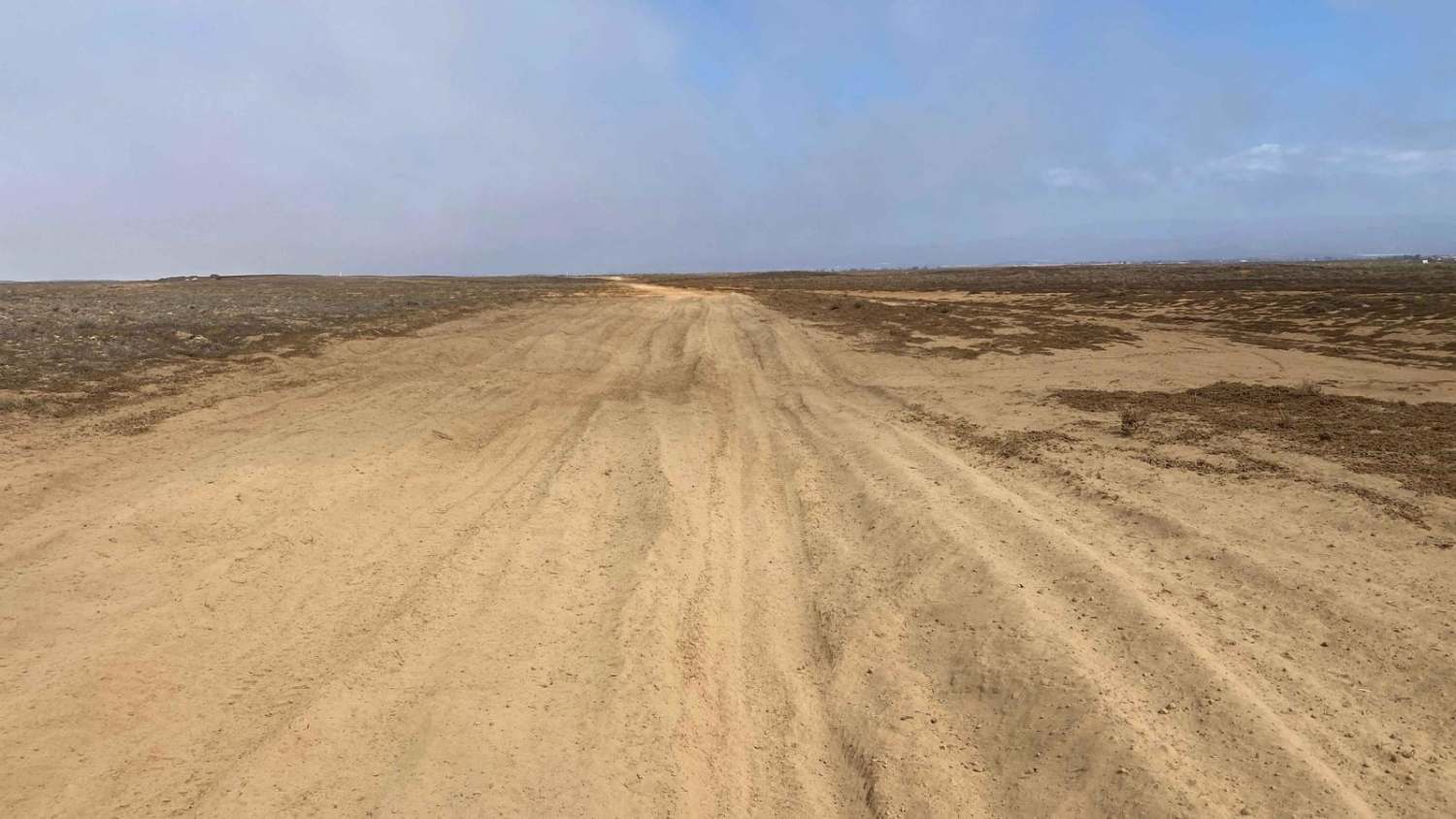
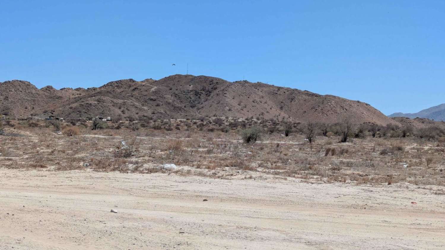
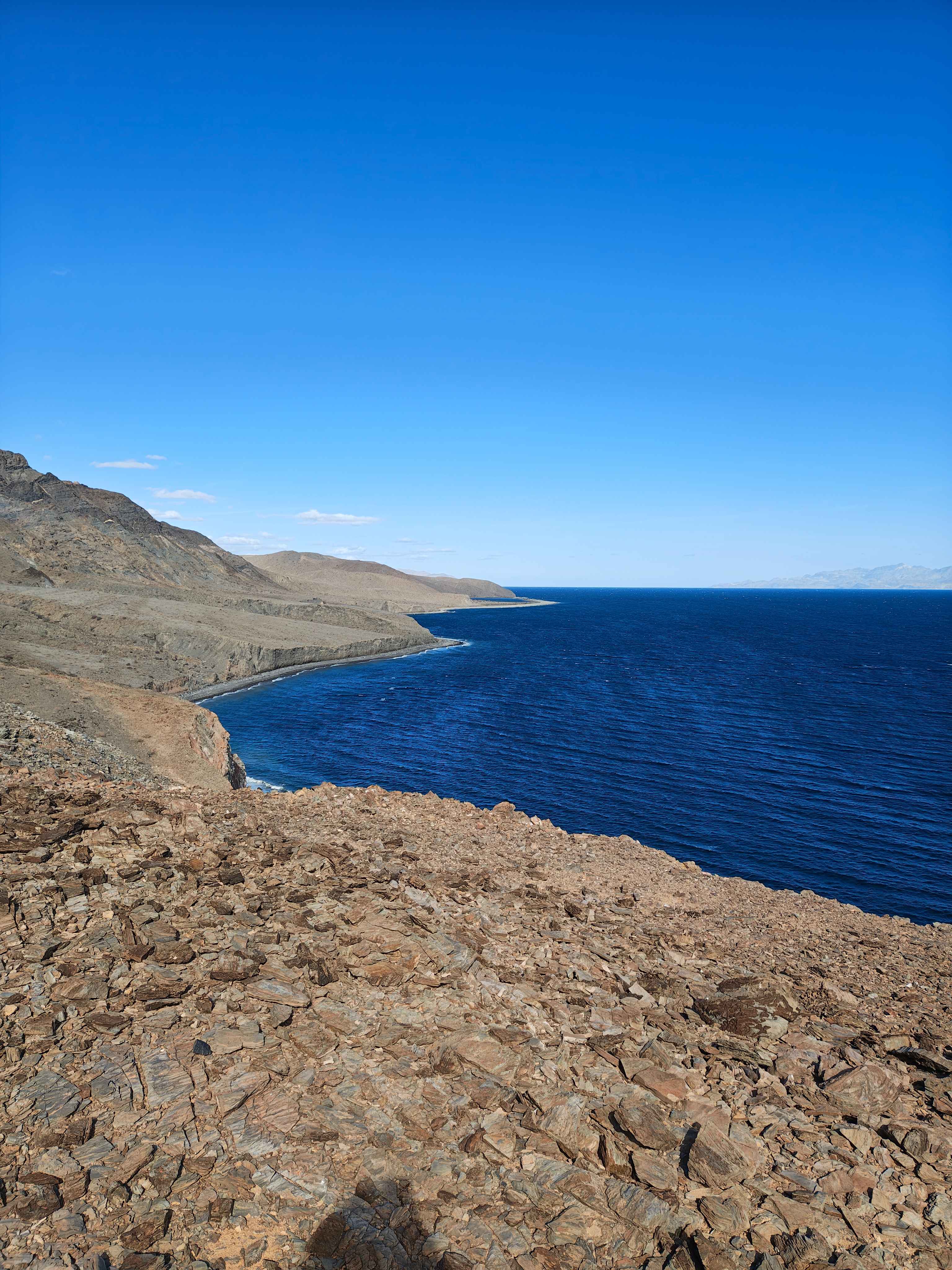
Trail Overview
This off-road trail may not be particularly adventurous, but it leads to several coastal access points and offers access to a trail along the salt flats. Starting at the San Quintin bridge, you can choose between Francisco Via Road, which runs above the wash, or take the wash itself, with both routes merging at the same location. The journey takes you past a primitive structure and a larger farmhouse before ending in the direction of the highway. To the west, sand dunes line the horizon, with side roads leading to fishing spots on the ocean. A mile before the trail's end, a left turn offers a scenic loop through the salt flats, eventually connecting back to Highway 1.
Photos of Francisco Villa Loop

Difficulty
This route is accessible to any high-clearance vehicle in dry conditions, though there are a few sections of shallow sand where maintaining speed is crucial if you don't have 4WD to assist you.
Status Reports
Francisco Villa Loop can be accessed by the following ride types:
- High-Clearance 4x4
- SUV
- SxS (60")
- ATV (50")
- Dirt Bike
Francisco Villa Loop Map
Popular Trails
Colinas Eijdo Plan Nacional Agario
Alcatraz Bay - Single Track

Los Martires

La Bocana to San Jose
The onX Offroad Difference
onX Offroad combines trail photos, descriptions, difficulty ratings, width restrictions, seasonality, and more in a user-friendly interface. Available on all devices, with offline access and full compatibility with CarPlay and Android Auto. Discover what you’re missing today!