Sendero de Descenso por el Acantilado
Total Kilometers
5.7
Technical Rating
Best Time
Winter, Summer, Spring
Trail Type
Full-Width Road
Accessible By
Trail Overview
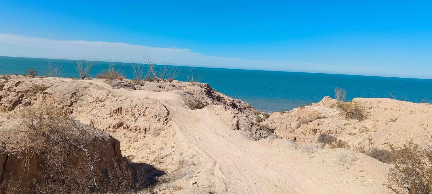
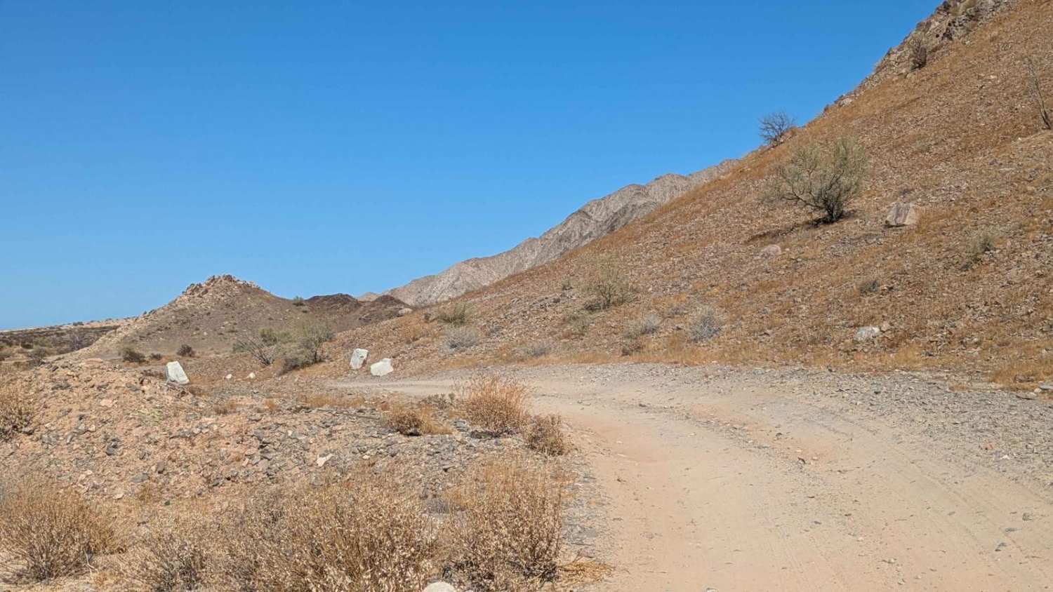
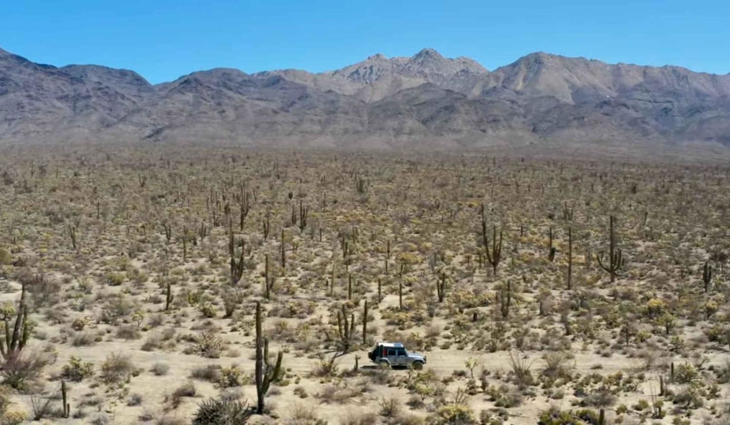
Sendero de Descenso por el Acantilado or Cliffside Descent Trail, begins just off Highway 5, directly across from Ejido Plan Nacional Agrario. Upon entering, be sure to close the gate behind you. The trail starts out flat and easy, winding gently through open desert terrain as it makes its way toward the Sea of Cortez. Along the route, you'll pass a few abandoned coastal homes, remnants of past settlement attempts, before climbing to the top of a massive dune that offers dramatic, cliffside views hundreds of feet above the shoreline. From here, the trail closely hugs the coastline and becomes more rugged, with sandy whoops and narrow, off-camber stretches that demand driver focus. The final half-mile before the beach is particularly challenging -- the path narrows dangerously and leans heavily off-camber, posing a serious rollover risk for wide or top-heavy vehicles. Extreme caution is advised in this section, or turning around may be the safest choice for some. The trail then drops steeply, nearly 200 feet, onto the beach itself. After crossing the sand (which can be soft, especially during tides or post-rain), the trail loops back toward the highway to complete the journey.
Photos of Sendero de Descenso por el Acantilado
Difficulty
Most of the trail is a 1 or 2 in difficulty, but the section just before the beach drop off is very narrow and off-camber. It has eroded more overtime. Always GOAL (GET OUT AND LOOK) before attempting this section. Turn around is always a safe bet. The sand can also be very deep up around the dune by the abandoned houses and down by the beach.
Status Reports
Sendero de Descenso por el Acantilado can be accessed by the following ride types:
- High-Clearance 4x4
- SUV
- SxS (60")
- ATV (50")
- Dirt Bike
Sendero de Descenso por el Acantilado Map
Popular Trails
Calamajue Canyon Trail

Las Alturas

Laguna Hanson to El Compadre

Monte Ceniza Nature Reserve
The onX Offroad Difference
onX Offroad combines trail photos, descriptions, difficulty ratings, width restrictions, seasonality, and more in a user-friendly interface. Available on all devices, with offline access and full compatibility with CarPlay and Android Auto. Discover what you’re missing today!