Monte Ceniza Nature Reserve
Total Kilometers
11.1
Technical Rating
Best Time
Spring, Summer, Winter, Fall
Trail Type
Full-Width Road
Accessible By
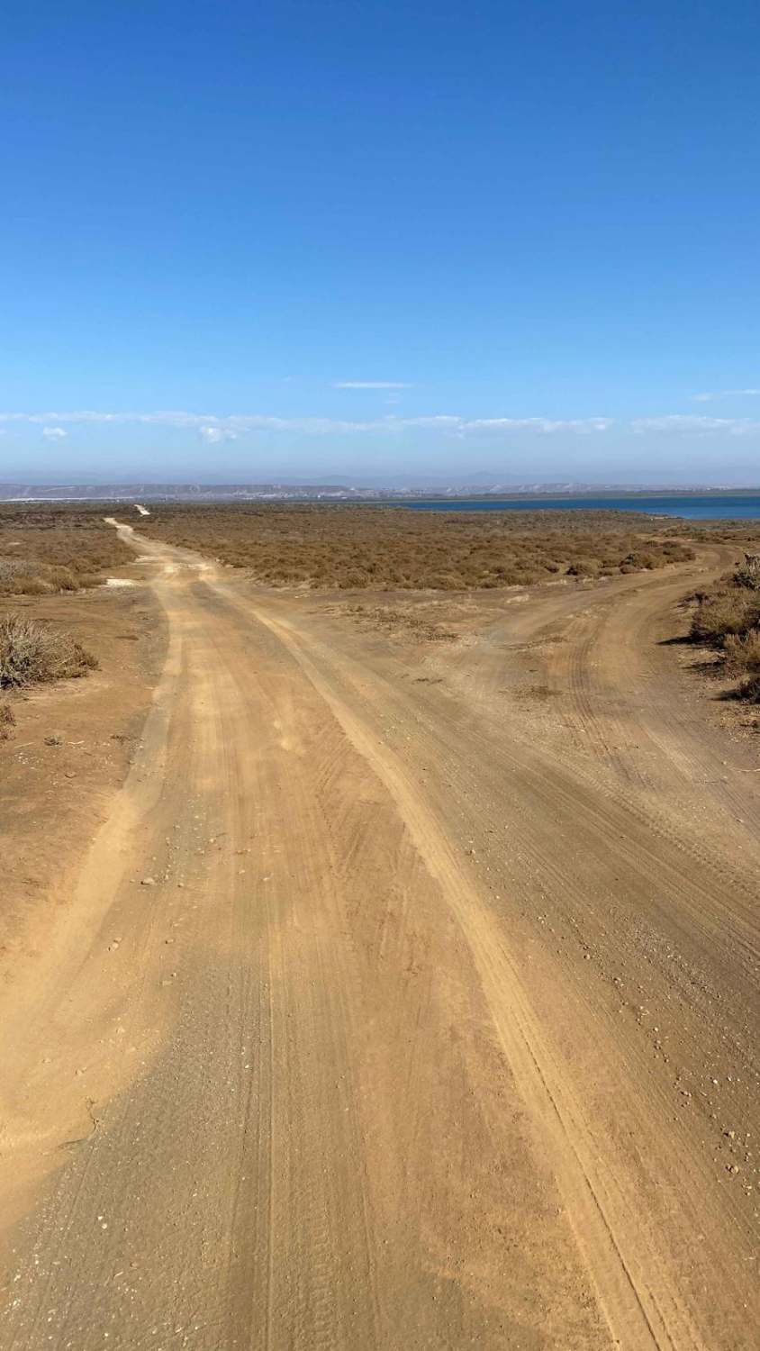
Trail Overview
After enduring the bumpy washboard road, you'll be glad you made the effort to reach this stunning loop. The trail ahead is velvety smooth and a joy to drive, offering some of the best scenery and wildlife sightings in the region. As you pass the volcanic area, you'll have the option to take short detours for additional exploration. The first of these leads to the volcano itself, where you can drive up to a lookout and hike around the crater. Continuing along the coast, several pullouts on the left provide access to the ocean. As you round the point and head back, the bird-watching becomes extraordinary, with hundreds of birds fishing in the waters, showcasing a variety of species. The final stretch of the loop takes you past fascinating oyster farms, where you'll see interesting buildings and a major fishery. If you choose to continue straight instead of completing the loop, you can stop at locations where fresh oysters are sold directly from the farms. Though this trip can be completed in about an hour, it's well worth spending most of the day exploring this captivating peninsula.
Photos of Monte Ceniza Nature Reserve

Difficulty
While there are a few sandy sections along the way, most vehicles should have no trouble navigating this route.
Status Reports
Monte Ceniza Nature Reserve can be accessed by the following ride types:
- High-Clearance 4x4
- SUV
- SxS (60")
- ATV (50")
- Dirt Bike
Monte Ceniza Nature Reserve Map
Popular Trails
Arroyo Ridge

Kenton Volcano Summit

Arroyo El Rosario

Laguna Hanson to El Compadre
The onX Offroad Difference
onX Offroad combines trail photos, descriptions, difficulty ratings, width restrictions, seasonality, and more in a user-friendly interface. Available on all devices, with offline access and full compatibility with CarPlay and Android Auto. Discover what you’re missing today!