Santo Tomas to Vicente Guerrero
Total Kilometers
136.1
Technical Rating
Best Time
Spring, Winter
Trail Type
Full-Width Road
Accessible By
Trail Overview
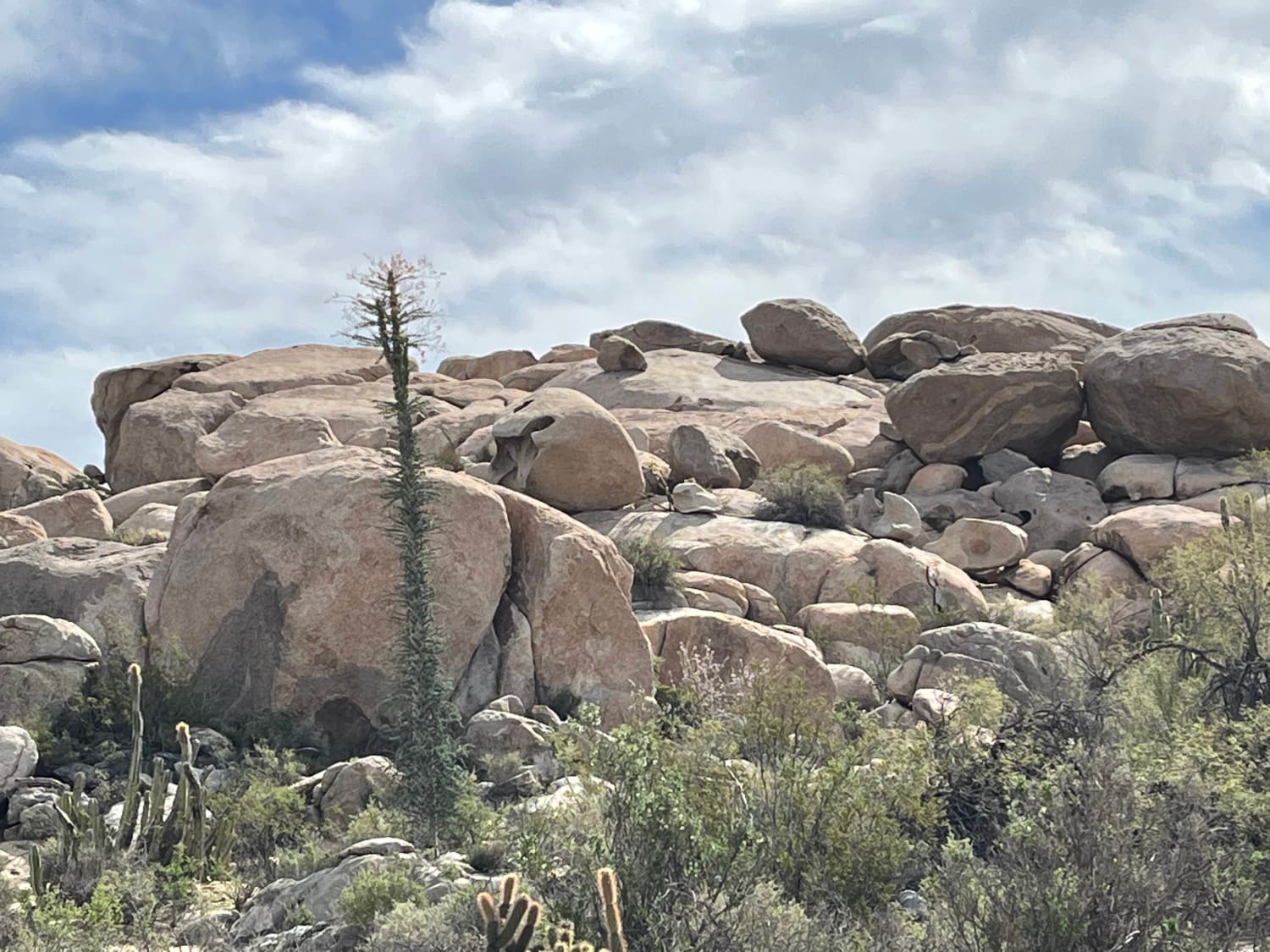
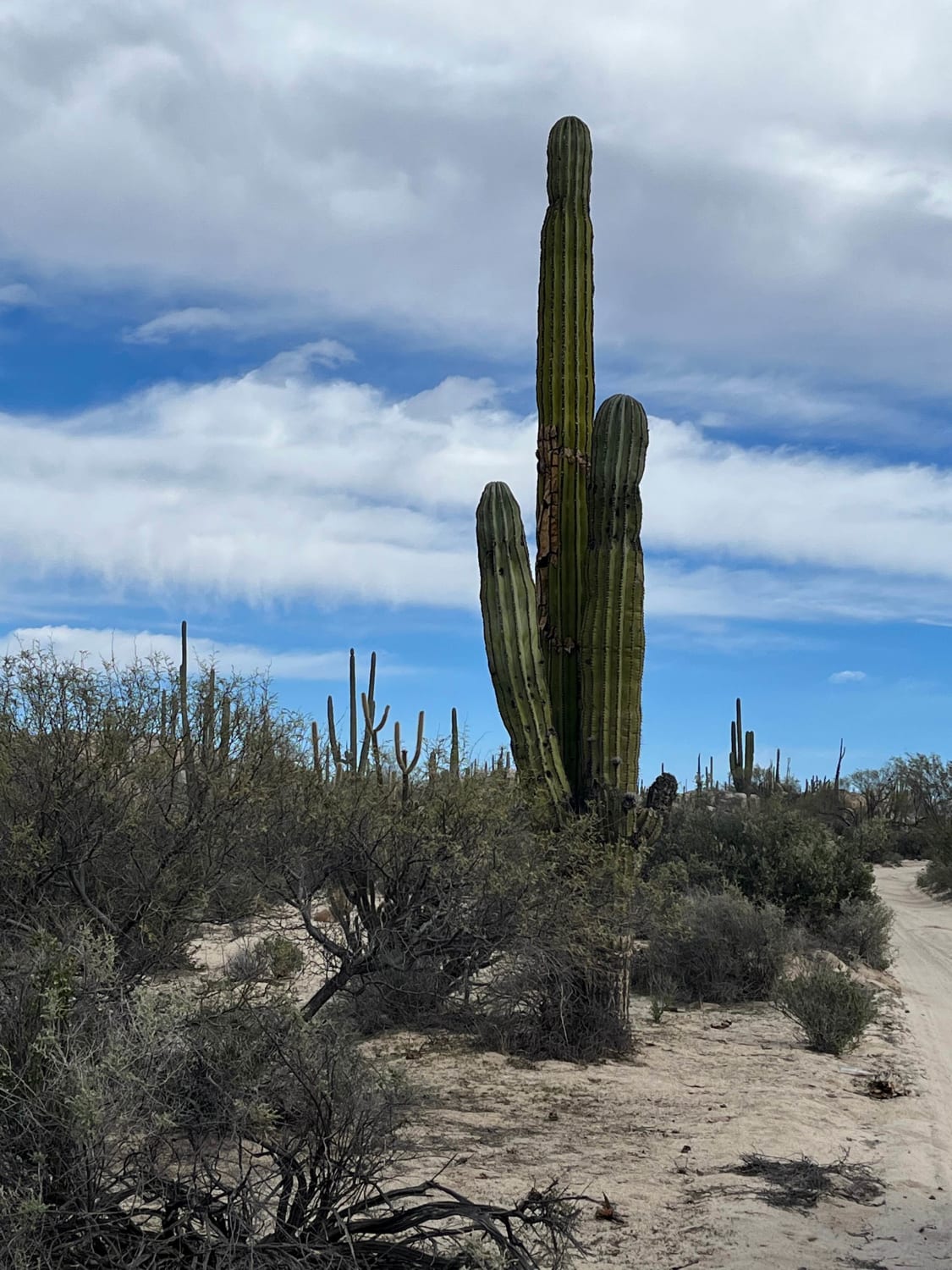
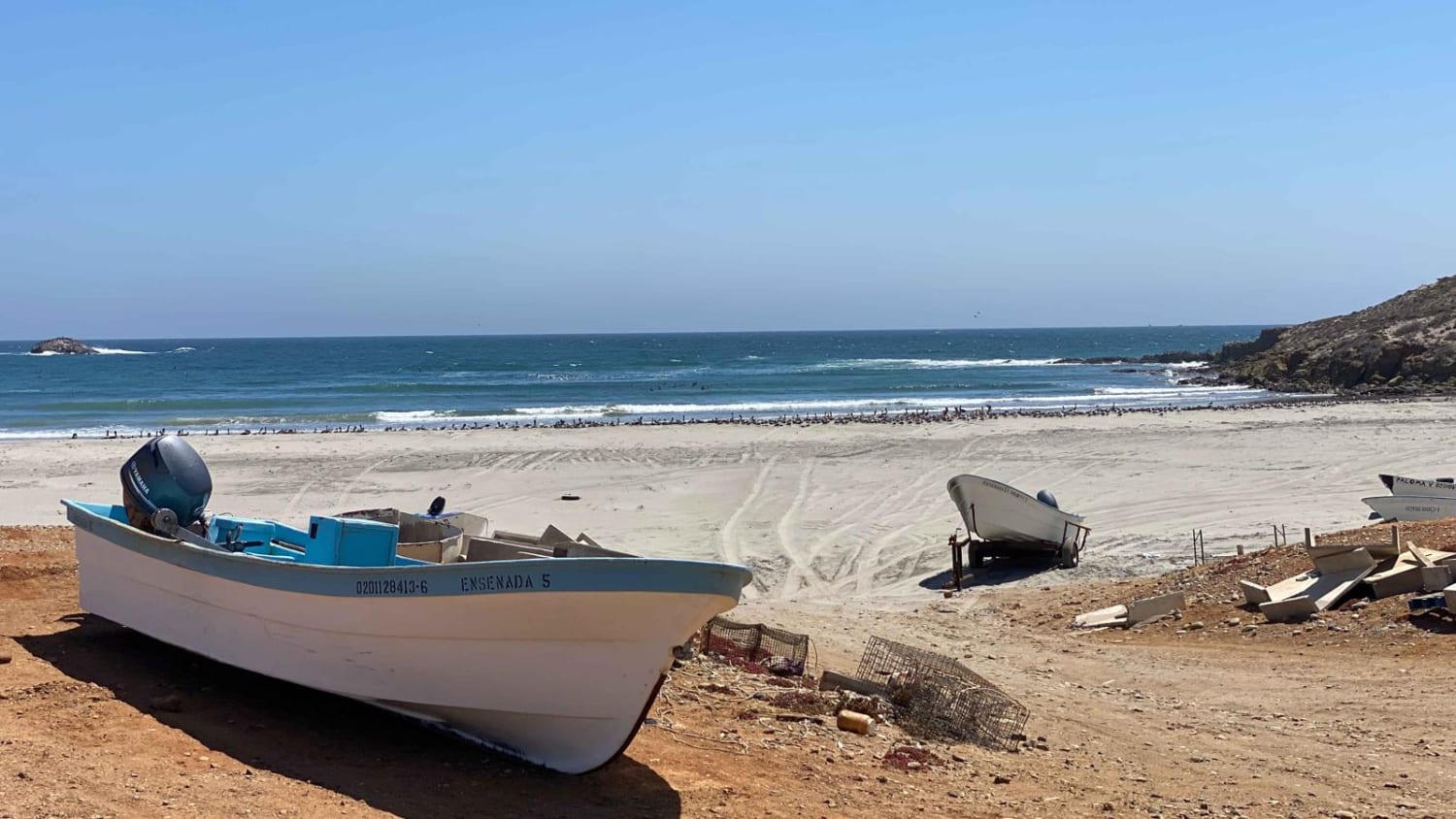
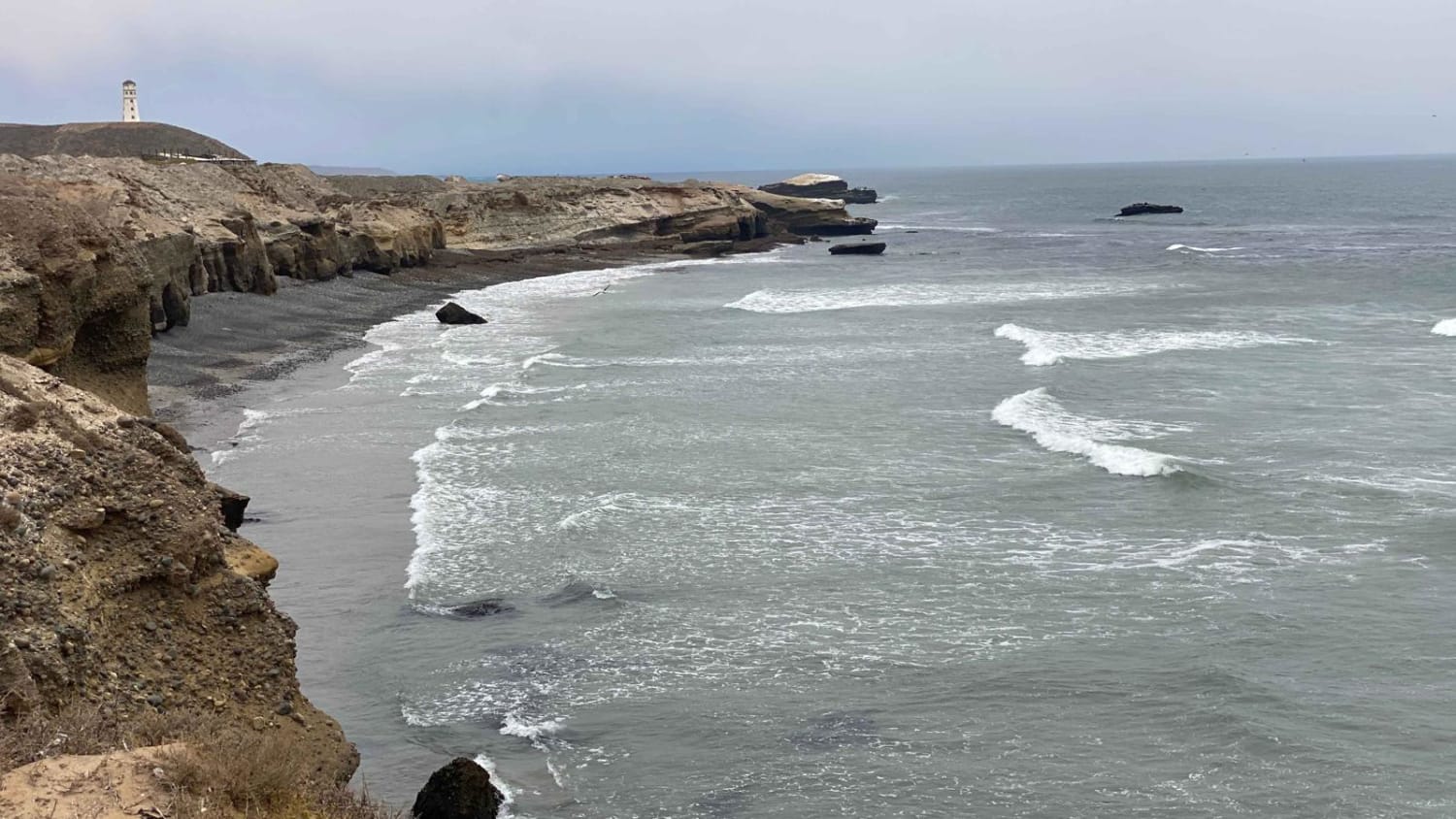
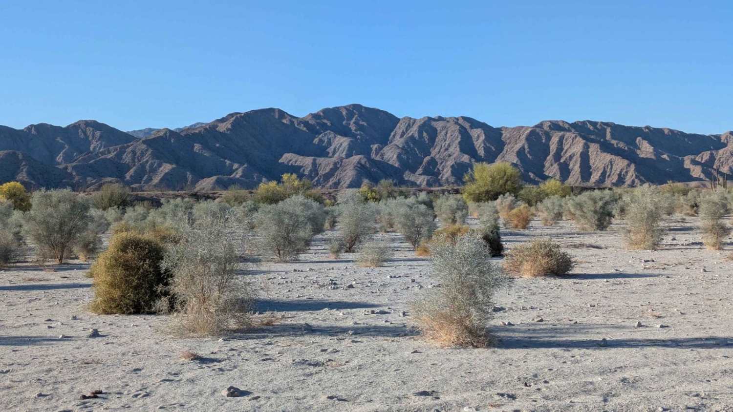
This dirt road and sometimes trail leads you through rough mountains and along the Pacific coast of Baja California. The uneven road is manageable by most, but how long it takes depends on your equipment and skill. The trek south, while passing through a few small villages, provides beautiful views of the ocean adjacent the equally stunning dry, rocky desert.
Photos of Santo Tomas to Vicente Guerrero
Difficulty
The road/trail is generally straightforward with some narrows with looks rocks and sand, but the distance and remoteness requires this not be travelled solo or without ample supplies and gear.
Status Reports
Santo Tomas to Vicente Guerrero can be accessed by the following ride types:
- High-Clearance 4x4
- SUV
- SxS (60")
- ATV (50")
- Dirt Bike
Santo Tomas to Vicente Guerrero Map
Popular Trails
El Marmolito

Presa El Corizzo
El Rosario to Punta San Antonio
Octillo y Cacti Wash
The onX Offroad Difference
onX Offroad combines trail photos, descriptions, difficulty ratings, width restrictions, seasonality, and more in a user-friendly interface. Available on all devices, with offline access and full compatibility with CarPlay and Android Auto. Discover what you’re missing today!