Off-Road Trails in Utah
Discover off-road trails in Utah
Learn more about Winter Camp Ridge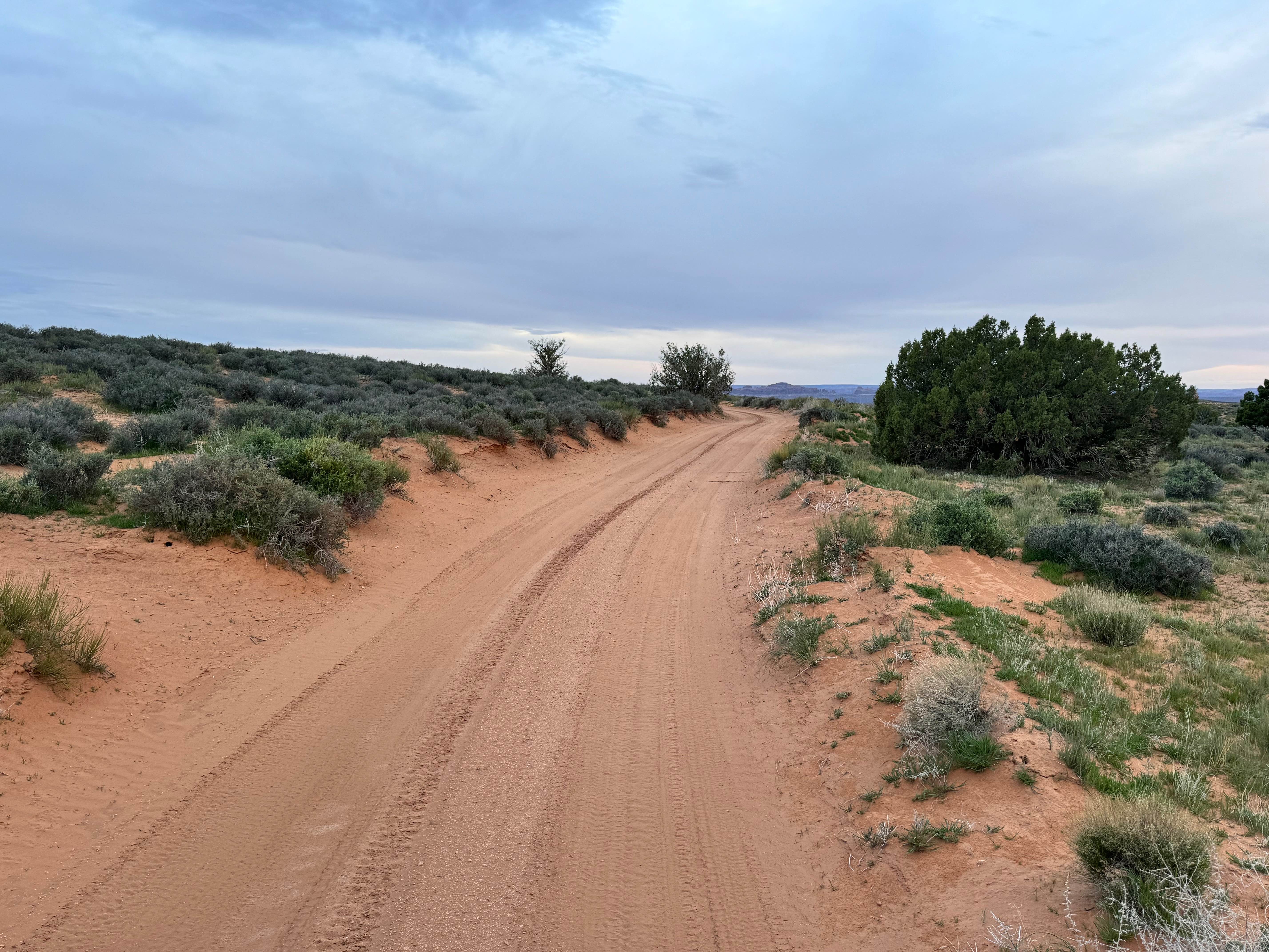
Winter Camp Ridge
Total Miles
4.6
Tech Rating
Easy
Best Time
Spring, Summer, Fall, Winter
Learn more about Winter Dome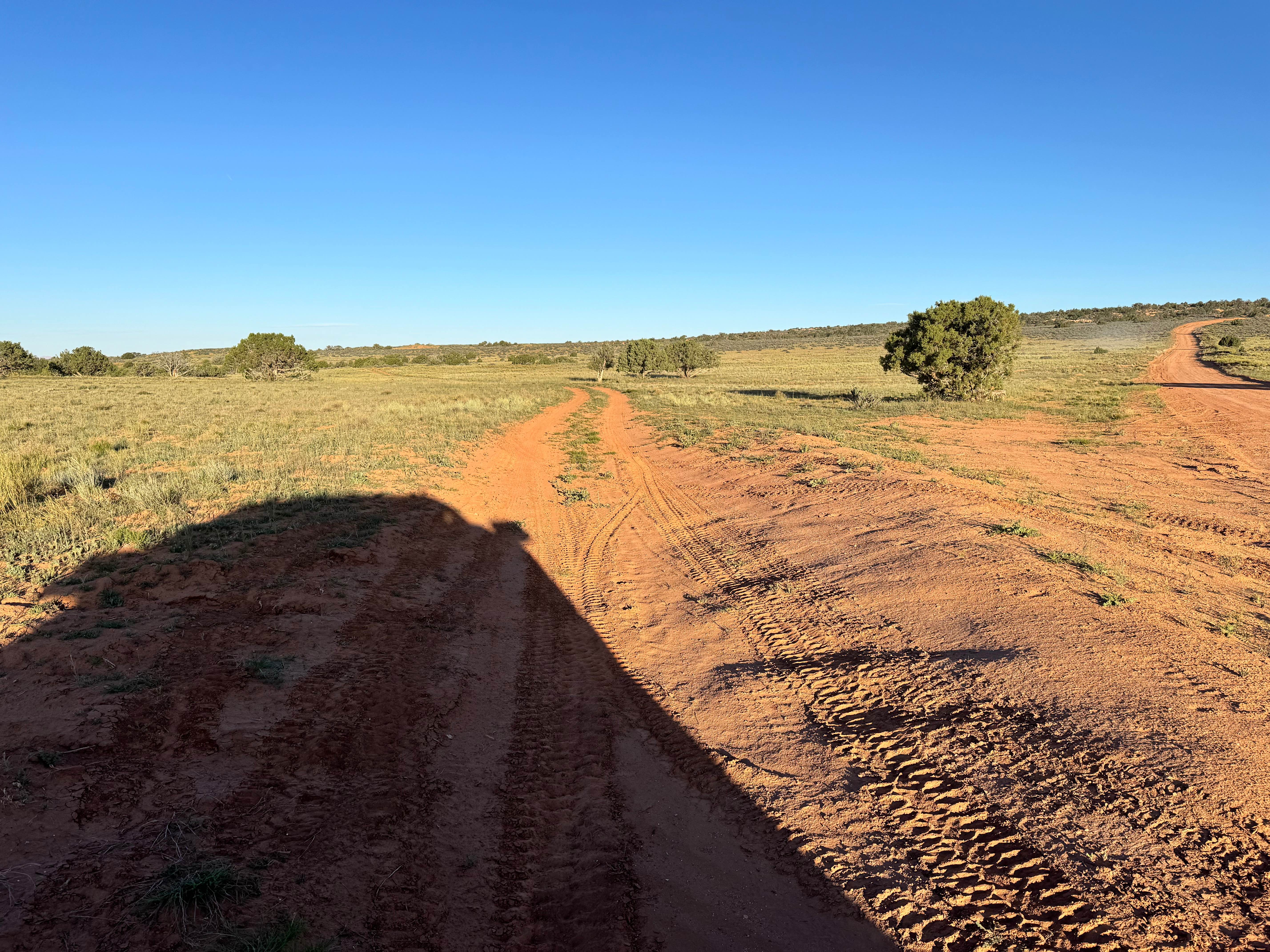
Winter Dome
Total Miles
3.1
Tech Rating
Easy
Best Time
Spring, Summer, Fall, Winter
Learn more about Wipeout Hill Loop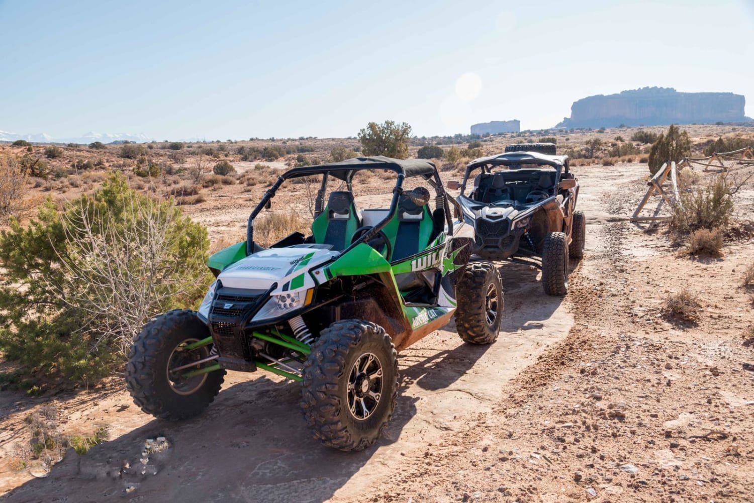
Wipeout Hill Loop
Total Miles
6.0
Tech Rating
Moderate
Best Time
Spring, Summer, Fall
Learn more about Wire Mesa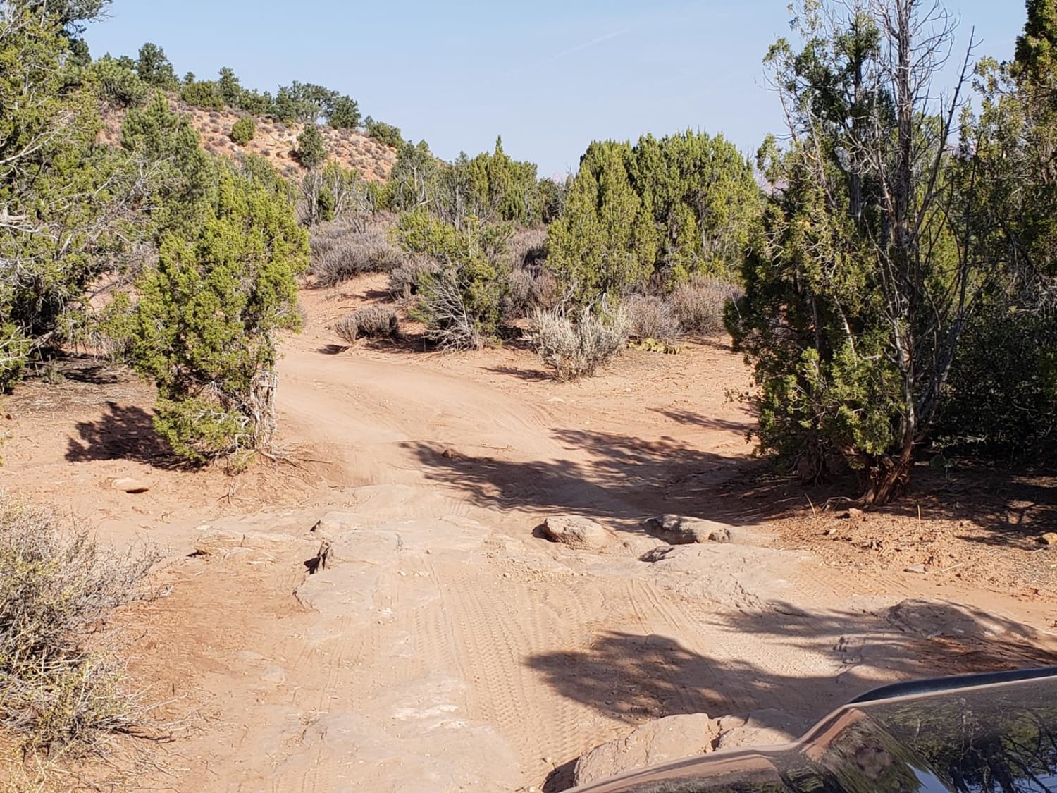
Wire Mesa
Total Miles
1.4
Tech Rating
Easy
Best Time
Spring, Summer, Fall, Winter
Learn more about Wolverine Canyon
Wolverine Canyon
Total Miles
6.3
Tech Rating
Easy
Best Time
Winter, Fall, Summer, Spring
Learn more about Wolverine Loop Road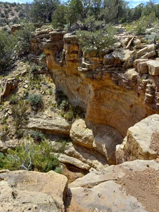
Wolverine Loop Road
Total Miles
8.1
Tech Rating
Easy
Best Time
Spring, Summer, Fall
Learn more about Wolverine Loop Road - 0640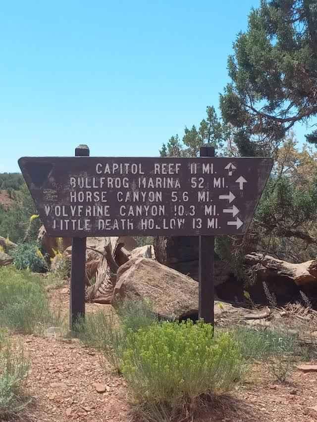
Wolverine Loop Road - 0640
Total Miles
19.4
Tech Rating
Easy
Best Time
Spring, Summer, Fall
Learn more about Woodside Ruins
Woodside Ruins
Total Miles
4.9
Tech Rating
Easy
Best Time
Spring, Fall, Winter
Learn more about Yellow Cat Loop
Yellow Cat Loop
Total Miles
1.7
Tech Rating
Easy
Best Time
Spring, Summer, Fall, Winter
Learn more about Yellow Cat Road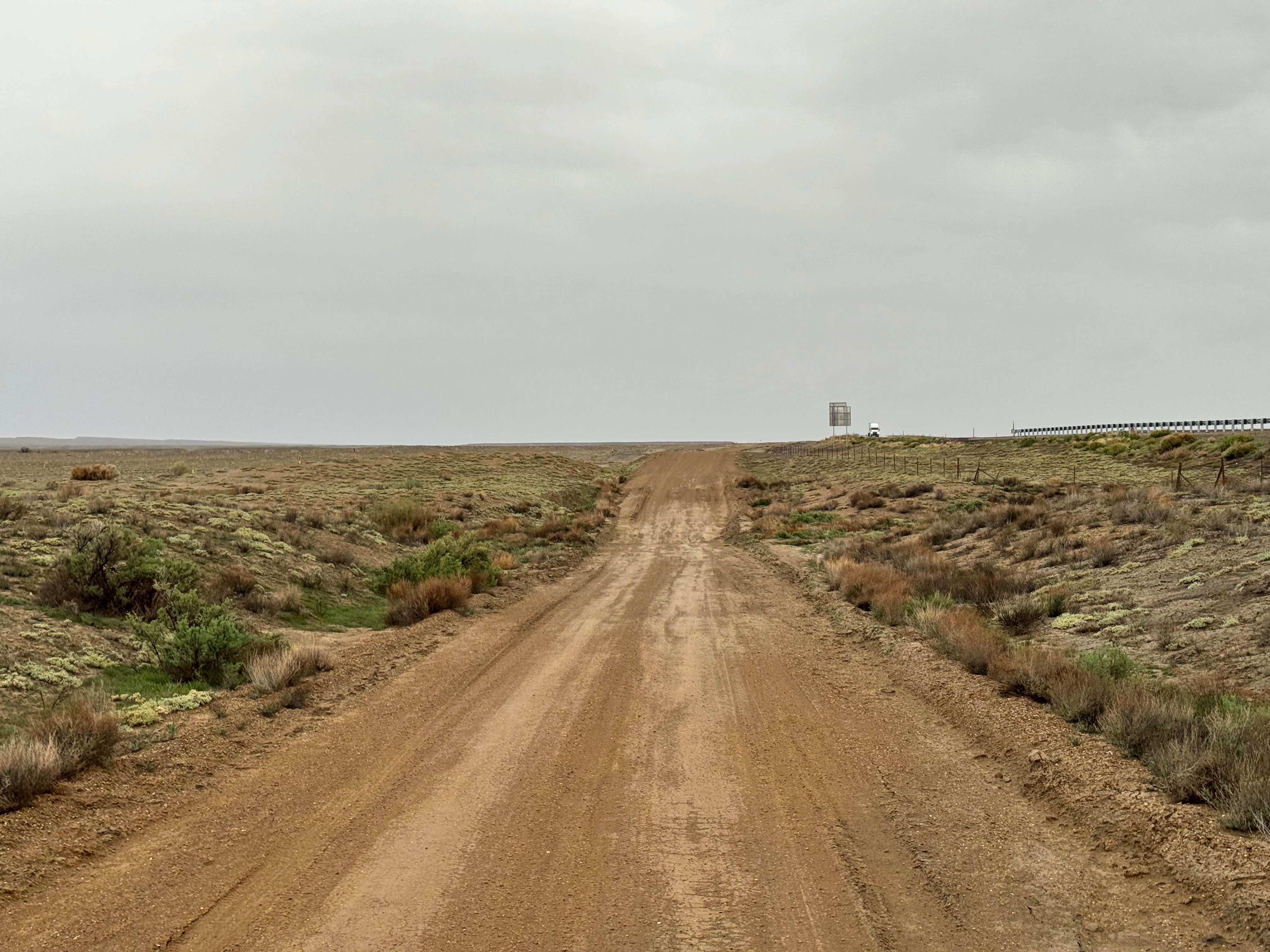
Yellow Cat Road
Total Miles
21.9
Tech Rating
Easy
Best Time
Spring, Summer, Fall, Winter
Learn more about Yellow Cat Scenic Connector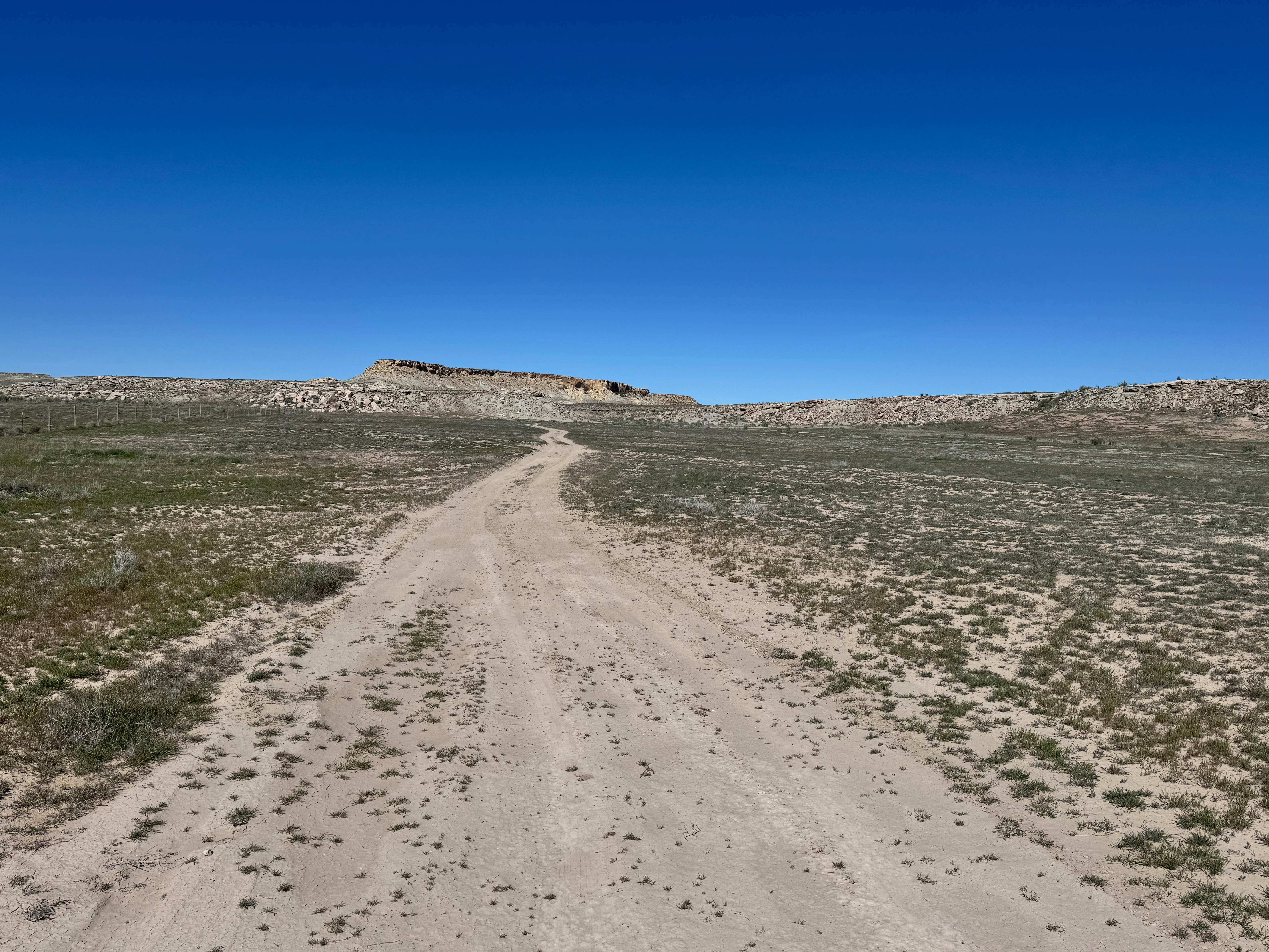
Yellow Cat Scenic Connector
Total Miles
2.1
Tech Rating
Easy
Best Time
Spring, Summer, Fall, Winter
Learn more about Yellowman/Gooseberry Mesa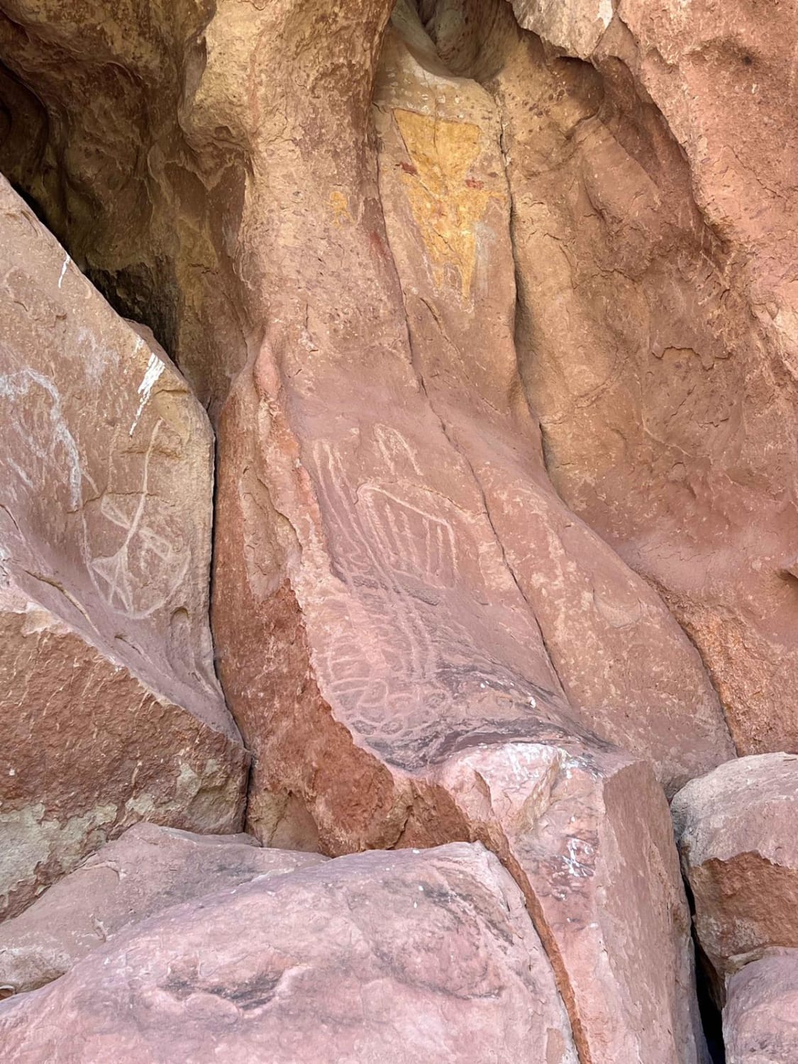
Yellowman/Gooseberry Mesa
Total Miles
2.5
Tech Rating
Easy
Best Time
Summer, Spring, Fall
Learn more about Yellowstone ATV Trail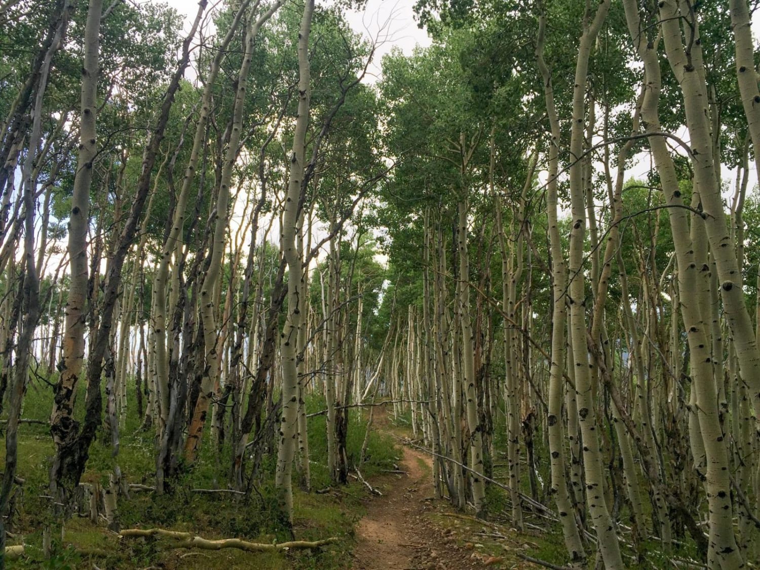
Yellowstone ATV Trail
Total Miles
22.3
Tech Rating
Moderate
Best Time
Summer, Fall
Learn more about Yucca Way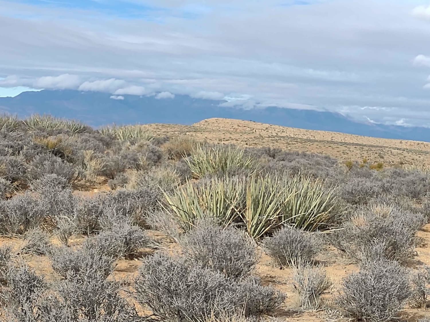
Yucca Way
Total Miles
2.7
Tech Rating
Easy
Best Time
Spring, Summer, Fall, Winter
Learn more about Yucca Way Spur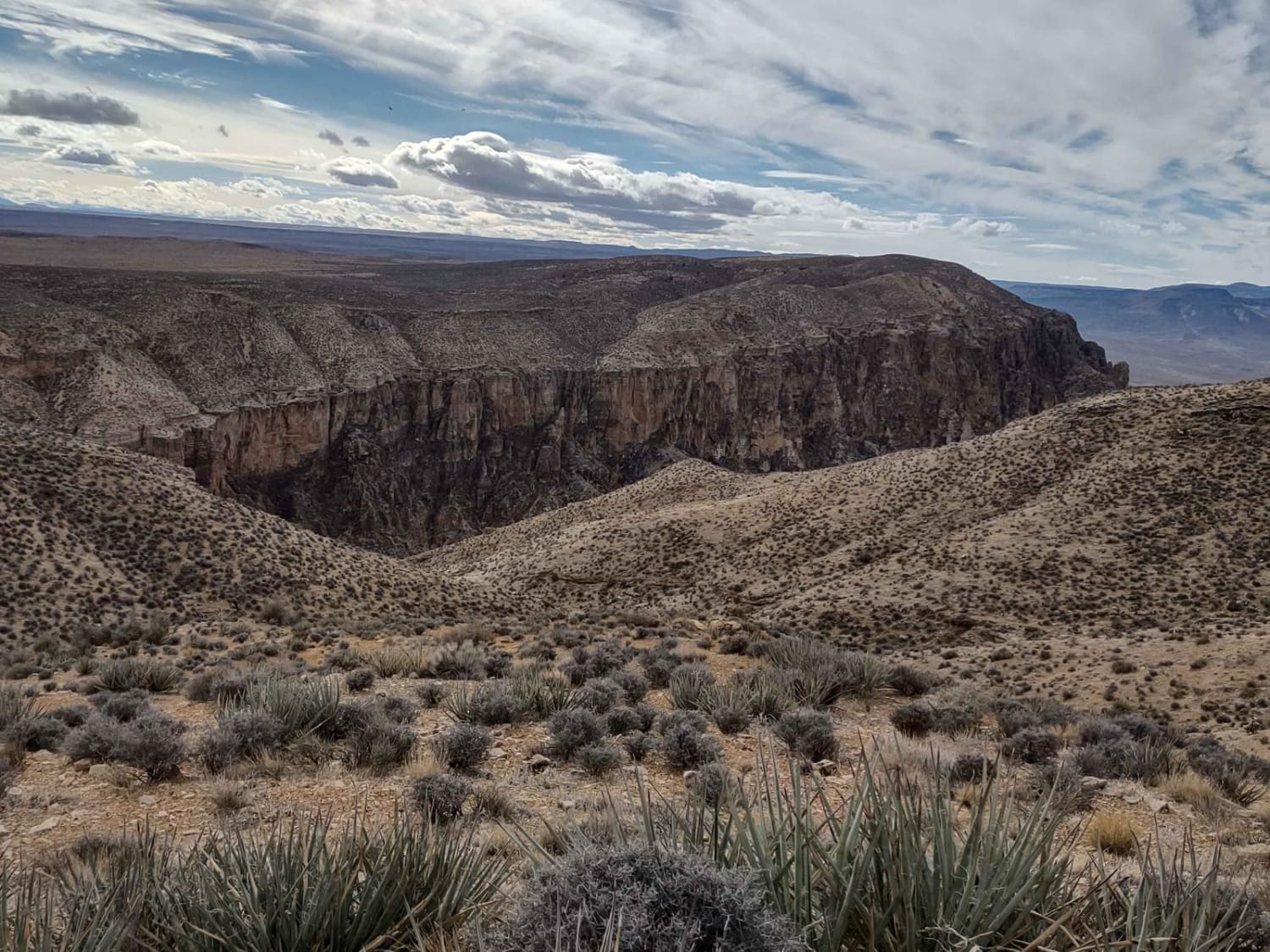
Yucca Way Spur
Total Miles
0.3
Tech Rating
Easy
Best Time
Spring, Summer, Fall, Winter
Learn more about Zion Curtain Part 1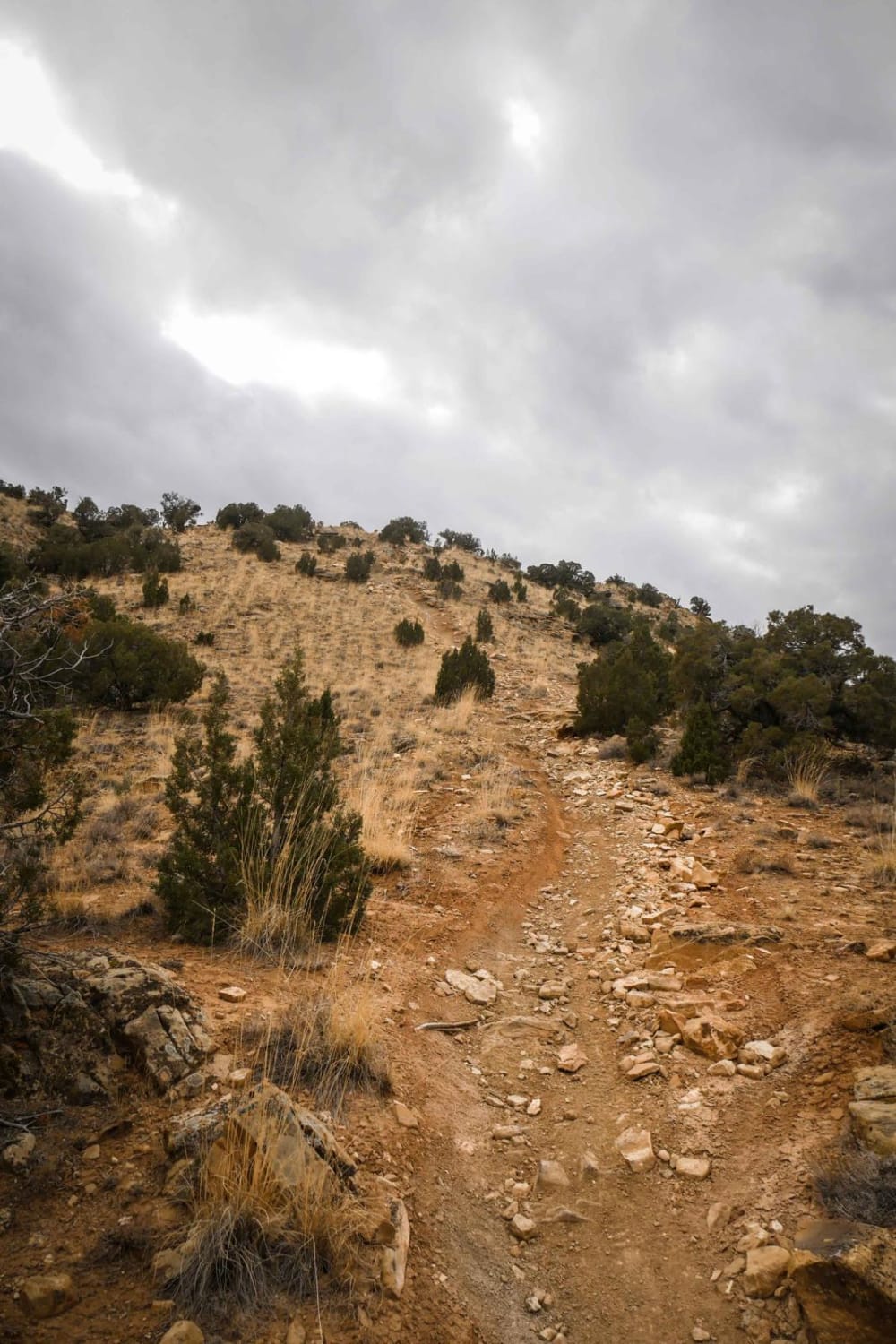
Zion Curtain Part 1
Total Miles
8.3
Tech Rating
Difficult
Best Time
Fall, Spring
Learn more about Zion Curtain Part 2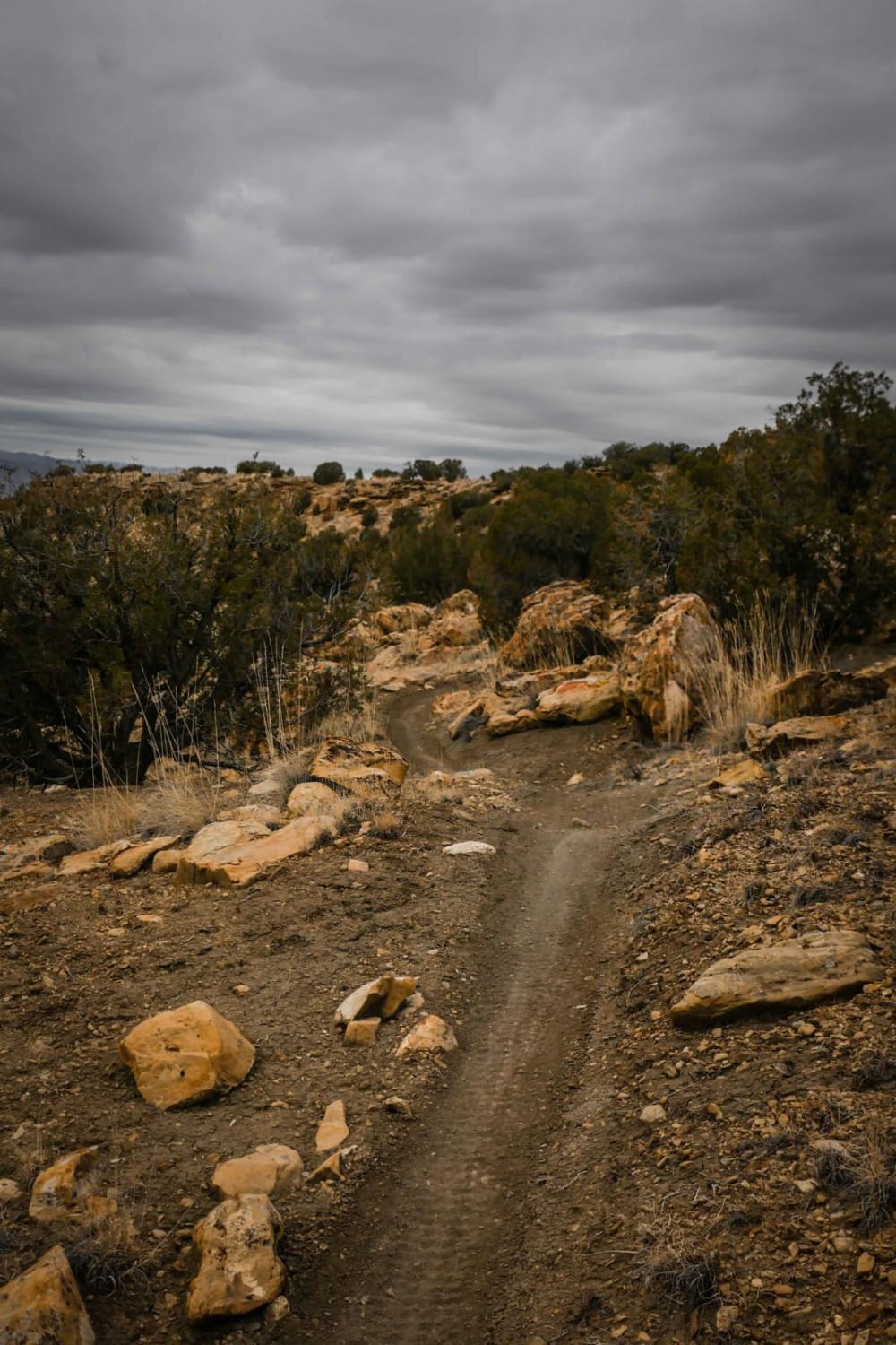
Zion Curtain Part 2
Total Miles
4.6
Tech Rating
Moderate
Best Time
Fall, Spring
Learn more about Zion National Park Observation Point Trailhead
Zion National Park Observation Point Trailhead
Total Miles
2.8
Tech Rating
Easy
Best Time
Spring, Summer, Fall
Learn more about Zion Overlook
Zion Overlook
Total Miles
0.4
Tech Rating
Moderate
Best Time
Spring, Summer, Fall
ATV trails in Utah

Learn more about 14 Mile Road
14 Mile Road
Total Miles
14.7
Tech Rating
Easy
Best Time
Spring, Summer, Fall, Winter


UTV/side-by-side trails in Utah
Learn more about 14 Mile Road
14 Mile Road
Total Miles
14.7
Tech Rating
Easy
Best Time
Spring, Summer, Fall, Winter
The onX Offroad Difference
onX Offroad combines trail photos, descriptions, difficulty ratings, width restrictions, seasonality, and more in a user-friendly interface. Available on all devices, with offline access and full compatibility with CarPlay and Android Auto. Discover what you’re missing today!