Yellow Cat Road
Total Miles
21.9
Technical Rating
Best Time
Spring, Summer, Fall, Winter
Trail Type
Full-Width Road
Accessible By
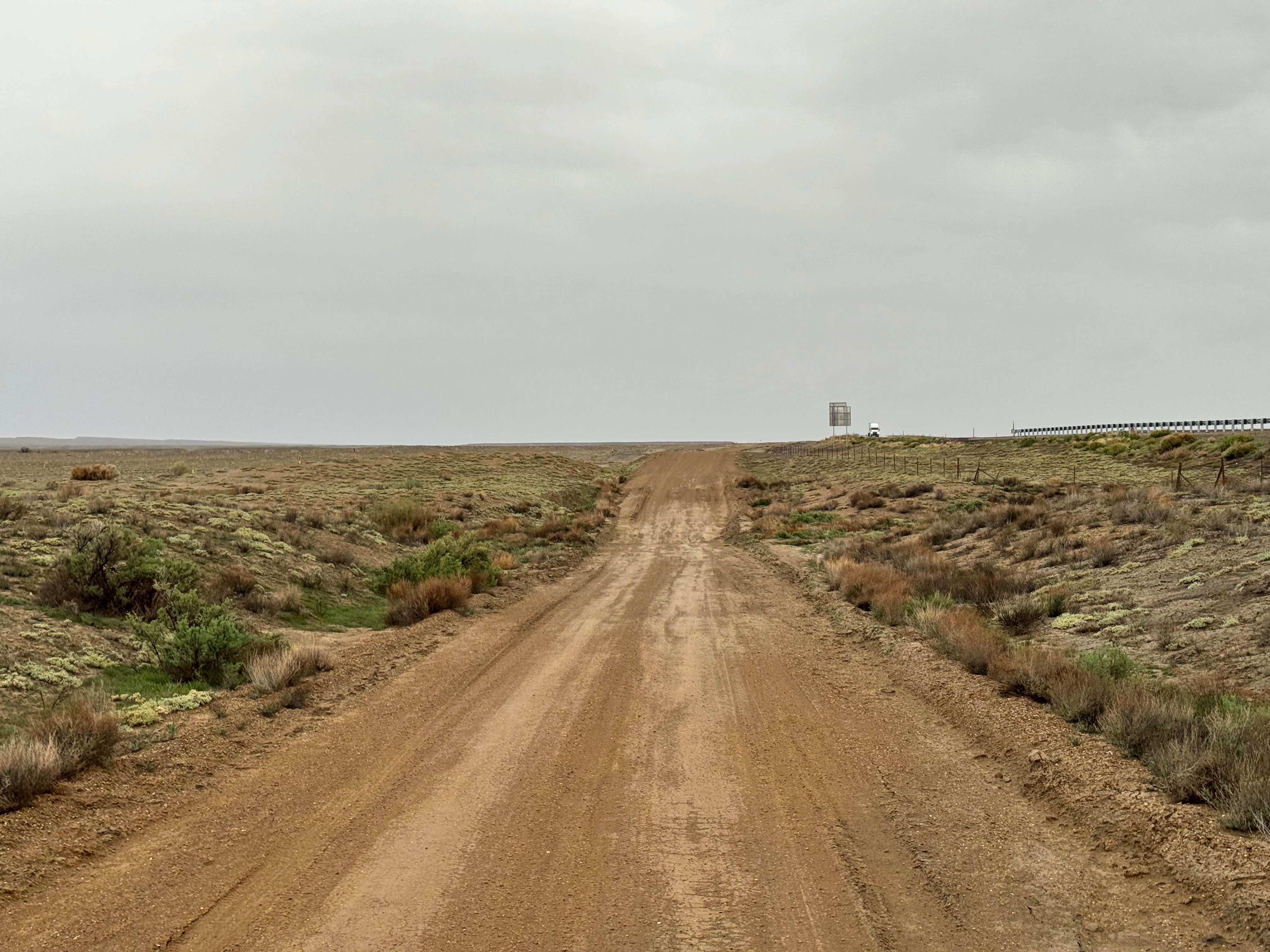
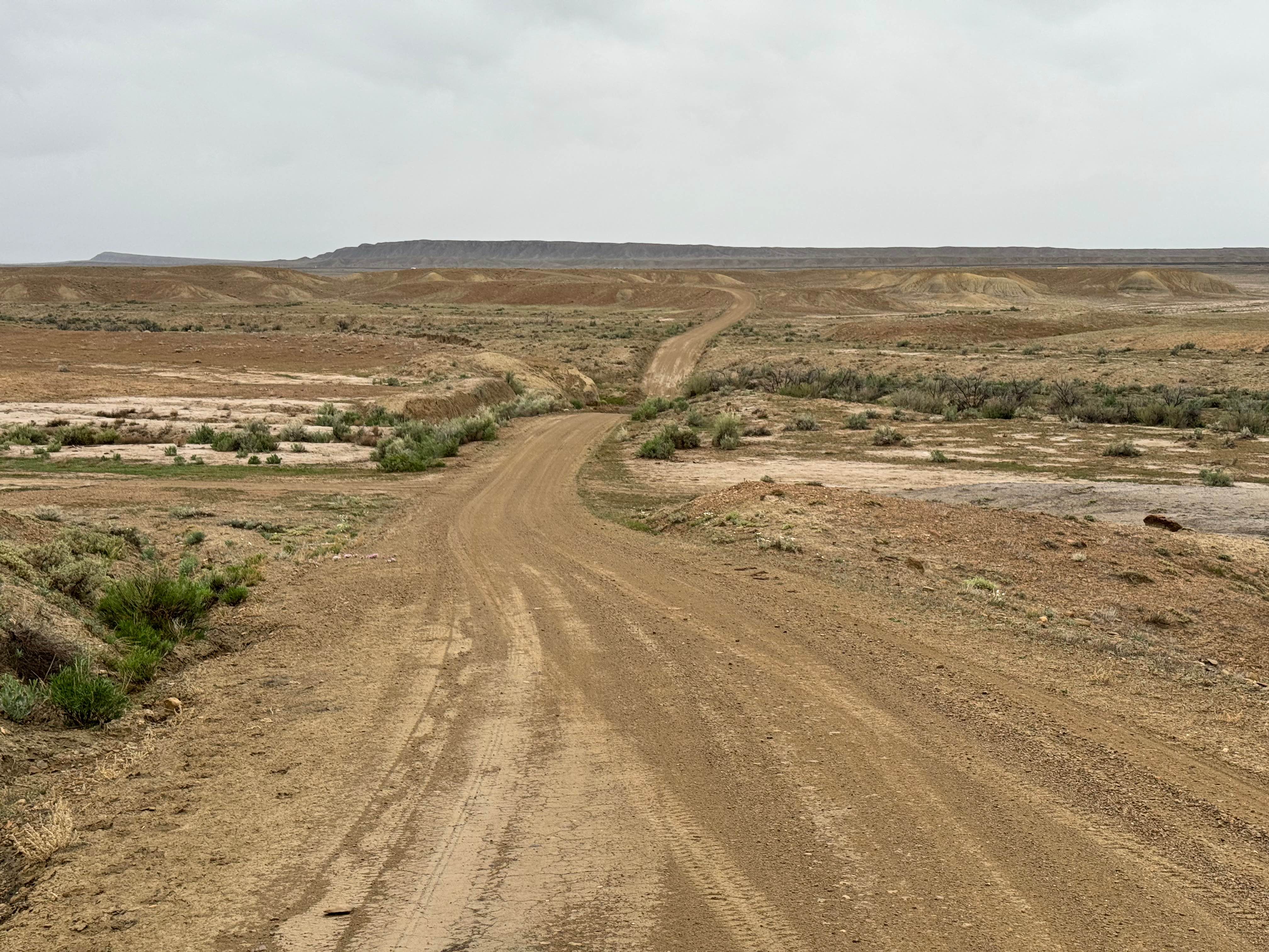
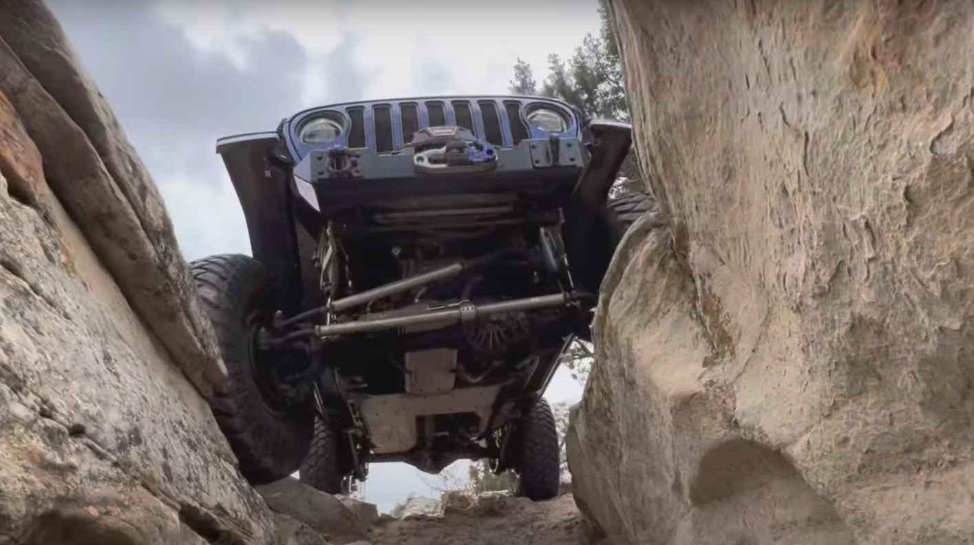
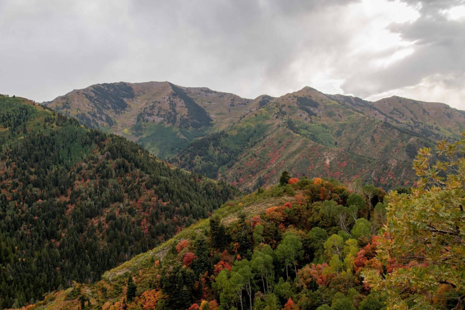
Trail Overview
Non-Resident OHV permits apply to ATVs, UTVs, and dirt bikes. Plated street-legal vehicles typically do not need one on legal motorized routes. Yellow Cat Road is one of the primary access routes through the historic Yellow Cat region and offers an easy but scenic drive packed with desert history. The route begins with a short stretch of pavement, transitions to a maintained dirt road, and ends with another paved section crossing over Interstate 70. As a designated "B" road, it is regularly maintained and generally straightforward in dry conditions. Along the way, travelers will encounter shallow washes, a few shelf road sections, and scattered mining remnants, especially within Utah State Trust land. The area played a major role during the uranium boom of the 1950s, when ore was extracted for nuclear power and weapons programs. Scenery changes dramatically as the road heads south, shifting from open plains into colorful badlands and striking rock formations in shades of white, red, and purple, with the La Sal Mountains rising in the distance. Old ruins and relics can still be spotted along the route. Limited pre-existing campsites exist nearby. Avoid travel when wet, as clay and sandy sections can become slick, clump like mud, and make steering or braking difficult. Some steep shelf road areas and washes may become impassable after rain.
Photos of Yellow Cat Road
Difficulty
Yellow Cat Road is an easy, maintained route in dry conditions with minimal obstacles, shallow washes, and a few narrow shelf road sections. Suitable for most high-clearance SUVs and 4x4s. When wet, clay and sandy sections become slick and muddy, making steering, braking, and climbing more difficult. Difficulty can increase quickly after rain.
History
The Yellow Cat region became active during the uranium boom of the 1950s, when prospectors and mining companies searched the area for ore used during the early nuclear era. Many roads in the area were improved or created to access claims, and scattered remnants of that history can still be found today.
Status Reports
Yellow Cat Road can be accessed by the following ride types:
- High-Clearance 4x4
- SUV
- SxS (60")
- ATV (50")
- Dirt Bike
Yellow Cat Road Map
Popular Trails
Salamander Flat (2150)
Doc's Beach-Vernal
Butterfield Canyon
The onX Offroad Difference
onX Offroad combines trail photos, descriptions, difficulty ratings, width restrictions, seasonality, and more in a user-friendly interface. Available on all devices, with offline access and full compatibility with CarPlay and Android Auto. Discover what you’re missing today!