Woodside
Total Miles
3.9
Technical Rating
Best Time
Spring, Fall, Winter
Trail Type
Single Track
Accessible By
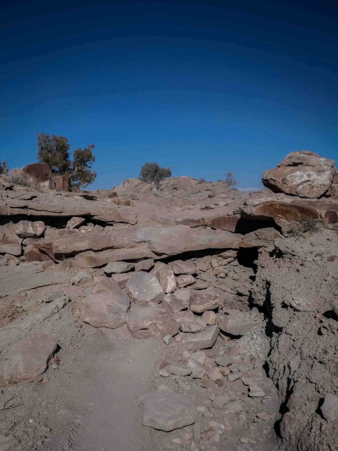
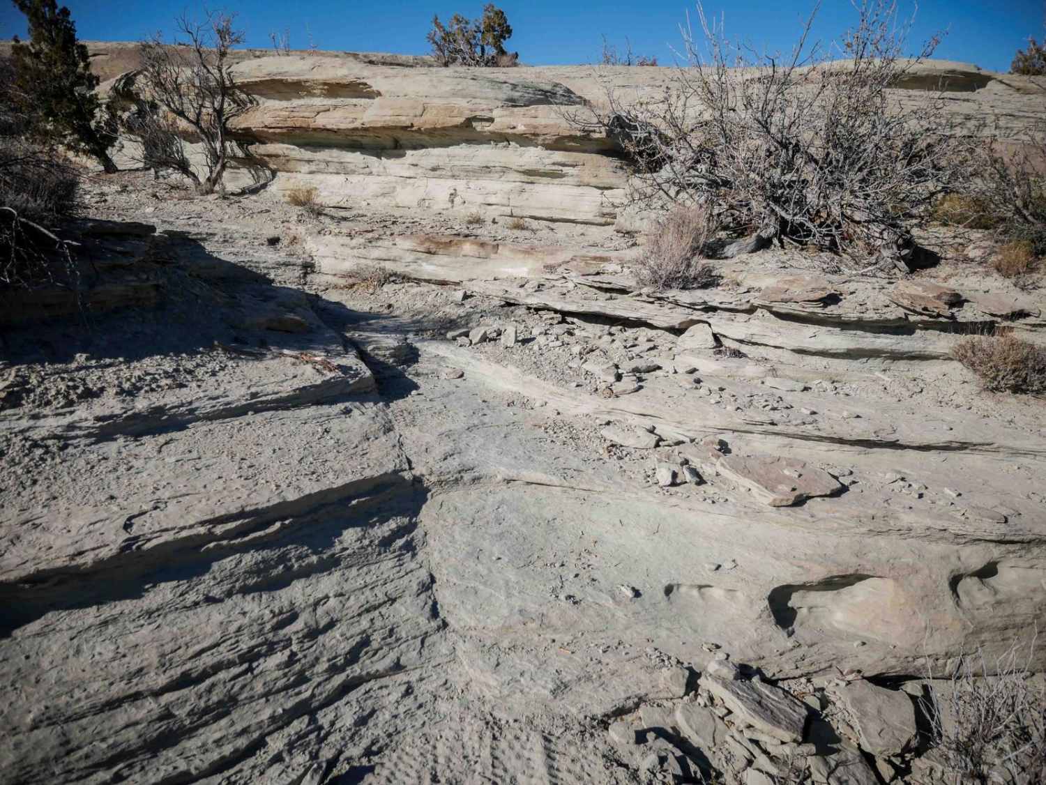
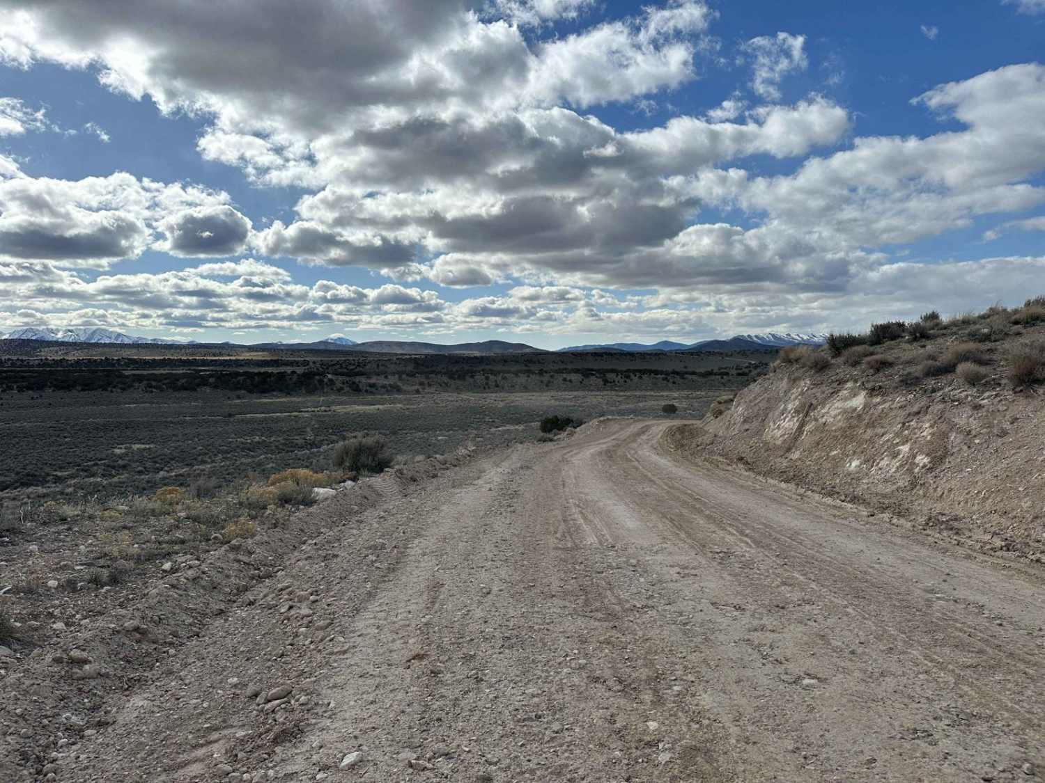
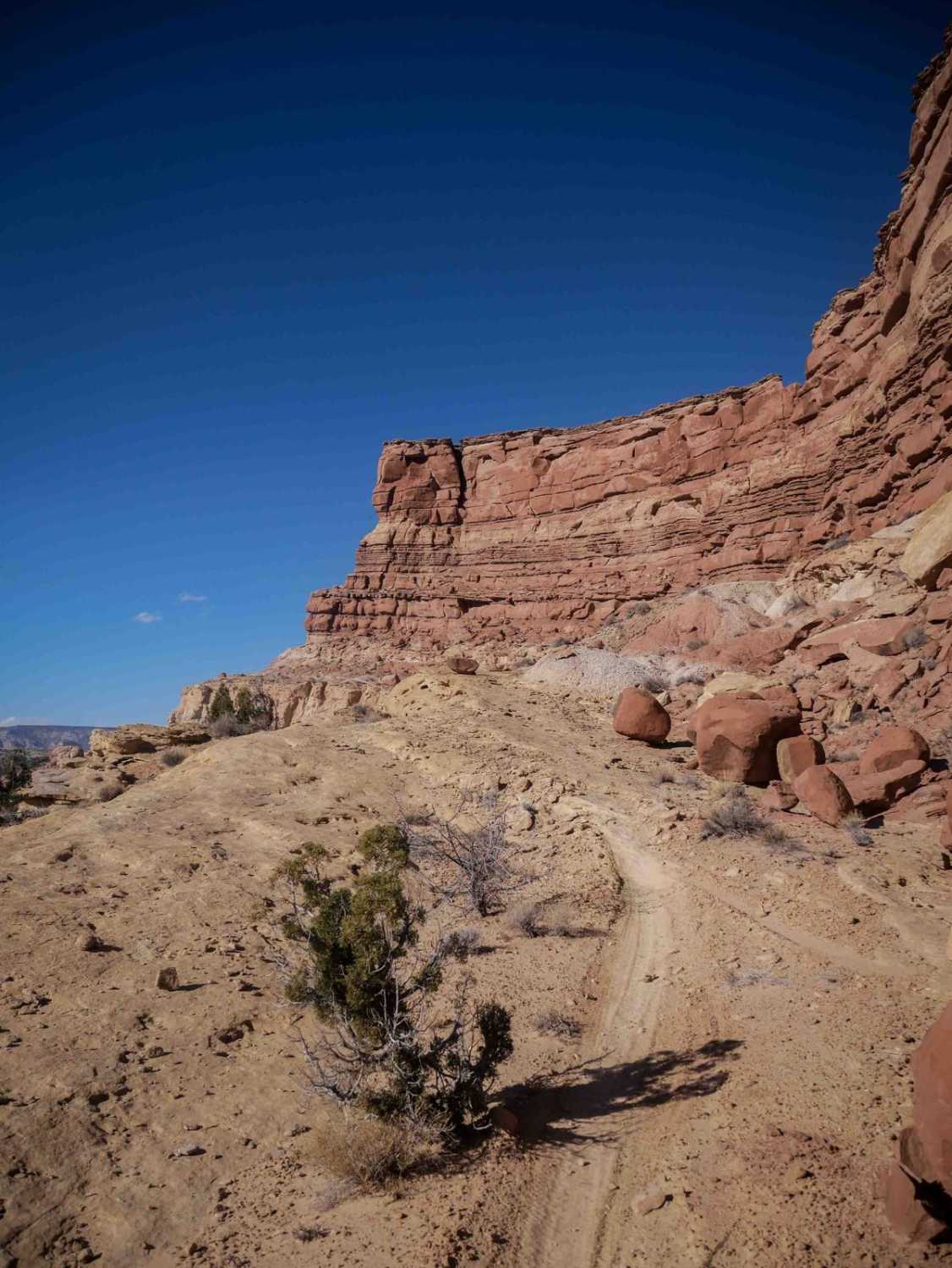
Trail Overview
This trail starts out on slickrock, then dips in and out of a rocky wash. It weaves around the base of loose rocky hills, with lots of small ledges (about a foot tall) while in the slickrock sections, plus loose hill climbs. There's a taller ledge obstacle halfway through, but it's been built up with rocks to make a ramp, so it remains moderate difficulty. You'll go down this obstacle if going east to west. There's more slickrock and sand on the south end, as the trail goes straight through a bunch of deep sand whoops on the top of a mesa. Near the south end, it goes over a huge slickrock slab, with a few more ramped rock ledges. They are a couple of feet tall, but they are super ramped, so they are not overly difficult. The south end of the trail puts you into a sandy wash near the intersection with the Summerville ATV trail.
Photos of Woodside
Difficulty
This is an intermediate trail because although it has several rock ledge obstacles, all of them are either pretty small, or really ramped, so they are not too difficult to get up or down.
Status Reports
Woodside can be accessed by the following ride types:
- Dirt Bike
Woodside Map
Popular Trails

Erz Connector
Velocity Valley Run

Lambert Many Rds 2 (FR 80920)
The onX Offroad Difference
onX Offroad combines trail photos, descriptions, difficulty ratings, width restrictions, seasonality, and more in a user-friendly interface. Available on all devices, with offline access and full compatibility with CarPlay and Android Auto. Discover what you’re missing today!