Yellow Cat Loop
Total Miles
1.7
Technical Rating
Best Time
Spring, Summer, Fall, Winter
Trail Type
Full-Width Road
Accessible By
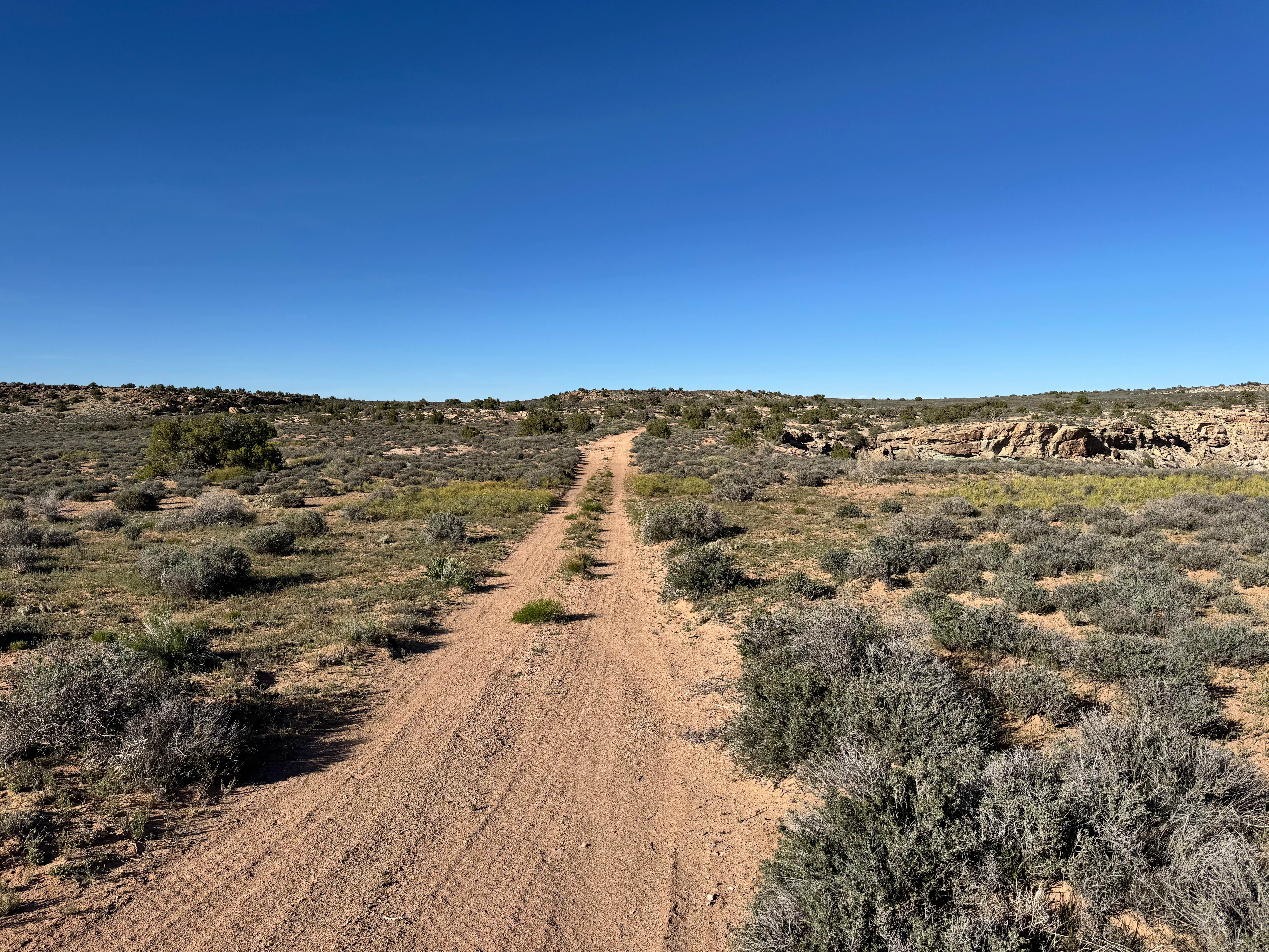
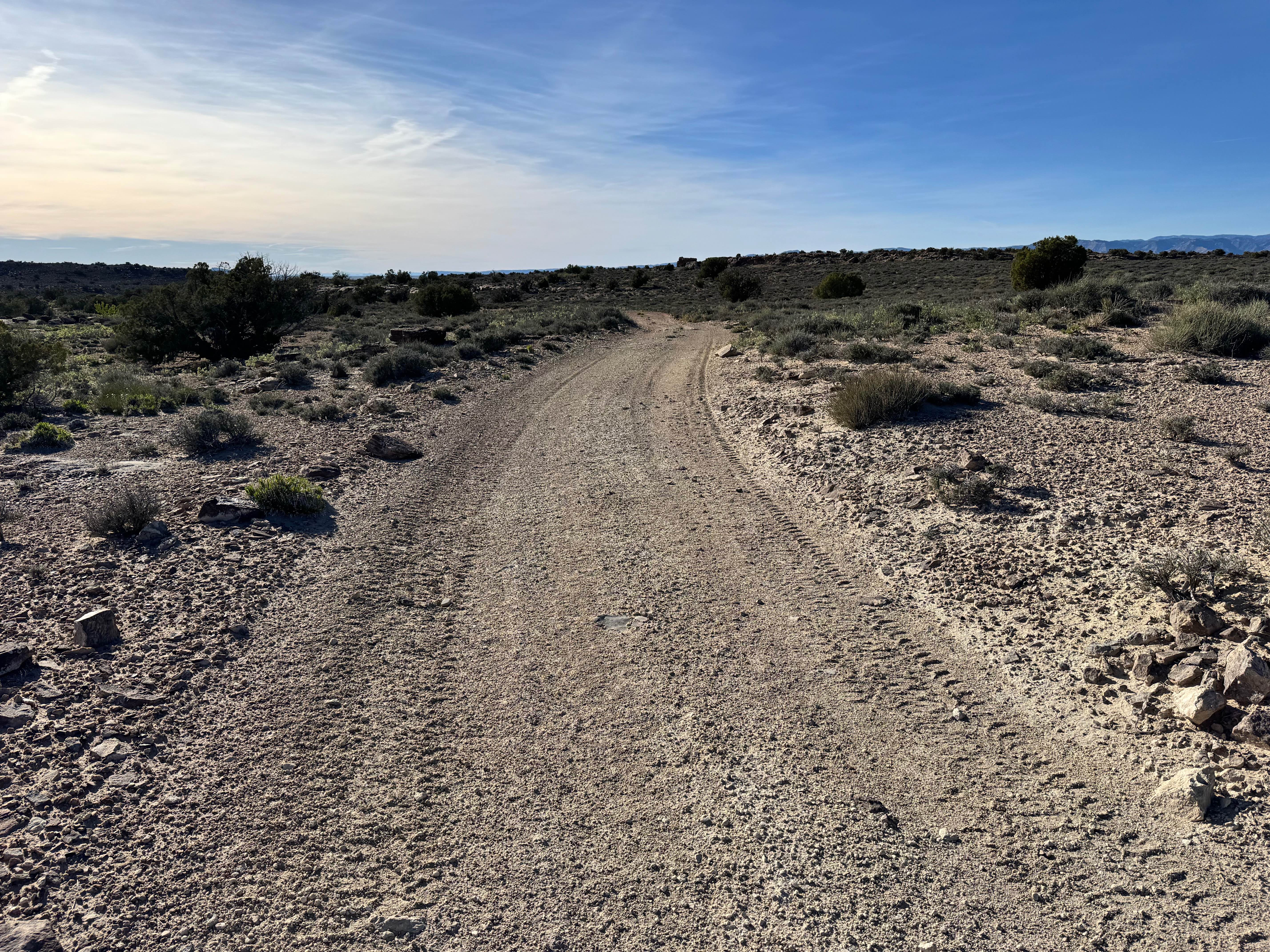
Trail Overview
Non-Resident OHV permits apply to ATVs, UTVs, and dirt bikes. Plated street-legal vehicles typically do not need one on legal motorized routes. This route circles the upper portion of the Yellow Cat area and offers a more varied drive than it first appears. Much of the trail begins as a relatively smooth sandy two-track with open desert views, making for an easy cruise across the mesa. As you continue, the terrain changes with shallow washes, eroded crossings, and sections where the road narrows between brush and low hills. Several washouts cut through the route, and some have become deeper with time, requiring slower speeds and attention to line choice. In a few areas, the trail drops into and follows natural drainage bottoms before climbing back out onto firmer ground. These sections can become much softer or more difficult after rain. Scenic highlights include wide views of the La Sal Mountains, rolling desert ridges, and long looks toward the northeastern outskirts of Moab. Overall, this is a scenic exploration route that mixes easy travel with enough erosion features to keep drivers engaged.
Photos of Yellow Cat Loop
Difficulty
Most of this route consists of sandy two-track and relatively smooth desert travel. The primary challenges come from scattered washouts, eroded crossings, and drainage sections where line choice matters more than technical skill. After rain, soft sand and muddy low spots can raise the difficulty quickly. Longer wheelbase vehicles should use caution where erosion has narrowed the trail. In dry conditions, drivers with basic off-road experience should have no major issues.
Status Reports
Yellow Cat Loop can be accessed by the following ride types:
- High-Clearance 4x4
- SUV
- SxS (60")
- ATV (50")
- Dirt Bike
Yellow Cat Loop Map
Popular Trails
Bull Rush ATV Trail

Poverty Gulch Slick Rock/Petroglyphs

Cross Border Excursion
The onX Offroad Difference
onX Offroad combines trail photos, descriptions, difficulty ratings, width restrictions, seasonality, and more in a user-friendly interface. Available on all devices, with offline access and full compatibility with CarPlay and Android Auto. Discover what you’re missing today!