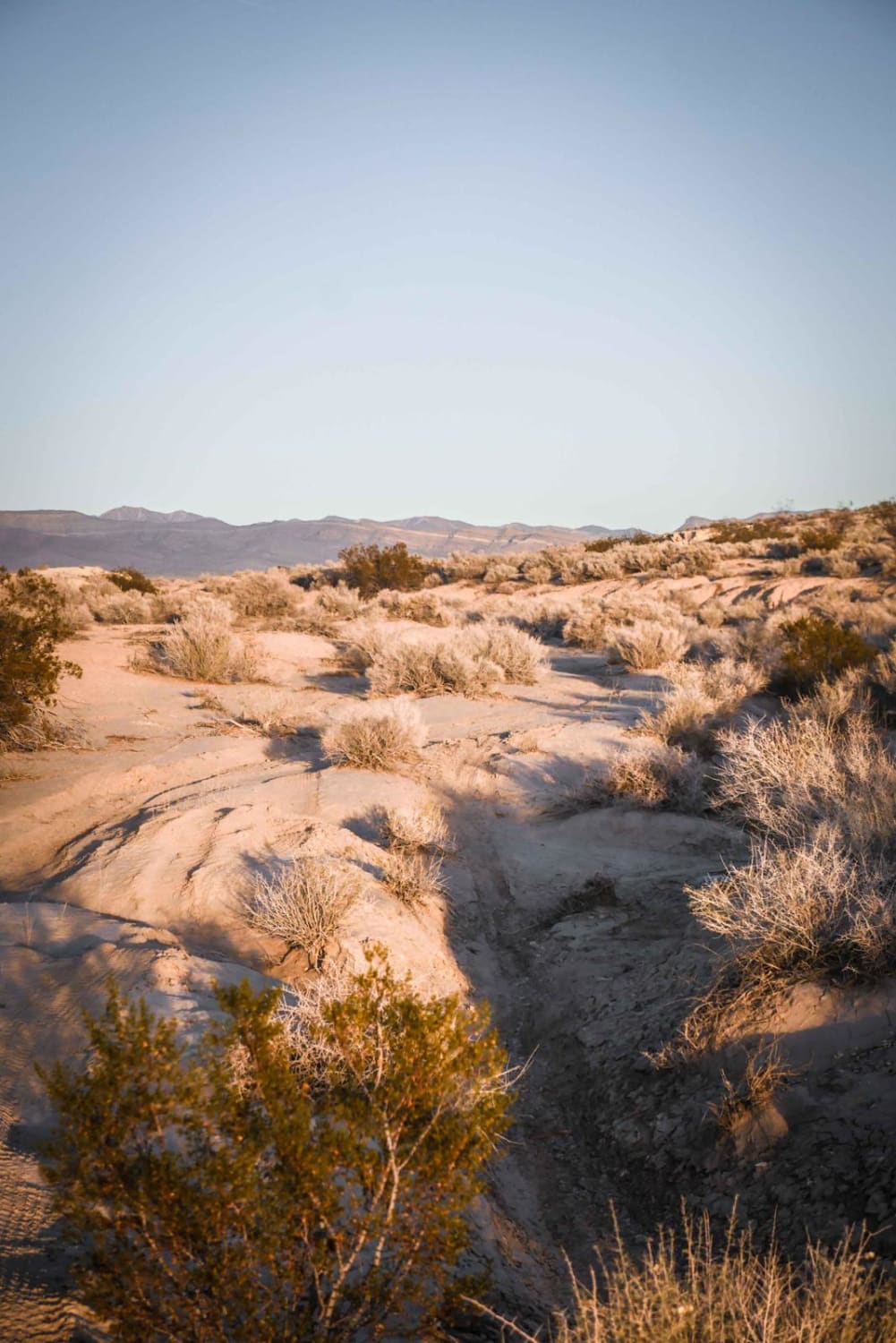
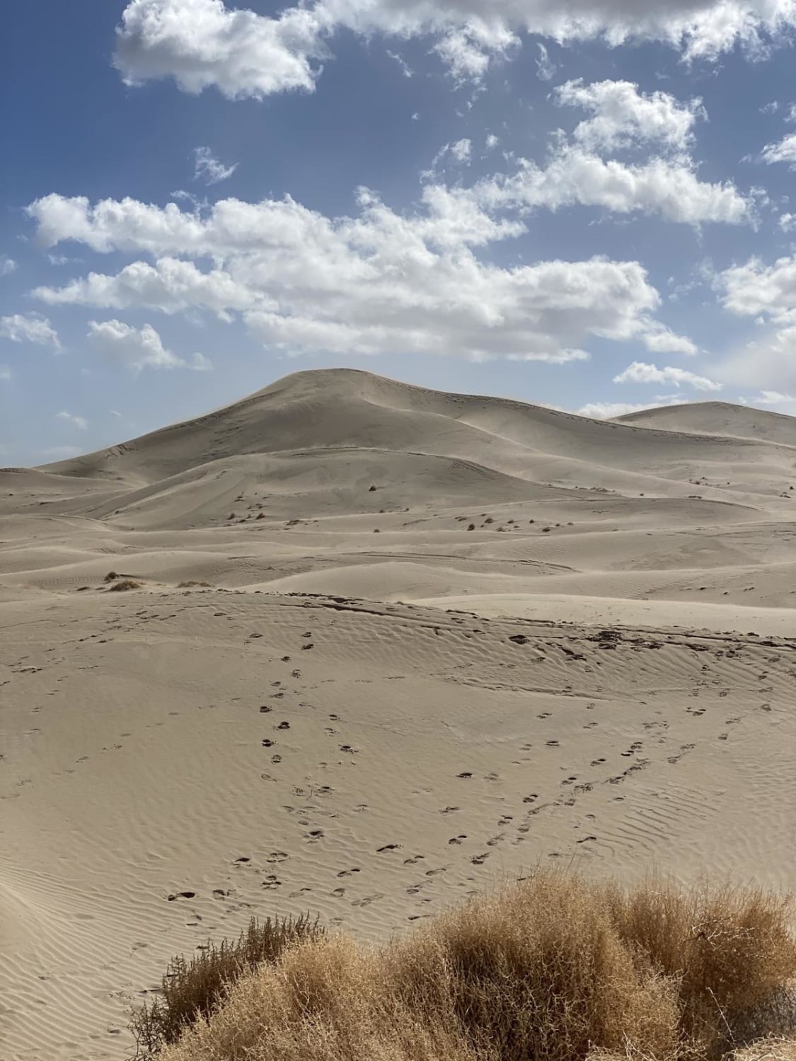
Off-Road Trails in Nevada
Discover off-road trails in Nevada
Learn more about "Just Found It" Trail
"Just Found It" Trail
Total Miles
3.4
Tech Rating
Easy
Best Time
Spring, Summer, Fall, Winter
Learn more about 13-Mile Loop
13-Mile Loop
Total Miles
17.4
Tech Rating
Easy
Best Time
Spring, Summer, Fall, Winter
Learn more about 1947 Bunker Trail
1947 Bunker Trail
Total Miles
6.5
Tech Rating
Easy
Best Time
Summer, Fall
Learn more about 265 Camping Crossover
265 Camping Crossover
Total Miles
2.3
Tech Rating
Easy
Best Time
Fall, Spring, Winter
Learn more about 552 Mining Entry Road 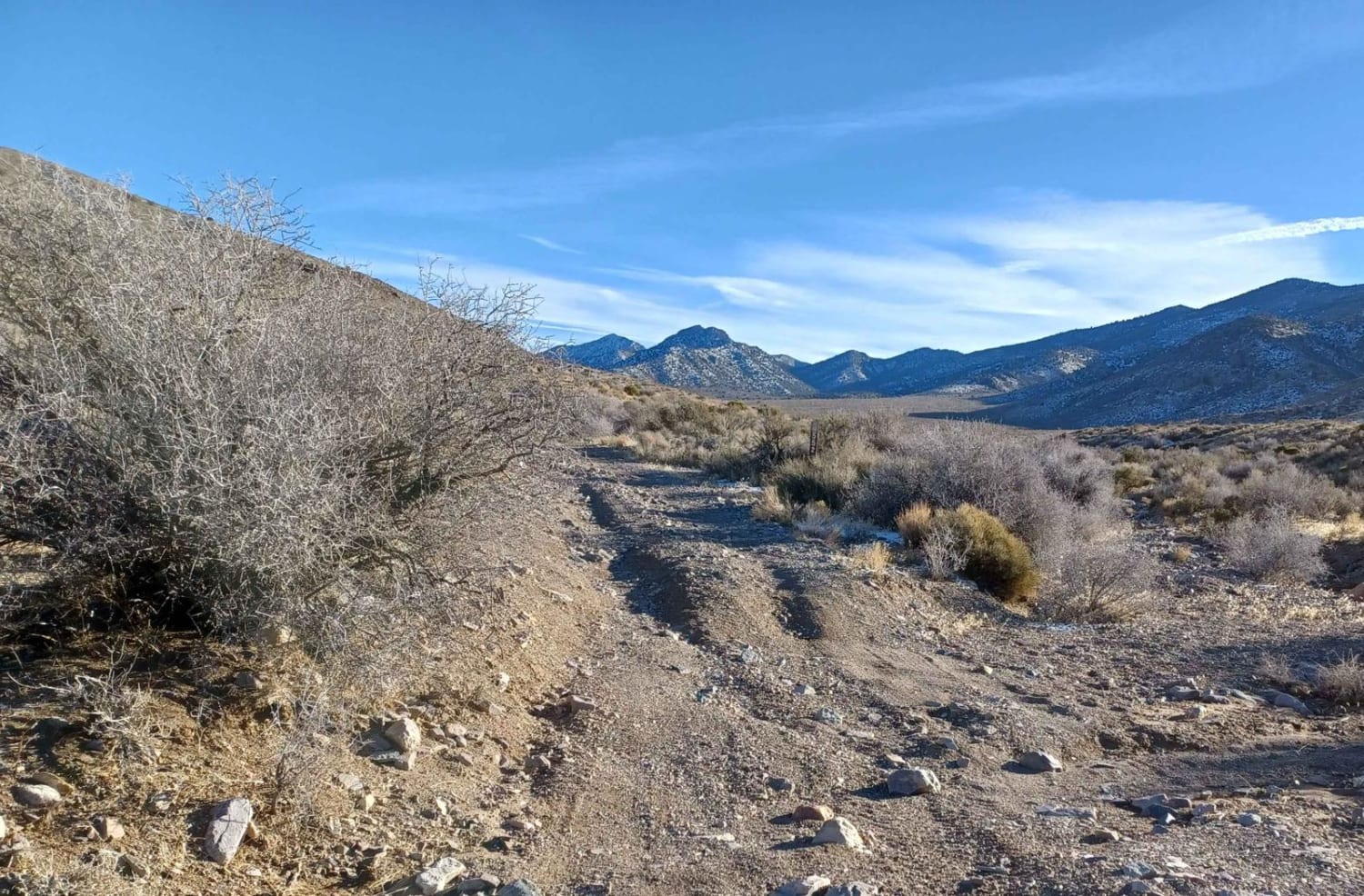
552 Mining Entry Road
Total Miles
8.8
Tech Rating
Easy
Best Time
Spring, Summer, Fall
Learn more about 7 Troughs Range
7 Troughs Range
Total Miles
136.6
Tech Rating
Moderate
Best Time
Spring, Summer, Fall, Winter
Learn more about A Mine Runs Through It
A Mine Runs Through It
Total Miles
4.8
Tech Rating
Easy
Best Time
Spring, Summer, Fall, Winter
Learn more about A Mountain - FS 43240
A Mountain - FS 43240
Total Miles
1.0
Tech Rating
Easy
Best Time
Spring, Summer, Fall
Learn more about Acoma-FR30017
Acoma-FR30017
Total Miles
9.7
Tech Rating
Easy
Best Time
Spring, Summer, Fall, Winter
Learn more about Adams McGill Reservoir Crossover Road
Adams McGill Reservoir Crossover Road
Total Miles
6.7
Tech Rating
Easy
Best Time
Spring, Summer, Fall, Winter
Learn more about Adams McGill Reservoir Loop Part 2
Adams McGill Reservoir Loop Part 2
Total Miles
4.8
Tech Rating
Easy
Best Time
Spring, Fall, Summer
Learn more about Adams McGill Reservoir Scenic Drive
Adams McGill Reservoir Scenic Drive
Total Miles
6.7
Tech Rating
Easy
Best Time
Spring, Summer, Fall, Winter
Learn more about Adams McGill Reservoir Scenic Loop Part 3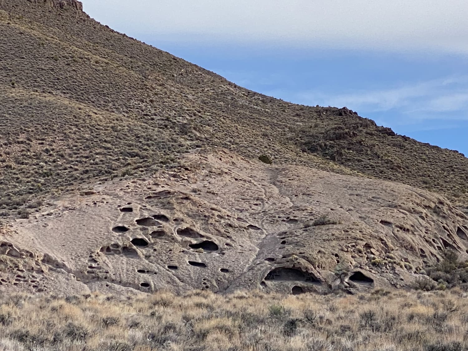
Adams McGill Reservoir Scenic Loop Part 3
Total Miles
6.0
Tech Rating
Easy
Best Time
Summer, Spring, Fall
Learn more about Adobe Heights Bypass 
Adobe Heights Bypass
Total Miles
3.2
Tech Rating
Easy
Best Time
Spring, Summer, Fall
Learn more about Adobe Valley to Little Huntoon Valley
Adobe Valley to Little Huntoon Valley
Total Miles
35.3
Tech Rating
Moderate
Best Time
Summer, Fall
Learn more about Adventure Through the Hills to West Valley
Adventure Through the Hills to West Valley
Total Miles
5.0
Tech Rating
Moderate
Best Time
Fall, Summer, Spring
ATV trails in Nevada
Learn more about Cottonwood Canyon
Cottonwood Canyon
Total Miles
2.9
Tech Rating
Easy
Best Time
Spring, Fall
Learn more about Cottonwood Pass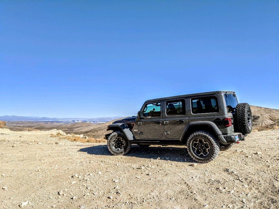
Cottonwood Pass
Total Miles
11.1
Tech Rating
Easy
Best Time
Spring, Summer, Fall, Winter
Learn more about County Road 34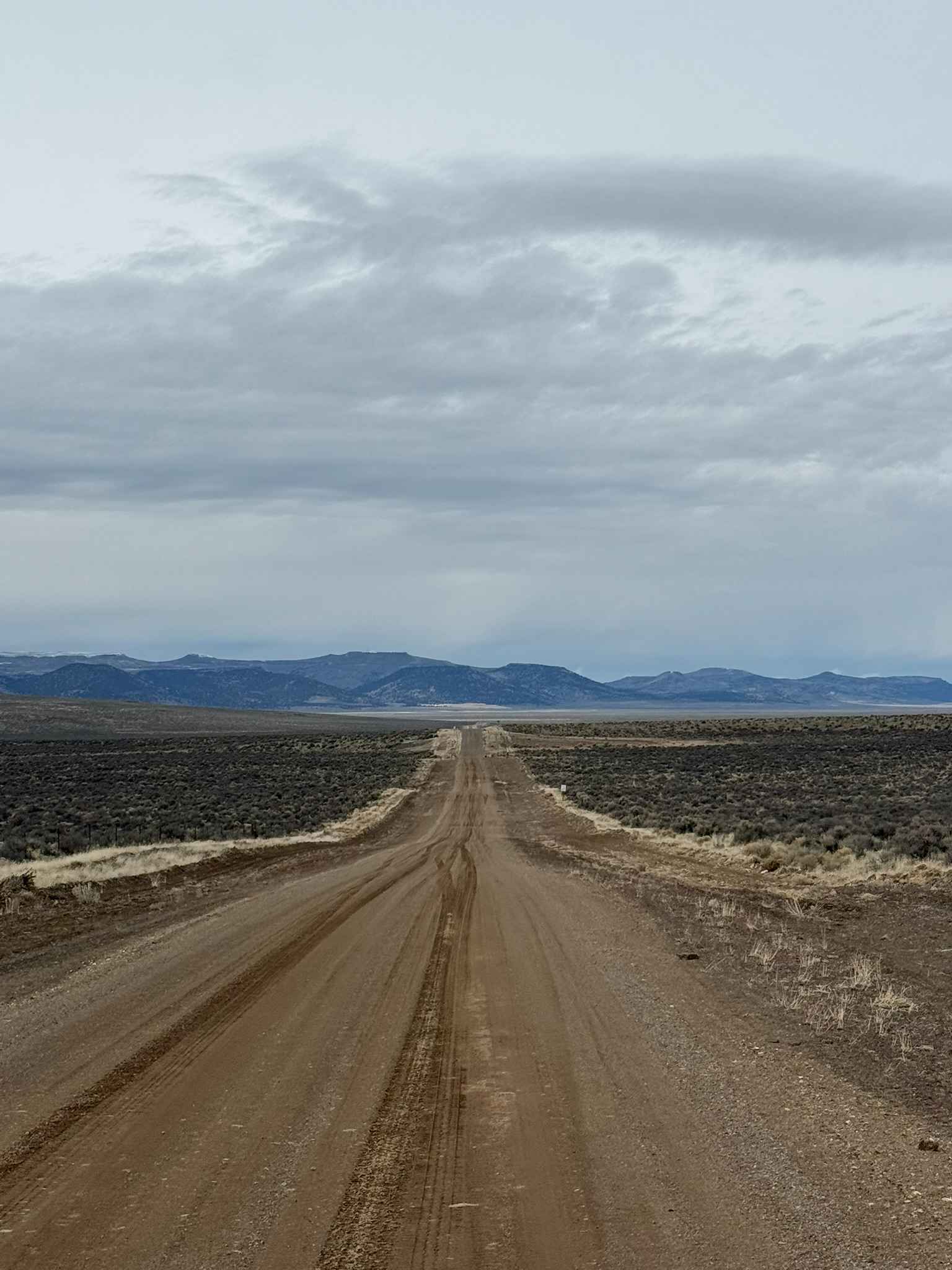
County Road 34
Total Miles
41.6
Tech Rating
Easy
Best Time
Spring, Summer, Fall
UTV/side-by-side trails in Nevada
Learn more about "Just Found It" Trail
"Just Found It" Trail
Total Miles
3.4
Tech Rating
Easy
Best Time
Spring, Summer, Fall, Winter
Learn more about 13-Mile Loop
13-Mile Loop
Total Miles
17.4
Tech Rating
Easy
Best Time
Spring, Summer, Fall, Winter
Learn more about 1947 Bunker Trail
1947 Bunker Trail
Total Miles
6.5
Tech Rating
Easy
Best Time
Summer, Fall
Learn more about 265 Camping Crossover
265 Camping Crossover
Total Miles
2.3
Tech Rating
Easy
Best Time
Fall, Spring, Winter
The onX Offroad Difference
onX Offroad combines trail photos, descriptions, difficulty ratings, width restrictions, seasonality, and more in a user-friendly interface. Available on all devices, with offline access and full compatibility with CarPlay and Android Auto. Discover what you’re missing today!