Adams McGill Reservoir Crossover Road
Total Miles
6.7
Technical Rating
Best Time
Spring, Summer, Fall, Winter
Trail Type
Full-Width Road
Accessible By
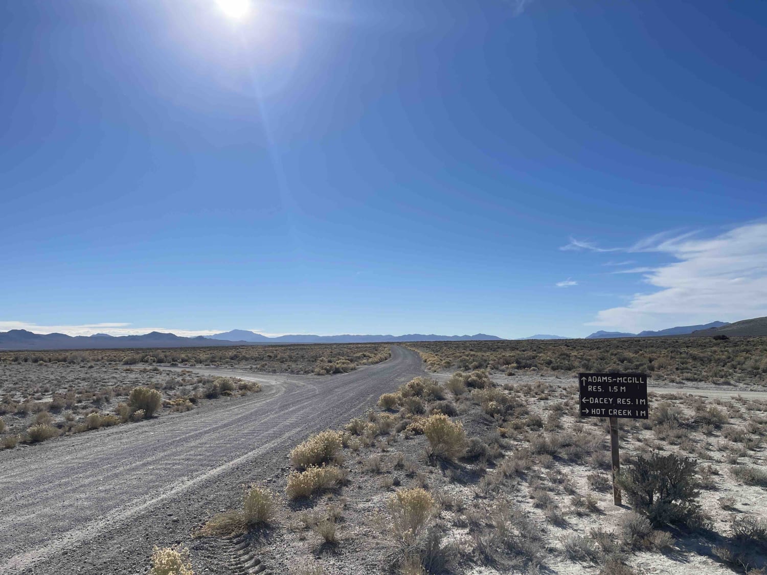
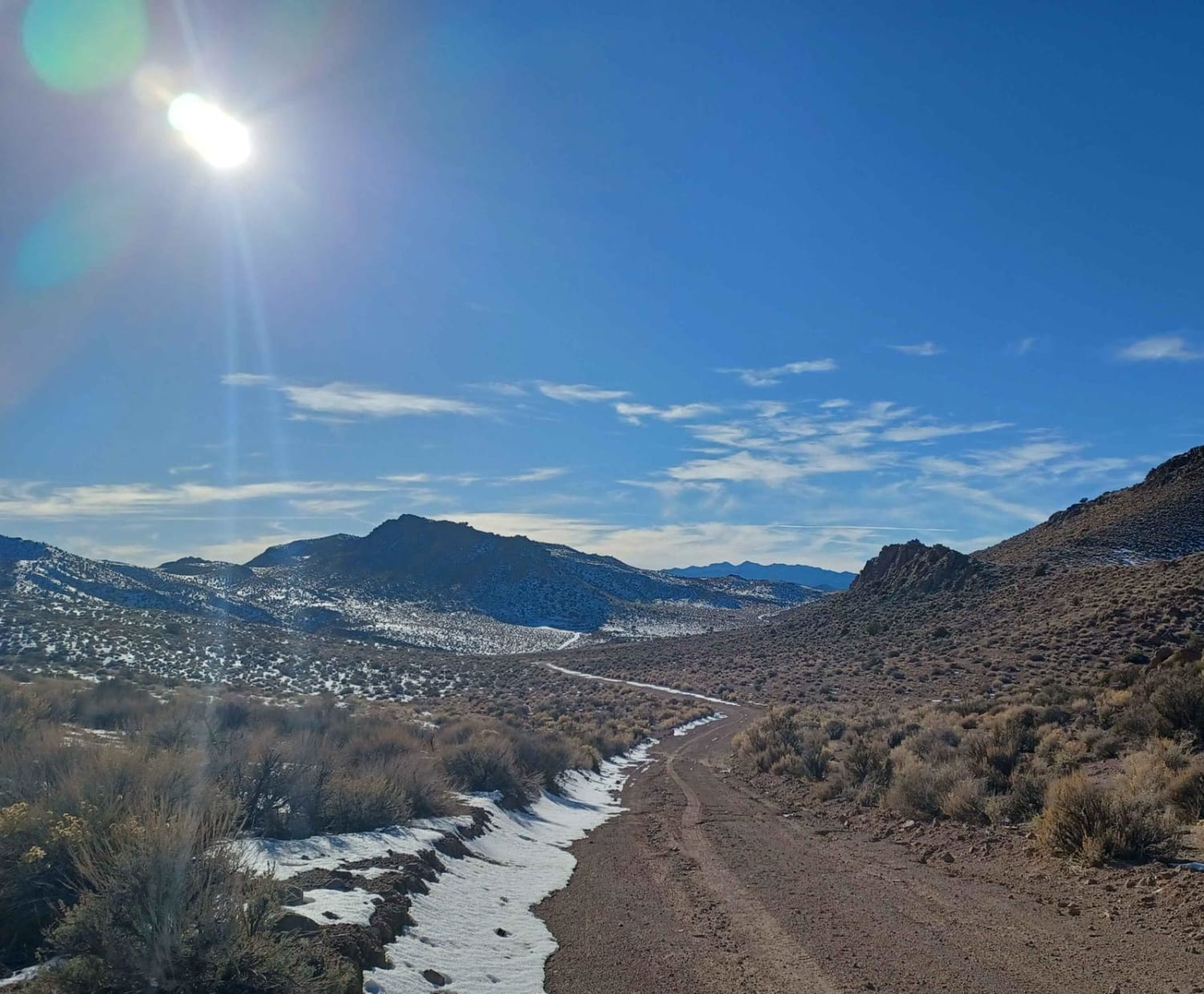
Trail Overview
An easy two-lane washboard road to cross the reservoir. There is a nice established campground on the west side and access to highway 318 to the east. There are some clear dispersed camping trails outside of the wildlife refuges on the many trails in the area that crisscross the BLM land. There appears to be fishing and boating available on the reservoir, with plenty of bird watching in the area. 3 bars LTE service and amazing views of the surrounding mountains
Photos of Adams McGill Reservoir Crossover Road

Difficulty
Easily accessible, RV's were on this road.
Status Reports
Adams McGill Reservoir Crossover Road can be accessed by the following ride types:
- High-Clearance 4x4
- SUV
- SxS (60")
- ATV (50")
- Dirt Bike
Adams McGill Reservoir Crossover Road Map
Popular Trails

Fenway Road - 36

Parker Canyon
Black Horse
Kirks Grotto
The onX Offroad Difference
onX Offroad combines trail photos, descriptions, difficulty ratings, width restrictions, seasonality, and more in a user-friendly interface. Available on all devices, with offline access and full compatibility with CarPlay and Android Auto. Discover what you’re missing today!