Hot Springs Mountains Senic Trail
Total Miles
8.2
Technical Rating
Best Time
Spring, Summer, Fall, Winter
Trail Type
Full-Width Road
Accessible By
Trail Overview
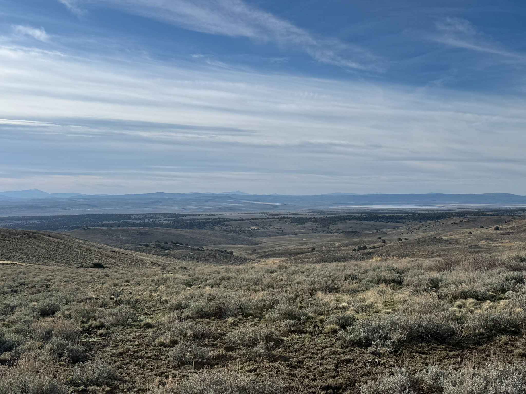
This trail leads you to panoramic views of the Carson Valley and the Sierra Front. I prefer to start at the Johnson Lane Staging Area and travel North, but either direction is okay. The trail has a few challenges. You will encounter soft sand and loose rocks on some of the steep climbs, so have appropriate tires on your rig and air down. It is passable in the winter if there is no snow. Because it is mostly rock and sand, the winter mud is not often an obstacle. This is a great trail to take your lunch and enjoy the view, or a sunset/twilight ride.
Photos of Hot Springs Mountains Senic Trail
Difficulty
I created this track with my SxS but have also ridden it in my Jeep Grand Cherokee, which is nothing special. In the drier months the soft sand climbs can be an issue for the larger, heavier vehicles. Momentum helps!
History
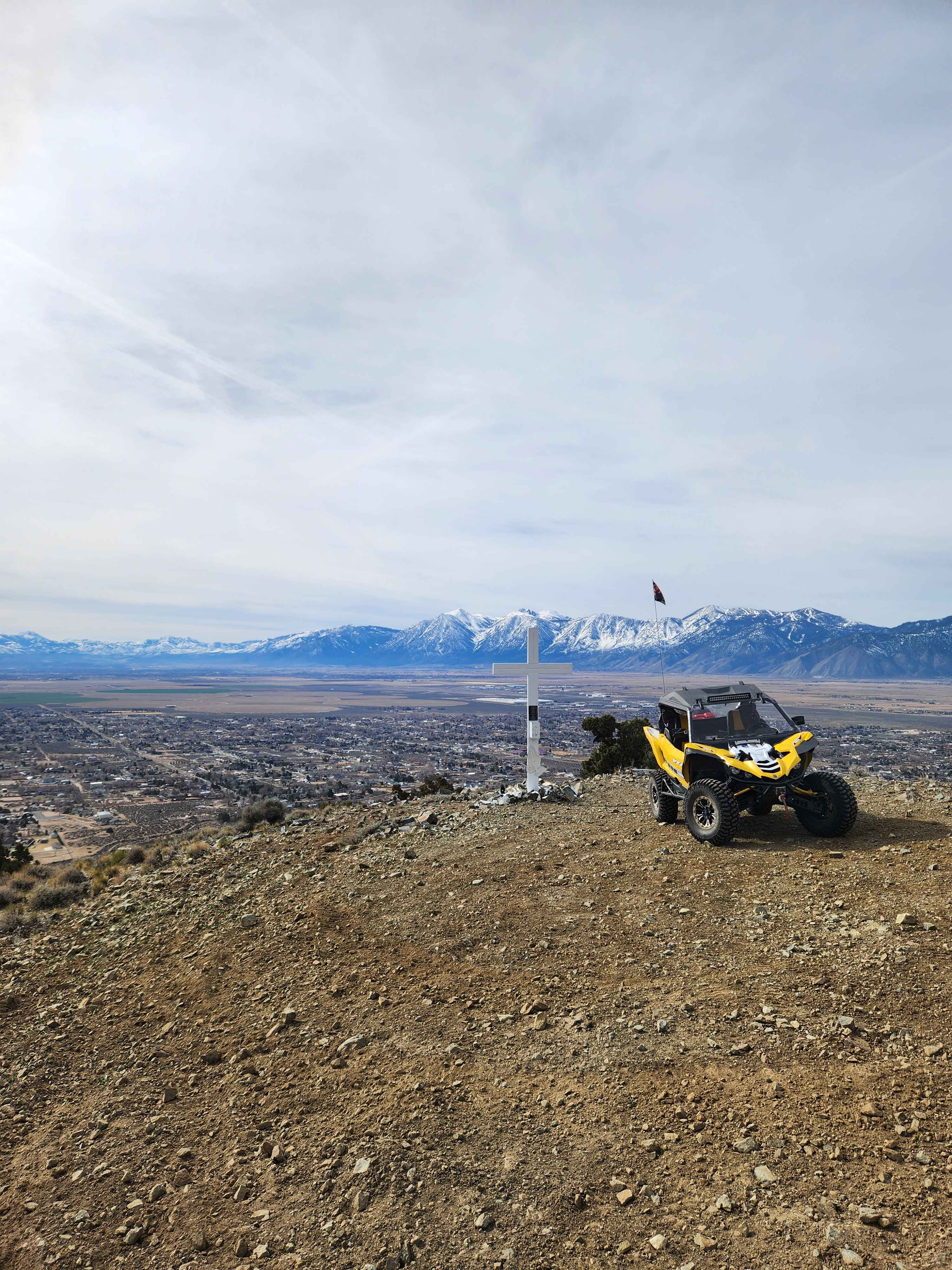
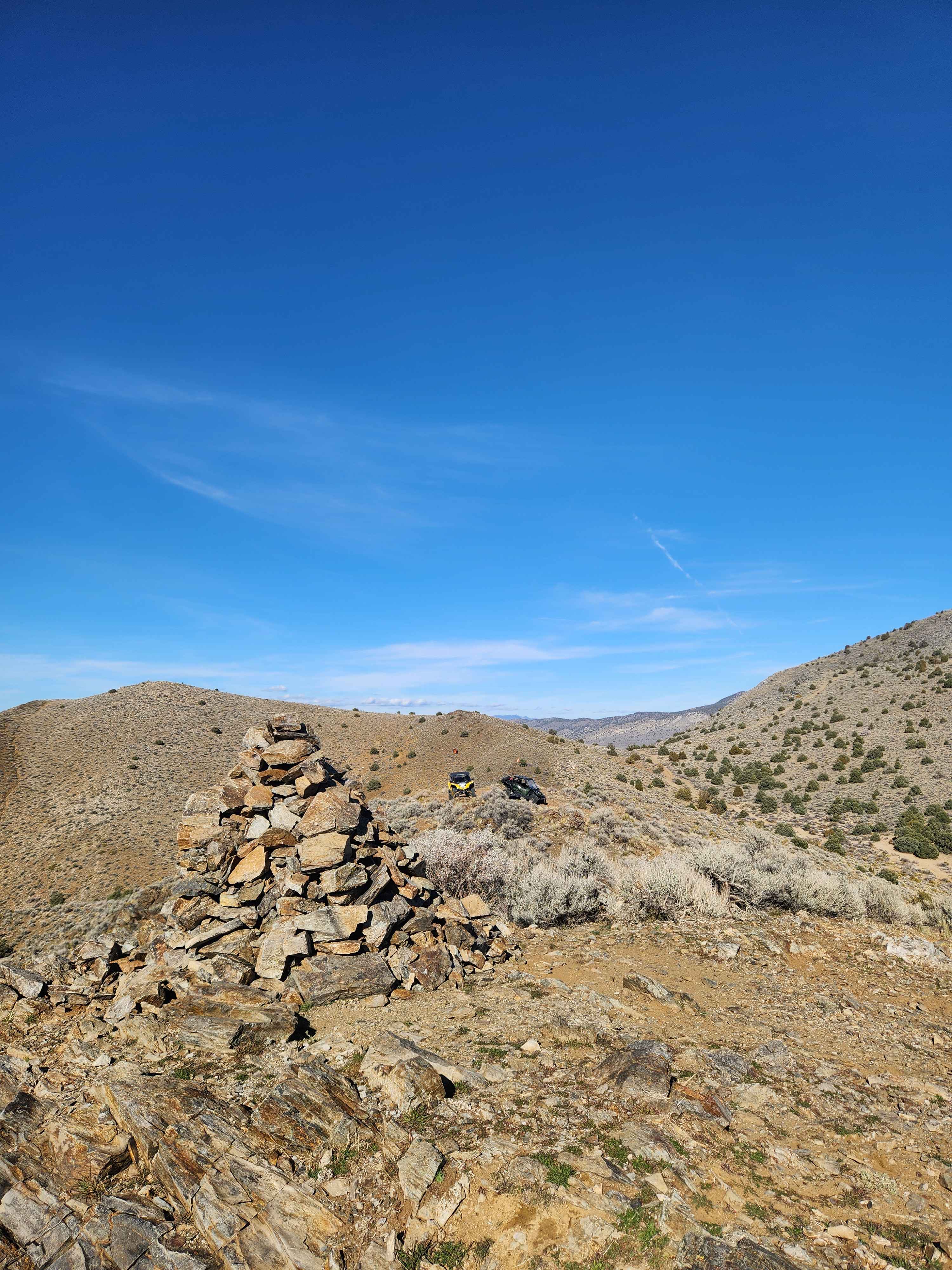
At the Southeast viewing area, there is a cross and a memorial plaque pertaining to a local event. At the Southwest viewing area is a "stoneboy" that has been erected by locals. It is one of four stoneboys in the Hot Springs Mountains. Word is, the Hot Springs no longer exist. I've never found them.
Status Reports
Hot Springs Mountains Senic Trail can be accessed by the following ride types:
- High-Clearance 4x4
- SUV
- SxS (60")
- ATV (50")
- Dirt Bike
Hot Springs Mountains Senic Trail Map
Popular Trails

Nelson ATV Trail
East Summit Loop
Sheldon Wildlife Refuge & Yellow Peak

Little High Rock to Steven's Camp Back Door
The onX Offroad Difference
onX Offroad combines trail photos, descriptions, difficulty ratings, width restrictions, seasonality, and more in a user-friendly interface. Available on all devices, with offline access and full compatibility with CarPlay and Android Auto. Discover what you’re missing today!