552 Mining Entry Road
Total Miles
8.8
Technical Rating
Best Time
Spring, Summer, Fall
Trail Type
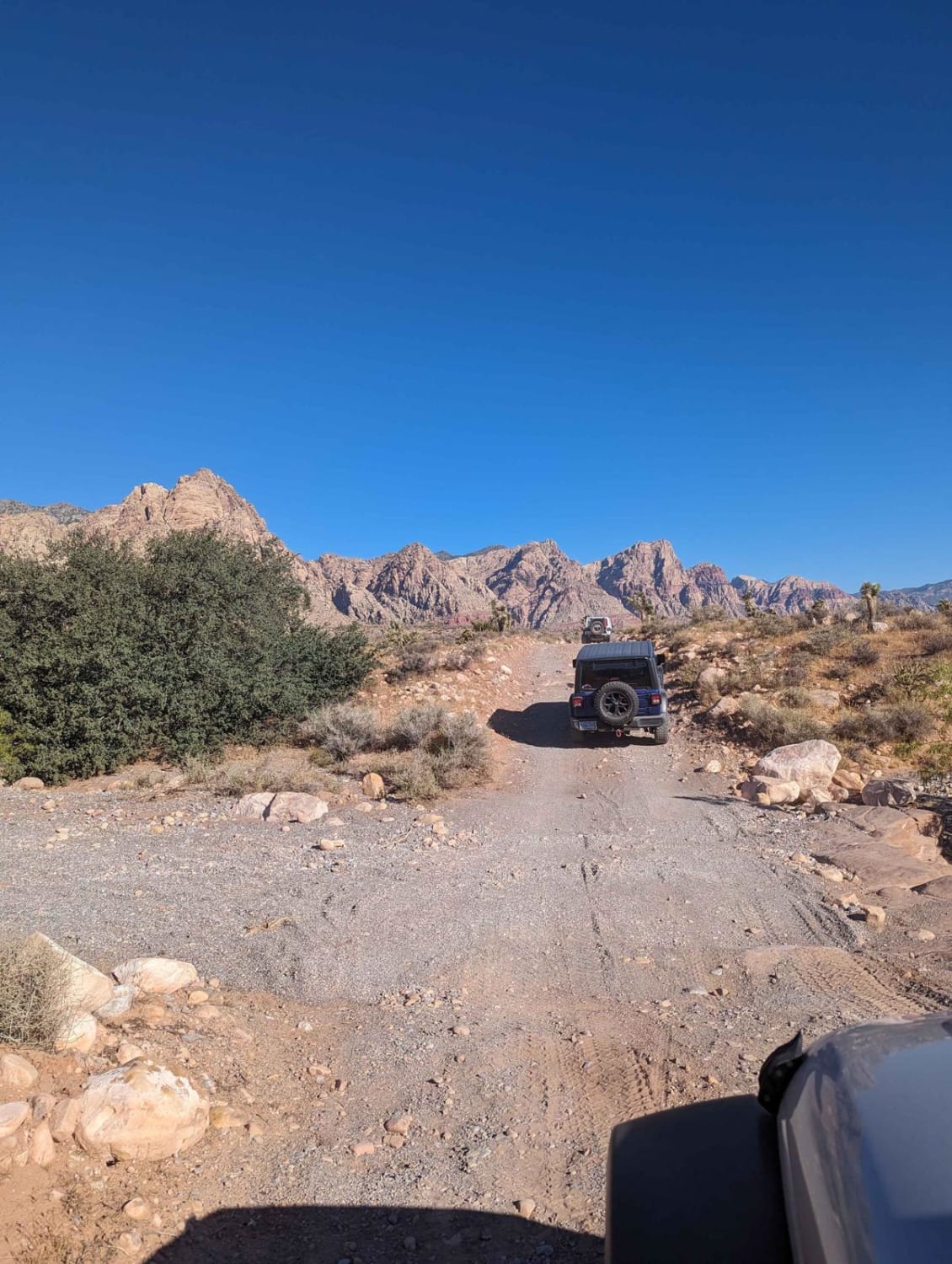
Full-Width Road
Accessible By
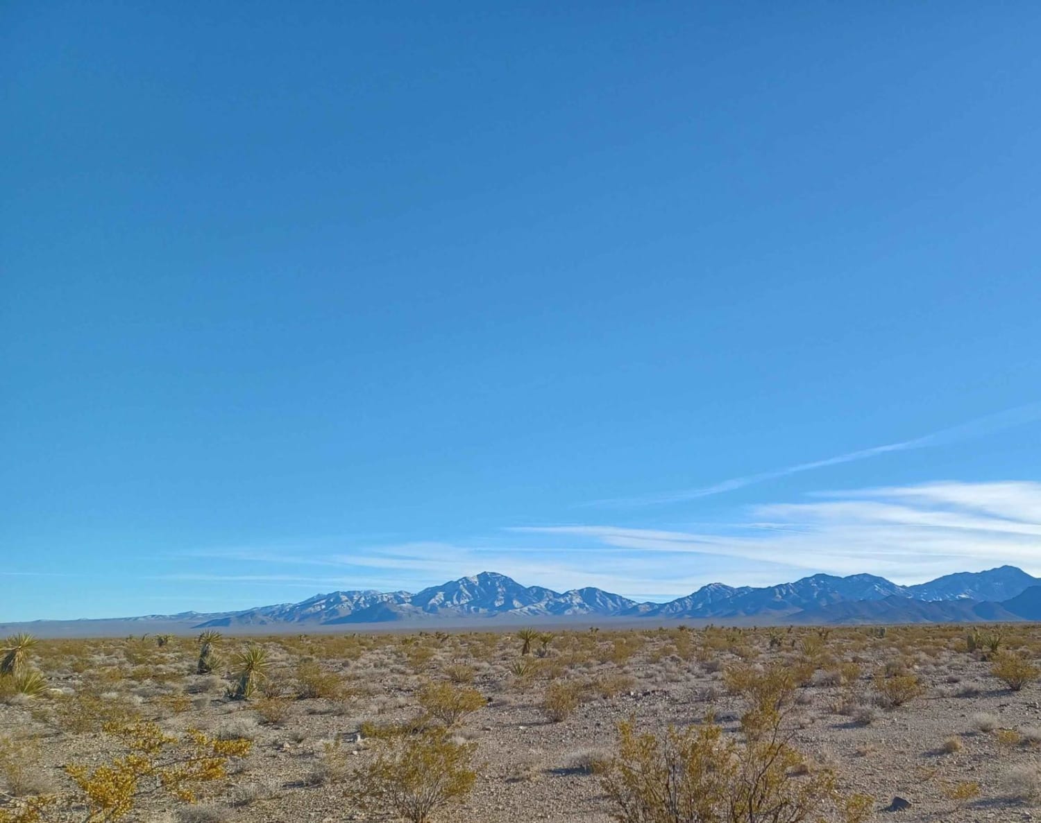
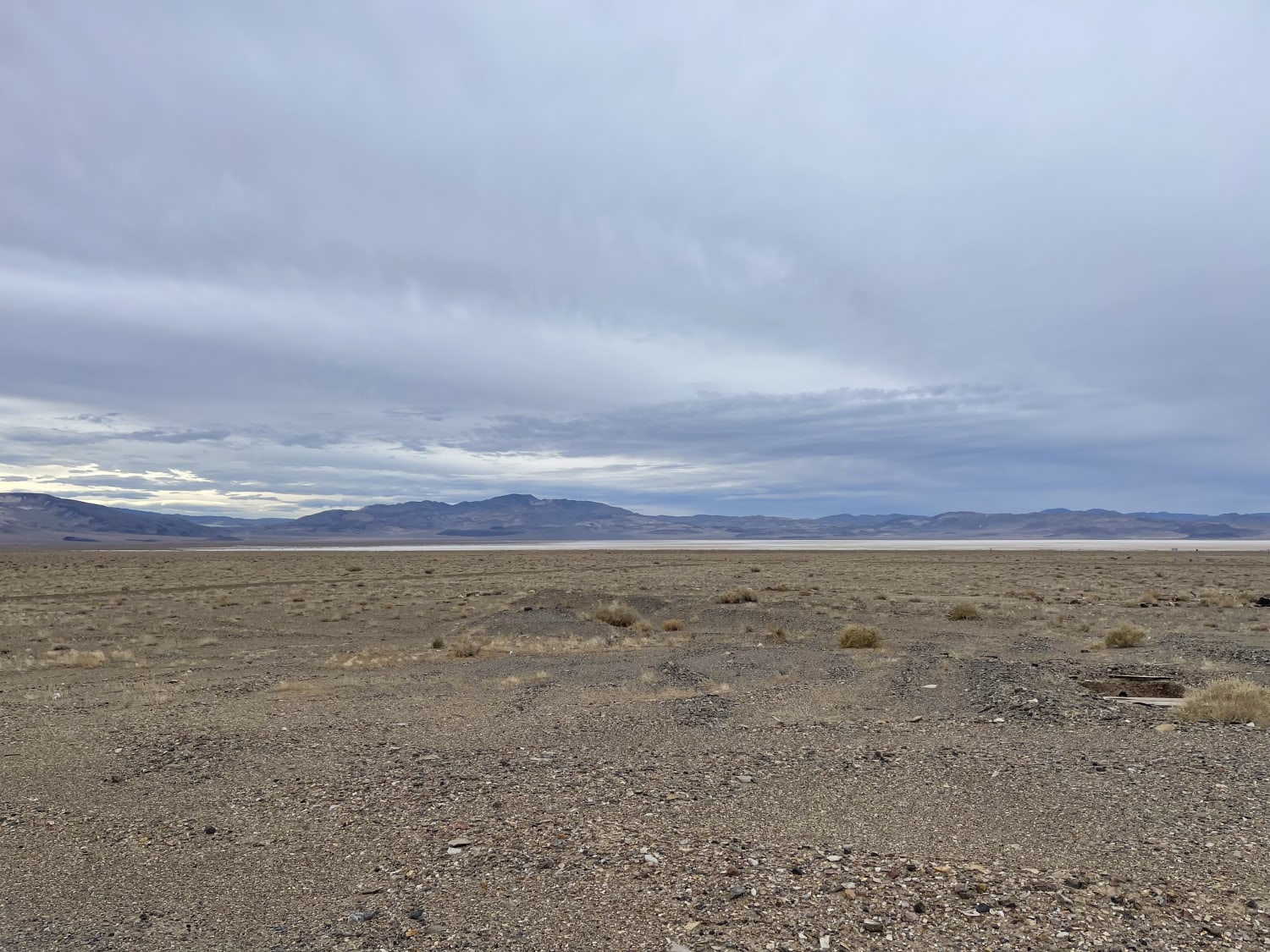
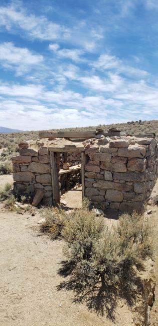
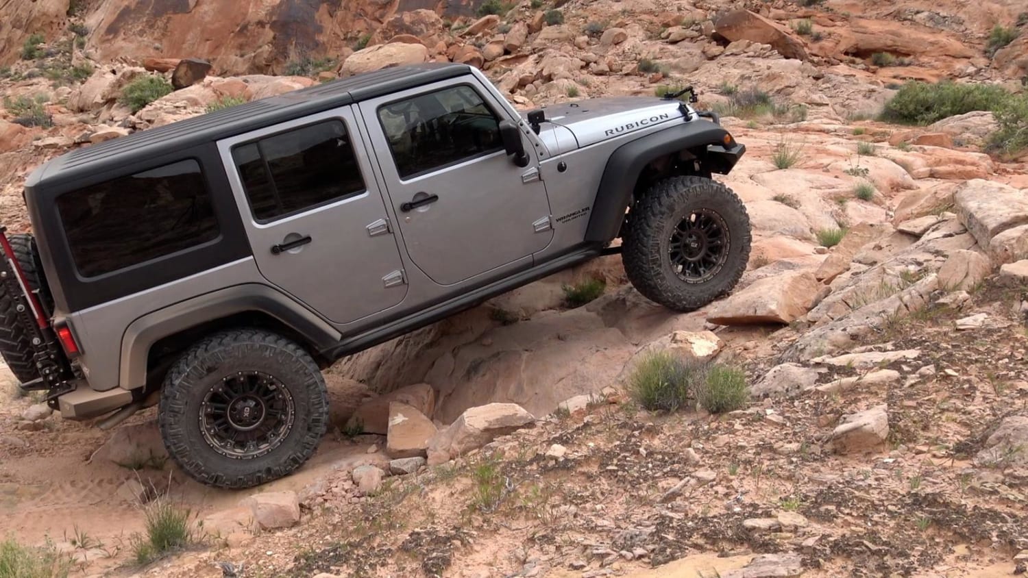
Trail Overview
552 Mining Entry Road drives through the Humboldt-Toiyabe National Forest and Bureau of Land Management Government Lands, it is a easy gravel road with sections of loose rock, and spots that have been washed out a 4x4 vechile is recommended. This area can have possible floods, there is a camp spot at the very top in the round about, but its a small area big enough for one or two cars.
Photos of 552 Mining Entry Road
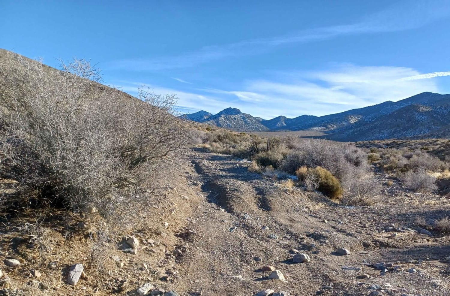
Difficulty
Watch for loose rock in spots, with some washouts.
Status Reports
552 Mining Entry Road can be accessed by the following ride types:
- High-Clearance 4x4
- SUV
- SxS (60")
- ATV (50")
- Dirt Bike
552 Mining Entry Road Map
Popular Trails
The Burned Out Ghost Town of Coalville to Emigrant Pass Road
Bodie High Desert Highway
Matterhorn Trail
Black Velvet Road
The onX Offroad Difference
onX Offroad combines trail photos, descriptions, difficulty ratings, width restrictions, seasonality, and more in a user-friendly interface. Available on all devices, with offline access and full compatibility with CarPlay and Android Auto. Discover what you’re missing today!