Off-Road Trails in Missouri
Discover off-road trails in Missouri


Learn more about 4 of 5
4 of 5
Total Miles
0.0
Tech Rating
Difficult
Best Time
Spring, Summer, Fall, Winter
Learn more about Akers Alley - SCR 308
Akers Alley - SCR 308
Total Miles
4.2
Tech Rating
Moderate
Best Time
Spring, Summer, Fall, Winter
Learn more about Aldrich Cemetery - CCR 205
Aldrich Cemetery - CCR 205
Total Miles
4.2
Tech Rating
Easy
Best Time
Spring, Summer, Fall, Winter
Learn more about Allen Branch FS 4004 
Allen Branch FS 4004
Total Miles
2.3
Tech Rating
Easy
Best Time
Spring, Summer, Fall, Winter
Learn more about Amidon Conservation Area Road
Amidon Conservation Area Road
Total Miles
3.9
Tech Rating
Moderate
Best Time
Spring, Summer, Fall
Learn more about Anderson Hollow (FSR 2168)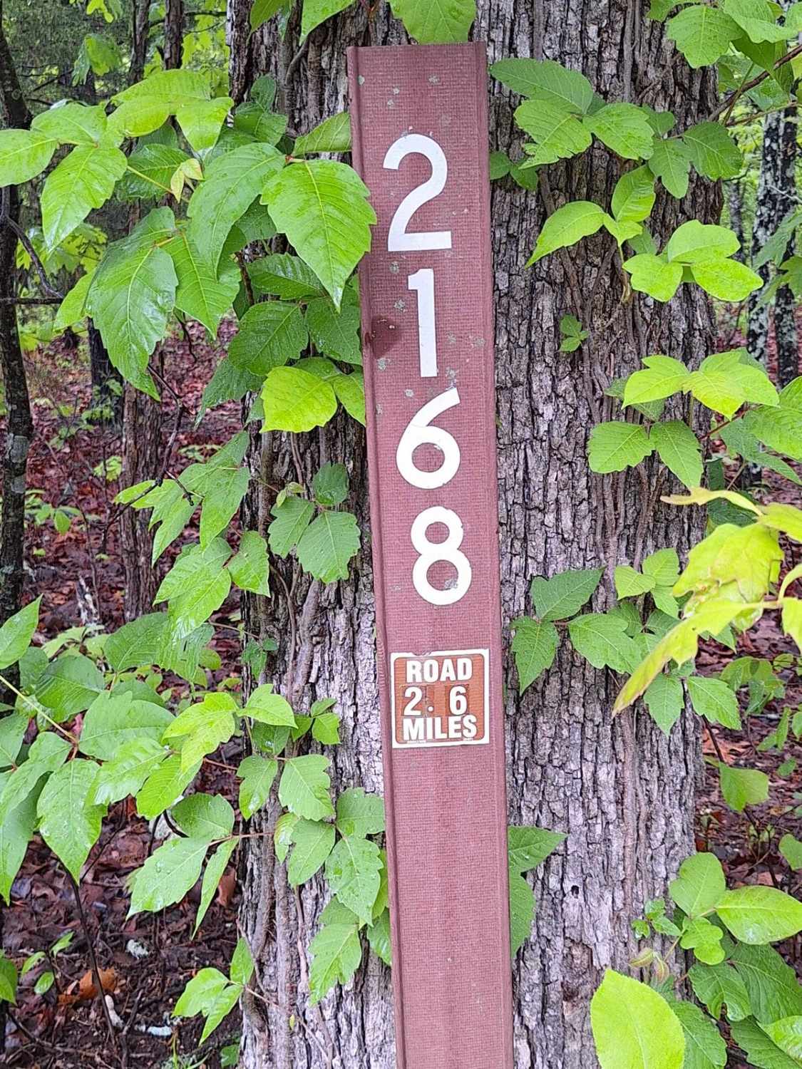
Anderson Hollow (FSR 2168)
Total Miles
2.6
Tech Rating
Easy
Best Time
Spring, Summer, Fall, Winter
Learn more about Antioch FSR 2125
Antioch FSR 2125
Total Miles
3.7
Tech Rating
Moderate
Best Time
Spring, Fall
Learn more about Arch Cave Cliff Drive - 274
Arch Cave Cliff Drive - 274
Total Miles
0.2
Tech Rating
Moderate
Best Time
Spring, Summer, Fall, Winter
Learn more about Arnett Mountain FSR 2191
Arnett Mountain FSR 2191
Total Miles
2.6
Tech Rating
Easy
Best Time
Spring, Summer, Fall, Winter
Learn more about Asher - FS 2484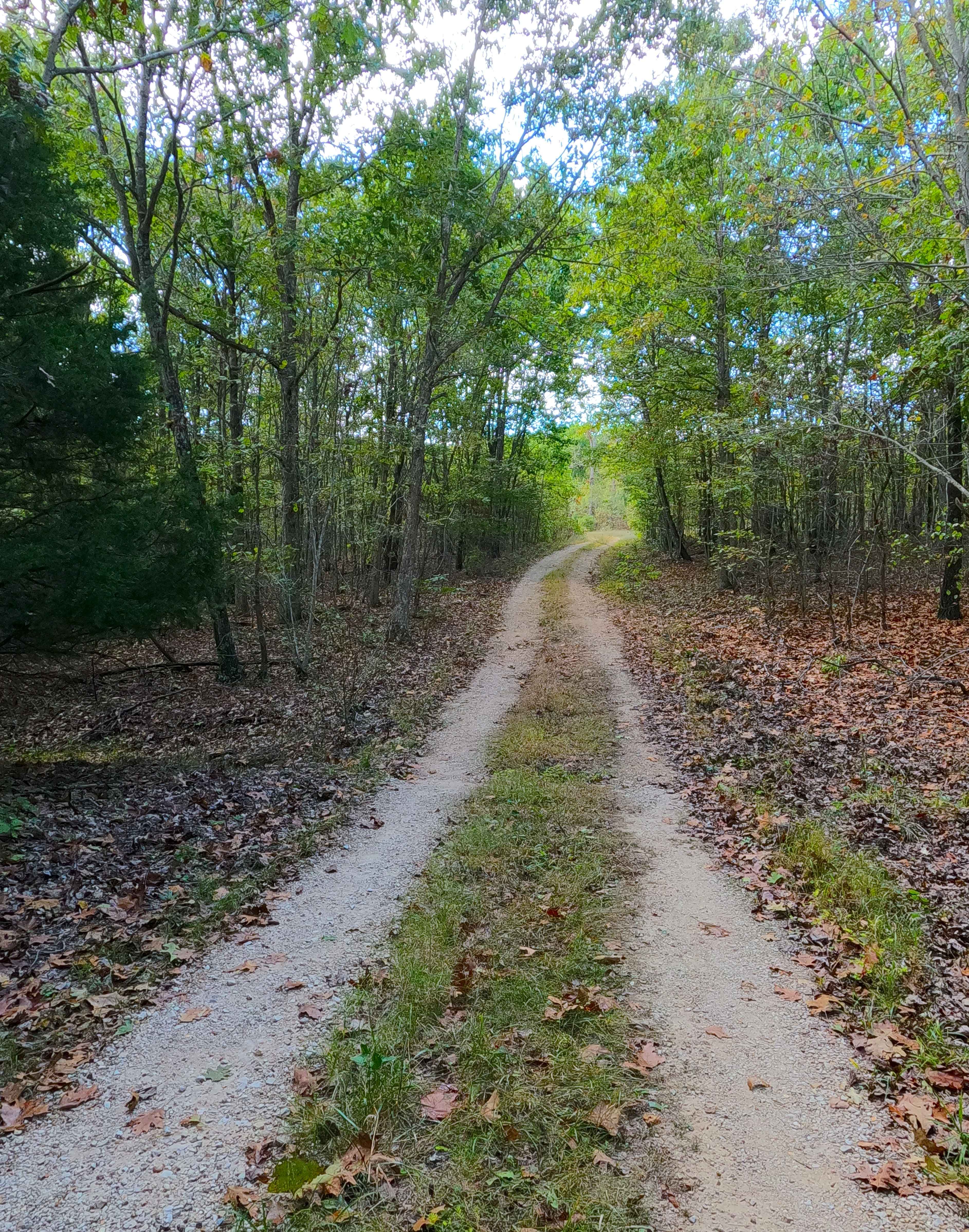
Asher - FS 2484
Total Miles
0.7
Tech Rating
Easy
Best Time
Spring, Summer, Fall, Winter
Learn more about Assault Opossum Hill 16
Assault Opossum Hill 16
Total Miles
0.3
Tech Rating
Moderate
Best Time
Summer, Spring, Fall, Winter
Learn more about Austin's Corner 353
Austin's Corner 353
Total Miles
0.3
Tech Rating
Difficult
Best Time
Spring, Summer, Fall, Winter
Learn more about AXC Crossing 
AXC Crossing
Total Miles
0.2
Tech Rating
Easy
Best Time
Spring, Summer, Fall, Winter
Learn more about AXC Kids Loop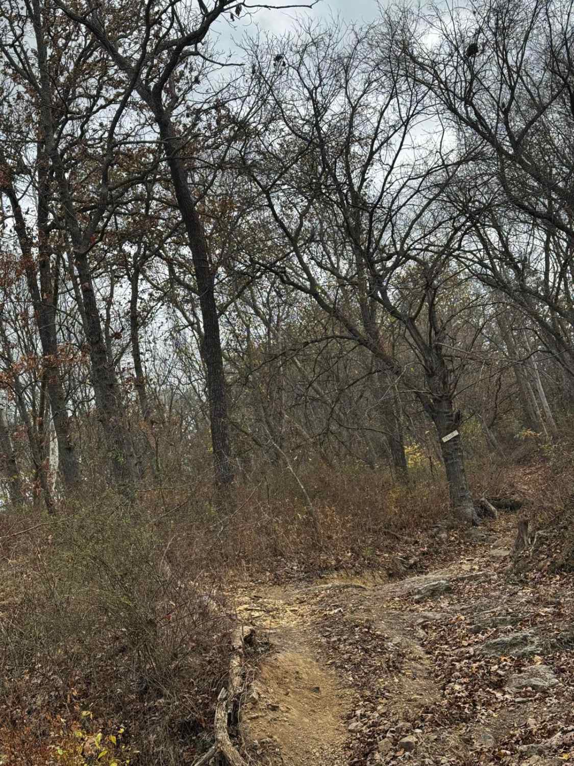
AXC Kids Loop
Total Miles
0.7
Tech Rating
Easy
Best Time
Spring, Fall, Summer, Winter
ATV trails in Missouri
Learn more about Copperhead 295
Copperhead 295
Total Miles
0.2
Tech Rating
Difficult
Best Time
Spring, Summer, Fall, Winter
Learn more about Corner Pocket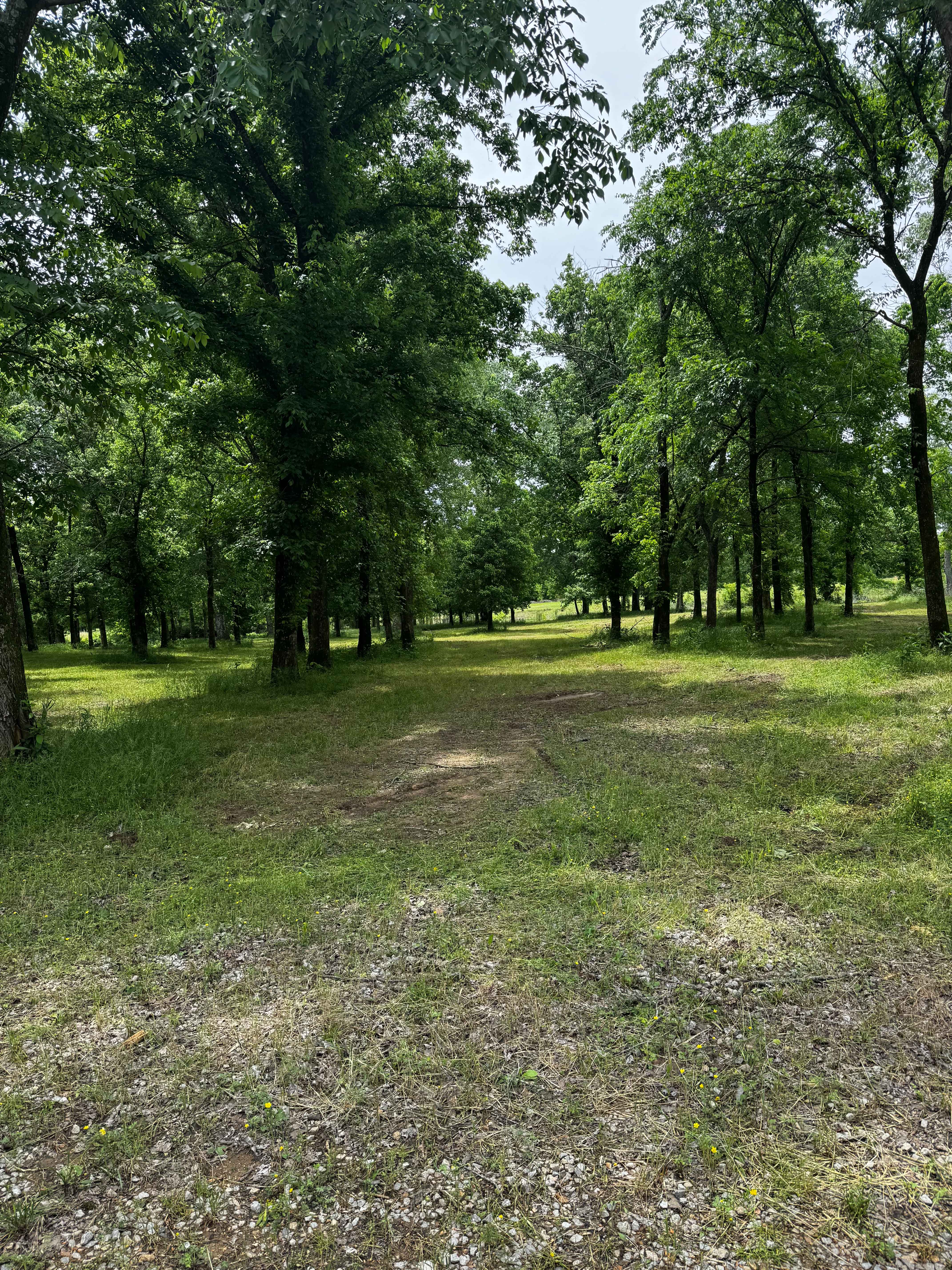
Corner Pocket
Total Miles
0.1
Tech Rating
Easy
Best Time
Spring, Summer, Fall, Winter
Learn more about Country Road Nec35A
Country Road Nec35A
Total Miles
4.4
Tech Rating
Easy
Best Time
Spring, Fall, Summer, Winter
Learn more about County Road 523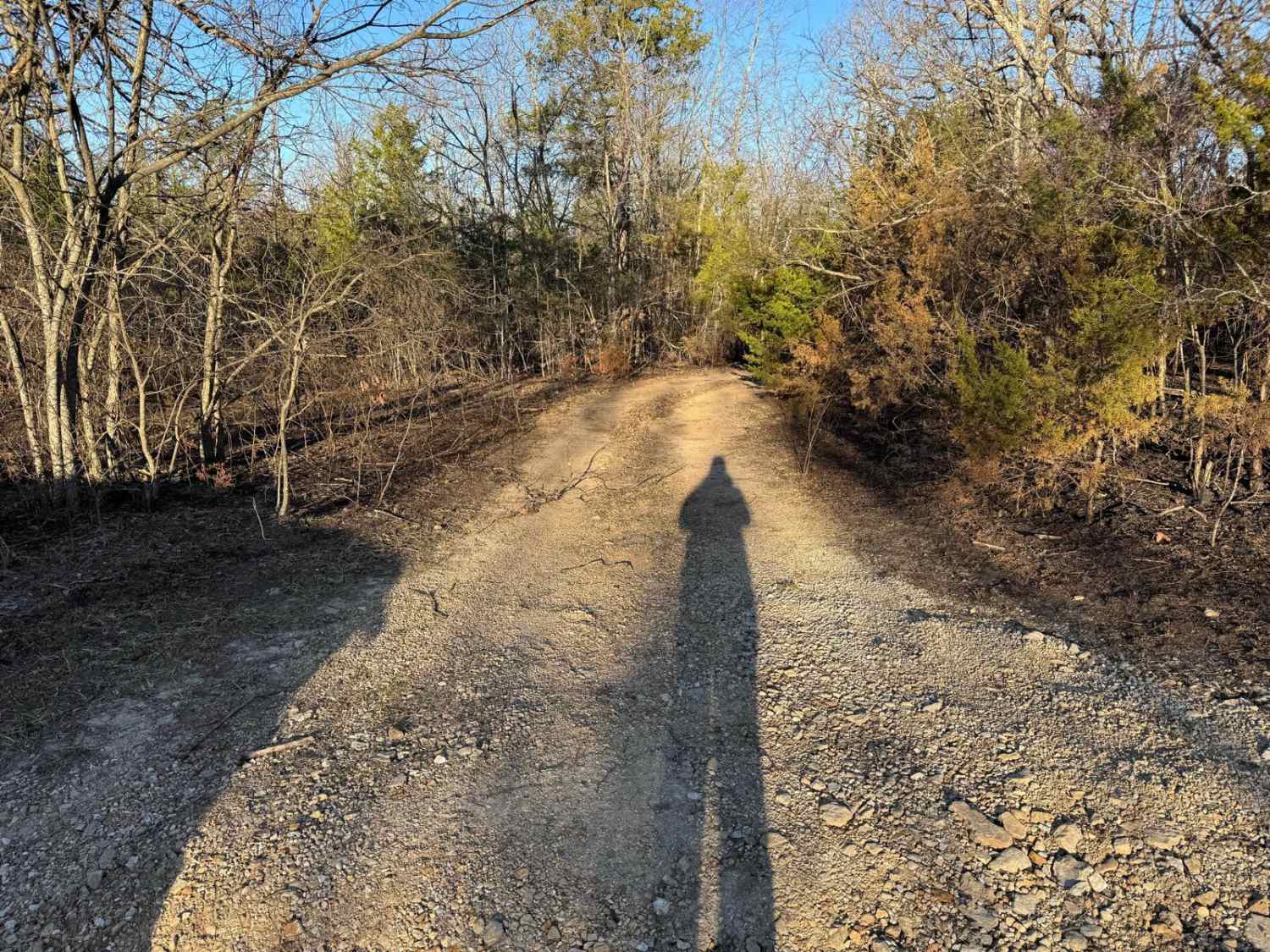
County Road 523
Total Miles
1.0
Tech Rating
Moderate
Best Time
Spring, Summer, Fall, Winter
UTV/side-by-side trails in Missouri
Learn more about 4 of 5
4 of 5
Total Miles
0.0
Tech Rating
Difficult
Best Time
Spring, Summer, Fall, Winter
The onX Offroad Difference
onX Offroad combines trail photos, descriptions, difficulty ratings, width restrictions, seasonality, and more in a user-friendly interface. Available on all devices, with offline access and full compatibility with CarPlay and Android Auto. Discover what you’re missing today!