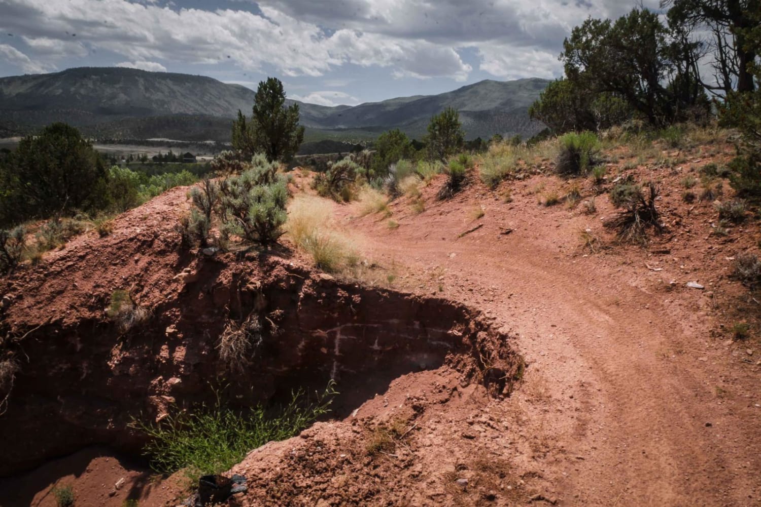
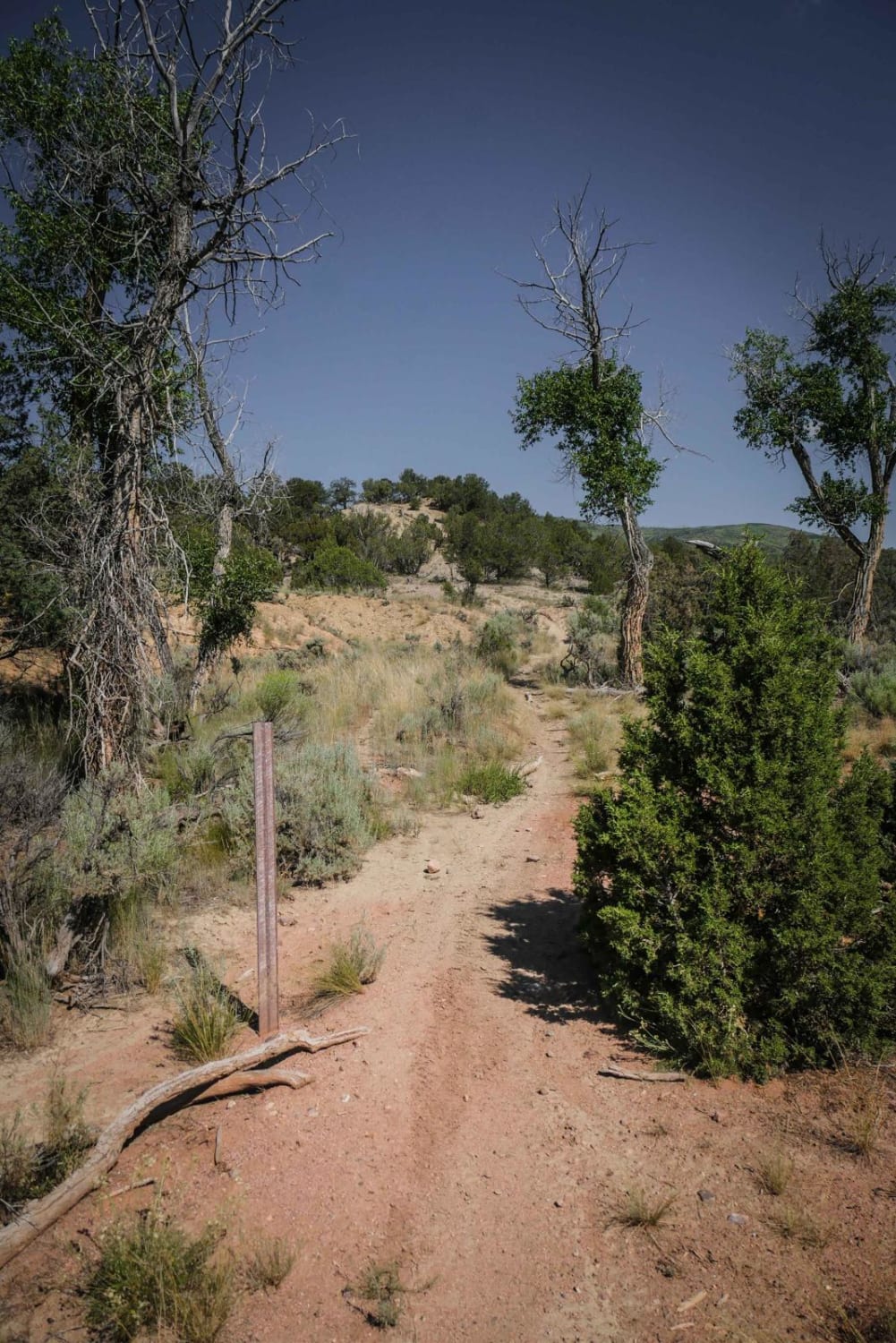
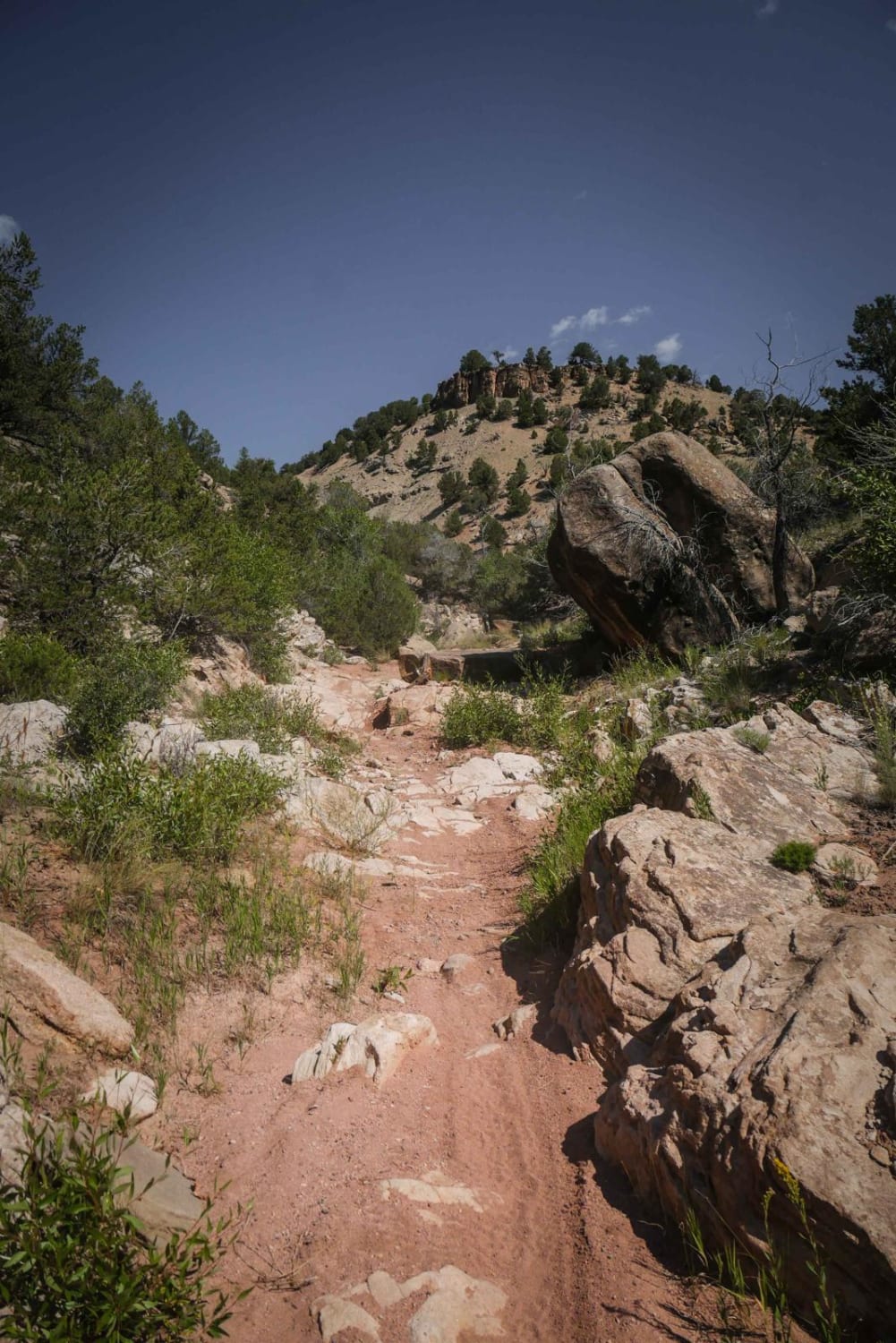
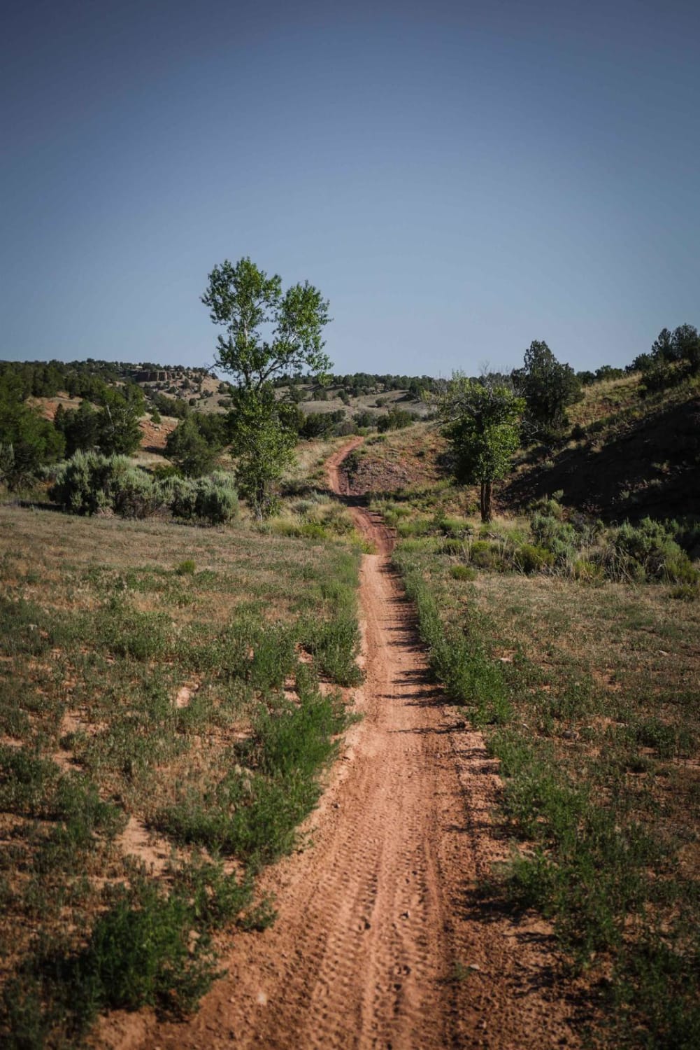
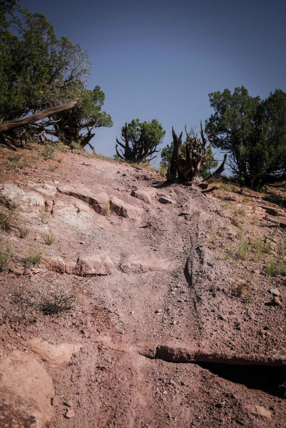
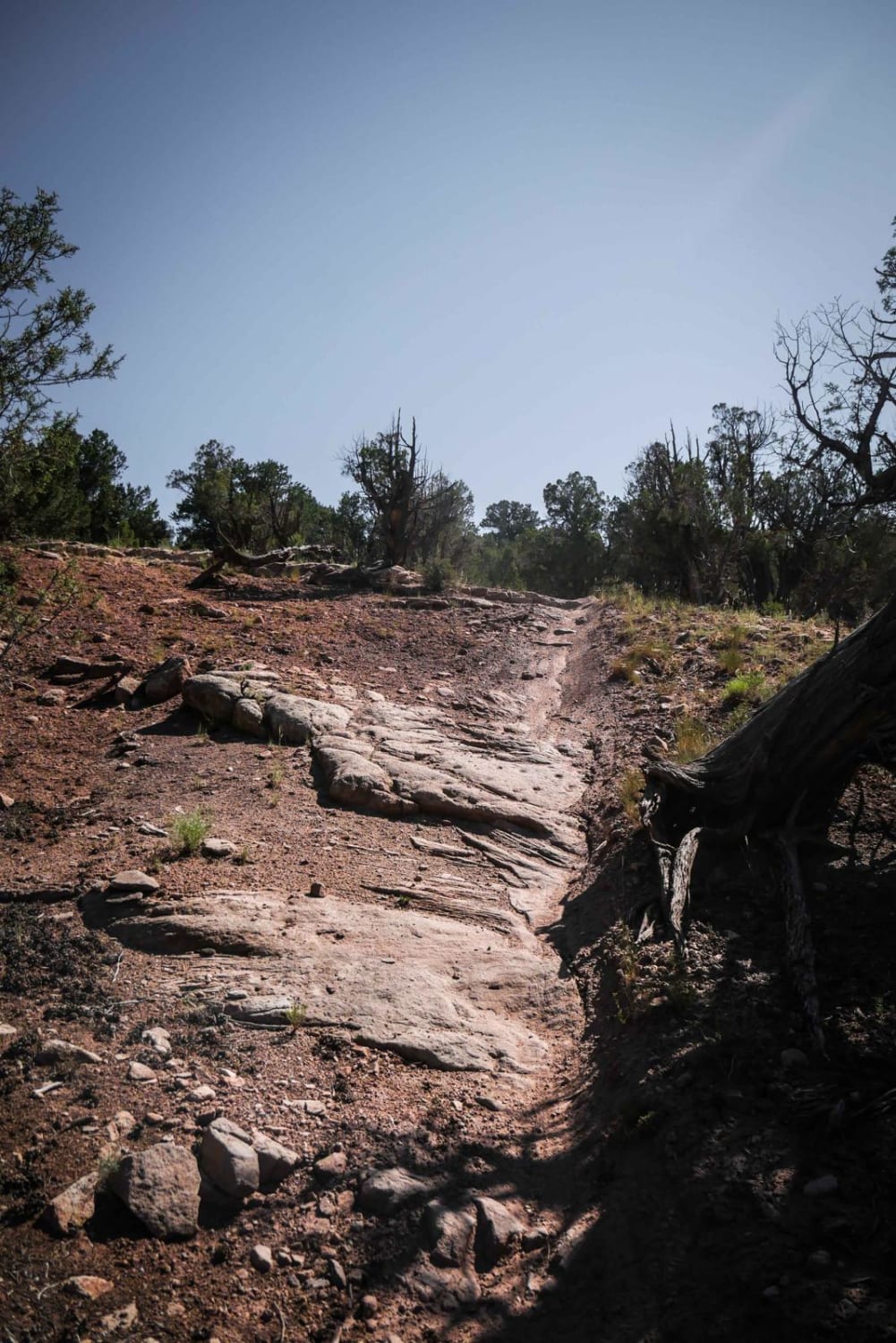
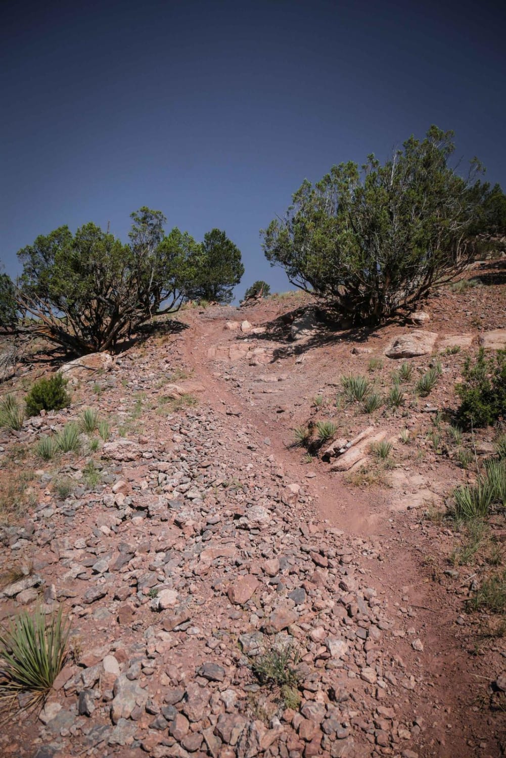
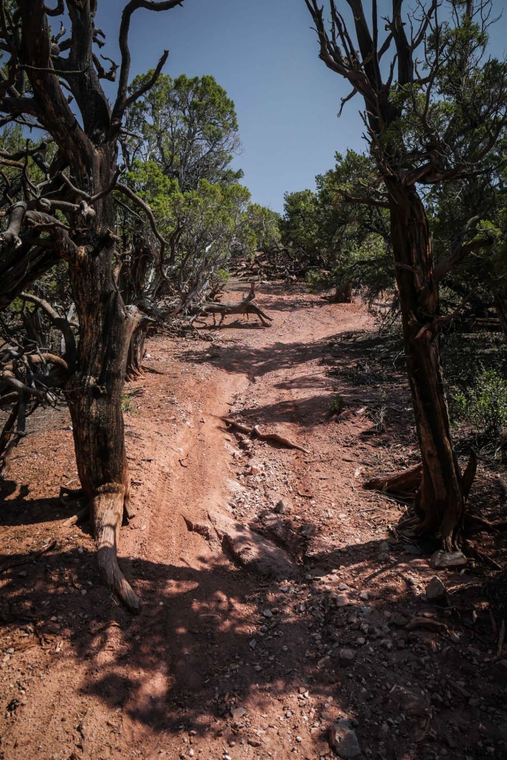
Off-Road Trails in Colorado
Discover off-road trails in Colorado
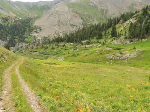
Learn more about Aberdeen Connector 
Aberdeen Connector
Total Miles
0.4
Tech Rating
Moderate
Best Time
Spring, Summer, Fall
Learn more about Aberdeen East Loop 
Aberdeen East Loop
Total Miles
3.9
Tech Rating
Moderate
Best Time
Spring, Summer, Fall
Learn more about Aberdeen West Loop
Aberdeen West Loop
Total Miles
3.4
Tech Rating
Moderate
Best Time
Spring, Summer, Fall
Learn more about Agua Ramon Mountain - Fr 630
Agua Ramon Mountain - Fr 630
Total Miles
15.4
Tech Rating
Easy
Best Time
Spring, Summer, Fall
Learn more about Alamosa Conjeos-Fr Rd 250
Alamosa Conjeos-Fr Rd 250
Total Miles
28.8
Tech Rating
Easy
Best Time
Spring, Summer, Fall, Winter
ATV trails in Colorado

Learn more about 16 Road, Coal Gulch
16 Road, Coal Gulch
Total Miles
14.1
Tech Rating
Easy
Best Time
Spring, Fall


UTV/side-by-side trails in Colorado
Learn more about 16 Road, Coal Gulch
16 Road, Coal Gulch
Total Miles
14.1
Tech Rating
Easy
Best Time
Spring, Fall

The onX Offroad Difference
onX Offroad combines trail photos, descriptions, difficulty ratings, width restrictions, seasonality, and more in a user-friendly interface. Available on all devices, with offline access and full compatibility with CarPlay and Android Auto. Discover what you’re missing today!