Alaska Basin
Total Miles
2.2
Technical Rating
Best Time
Summer, Fall
Trail Type
High-Clearance 4x4 Trail
Accessible By
Trail Overview
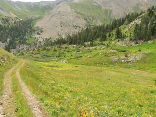
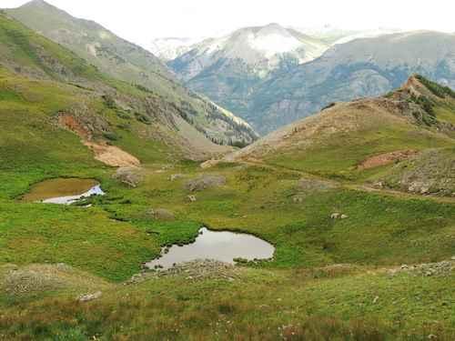
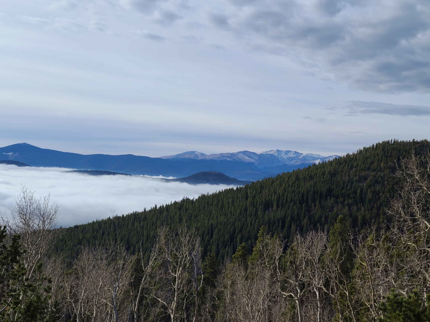
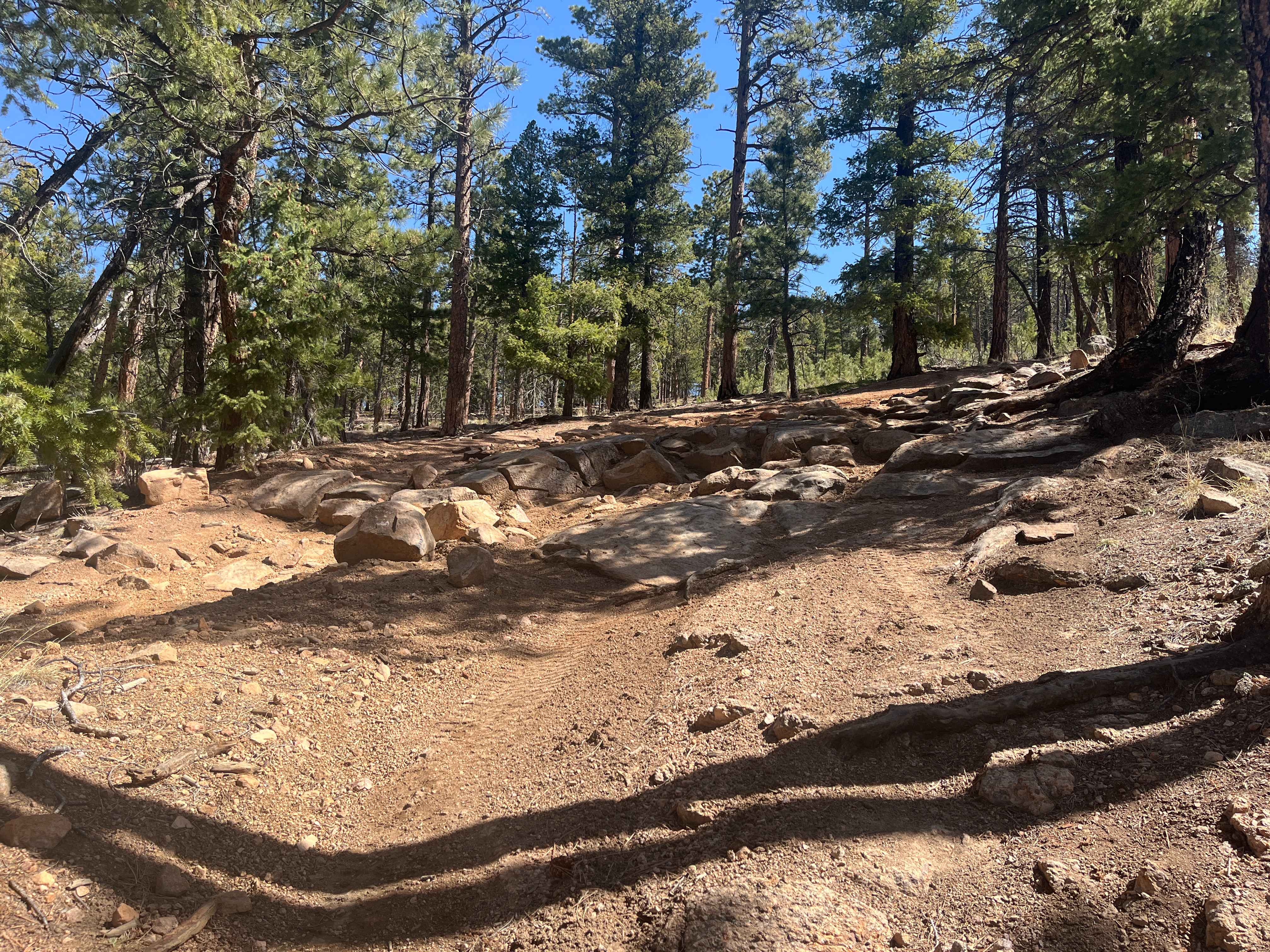
Alaska Basin is an easy Jeep trail that leaves the Animas Loop just west of Hurricane Pass and drops down into a beautiful basin. The first half of the trail is smooth and well maintained, leading to an overlook of "The Wall" on Poughkeepsie Gulch. This is as far as most people go because they do not even notice a lesser road turning off to the side. This photo shows the drop-down into Alaska Basin with the overlook just beyond the end of the road. The lesser road is narrower and filled with grass. It is traveled, but not as much as the first half of the trail. It soon drops down into a basin at the head of Silver Creek, then continues a bit farther to a dead end that one time continued to Poughkeepsie Gulch.
Photos of Alaska Basin
Difficulty
Uneven, rutted dirt trail with loose rocks, sand, erosion, and washes. Potential water crossings up to a foot deep, mud holes, and obstacles up to 18", including ledges and short, steep grades. Roads are typically one vehicle wide with places to pass.
Status Reports
Alaska Basin can be accessed by the following ride types:
- High-Clearance 4x4
- SxS (60")
- ATV (50")
- Dirt Bike
Alaska Basin Map
Popular Trails
BLM Route 31
Yankee Hill / Mosquito Creek
Predator Road
The onX Offroad Difference
onX Offroad combines trail photos, descriptions, difficulty ratings, width restrictions, seasonality, and more in a user-friendly interface. Available on all devices, with offline access and full compatibility with CarPlay and Android Auto. Discover what you’re missing today!