Agate Creek
Total Miles
9.3
Technical Rating
Best Time
Summer
Trail Type
Single Track
Accessible By
Trail Overview
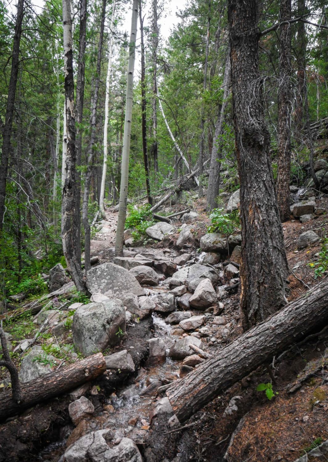
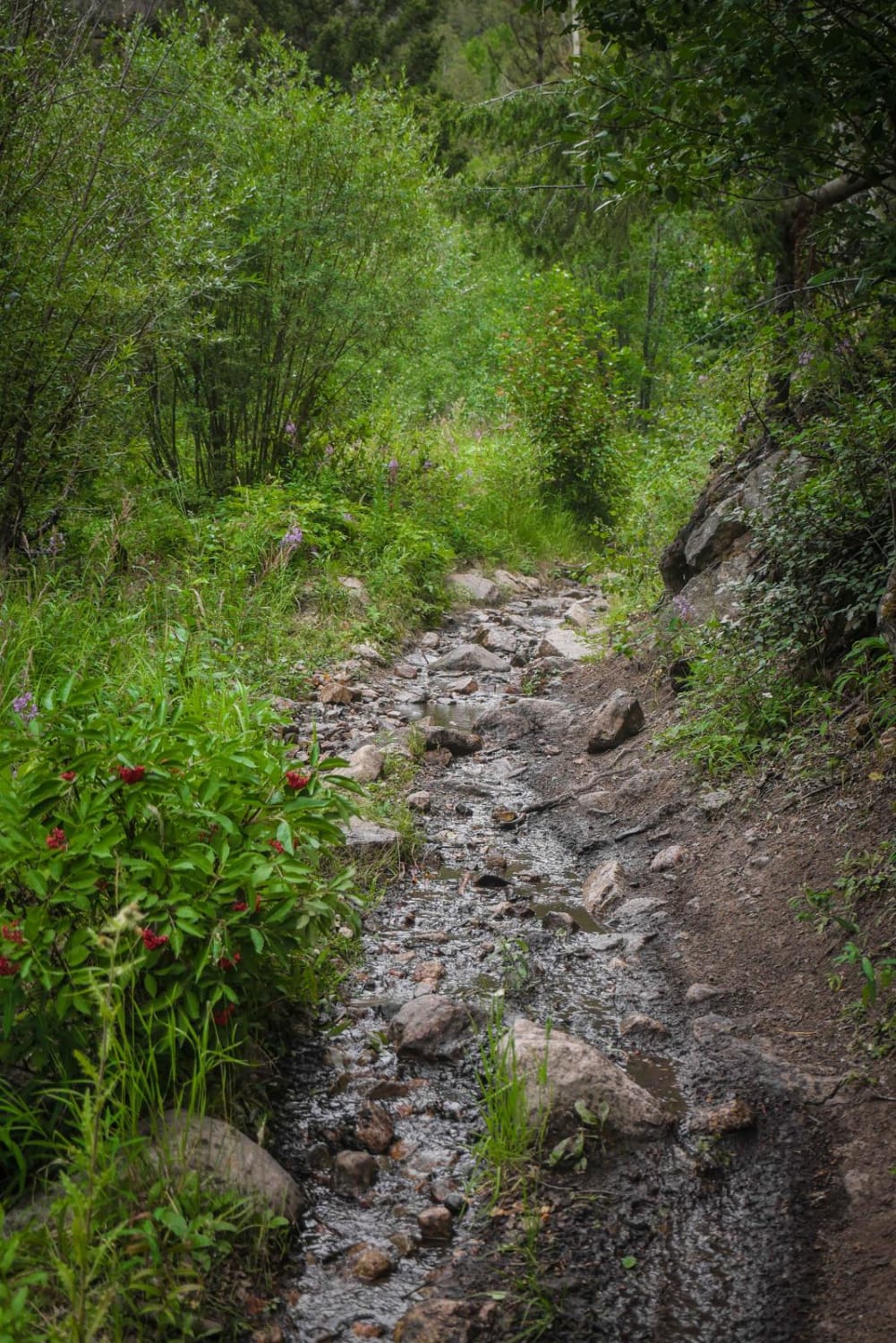
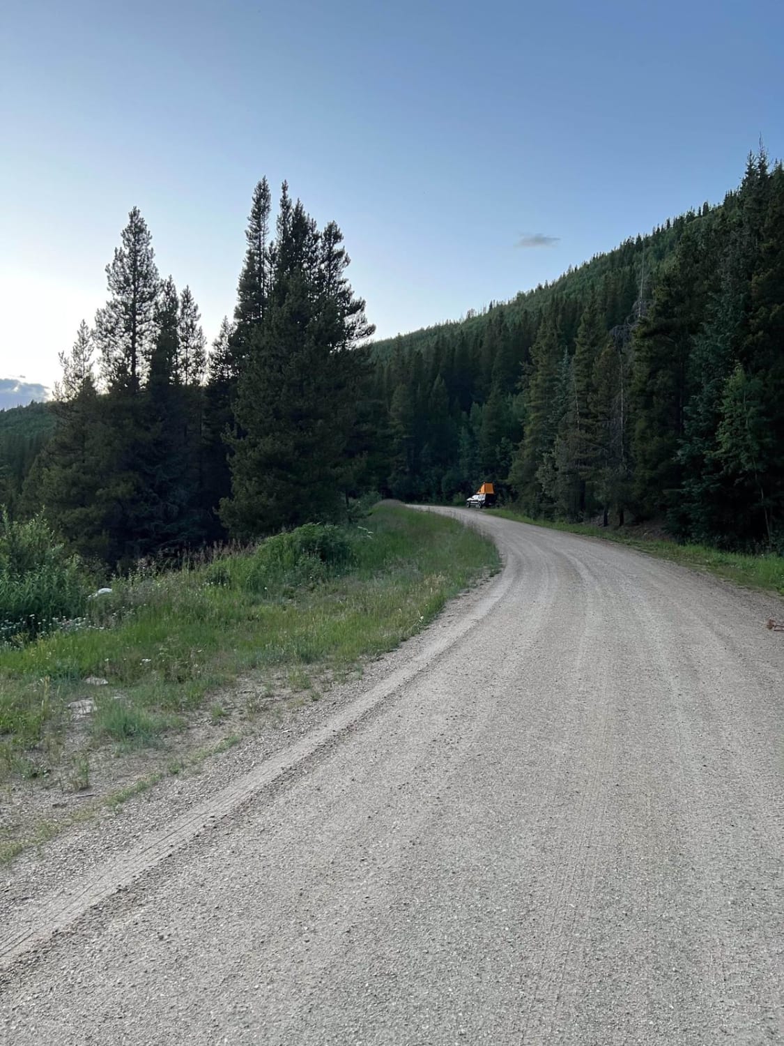
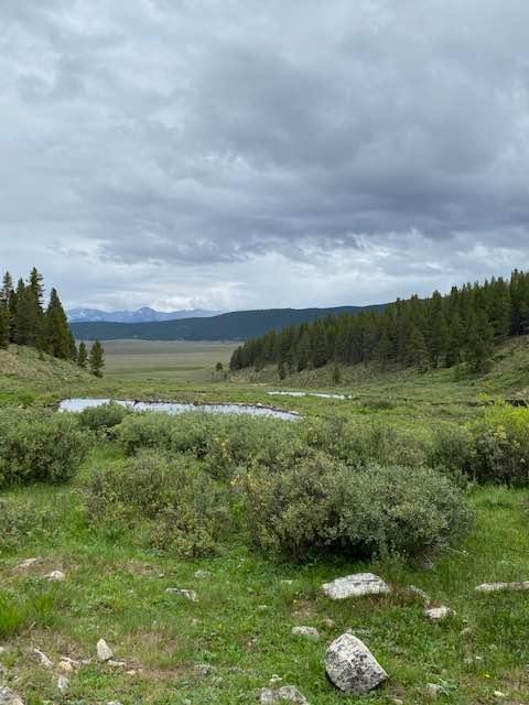
The Agate Creek Trail is a fun and challenging trail in the Gunnison National Forest near Sargents, Colorado, that starts right off of Highway 50 at the Agate Campground. It's a really rocky single track that follows a creek the entire way, with multiple creek crossings. It's made up of big boulders and big rock problems, and lots of sections are just full of cobble loose rocks. The creek overflows onto the trail for a bit, making for a muddy wet trail. It slowly climbs all the way up to Monarch Crest Trail, climbing 2,900 feet over almost 10 miles. The second half of the trail is much easier. It goes through a really pretty forest of pines and aspens and goes past an old mining cabin.
Photos of Agate Creek
Difficulty
This is a challenging trail due to so many rocks, including large rock obstacles. Long trail, consistently full of rocks.
Status Reports
Agate Creek can be accessed by the following ride types:
- Dirt Bike
Agate Creek Map
Popular Trails
Waterboard Rd - FS 128
Mount Elbert East Ridge

6061A ATV
The onX Offroad Difference
onX Offroad combines trail photos, descriptions, difficulty ratings, width restrictions, seasonality, and more in a user-friendly interface. Available on all devices, with offline access and full compatibility with CarPlay and Android Auto. Discover what you’re missing today!