Off-Road Trails in Arkansas
Discover off-road trails in Arkansas
Learn more about C5 Humdinger
C5 Humdinger
Total Miles
0.2
Tech Rating
Moderate
Best Time
Spring, Summer, Fall, Winter
Learn more about C6 Ingrid's Revenge
C6 Ingrid's Revenge
Total Miles
0.2
Tech Rating
Difficult
Best Time
Spring, Summer, Fall, Winter
Learn more about C7 Donnie's Hill (Bottom)
C7 Donnie's Hill (Bottom)
Total Miles
0.2
Tech Rating
Difficult
Best Time
Spring, Fall, Winter, Summer
Learn more about C8 Back Porch
C8 Back Porch
Total Miles
0.2
Tech Rating
Moderate
Best Time
Spring, Summer, Fall, Winter
Learn more about C9 Ingrid's Early Exit
C9 Ingrid's Early Exit
Total Miles
0.0
Tech Rating
Moderate
Best Time
Summer, Spring, Fall, Winter
Learn more about Cambell Cemetery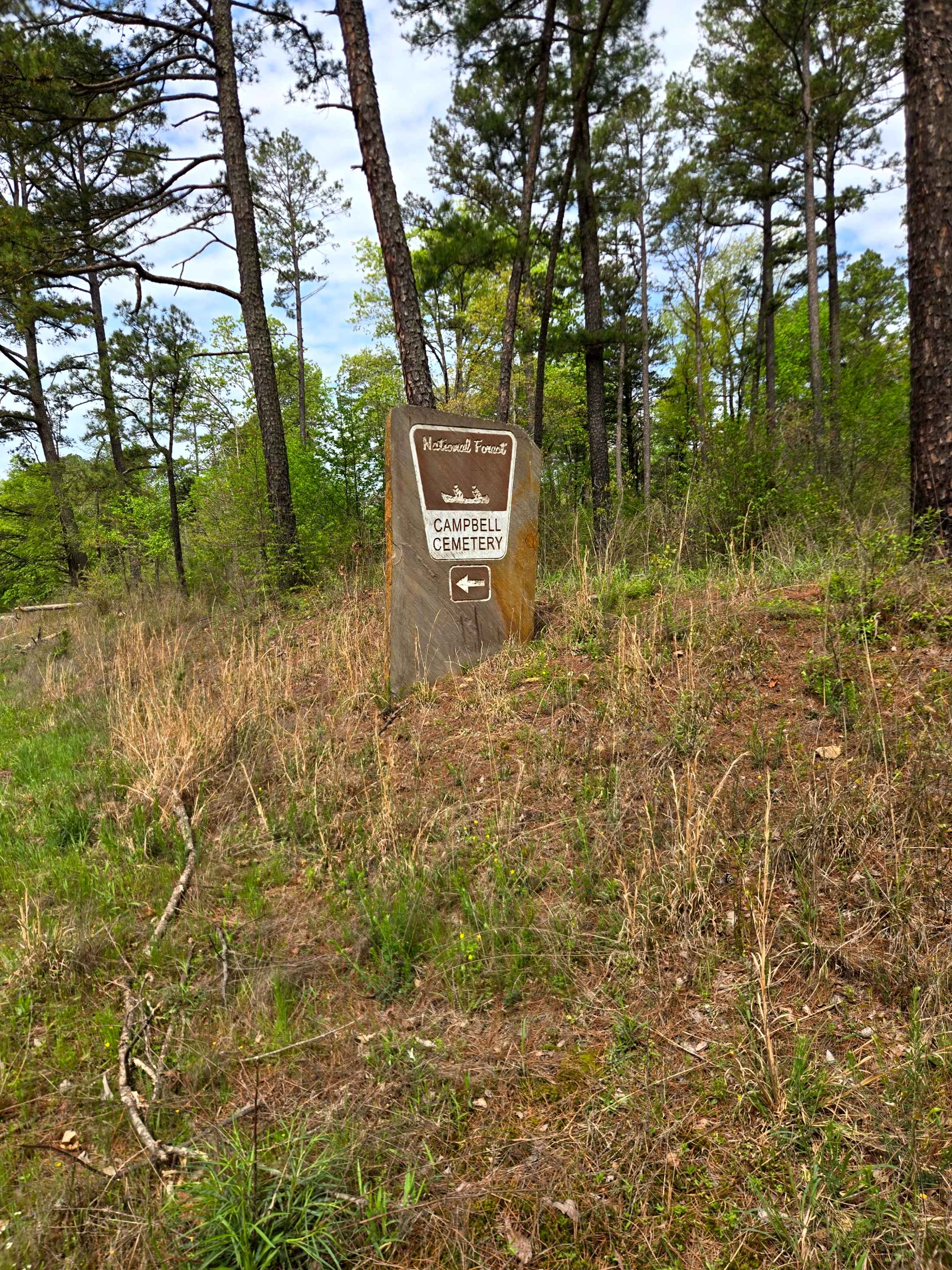
Cambell Cemetery
Total Miles
0.9
Tech Rating
Easy
Best Time
Spring, Summer, Fall, Winter
Learn more about Can Opener
Can Opener
Total Miles
0.3
Tech Rating
Moderate
Best Time
Spring, Summer, Fall, Winter
Learn more about Cane Island
Cane Island
Total Miles
1.8
Tech Rating
Easy
Best Time
Spring, Summer, Fall, Winter
Learn more about Carely Mountain Road - D66
Carely Mountain Road - D66
Total Miles
0.6
Tech Rating
Easy
Best Time
Fall
Learn more about Carter Mountain
Carter Mountain
Total Miles
6.1
Tech Rating
Easy
Best Time
Summer, Winter, Fall, Spring
Learn more about Carwash Falls
Carwash Falls
Total Miles
14.6
Tech Rating
Easy
Best Time
Spring, Summer, Winter
Learn more about Casteel Road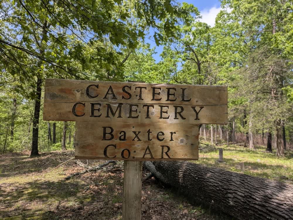
Casteel Road
Total Miles
1.4
Tech Rating
Easy
Best Time
Spring, Summer, Fall, Winter
Learn more about Cedar Cabin 125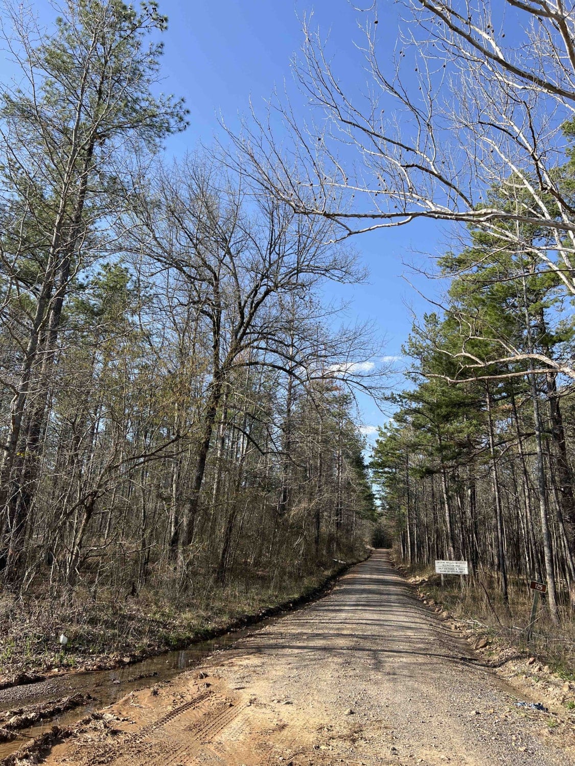
Cedar Cabin 125
Total Miles
8.1
Tech Rating
Easy
Best Time
Spring, Fall, Winter
Learn more about Cedar View
Cedar View
Total Miles
5.0
Tech Rating
Easy
Best Time
Spring, Summer, Fall, Winter
Learn more about Champ Road to Nella Road
Champ Road to Nella Road
Total Miles
7.3
Tech Rating
Easy
Best Time
Spring, Summer, Fall, Winter
Learn more about Champagnolle Creek Loop
Champagnolle Creek Loop
Total Miles
8.4
Tech Rating
Easy
Best Time
Spring
Learn more about Cheyenne Road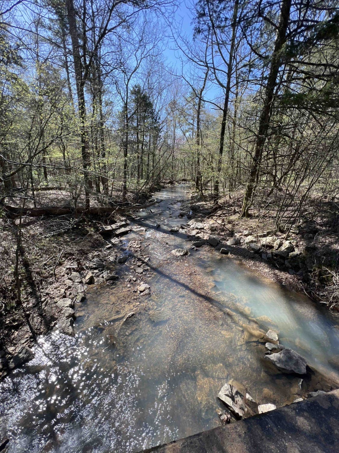
Cheyenne Road
Total Miles
6.7
Tech Rating
Easy
Best Time
Spring, Fall, Winter
Learn more about Chickalah Mountain East Trail
Chickalah Mountain East Trail
Total Miles
7.7
Tech Rating
Easy
Best Time
Spring, Summer, Fall, Winter
Learn more about Chula Mountain 4128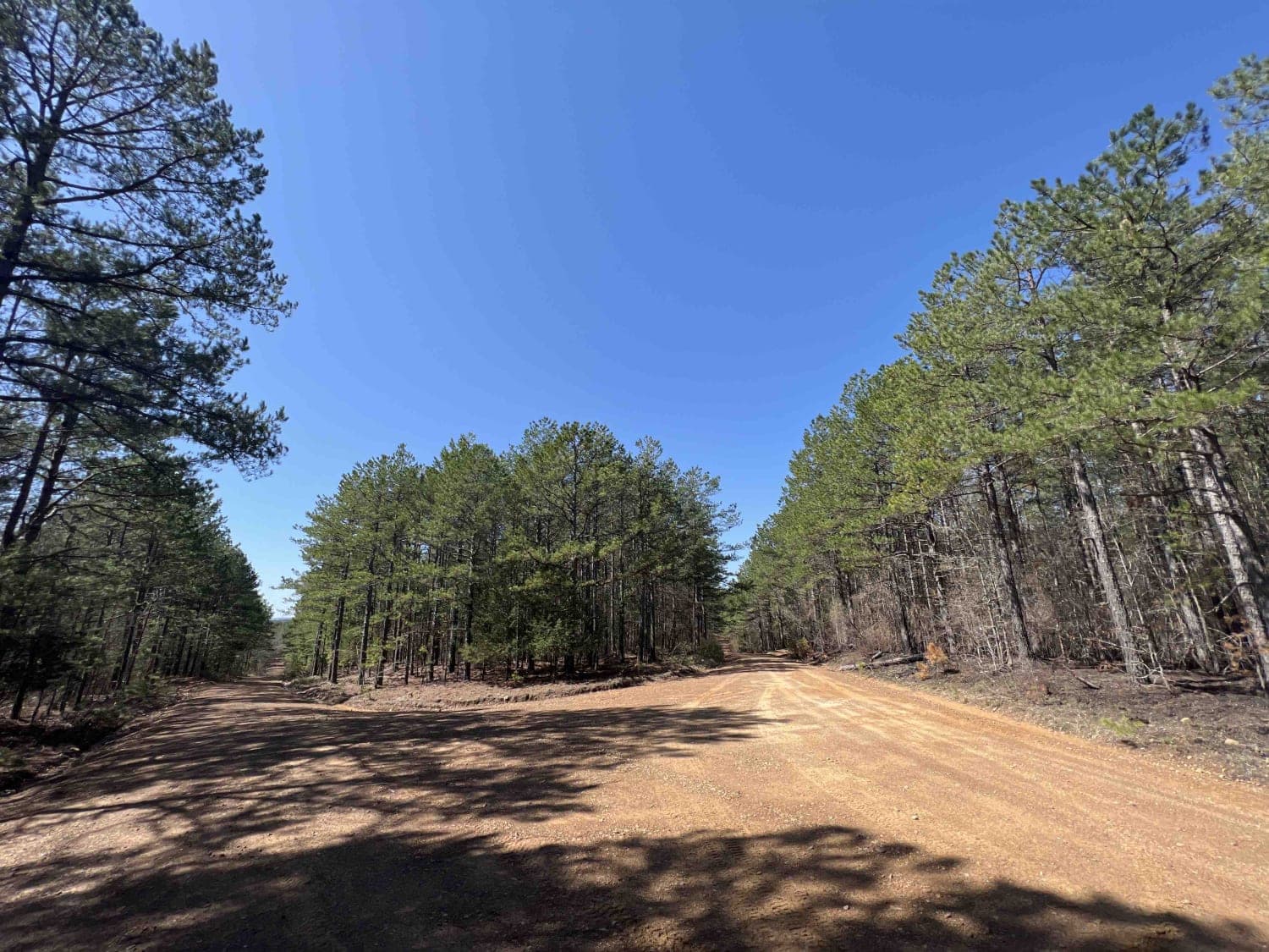
Chula Mountain 4128
Total Miles
8.4
Tech Rating
Easy
Best Time
Spring, Fall, Winter
Learn more about Collier Springs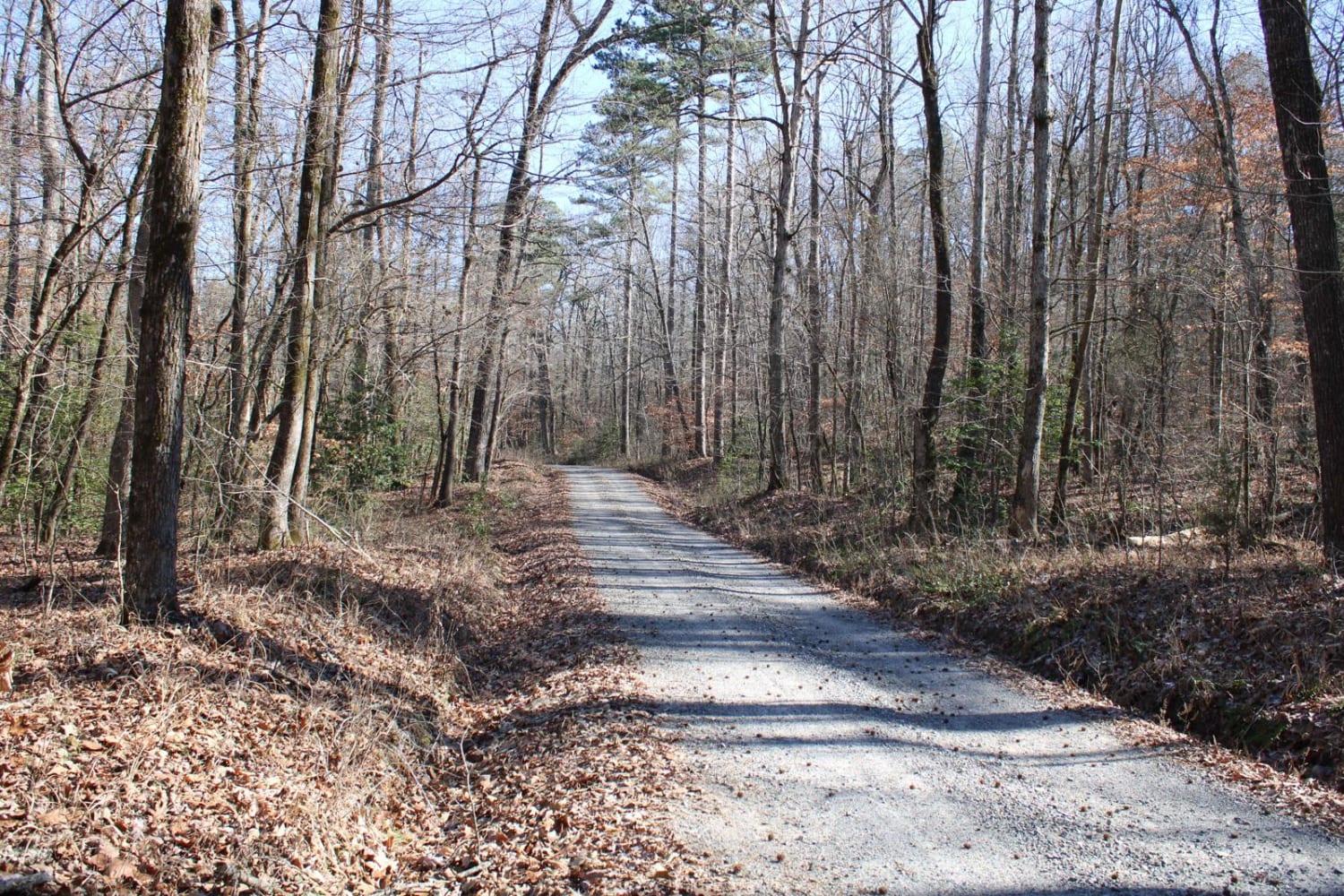
Collier Springs
Total Miles
5.6
Tech Rating
Easy
Best Time
Spring, Summer, Fall, Winter
ATV trails in Arkansas
Learn more about 1101 Road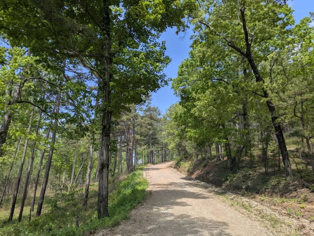
1101 Road
Total Miles
8.7
Tech Rating
Easy
Best Time
Summer, Winter, Fall, Spring
UTV/side-by-side trails in Arkansas
Learn more about 1101 Road
1101 Road
Total Miles
8.7
Tech Rating
Easy
Best Time
Summer, Winter, Fall, Spring
The onX Offroad Difference
onX Offroad combines trail photos, descriptions, difficulty ratings, width restrictions, seasonality, and more in a user-friendly interface. Available on all devices, with offline access and full compatibility with CarPlay and Android Auto. Discover what you’re missing today!