Off-Road Trails in Arkansas
Discover off-road trails in Arkansas
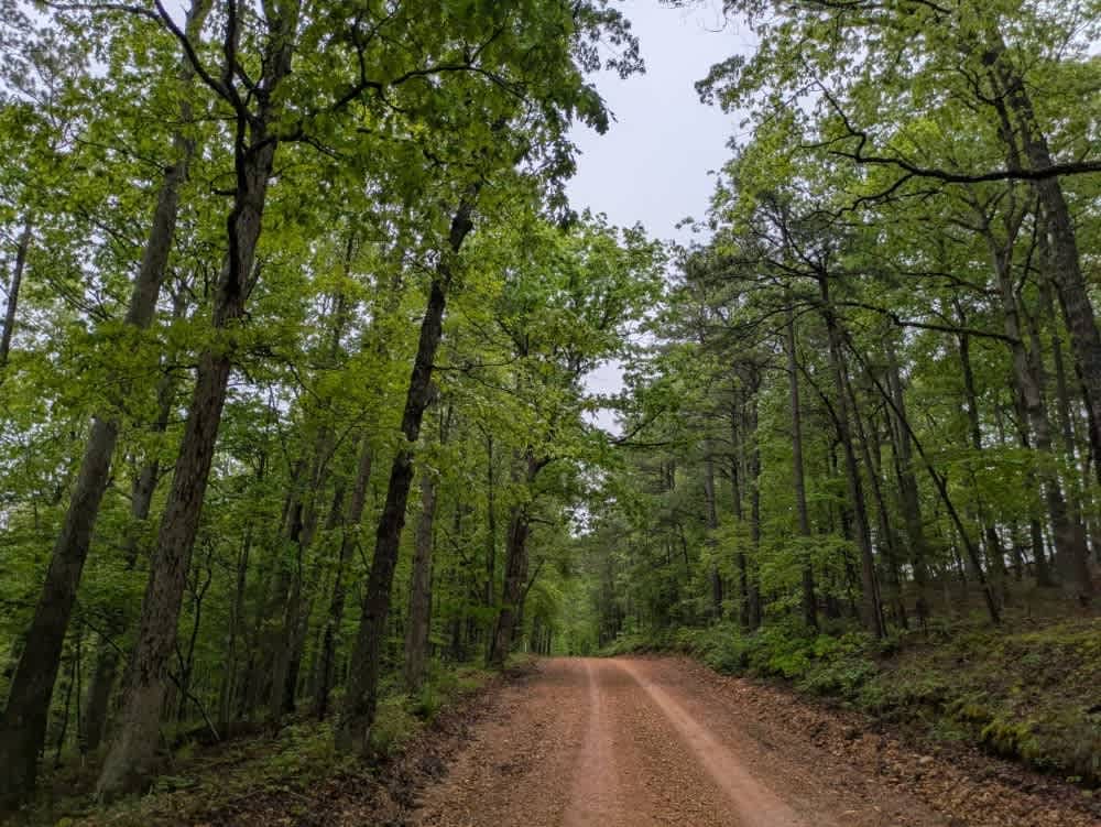
Learn more about Big Cove Road 739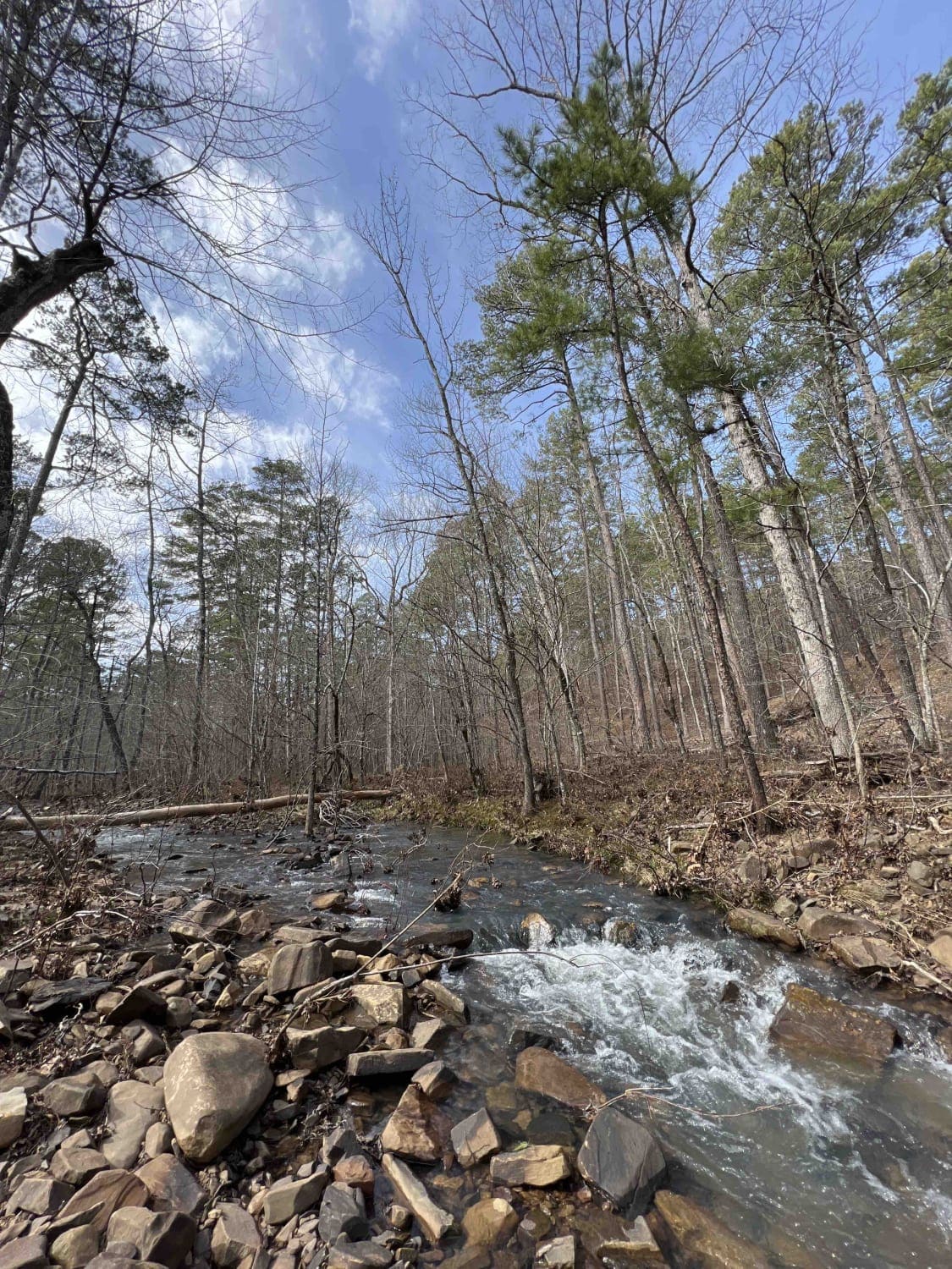
Big Cove Road 739
Total Miles
8.8
Tech Rating
Easy
Best Time
Spring, Fall, Winter
Learn more about Bill's Branch Road
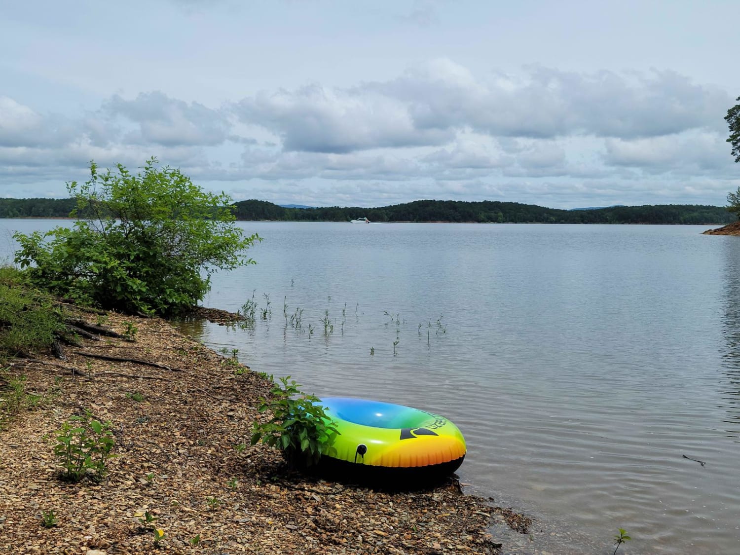
Bill's Branch Road
Total Miles
4.2
Tech Rating
Moderate
Best Time
Fall, Winter
Learn more about Bilstein Ravine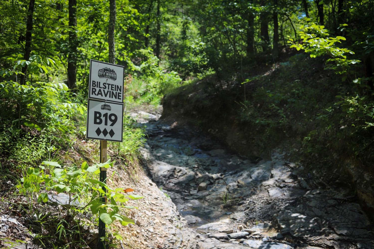
Bilstein Ravine
Total Miles
0.1
Tech Rating
Moderate
Best Time
Spring, Summer, Fall, Winter
Learn more about Birchfield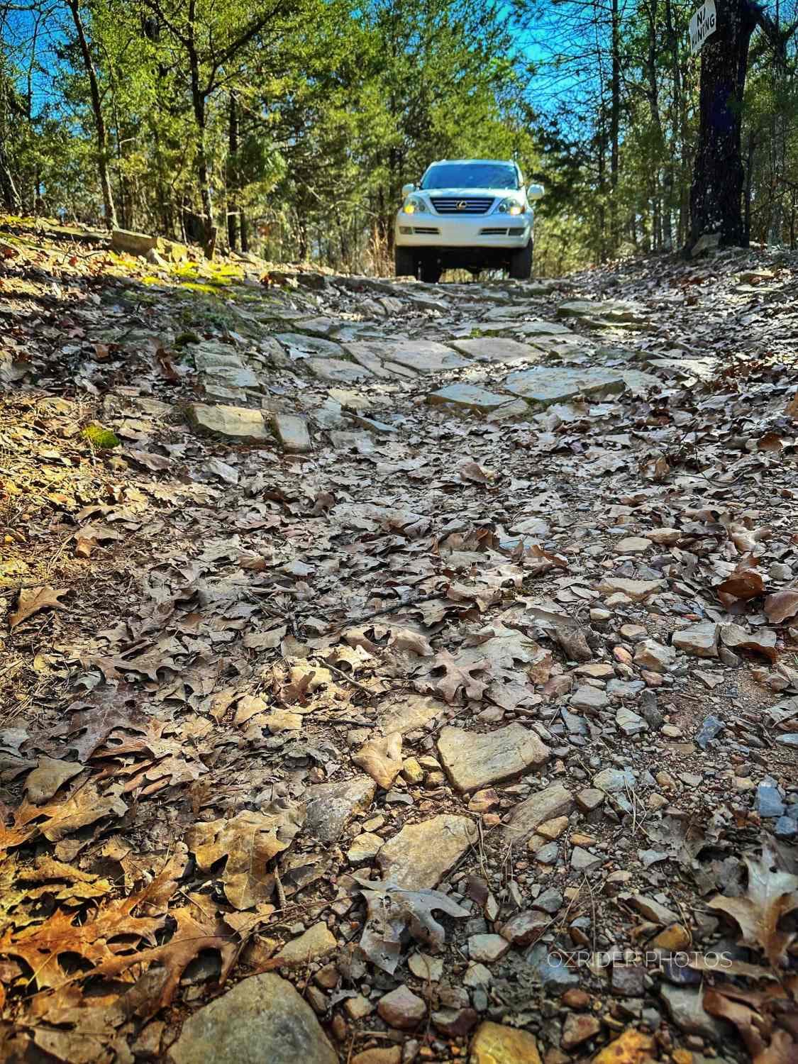
Birchfield
Total Miles
5.4
Tech Rating
Easy
Best Time
Spring, Summer, Fall, Winter
Learn more about Black Oak Ridge
Black Oak Ridge
Total Miles
3.4
Tech Rating
Moderate
Best Time
Spring, Summer, Fall, Winter
Learn more about Black Oak Ridge Loop
Black Oak Ridge Loop
Total Miles
3.6
Tech Rating
Easy
Best Time
Spring, Summer, Fall, Winter
Learn more about Black Oak Ridge Spur Northwest
Black Oak Ridge Spur Northwest
Total Miles
0.7
Tech Rating
Moderate
Best Time
Spring, Summer, Fall, Winter
Learn more about Black Oak Ridge Spur South
Black Oak Ridge Spur South
Total Miles
1.3
Tech Rating
Moderate
Best Time
Spring, Summer, Fall, Winter
Learn more about Bliss Ridge / 1505-1
Bliss Ridge / 1505-1
Total Miles
4.4
Tech Rating
Easy
Best Time
Spring, Summer, Fall, Winter
Learn more about Boggy Creek Monster Trail
Boggy Creek Monster Trail
Total Miles
5.5
Tech Rating
Easy
Best Time
Spring, Summer, Fall, Winter
Learn more about Bois d'Ark Arkansas Spillway & Dam
Bois d'Ark Arkansas Spillway & Dam
Total Miles
2.2
Tech Rating
Easy
Best Time
Spring, Summer, Fall, Winter
Learn more about Bois d'Ark Trail back to Interstate 30
Bois d'Ark Trail back to Interstate 30
Total Miles
7.4
Tech Rating
Easy
Best Time
Spring, Summer, Fall, Winter
Learn more about Bois D'Ark WMA from HWY 67
Bois D'Ark WMA from HWY 67
Total Miles
4.8
Tech Rating
Easy
Best Time
Spring, Summer, Fall, Winter
Learn more about Boney Mountain Trail
Boney Mountain Trail
Total Miles
0.7
Tech Rating
Easy
Best Time
Spring, Fall, Summer
Learn more about Boose Hollow 649
Boose Hollow 649
Total Miles
3.0
Tech Rating
Easy
Best Time
Spring, Fall, Winter
Learn more about Bouncing on Poteau
Bouncing on Poteau
Total Miles
5.5
Tech Rating
Easy
Best Time
Spring, Summer, Fall, Winter
Learn more about Bowman - FS 93204A
Bowman - FS 93204A
Total Miles
2.2
Tech Rating
Easy
Best Time
Fall, Summer, Spring
Learn more about Bradford Easy Loop 1720B/2509
Bradford Easy Loop 1720B/2509
Total Miles
4.0
Tech Rating
Easy
Best Time
Spring, Summer, Fall, Winter
ATV trails in Arkansas
Learn more about 1101 Road
1101 Road
Total Miles
8.7
Tech Rating
Easy
Best Time
Summer, Winter, Fall, Spring
UTV/side-by-side trails in Arkansas
Learn more about 1101 Road
1101 Road
Total Miles
8.7
Tech Rating
Easy
Best Time
Summer, Winter, Fall, Spring
The onX Offroad Difference
onX Offroad combines trail photos, descriptions, difficulty ratings, width restrictions, seasonality, and more in a user-friendly interface. Available on all devices, with offline access and full compatibility with CarPlay and Android Auto. Discover what you’re missing today!