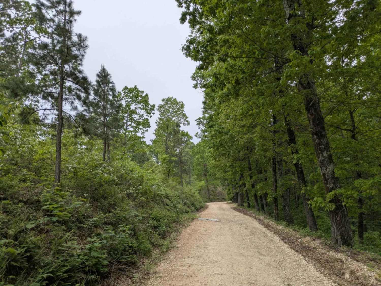
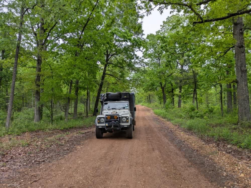
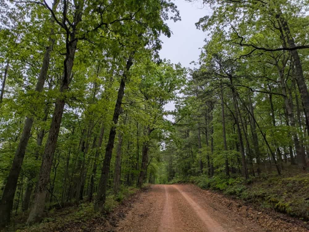
Off-Road Trails in Arkansas
Discover off-road trails in Arkansas

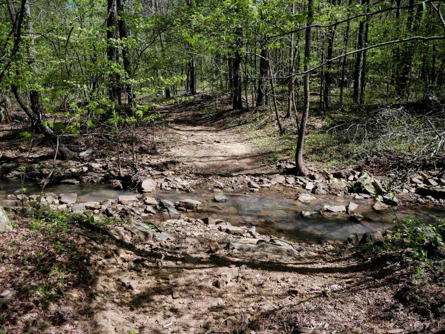
Learn more about Brock Creek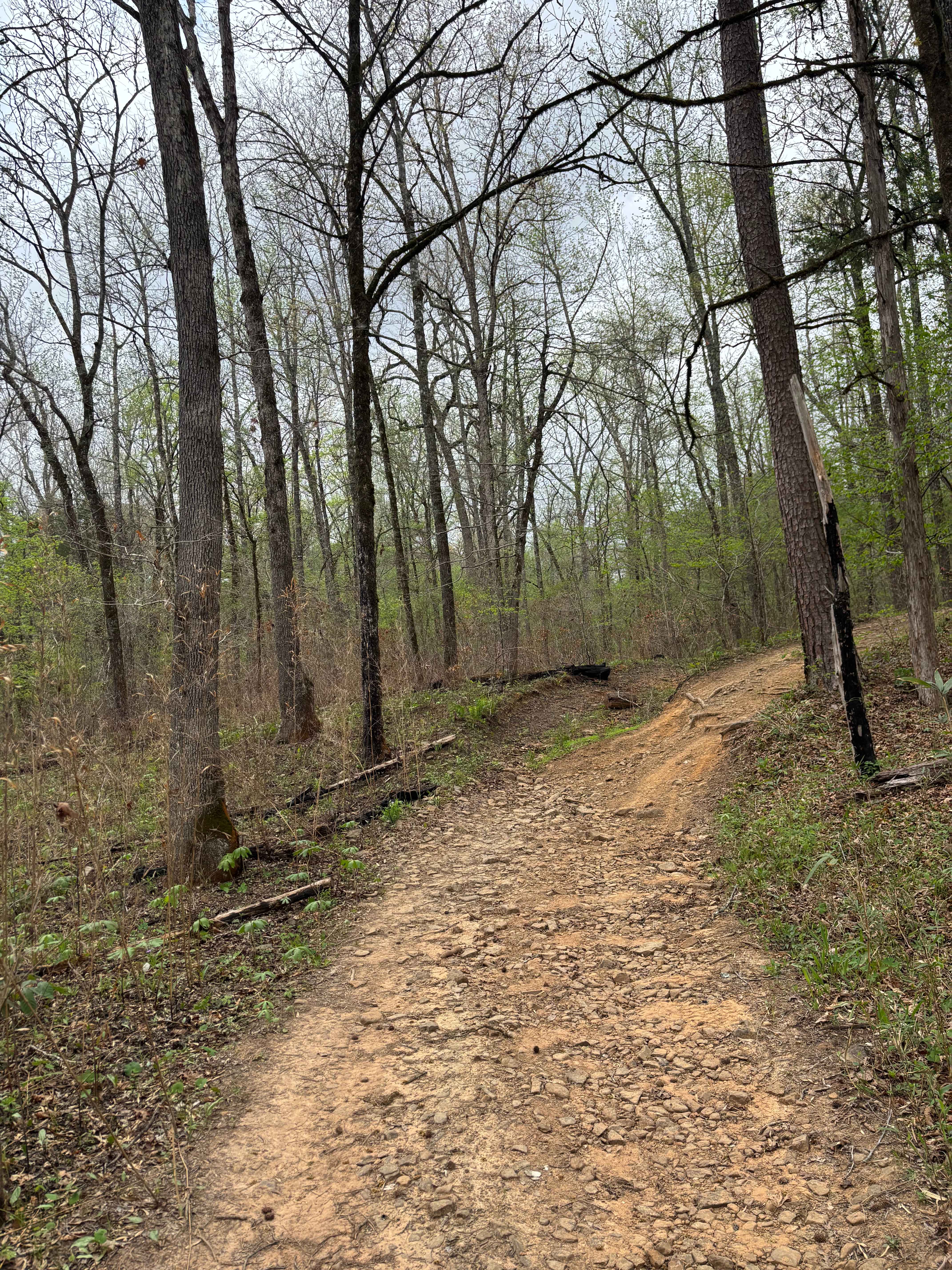
Brock Creek
Total Miles
2.5
Tech Rating
Moderate
Best Time
Spring, Summer, Winter
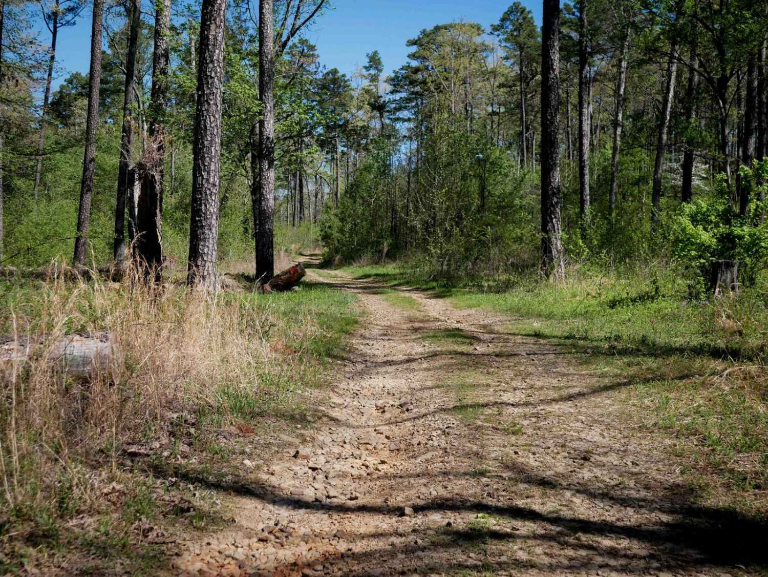
Learn more about Brown Creek Road 805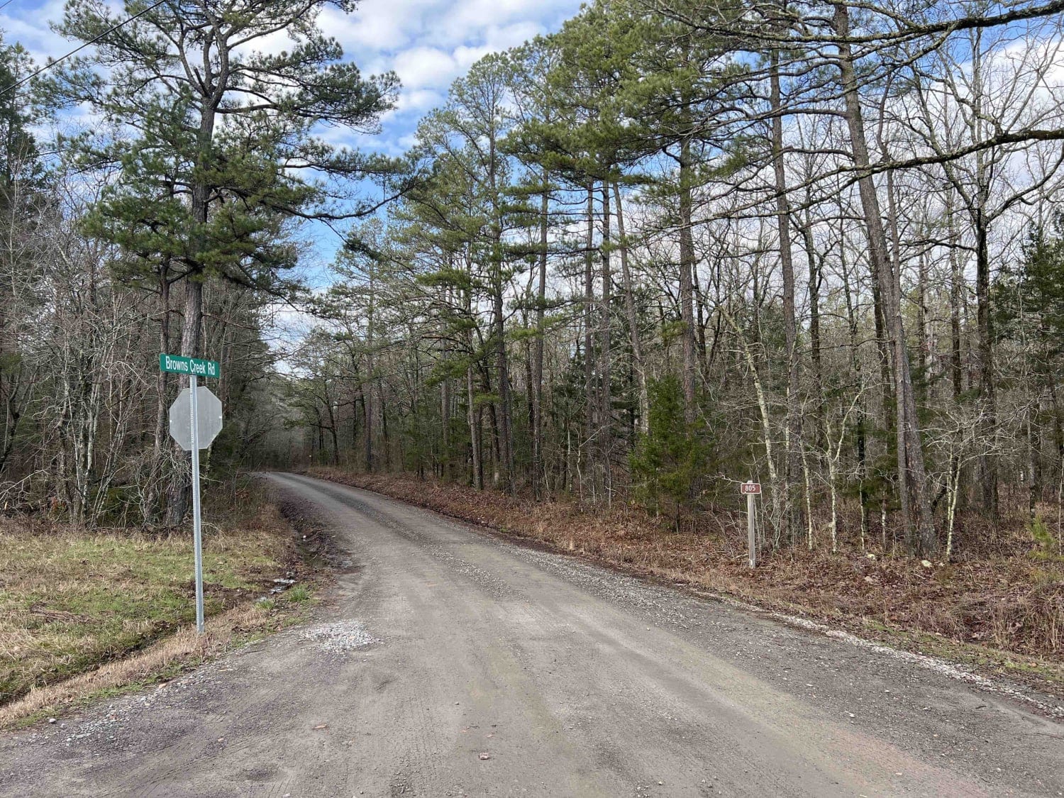
Brown Creek Road 805
Total Miles
7.9
Tech Rating
Easy
Best Time
Spring, Summer, Fall, Winter
Learn more about Brush Creek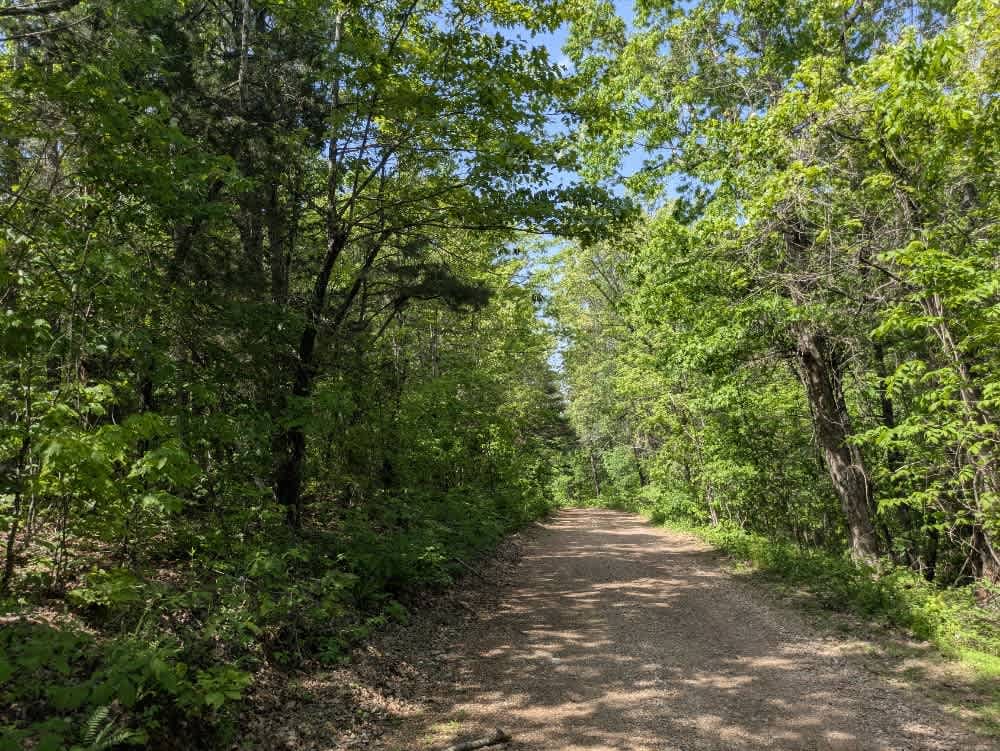
Brush Creek
Total Miles
7.8
Tech Rating
Easy
Best Time
Spring, Summer, Fall, Winter
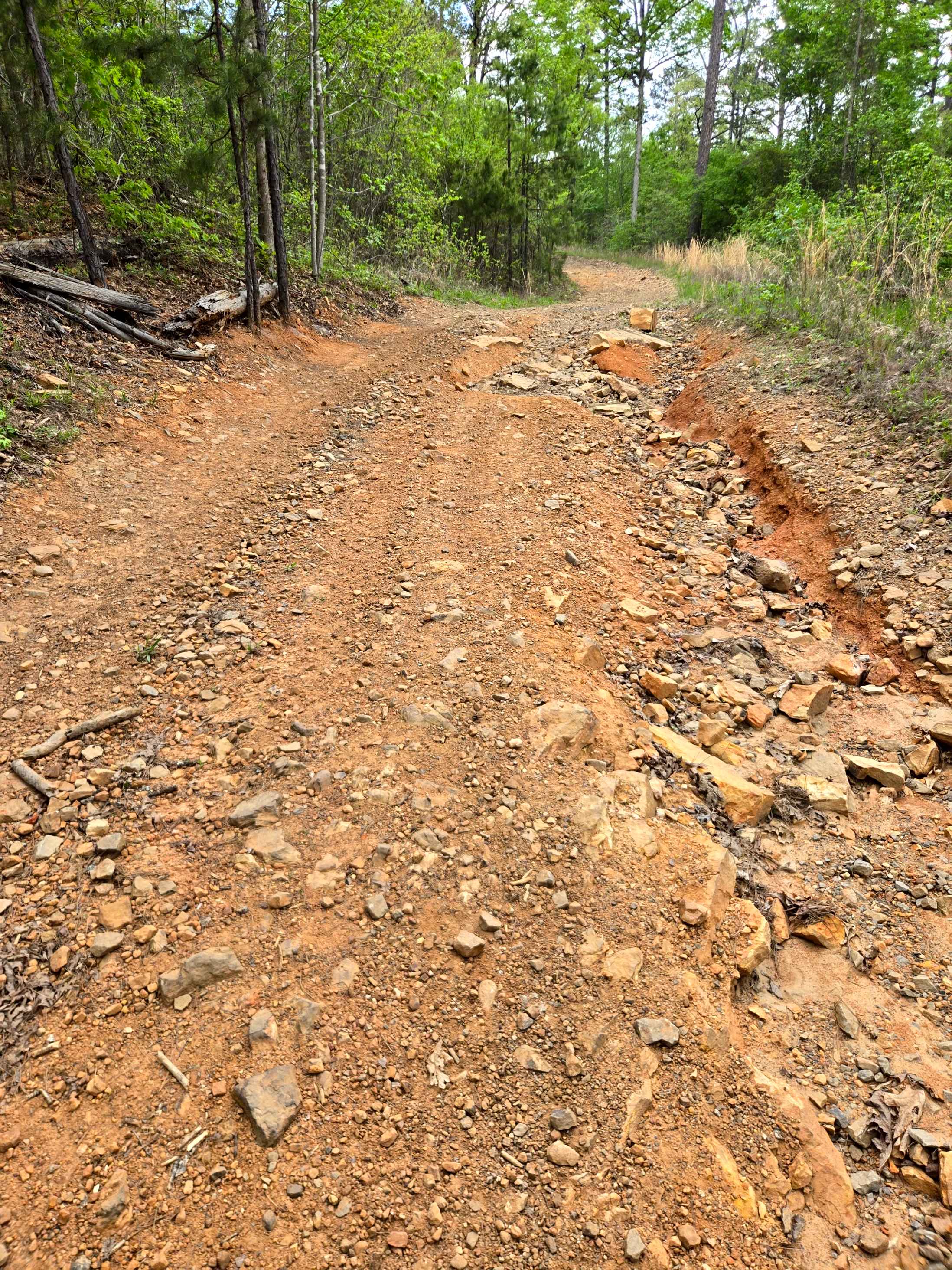
Learn more about Brushy Creek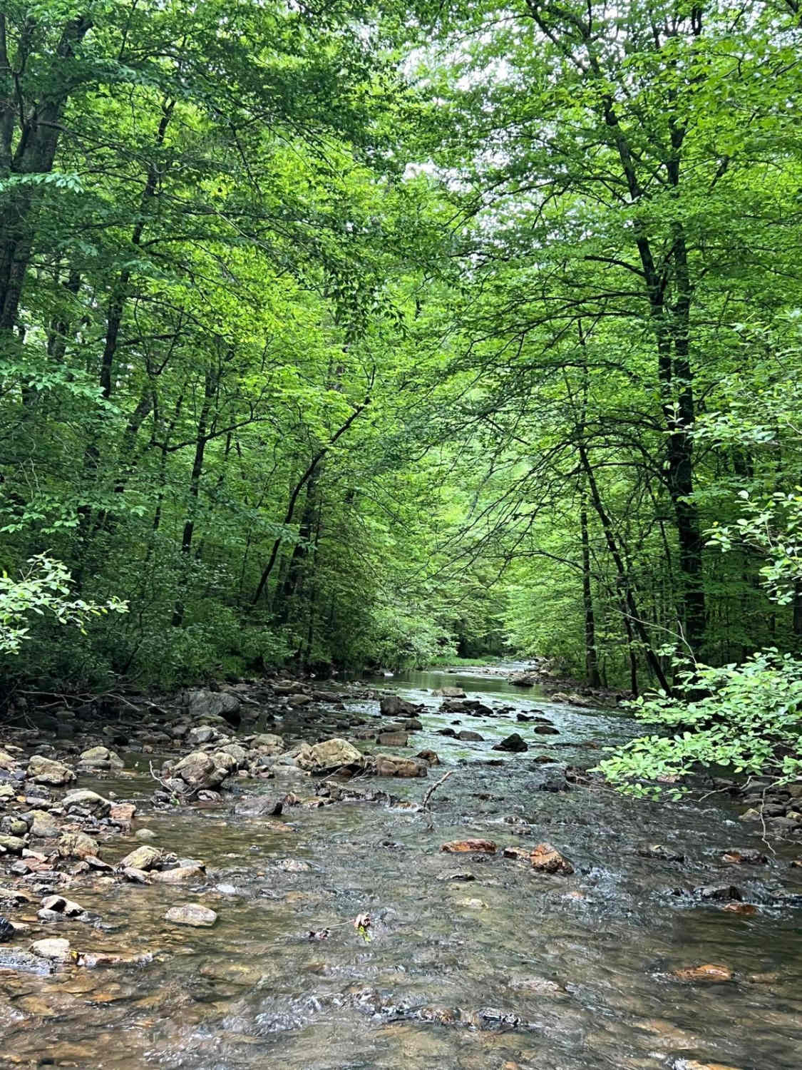
Brushy Creek
Total Miles
8.4
Tech Rating
Easy
Best Time
Spring, Summer, Fall, Winter
Learn more about Buck Valley
Buck Valley
Total Miles
5.1
Tech Rating
Easy
Best Time
Spring, Summer, Fall, Winter
Learn more about Buffalo Leaves the Forest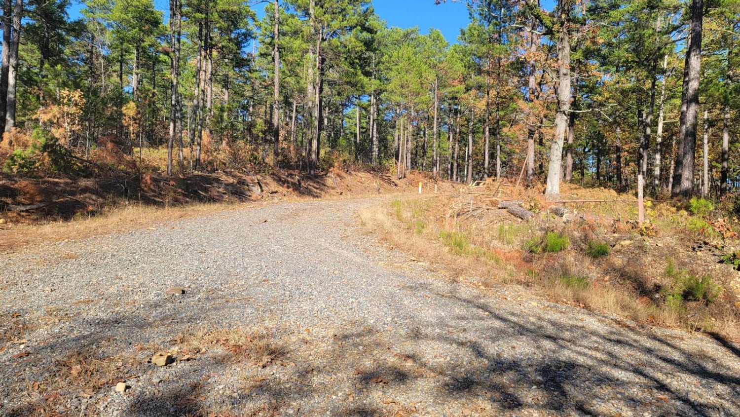
Buffalo Leaves the Forest
Total Miles
6.4
Tech Rating
Easy
Best Time
Spring, Summer, Fall, Winter
Learn more about Buffalo Leaves the Forrest
Buffalo Leaves the Forrest
Total Miles
6.4
Tech Rating
Easy
Best Time
Spring, Summer, Fall, Winter
Learn more about Bull Springs
Bull Springs
Total Miles
1.9
Tech Rating
Easy
Best Time
Spring, Summer, Winter, Fall
Learn more about Buzzard's Rock (Huckleberry Pond) - Trail 96022B
Buzzard's Rock (Huckleberry Pond) - Trail 96022B
Total Miles
1.2
Tech Rating
Easy
Best Time
Spring, Summer, Fall, Winter

Learn more about C10 Donnie's Hill (Top)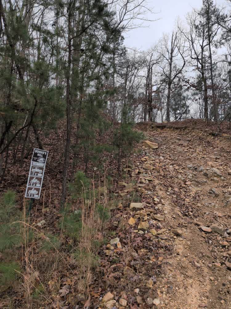
C10 Donnie's Hill (Top)
Total Miles
0.1
Tech Rating
Moderate
Best Time
Spring, Summer, Fall, Winter
Learn more about C12 The Zappasodi
C12 The Zappasodi
Total Miles
0.3
Tech Rating
Moderate
Best Time
Spring, Summer, Fall, Winter
Learn more about C18 Tanner's Hatchet
C18 Tanner's Hatchet
Total Miles
0.4
Tech Rating
Moderate
Best Time
Spring, Summer, Fall, Winter
Learn more about C3 Sesame Street
C3 Sesame Street
Total Miles
0.1
Tech Rating
Moderate
Best Time
Spring, Summer, Fall, Winter
ATV trails in Arkansas
Learn more about 1101 Road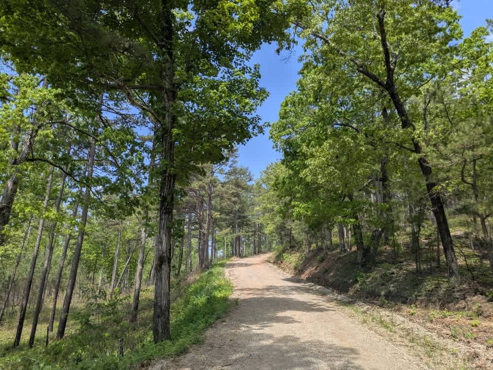
1101 Road
Total Miles
8.7
Tech Rating
Easy
Best Time
Summer, Winter, Fall, Spring
UTV/side-by-side trails in Arkansas
Learn more about 1101 Road
1101 Road
Total Miles
8.7
Tech Rating
Easy
Best Time
Summer, Winter, Fall, Spring
The onX Offroad Difference
onX Offroad combines trail photos, descriptions, difficulty ratings, width restrictions, seasonality, and more in a user-friendly interface. Available on all devices, with offline access and full compatibility with CarPlay and Android Auto. Discover what you’re missing today!