Brock 51
Total Miles
1.8
Technical Rating
Best Time
Spring, Fall, Winter, Summer
Trail Type
50" Trail
Accessible By
Trail Overview
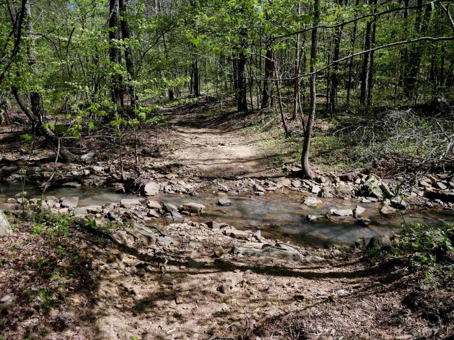
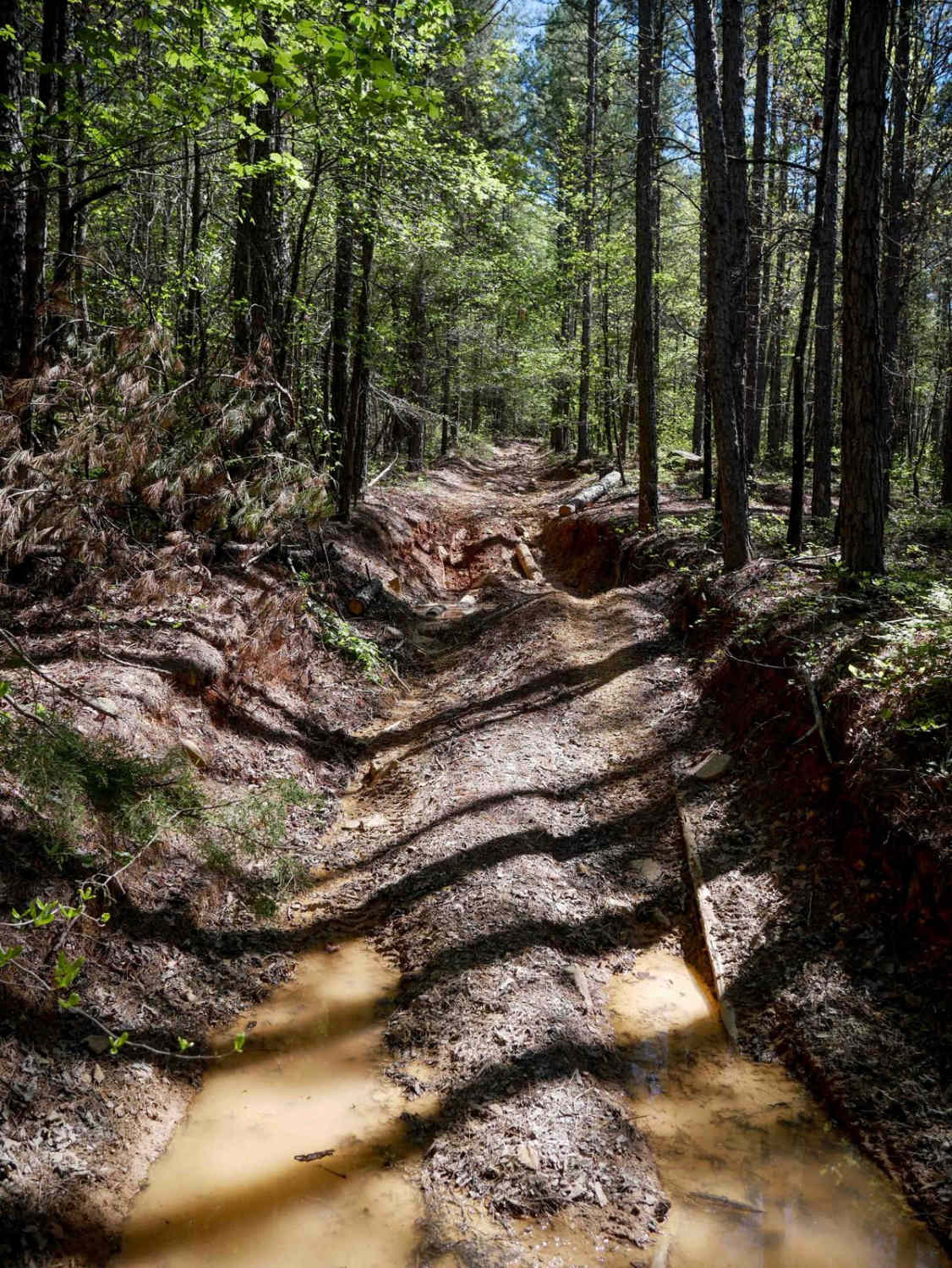
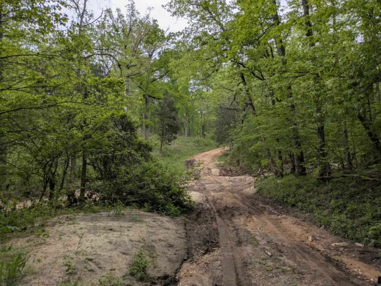
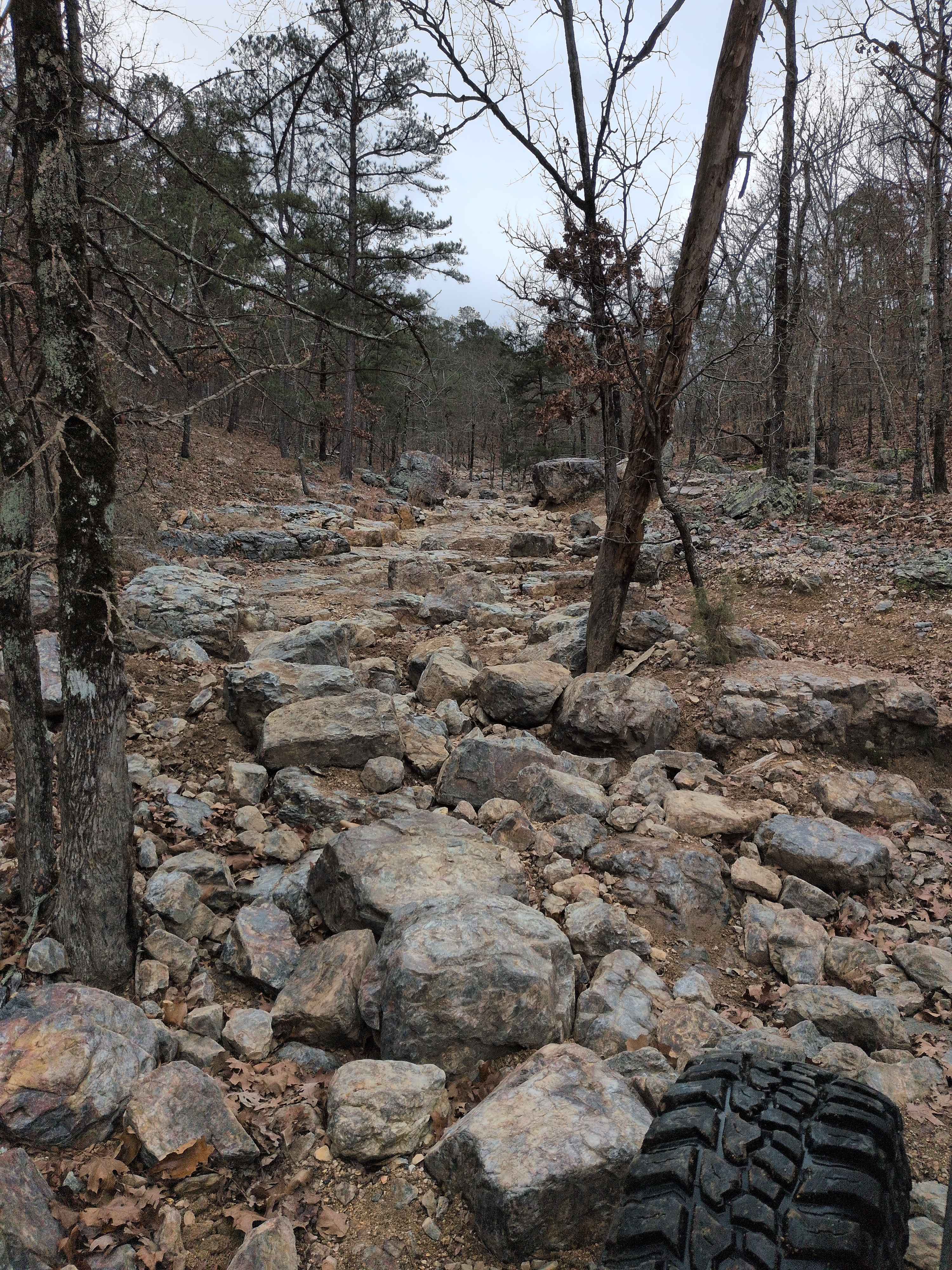
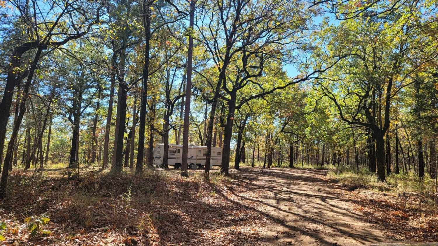
This wide two-track trail winds northeast through a scenic forest of dogwoods, offering a mix of dirt and loose rocky terrain. While generally accessible, riders should be aware that the southern entrance can flood after heavy rain, and some sections may be troughed out with mud puddles--though bypasses are available. The trail features smooth, shallow stream crossings and occasional small downed trees that are easy to navigate. As it progresses, the path includes a few steeper climbs and rockier surfaces, gaining 550 feet over almost 2 miles. It intersects with Trail 49 and ends at Road 1318. This is one of the first trail options from the southern staging point at Brock Creek Campground, and is a good option for connecting routes within the trail system.
Photos of Brock 51
Difficulty
This is an easy ATV trail with no major obstacles, but a few steeper spots, and frequent rocky surfaces.
Status Reports
Brock 51 can be accessed by the following ride types:
- ATV (50")
- Dirt Bike
Brock 51 Map
Popular Trails

F6 Snake Early Exit
Sandy Flats
F47 Shaffner's Hollow
The onX Offroad Difference
onX Offroad combines trail photos, descriptions, difficulty ratings, width restrictions, seasonality, and more in a user-friendly interface. Available on all devices, with offline access and full compatibility with CarPlay and Android Auto. Discover what you’re missing today!