Brush Creek
Total Miles
7.8
Technical Rating
Best Time
Spring, Summer, Fall, Winter
Trail Type
High-Clearance 4x4 Trail
Accessible By
Trail Overview
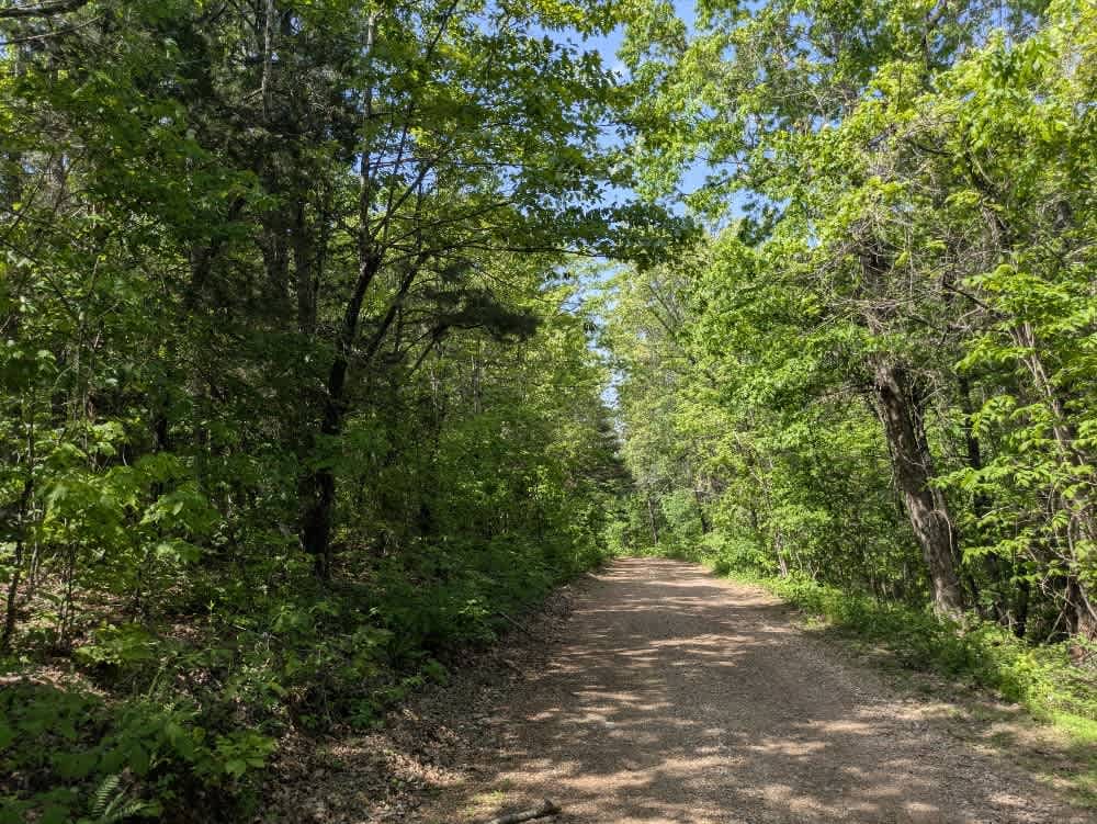
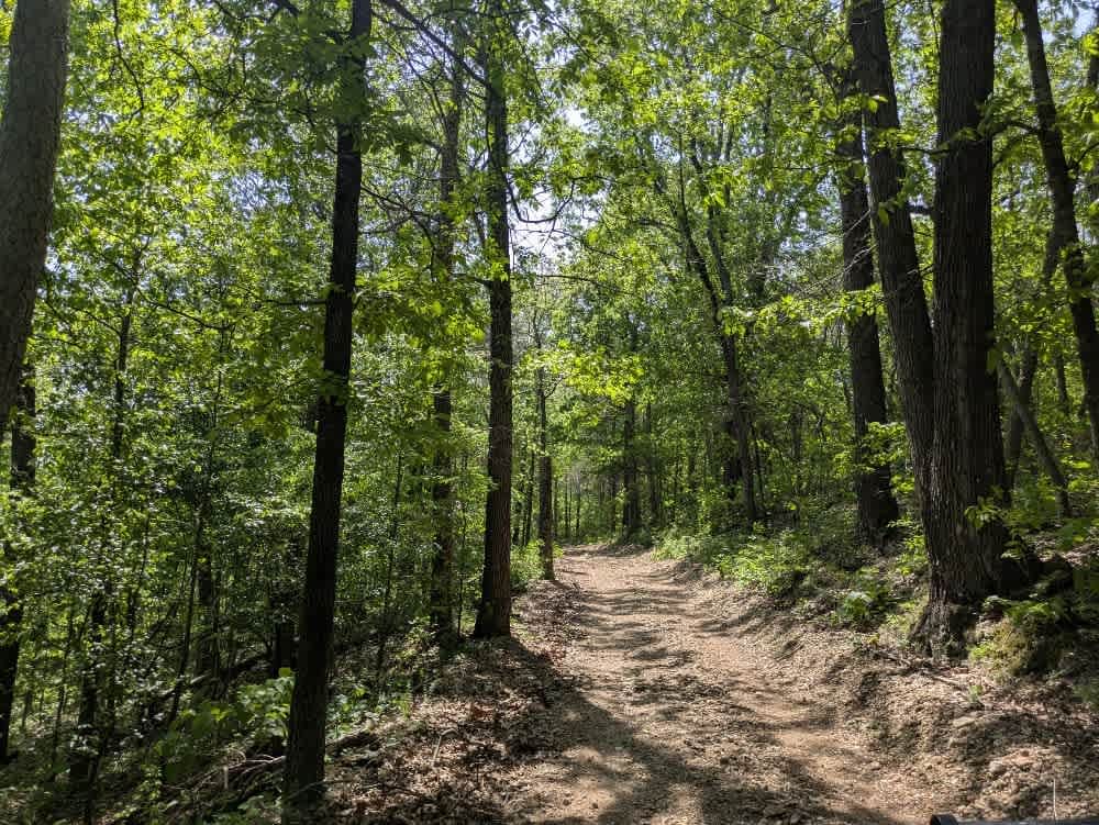
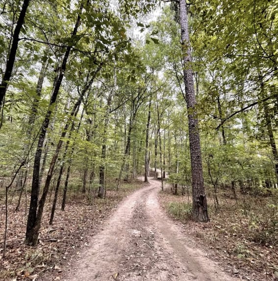
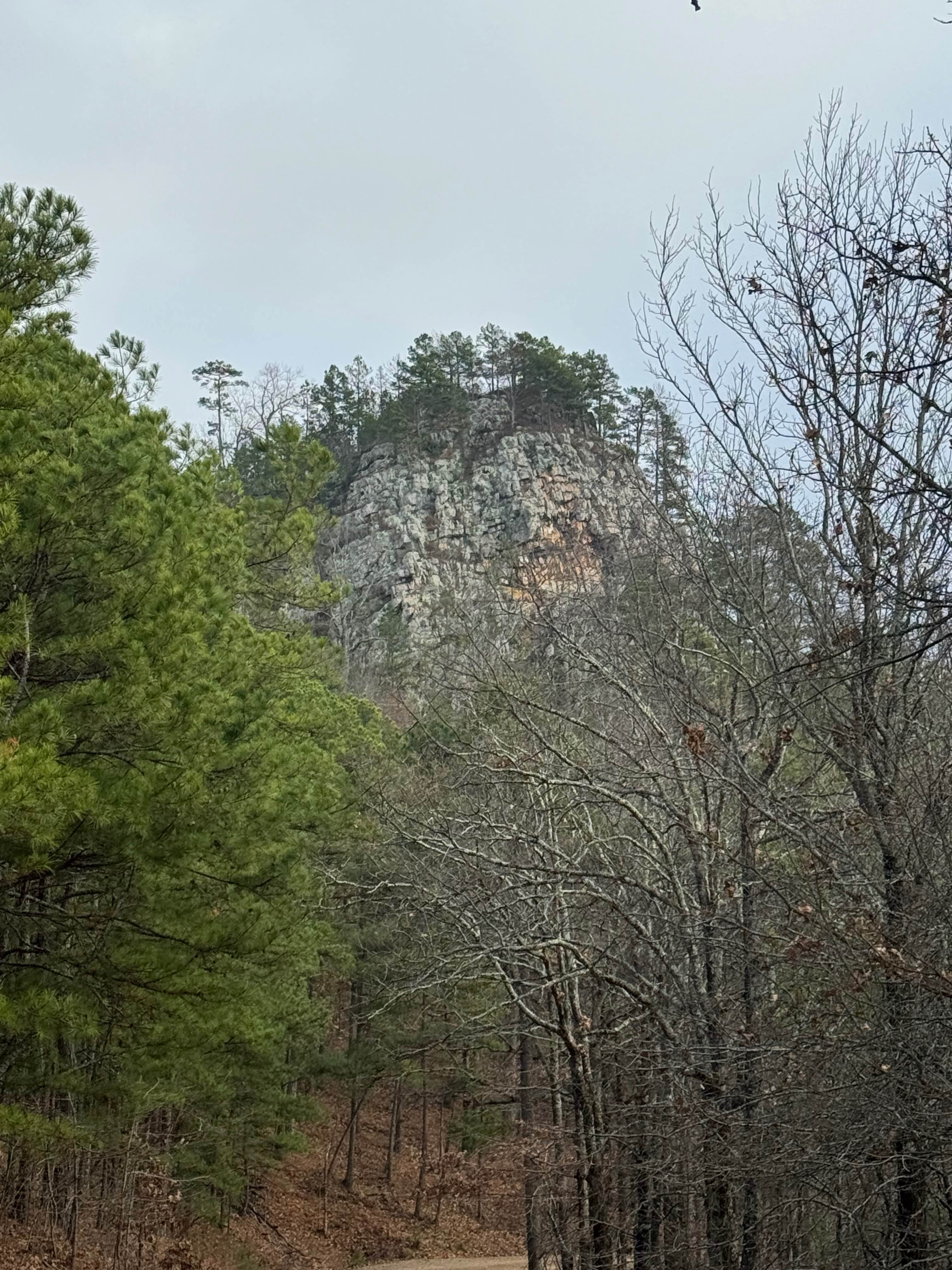
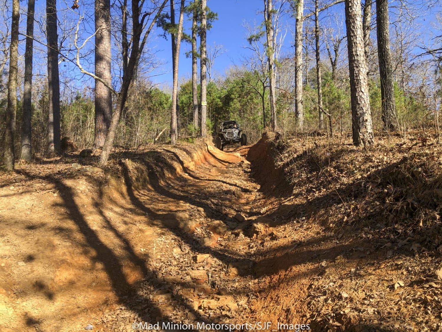
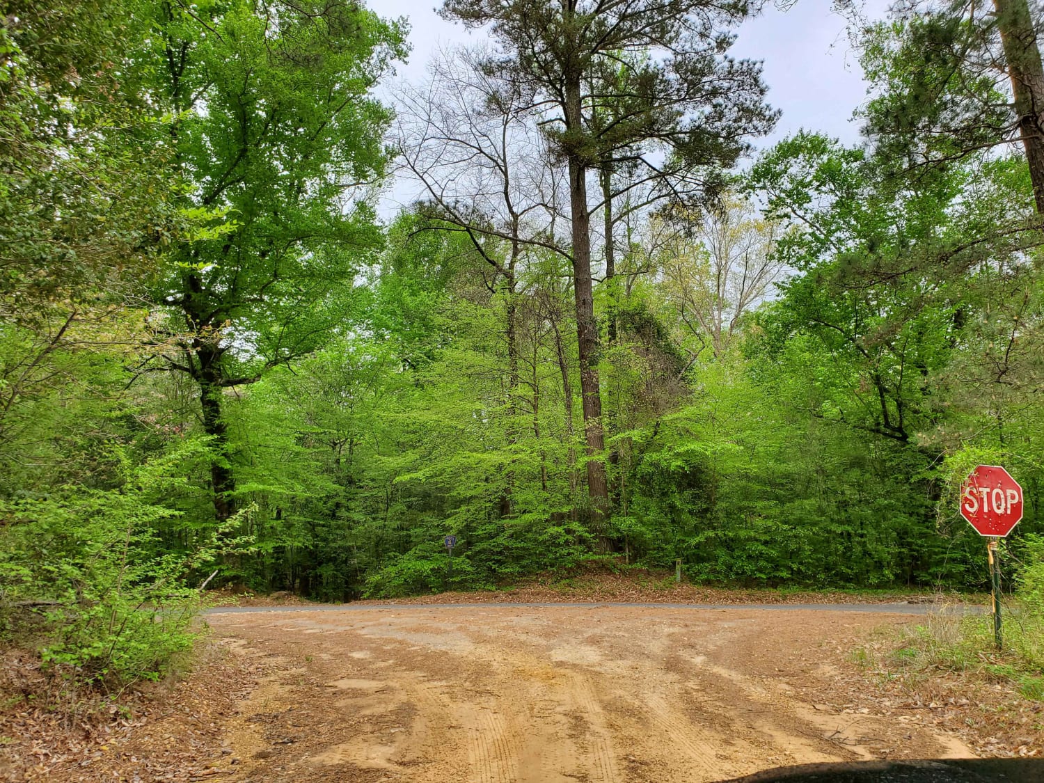
This trail consists mostly of well-maintained gravel but includes winding, muddy sections and off-camber stretches caused by storm damage. The route features several very steep ascents and descents, especially near the beginning, where it drops sharply from the paved road. Aside from one active ranch and a few side trails, there is little sign of regular traffic, and the trail becomes increasingly remote as you continue. It eventually ends at the Leatherwood Wilderness trailhead in the Ozark National Forest, which appears long-abandoned and unused by hikers. A flat, open area at the trailhead offers a good spot to camp, though there are no amenities such as trash disposal or water. Cell service is available.
Photos of Brush Creek
Difficulty
This is a maintained trail, but with very little traffic. There are a few off-camber sections, but they are easy enough for any novice.
Status Reports
Brush Creek can be accessed by the following ride types:
- High-Clearance 4x4
Brush Creek Map
Popular Trails
J18 Quartz Canyon
Mountain Creek Trail
The Arkansas Overland Route - Section 6 - Highway 278 to Highway 79
The onX Offroad Difference
onX Offroad combines trail photos, descriptions, difficulty ratings, width restrictions, seasonality, and more in a user-friendly interface. Available on all devices, with offline access and full compatibility with CarPlay and Android Auto. Discover what you’re missing today!