Burr Ridge
Total Miles
4.3
Technical Rating
Best Time
Spring, Summer, Fall
Trail Type
High-Clearance 4x4 Trail
Accessible By
Trail Overview
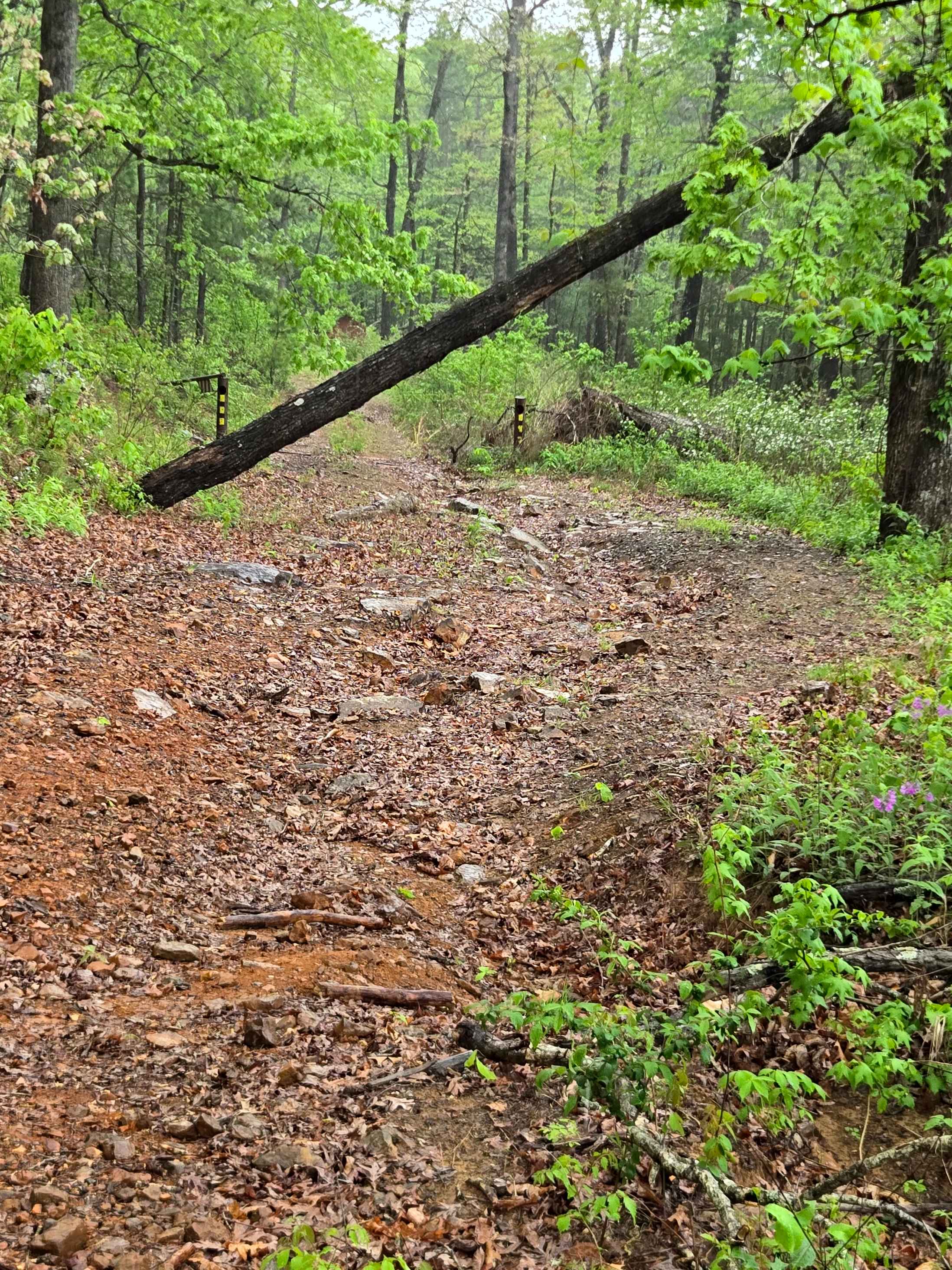
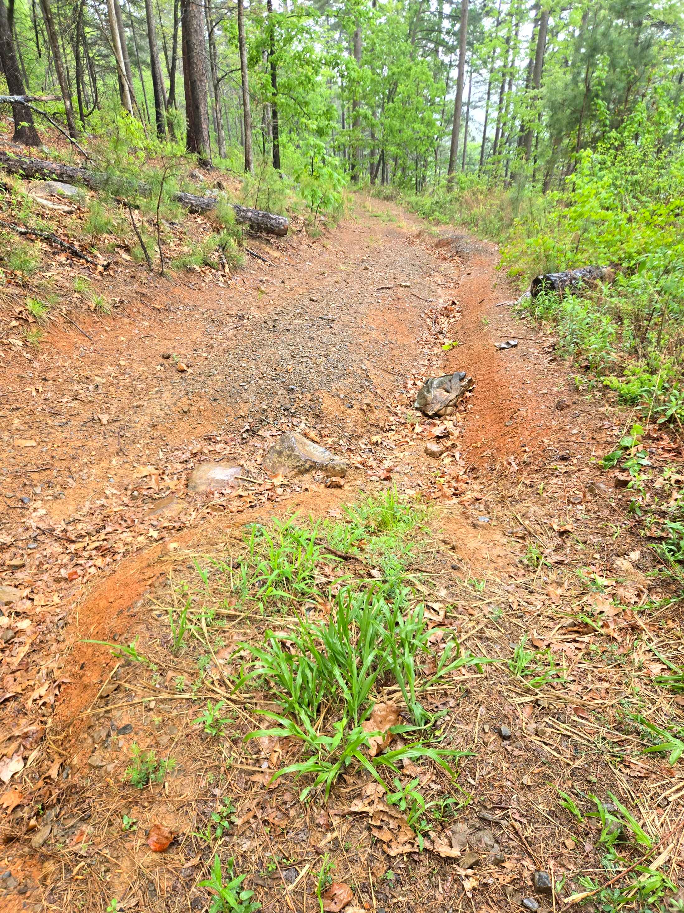
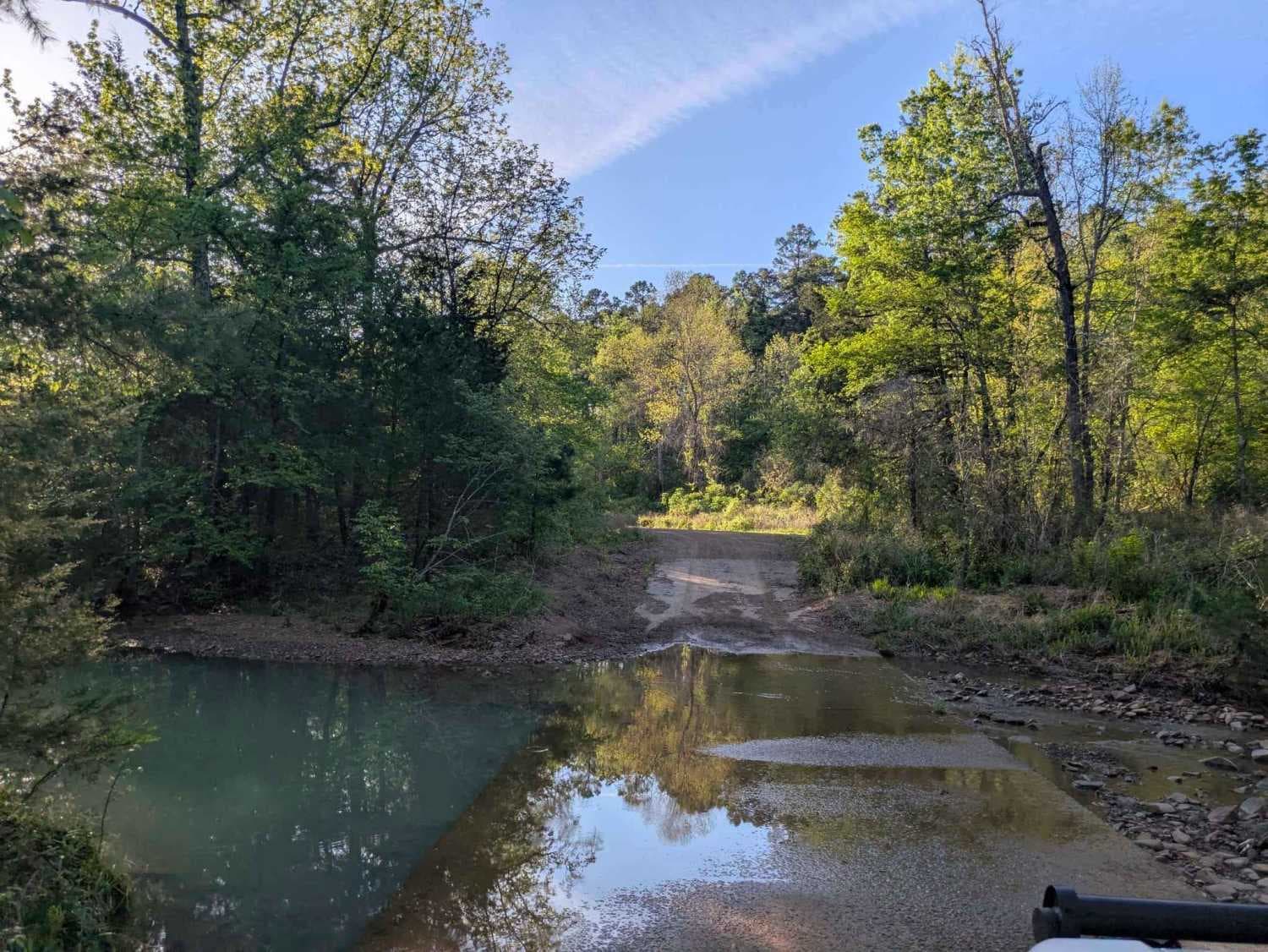
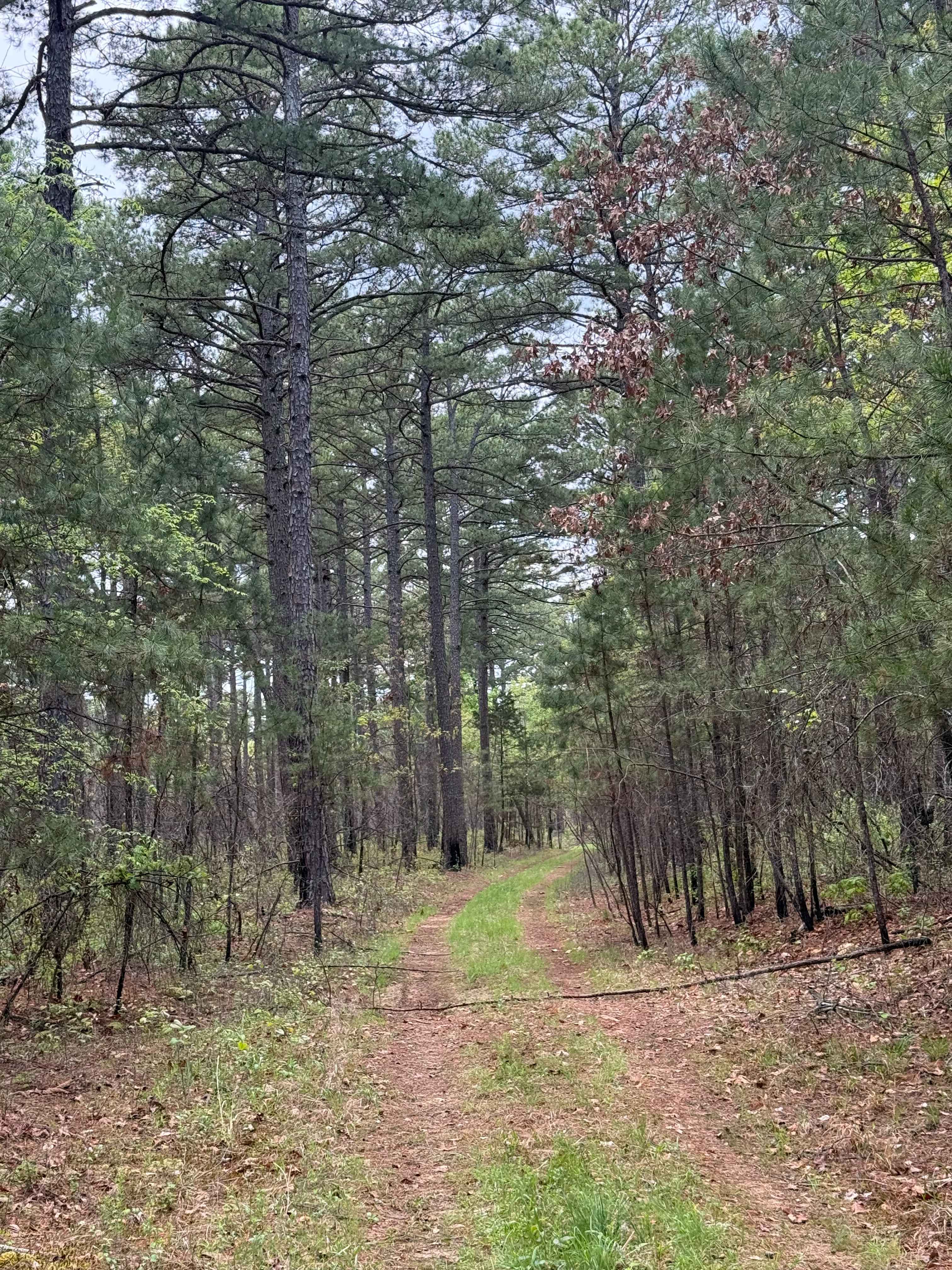
Burr Ridge Road is an easy to moderate ridgeline connector best suited for drivers looking for steady, elevated travel with consistent terrain and fewer water-related obstacles than nearby hollow routes. Beginning off Fern Mountain Road and running along a ridge above Long Branch Creek before tying into Bliss Ridge Road, this native surface route features a mix of dirt and embedded rock with occasional loose sections and shallow ruts. While technically open to all highway-legal vehicles, it is not maintained for passenger cars, and higher clearance is recommended to handle uneven patches and minor erosion. The mileage is moderate and flows well as part of a larger loop through this section of the Ozark-St. Francis National Forest, with gradual elevation changes rather than steep climbs. As the road follows the ridgeline, it narrows in places with limited passing opportunities and occasional off-camber stretches where erosion has cut into the chanaparh. Exposure increases along certain sections, with filtered views down toward Long Branch Creek and a more open feel compared to surrounding forest roads. Rain can make clay and loose rock slick, though this route generally remains more stable than creek-bottom alternatives, making it a reliable option when lower terrain is saturated. There are no developed facilities or consistent signage, and intersections with connecting roads like Bliss Ridge can be easy to miss without mapping tools. Burr Ridge works well as a scenic connector within the Fern Mountain area, but it's best suited for drivers comfortable navigating unmaintained ridge roads rather than those strictly seeking easy 4x4 trails in Arkansas.
Photos of Burr Ridge
Difficulty
Very steep technical climb with loose rocks and switchbacks.
Status Reports
Burr Ridge can be accessed by the following ride types:
- High-Clearance 4x4
- SxS (60")
- ATV (50")
- Dirt Bike
Burr Ridge Map
Popular Trails

Denton Creek Road
Shortcut Central

Kai Connector
The onX Offroad Difference
onX Offroad combines trail photos, descriptions, difficulty ratings, width restrictions, seasonality, and more in a user-friendly interface. Available on all devices, with offline access and full compatibility with CarPlay and Android Auto. Discover what you’re missing today!