A13
Total Miles
0.2
Technical Rating
Best Time
Summer, Fall, Spring, Winter
Trail Type
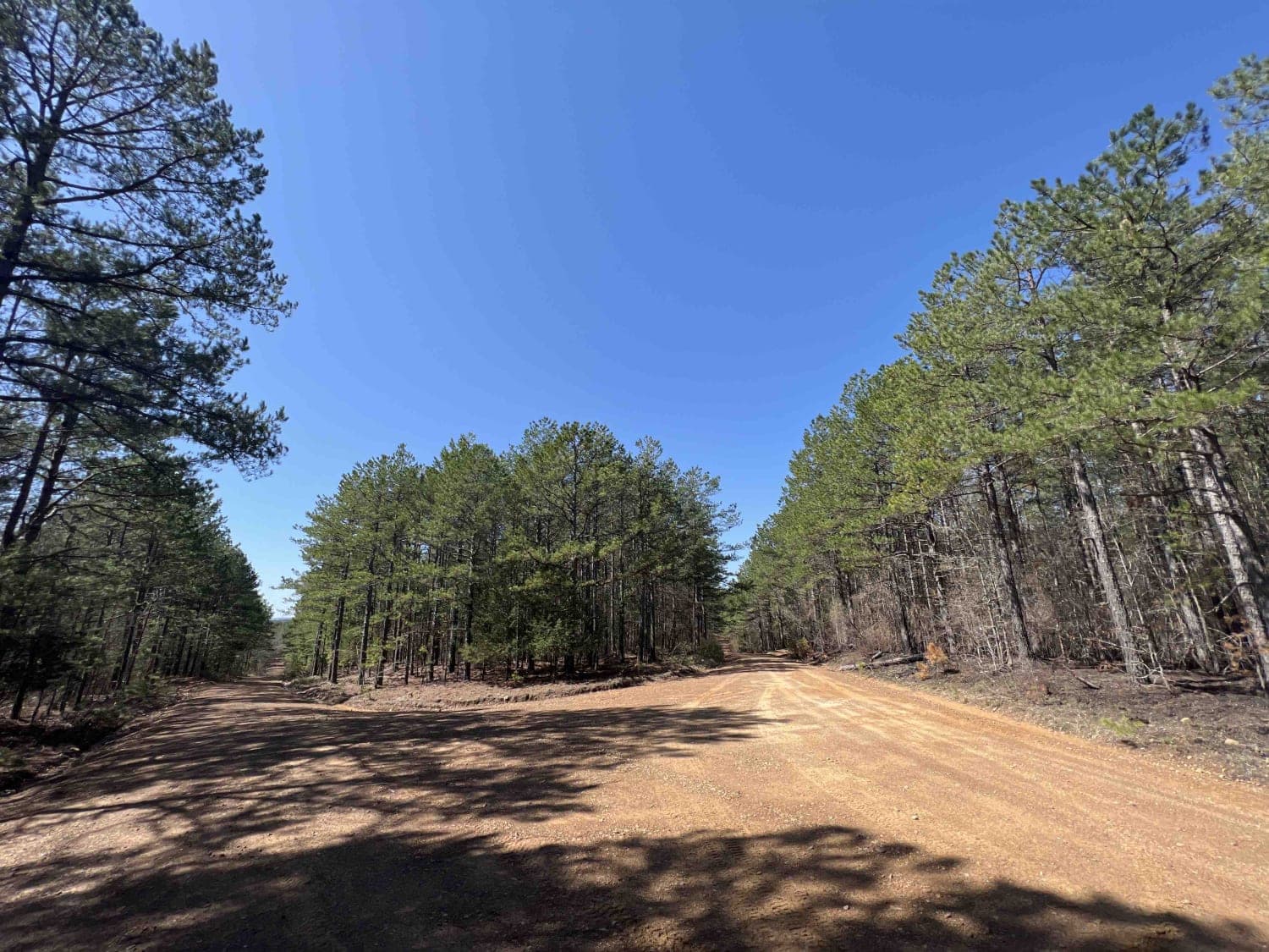
Full-Width Road
Accessible By
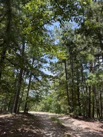
Trail Overview
A13 is a fun and easy trail that connects you to A4, A8, and the end of A25. This trail is mostly composed of loose small gravel following the ridge line of the mountain. A Park Day-Use Trail Pass is required to access this system of trails. Cell service is spotty in places, and trail conditions can change quickly, especially during rainy or winter seasons.
Photos of A13

Difficulty
A13 has two mud holes with a hard bottom. During rainy seasons, these could get deeper. There is some loose rock, but the trail is relatively smooth. This trail follows the ridge of the mountain, so steep drop-offs are possible on either side.
Status Reports
A13 can be accessed by the following ride types:
- High-Clearance 4x4
- SUV
- SxS (60")
- ATV (50")
- Dirt Bike
A13 Map
Popular Trails
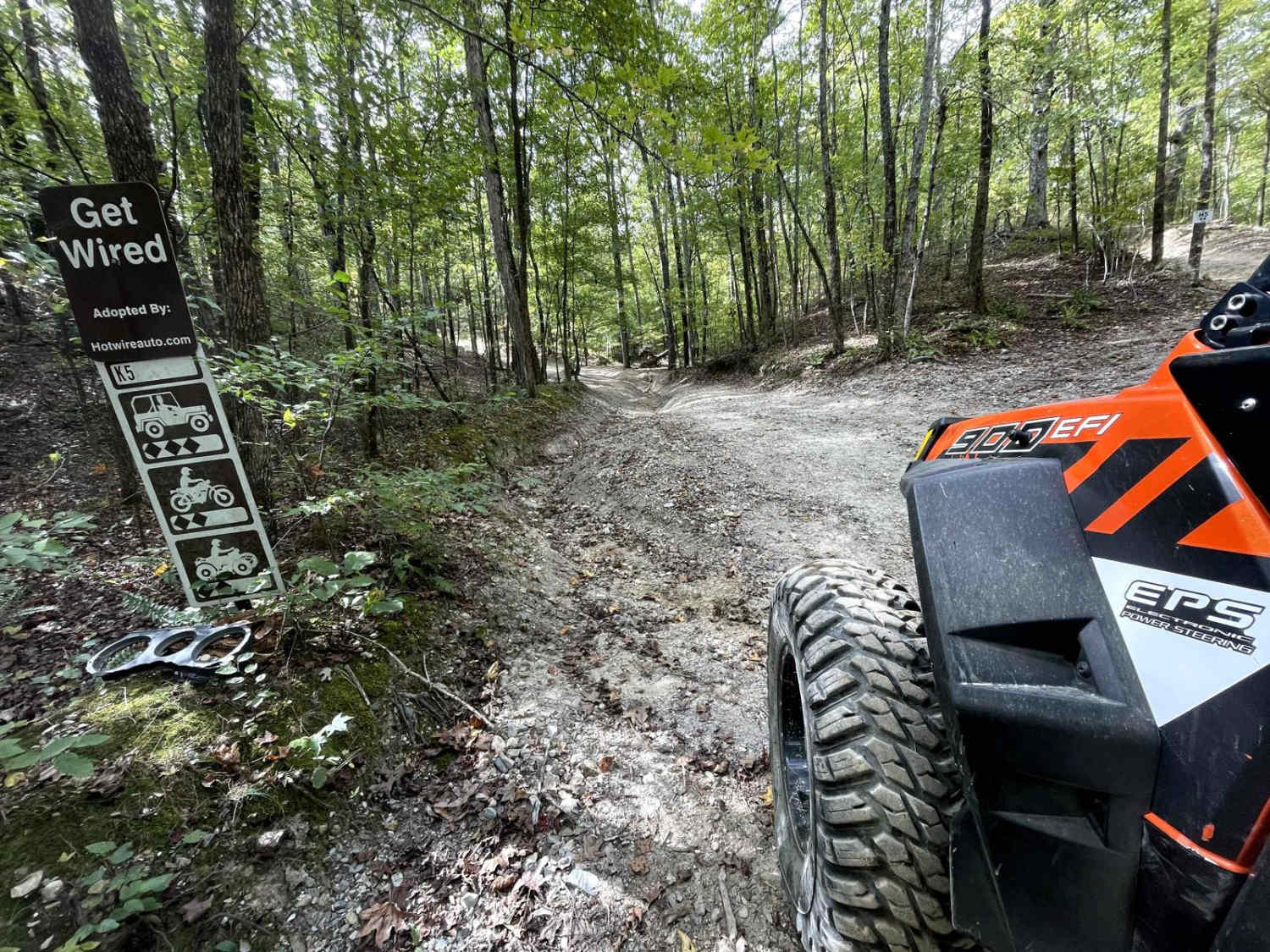
K5 Get Wired
Chula Mountain 4128

Tackett Mountain 1337

Gap Hollow Spur South 1
The onX Offroad Difference
onX Offroad combines trail photos, descriptions, difficulty ratings, width restrictions, seasonality, and more in a user-friendly interface. Available on all devices, with offline access and full compatibility with CarPlay and Android Auto. Discover what you’re missing today!