Tackett Mountain 1337
Total Miles
2.4
Technical Rating
Best Time
Spring, Summer, Winter, Fall
Trail Type
Full-Width Road
Accessible By
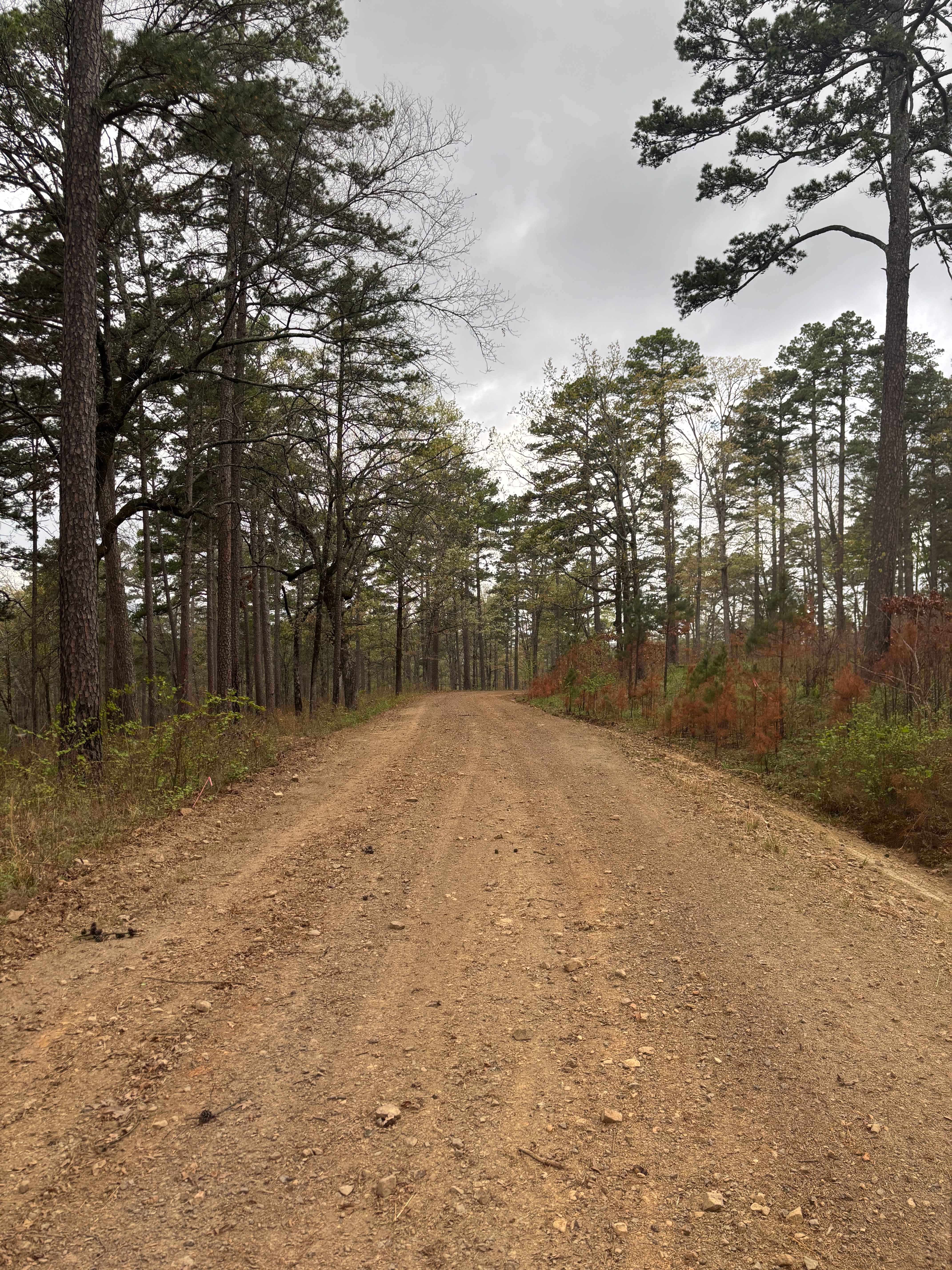
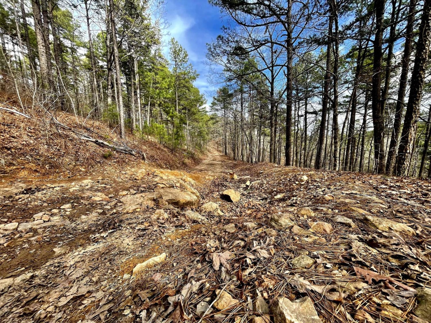
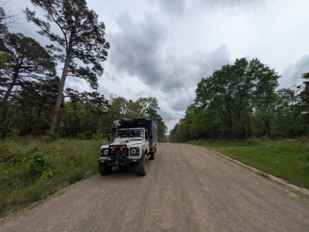
Trail Overview
Tackett Mountain Road is an easy, scenic gravel route that loops around Tackett Mountain and serves as a great connector between Rock Creek 1319 and Rock Creek Road. This is a relaxing drive with seasonal beauty, especially in the spring. The road is primarily well-maintained gravel, making for a smooth and accessible ride through the forest. It wraps around Tackett Mountain, offering a laid-back cruise with occasional views and access points into the surrounding trail system. Near the end of the route, drivers will find an optional moderate trail that climbs up Tackett Mountain, adding a bit of challenge for those wanting more than a simple gravel drive. The route is mostly a graded gravel road that is generally smooth, though minor washboarding is possible, and it is wide enough for easy passing in most areas. Along the way, there are occasional pull-offs and campsite access points. The surface is maintained gravel with minimal obstacles or technical features and gentle elevation changes. Most vehicles can handle this road in dry conditions without issue.
Photos of Tackett Mountain 1337

Difficulty
Maintained gravel surface with minimal obstacles or technical features. Gentle elevation changes. Most vehicles can handle this road in dry conditions without issue.
History
Tackett Mountain, located in the southeastern Ozarks of Arkansas, is likely named after early settler families with the Tackett/Tackitt surname who arrived in the region during the 1800s. Like many Ozark landmarks, it was recorded on early U.S. Geological Survey maps and has since served as a recognizable local high point. The surrounding area reflects the rich frontier history of the Ozarks, including pioneer settlement, small-scale farming, and forest use, giving the mountain both natural beauty and cultural significance.
Status Reports
Tackett Mountain 1337 can be accessed by the following ride types:
- High-Clearance 4x4
- SUV
- SxS (60")
- ATV (50")
- Dirt Bike
Tackett Mountain 1337 Map
Popular Trails
Muse Mountain Road

F54 Village Roll
Harker Valley Road
H31 Over the Hill
The onX Offroad Difference
onX Offroad combines trail photos, descriptions, difficulty ratings, width restrictions, seasonality, and more in a user-friendly interface. Available on all devices, with offline access and full compatibility with CarPlay and Android Auto. Discover what you’re missing today!