Brushy Creek
Total Miles
8.4
Technical Rating
Best Time
Spring, Summer, Fall, Winter
Trail Type
Full-Width Road
Accessible By
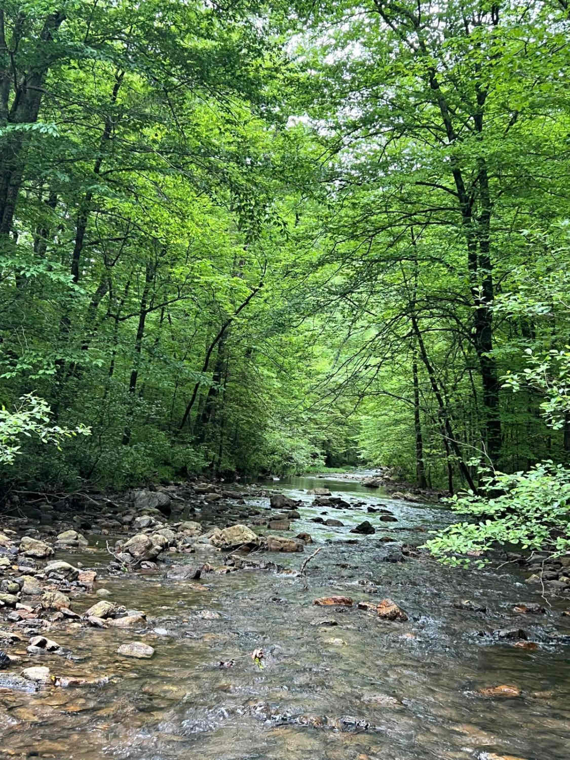
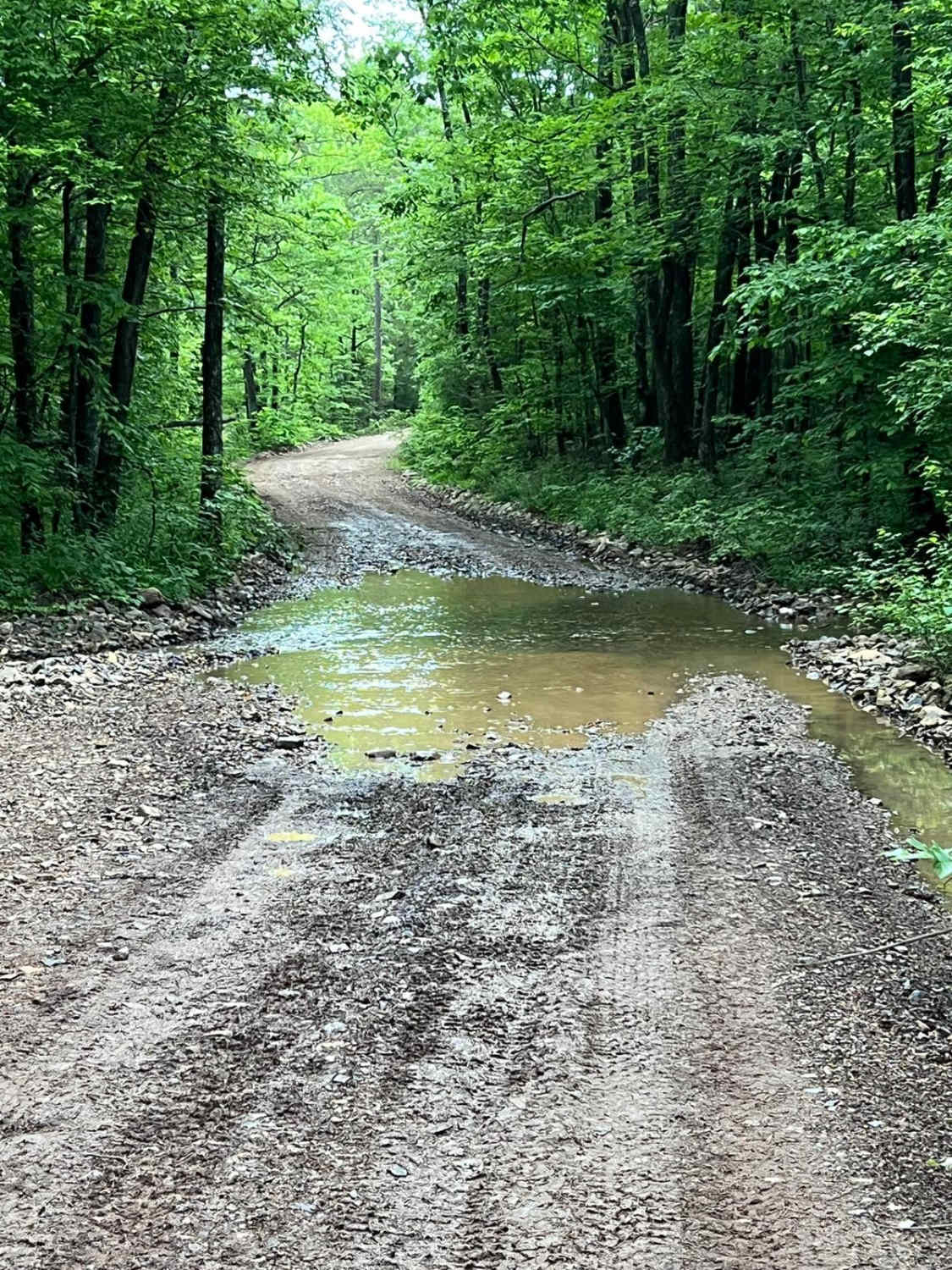
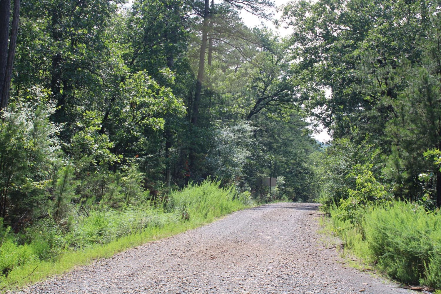
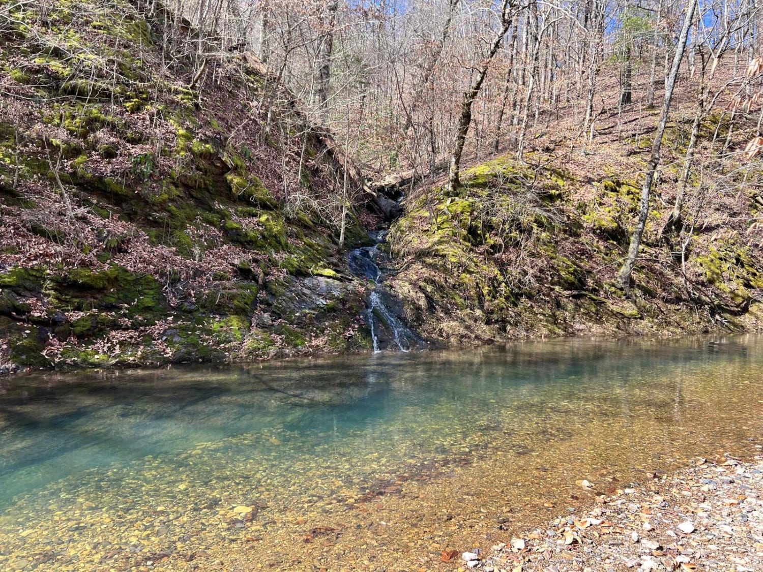
Trail Overview
This trail is dirt Forest Service roads that run through the interior of the Quachita National Forest. While traveling this route, you will make several creek crossings and follow alongside Brushy Creek for a portion of the trail. Verizon service is next to nothing along this route but is available in a couple of random spots, so download maps beforehand. This is an easy but remote route that can be run in either direction by any stock vehicle. The trail can become difficult to impossible during periods of heavy rain. Overall, this is an easy scenic route, great for taking pictures, viewing wildlife, and avoiding the crowds.
Photos of Brushy Creek
Difficulty
These are maintained dirt Forest Service roads that have little to no cell service along the way. They can become impassable during heavy rains and high winds could very likely put trees over the road.
Status Reports
Brushy Creek can be accessed by the following ride types:
- High-Clearance 4x4
- SUV
- SxS (60")
- ATV (50")
- Dirt Bike
Brushy Creek Map
Popular Trails

C7 Donnie's Hill (Bottom)
Girard Road to Sugar Creek Multi Use Trails
Sugar Creek

The onX Offroad Difference
onX Offroad combines trail photos, descriptions, difficulty ratings, width restrictions, seasonality, and more in a user-friendly interface. Available on all devices, with offline access and full compatibility with CarPlay and Android Auto. Discover what you’re missing today!