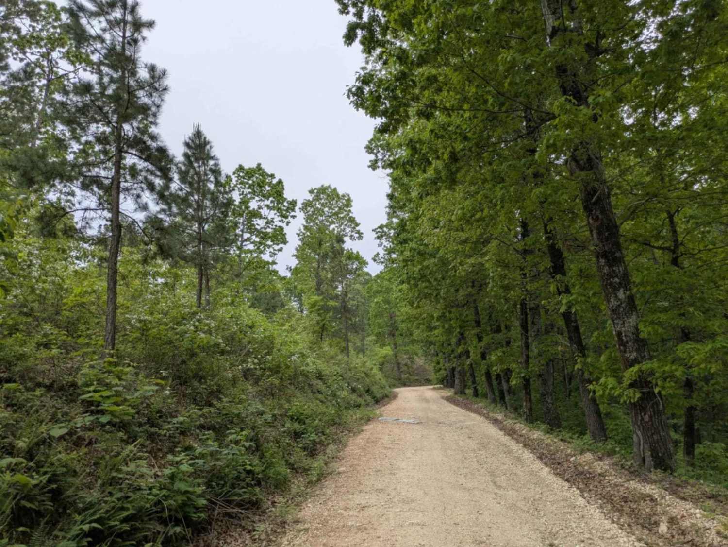
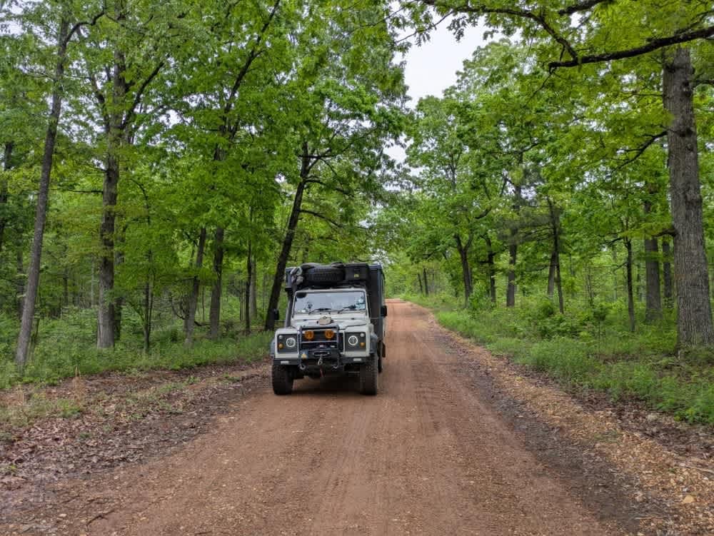
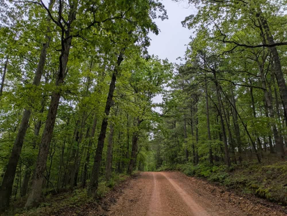
Off-Road Trails in Arkansas
Discover off-road trails in Arkansas
Learn more about B22 Waterfall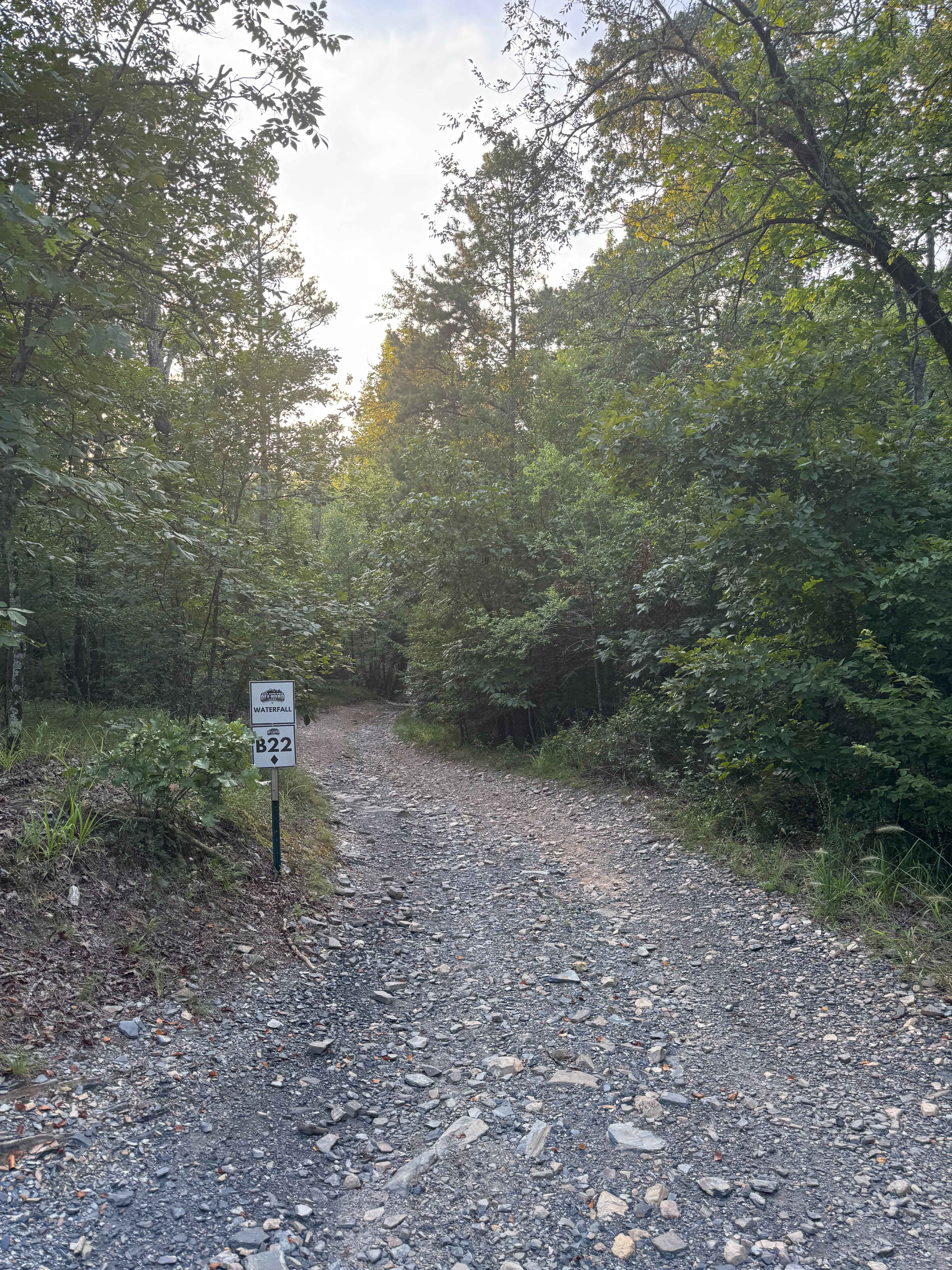
B22 Waterfall
Total Miles
0.2
Tech Rating
Easy
Best Time
Spring, Fall, Summer, Winter
Learn more about B4 Grand Cherokee Challenge
B4 Grand Cherokee Challenge
Total Miles
0.4
Tech Rating
Easy
Best Time
Spring, Summer, Fall, Winter
Learn more about B7 Beginner's Chance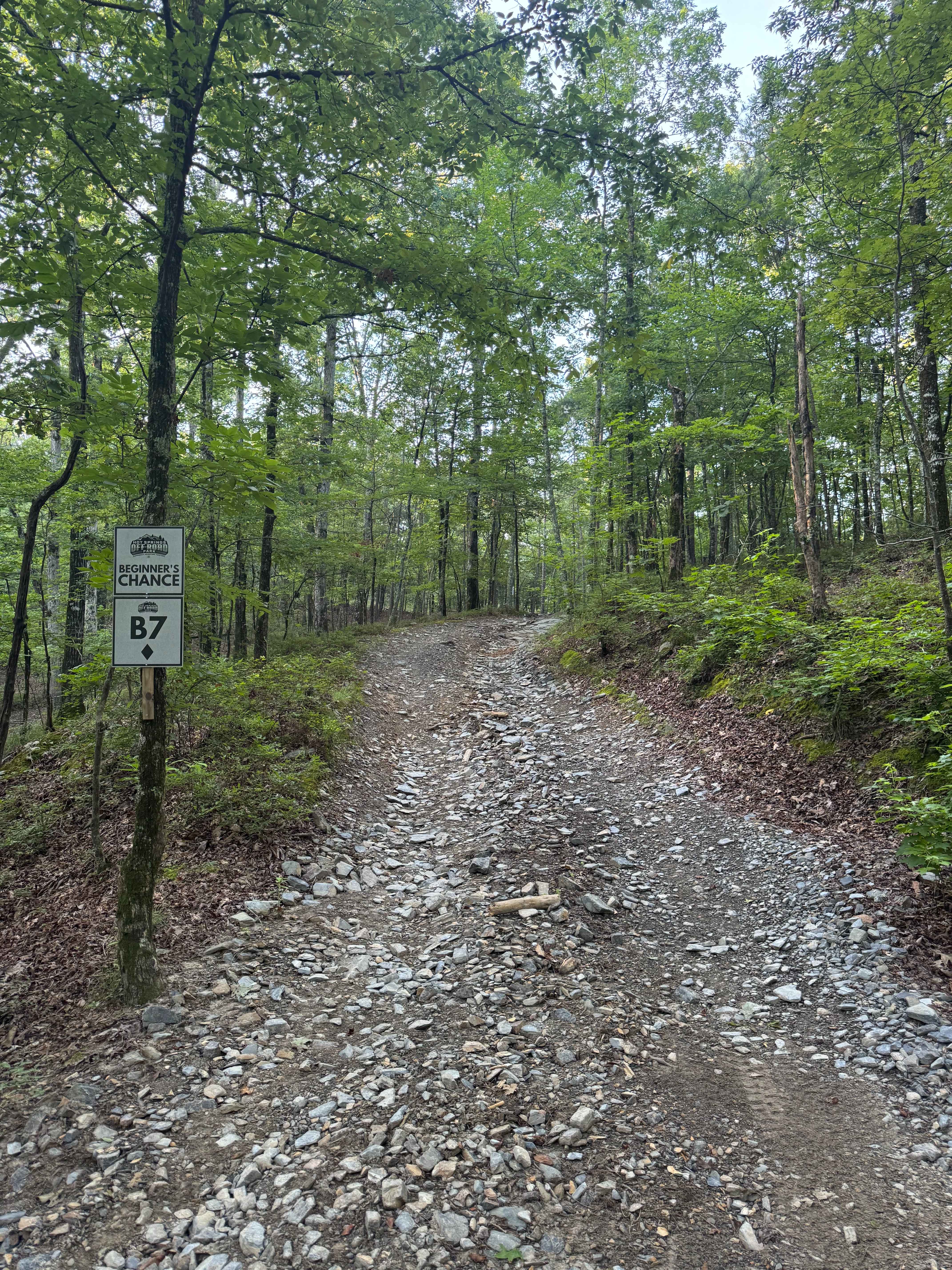
B7 Beginner's Chance
Total Miles
0.0
Tech Rating
Easy
Best Time
Spring, Summer, Fall, Winter
Learn more about Bamboo Bend
Bamboo Bend
Total Miles
0.2
Tech Rating
Easy
Best Time
Spring, Summer, Fall, Winter
Learn more about Barber Ridge Road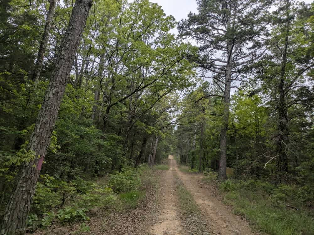
Barber Ridge Road
Total Miles
4.2
Tech Rating
Easy
Best Time
Spring, Summer, Winter, Fall
Learn more about Barkshed Road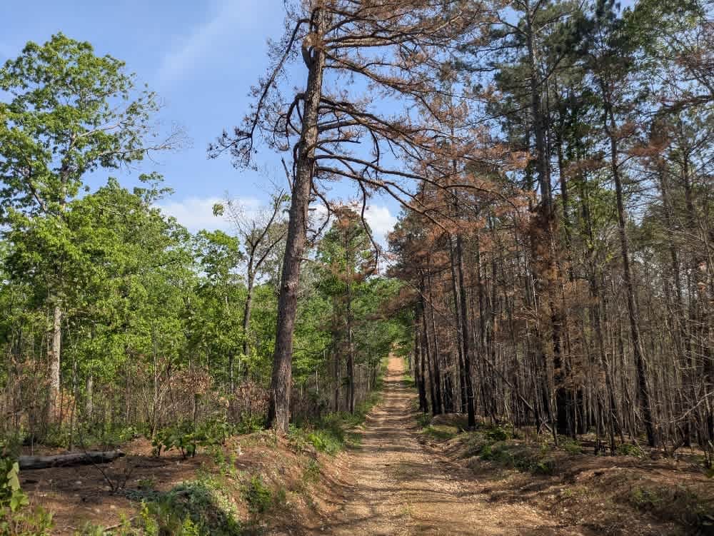
Barkshed Road
Total Miles
7.5
Tech Rating
Easy
Best Time
Summer, Fall, Winter, Spring
Learn more about Barnhart Road 796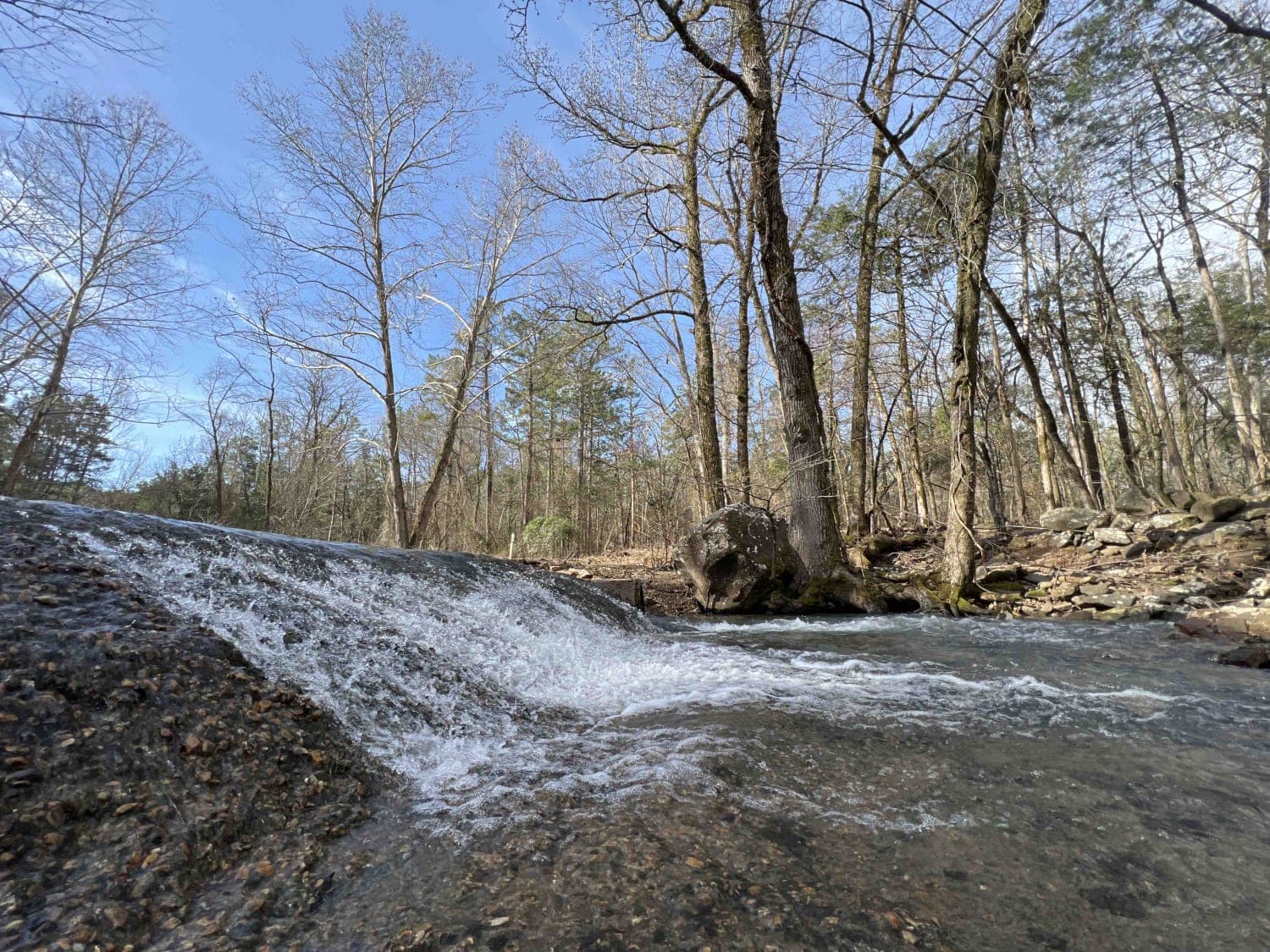
Barnhart Road 796
Total Miles
5.4
Tech Rating
Easy
Best Time
Spring, Fall, Winter
Learn more about Beach Grove Trail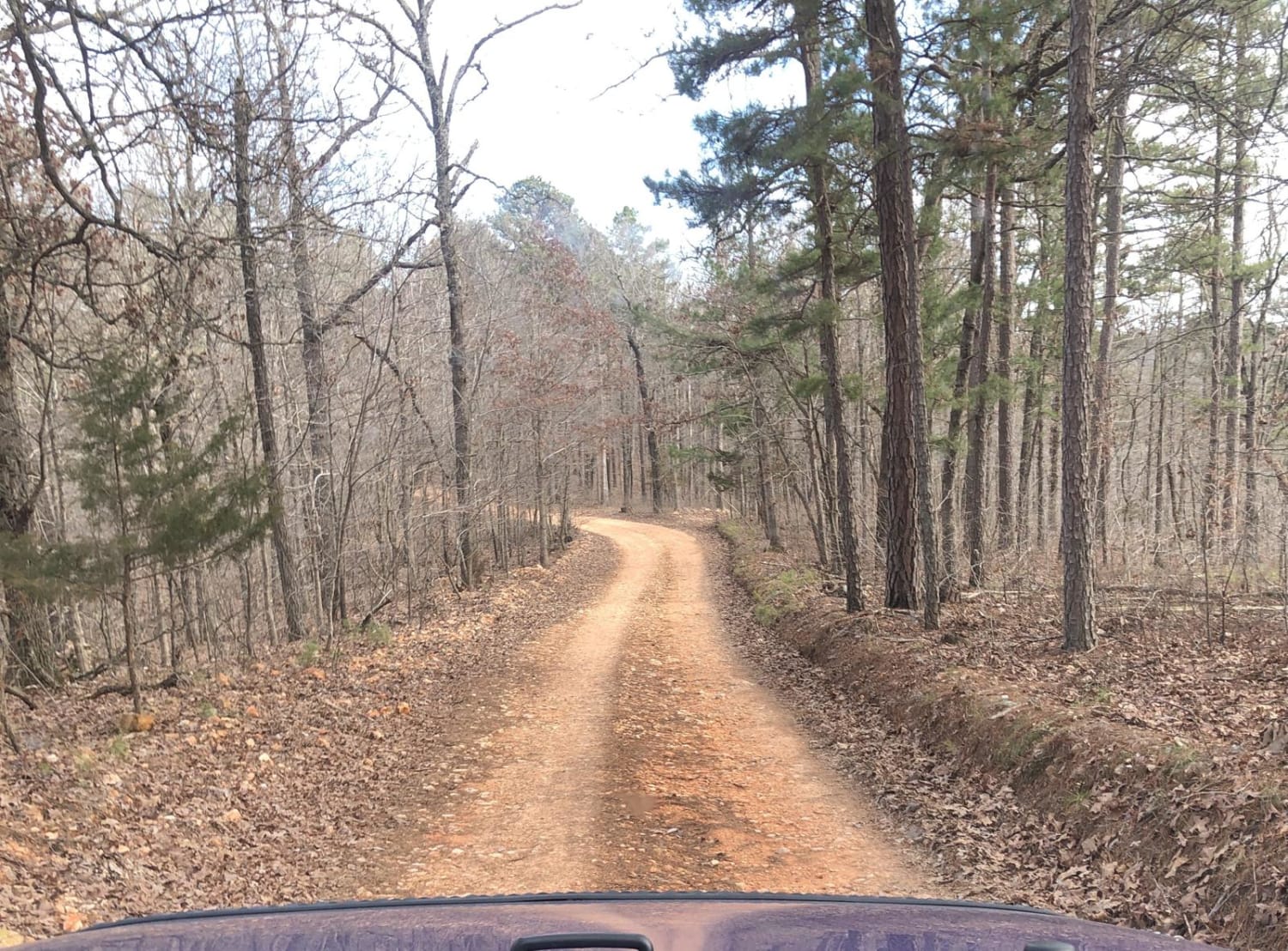
Beach Grove Trail
Total Miles
7.6
Tech Rating
Moderate
Best Time
Spring, Summer, Fall, Winter
Learn more about Bear Creek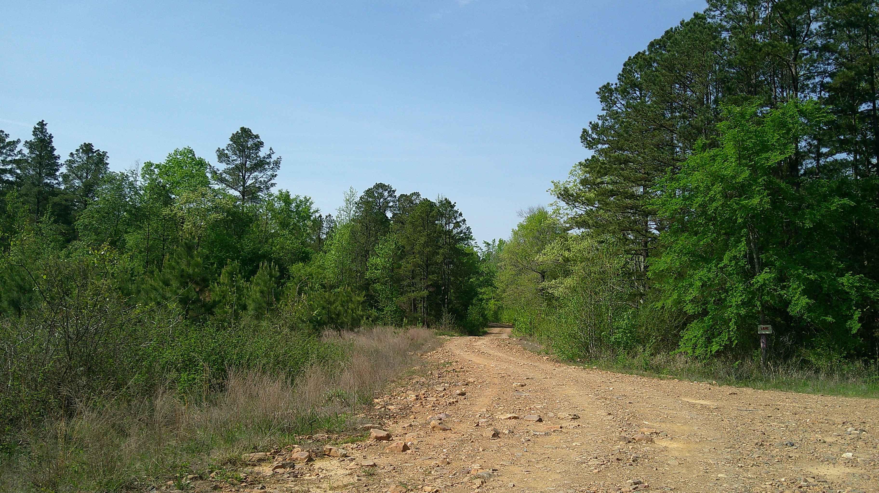
Bear Creek
Total Miles
5.8
Tech Rating
Easy
Best Time
Spring, Summer, Fall, Winter
Learn more about Bear Creek Mountain Road 773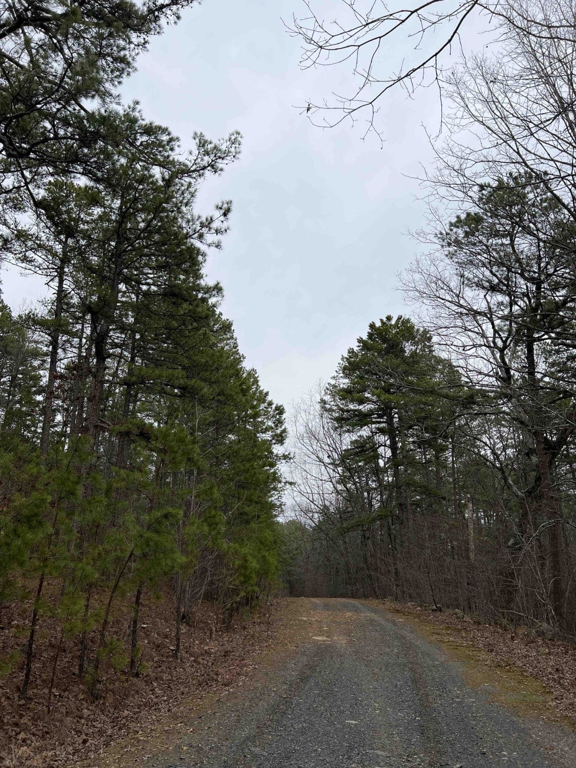
Bear Creek Mountain Road 773
Total Miles
3.2
Tech Rating
Easy
Best Time
Spring, Summer, Fall, Winter
Learn more about Bear Creek Trail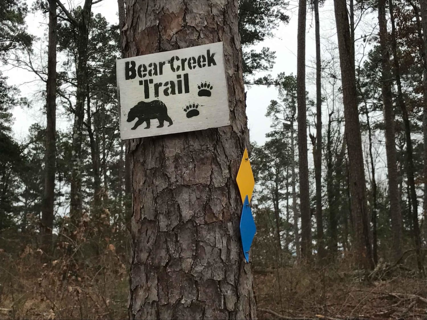
Bear Creek Trail
Total Miles
6.3
Tech Rating
Moderate
Best Time
Spring, Summer, Fall, Winter
Learn more about Bear Hollow - Trail 1627
Bear Hollow - Trail 1627
Total Miles
2.2
Tech Rating
Easy
Best Time
Spring, Summer, Fall
Learn more about Bee Branch Road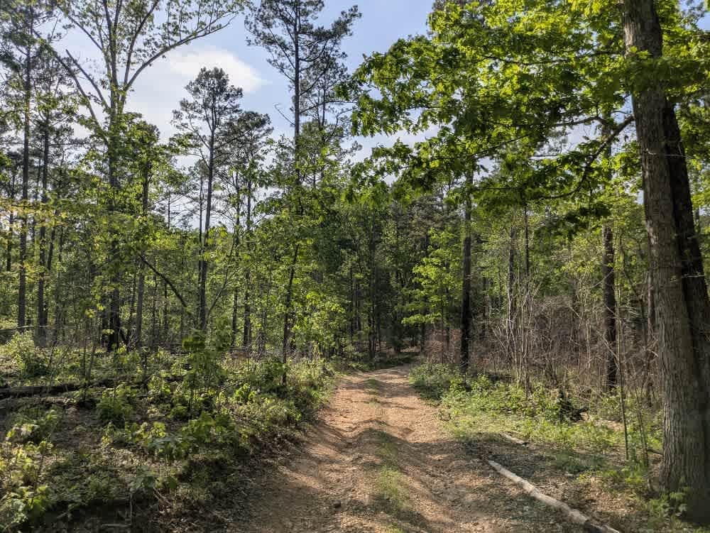
Bee Branch Road
Total Miles
1.5
Tech Rating
Easy
Best Time
Spring, Summer, Winter, Fall
Learn more about Bee Mountain Lookout Trail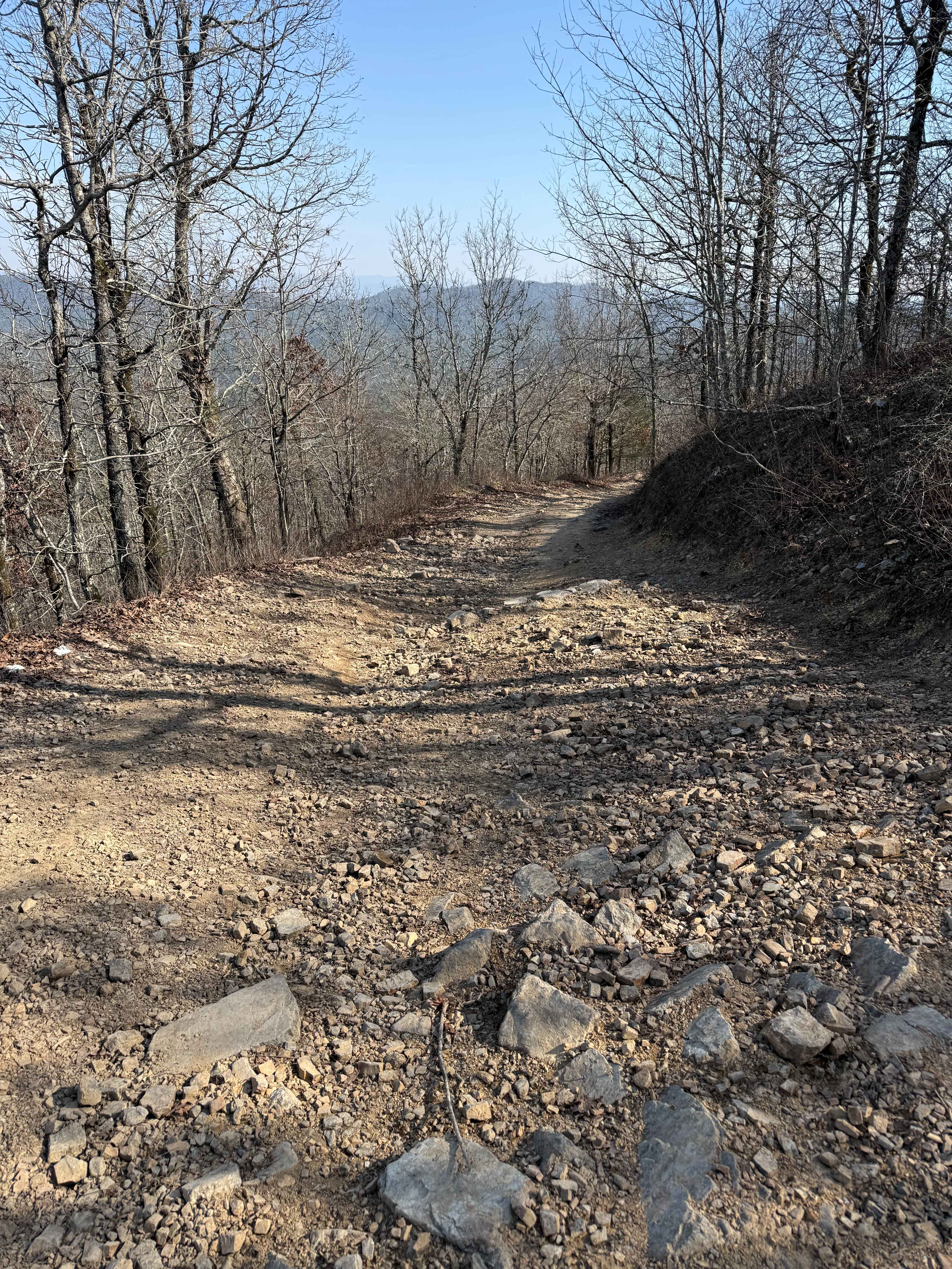
Bee Mountain Lookout Trail
Total Miles
0.6
Tech Rating
Moderate
Best Time
Spring, Summer, Fall
Learn more about Beindorf
Beindorf
Total Miles
7.0
Tech Rating
Difficult
Best Time
Spring, Summer, Fall, Winter
Learn more about Bell Lake Access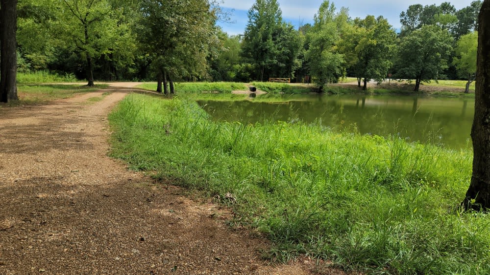
Bell Lake Access
Total Miles
1.4
Tech Rating
Easy
Best Time
Spring, Summer, Fall, Winter
Learn more about Big Athens Fork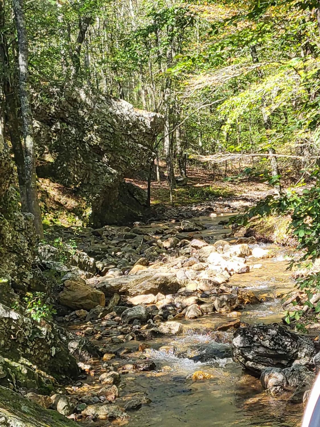
Big Athens Fork
Total Miles
5.1
Tech Rating
Easy
Best Time
Spring, Summer, Fall, Winter
Learn more about Big Bee Ridge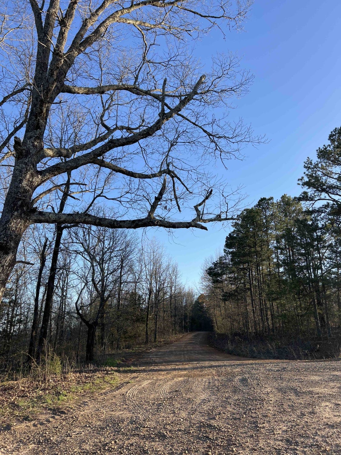
Big Bee Ridge
Total Miles
3.8
Tech Rating
Moderate
Best Time
Spring, Fall, Winter
ATV trails in Arkansas
Learn more about 1101 Road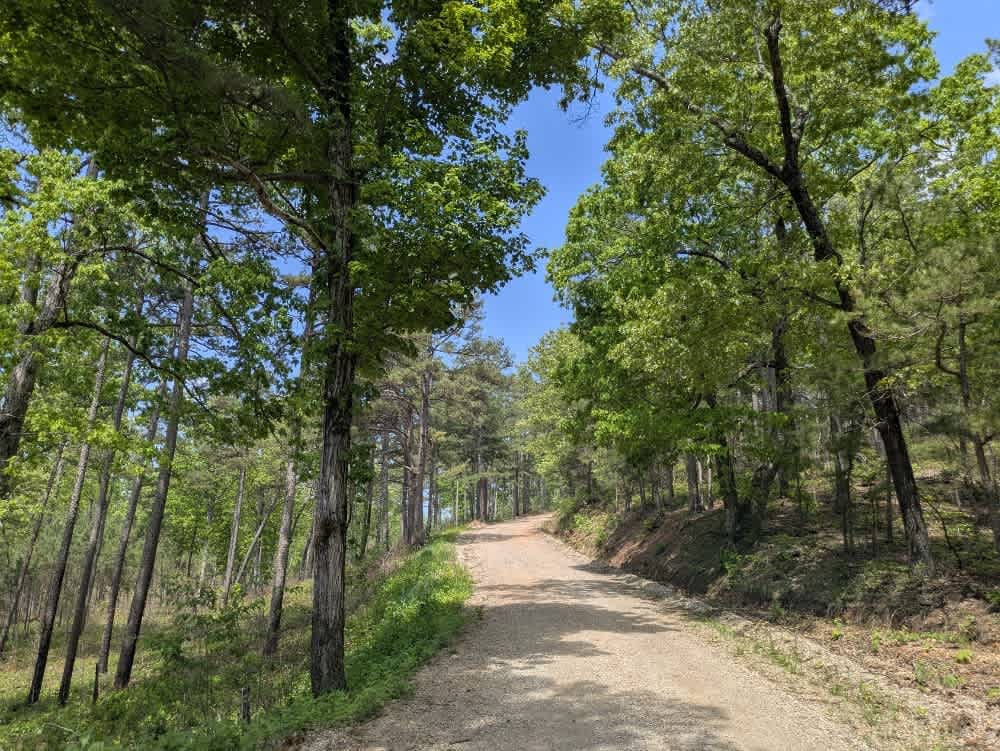
1101 Road
Total Miles
8.7
Tech Rating
Easy
Best Time
Summer, Winter, Fall, Spring
UTV/side-by-side trails in Arkansas
Learn more about 1101 Road
1101 Road
Total Miles
8.7
Tech Rating
Easy
Best Time
Summer, Winter, Fall, Spring
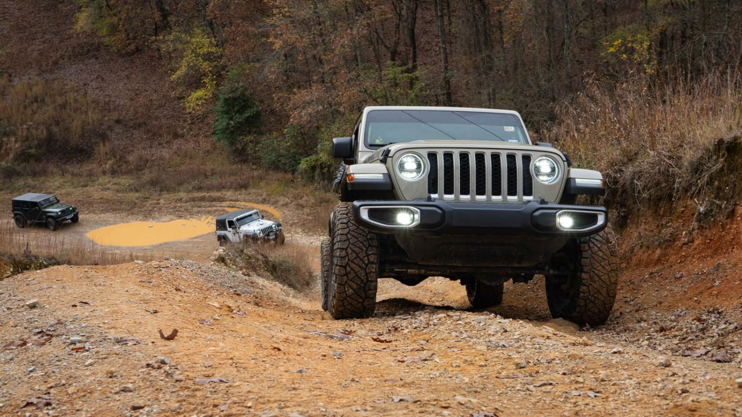
The onX Offroad Difference
onX Offroad combines trail photos, descriptions, difficulty ratings, width restrictions, seasonality, and more in a user-friendly interface. Available on all devices, with offline access and full compatibility with CarPlay and Android Auto. Discover what you’re missing today!