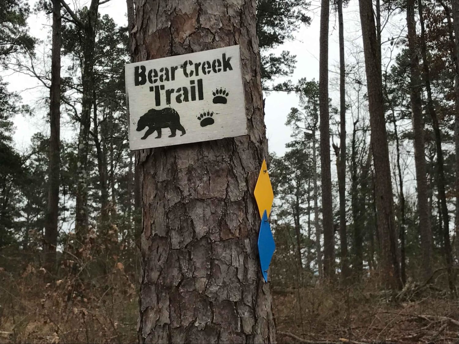
Bear Creek Trail
Total Miles
6.3
Technical Rating
Best Time
Spring, Summer, Fall, Winter
Trail Type
60" Trail
Accessible By
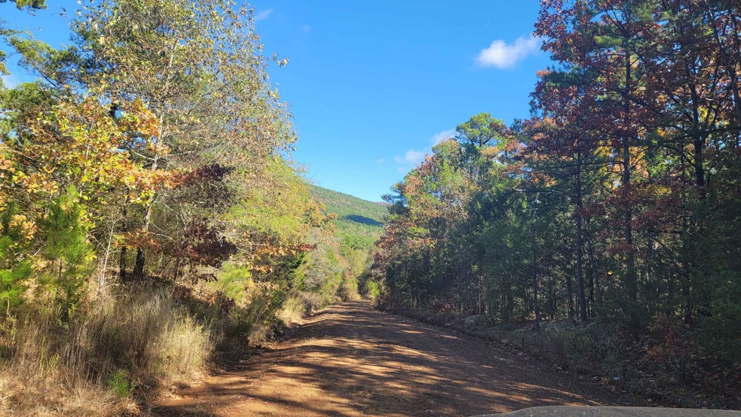
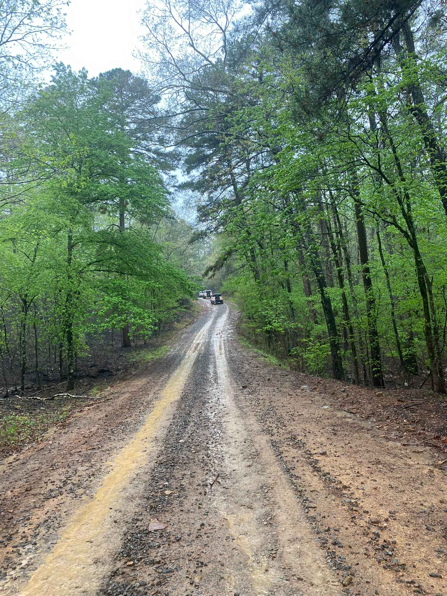
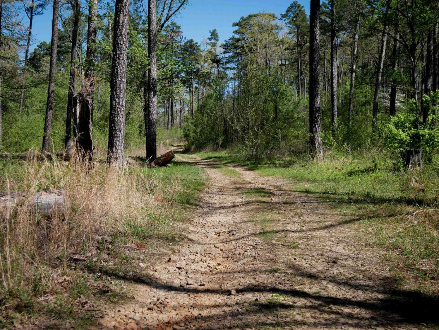
Trail Overview
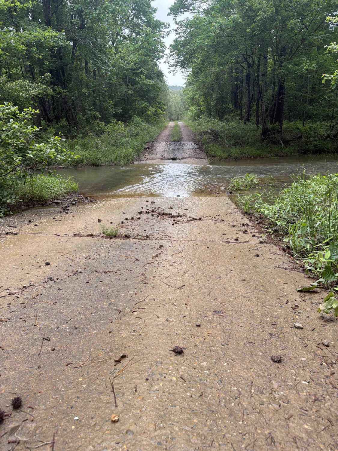
ATV trail follows the Lake Greeson shoreline offering panoramic views of the lake and Ouachita Mountain range. The 31 miles cross rocky outlays through mixed pine and oak forest. It begins at Daisy State Park and travels near Kirby Landing and Bear Creek Recreation Areas, ending on the west end of Rough Mountain. The trail is marked with yellow over blue.
Photos of Bear Creek Trail

Difficulty
Daisy State Park's portion of the trail is rated for expert riders only due to the steep inclines. The area between Kirby Landing and Bear Creek is rated easy-moderate.
Status Reports
Bear Creek Trail can be accessed by the following ride types:
- SxS (60")
- ATV (50")
- Dirt Bike
Bear Creek Trail Map
Popular Trails
Poteau Mountain And Rail Tracks
Little Bigger Road
The onX Offroad Difference
onX Offroad combines trail photos, descriptions, difficulty ratings, width restrictions, seasonality, and more in a user-friendly interface. Available on all devices, with offline access and full compatibility with CarPlay and Android Auto. Discover what you’re missing today!