Poteau Mountain And Rail Tracks
Total Miles
7.1
Technical Rating
Best Time
Spring, Summer, Fall, Winter
Trail Type
Full-Width Road
Accessible By
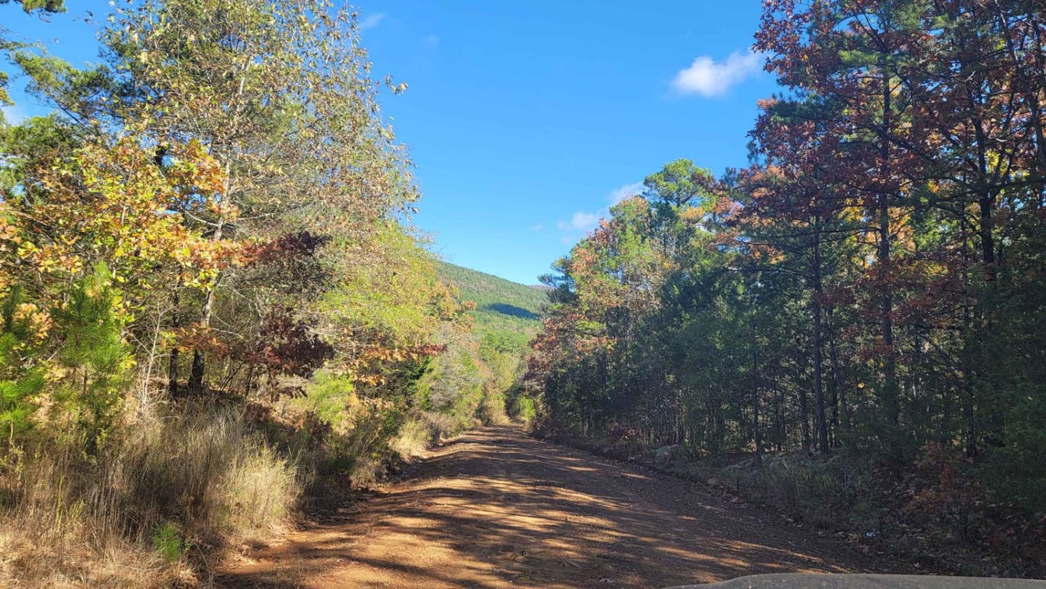
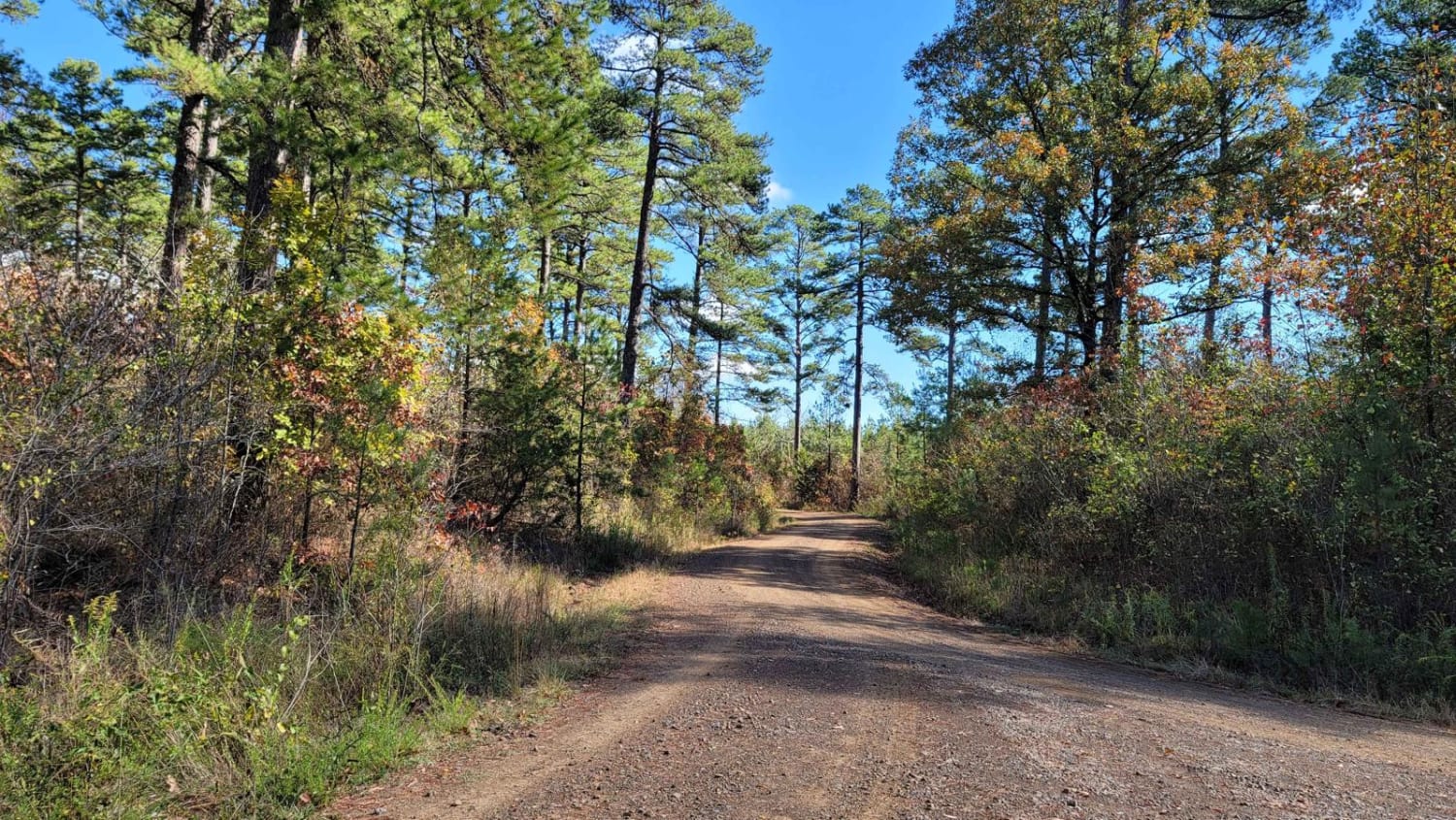
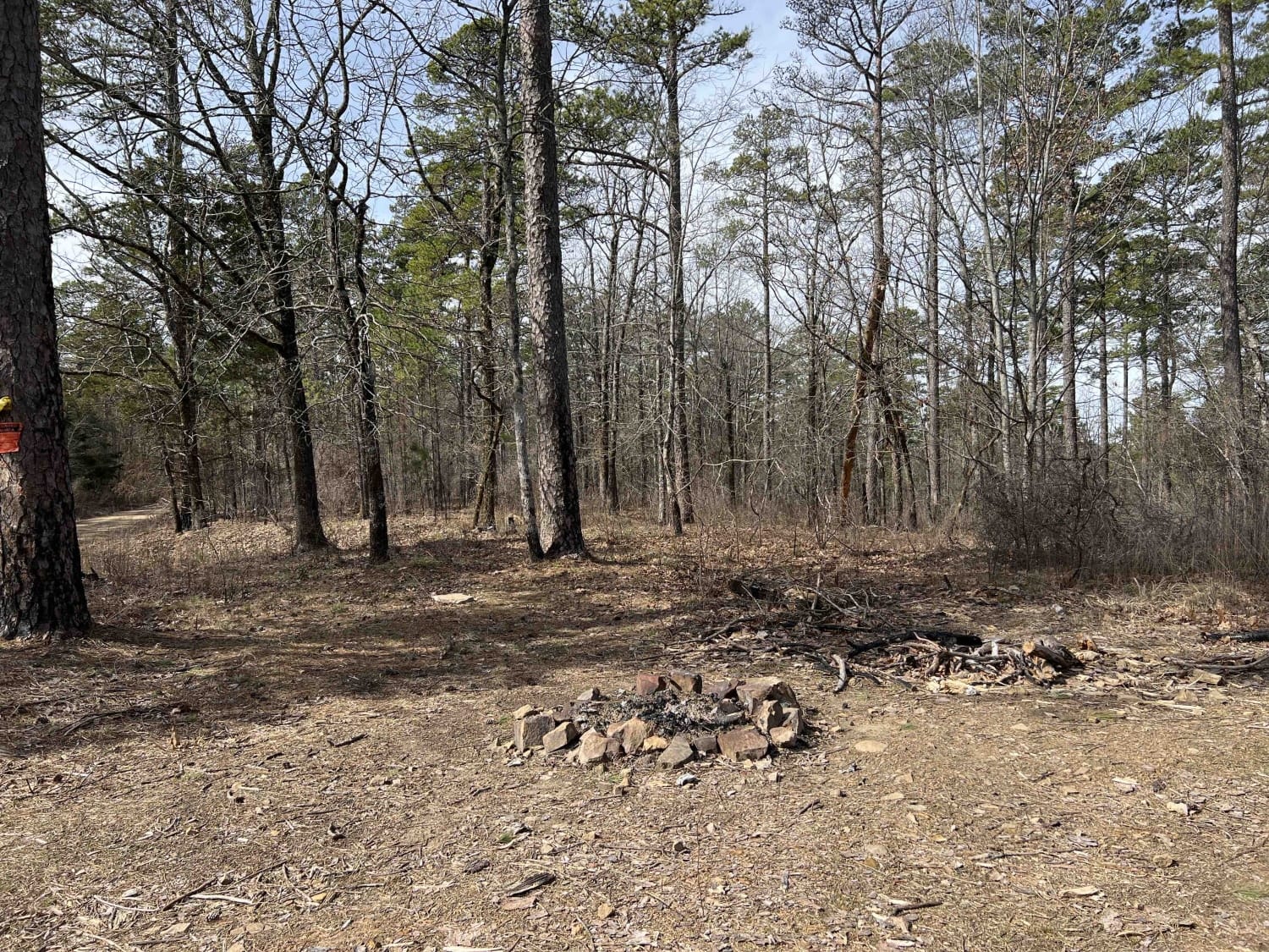
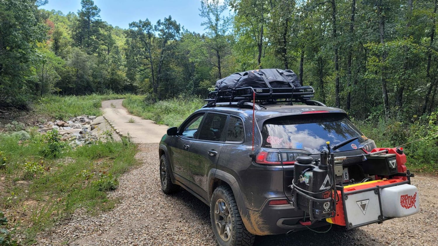
Trail Overview
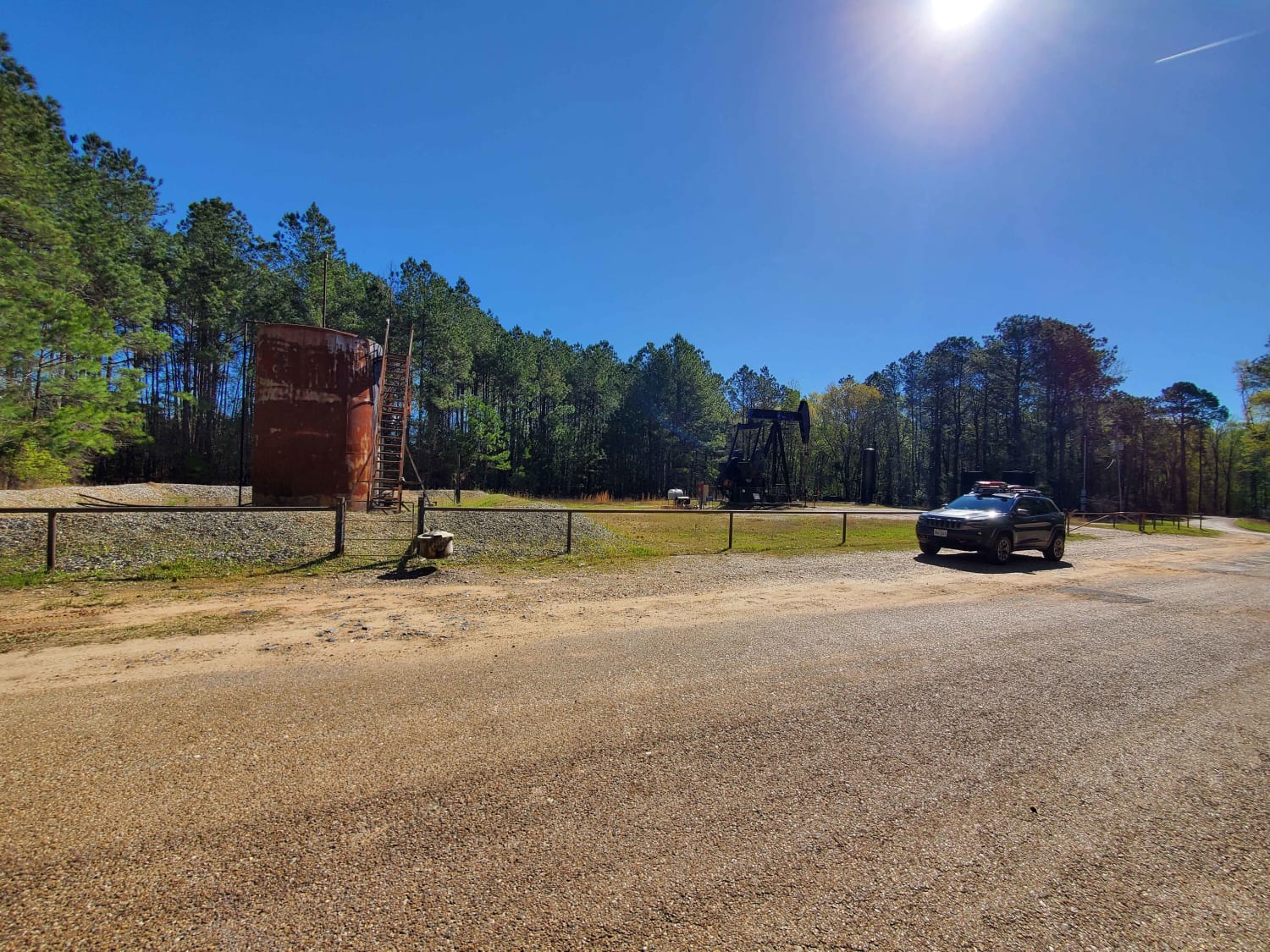
This gravel road travels the south side of Poteau Mountain. It begins at a fork in the road if going east and ends at a railroad track. Highway 28 is just past the tracks. The gravel road has shallow water crossings and beautiful views. This winding forest road is fun to drive as it takes you out of the Ouachita National Forest and to asphalt.
Photos of Poteau Mountain And Rail Tracks
Difficulty
Shallow water crossings and loose gravel make up this forest road. Can have mud sections if wet.
Status Reports
Poteau Mountain And Rail Tracks can be accessed by the following ride types:
- High-Clearance 4x4
- SUV
Poteau Mountain And Rail Tracks Map
Popular Trails
Long Mountain 76
The Arkansas Overland Route - Section 1 - Falcon Bottoms Back Roads

The onX Offroad Difference
onX Offroad combines trail photos, descriptions, difficulty ratings, width restrictions, seasonality, and more in a user-friendly interface. Available on all devices, with offline access and full compatibility with CarPlay and Android Auto. Discover what you’re missing today!