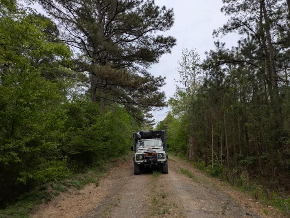
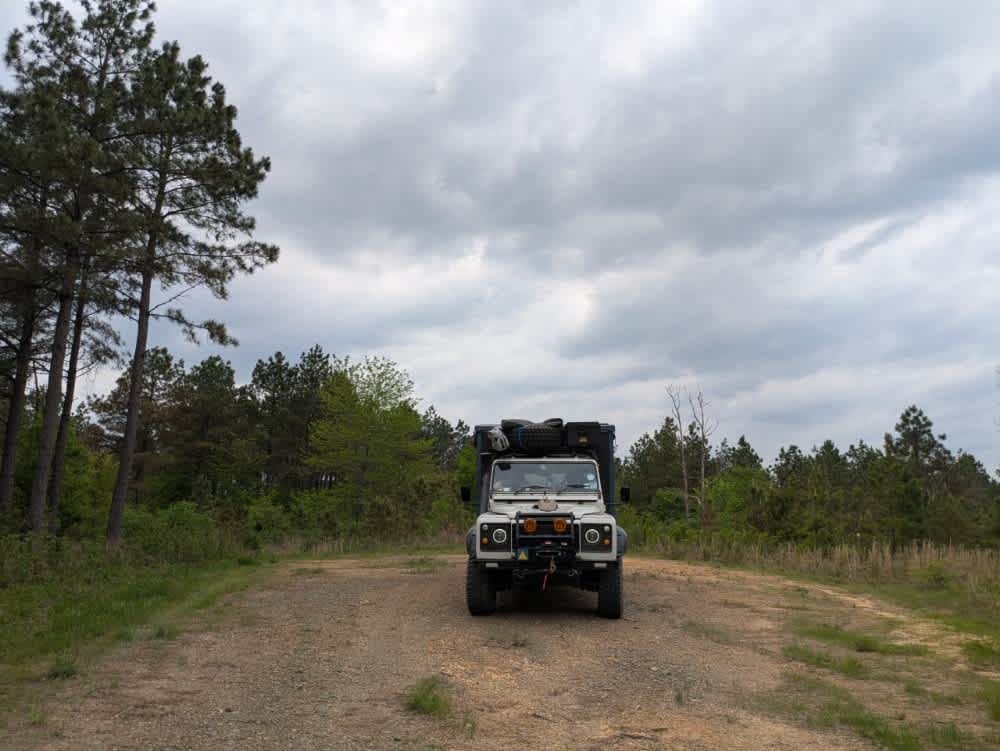
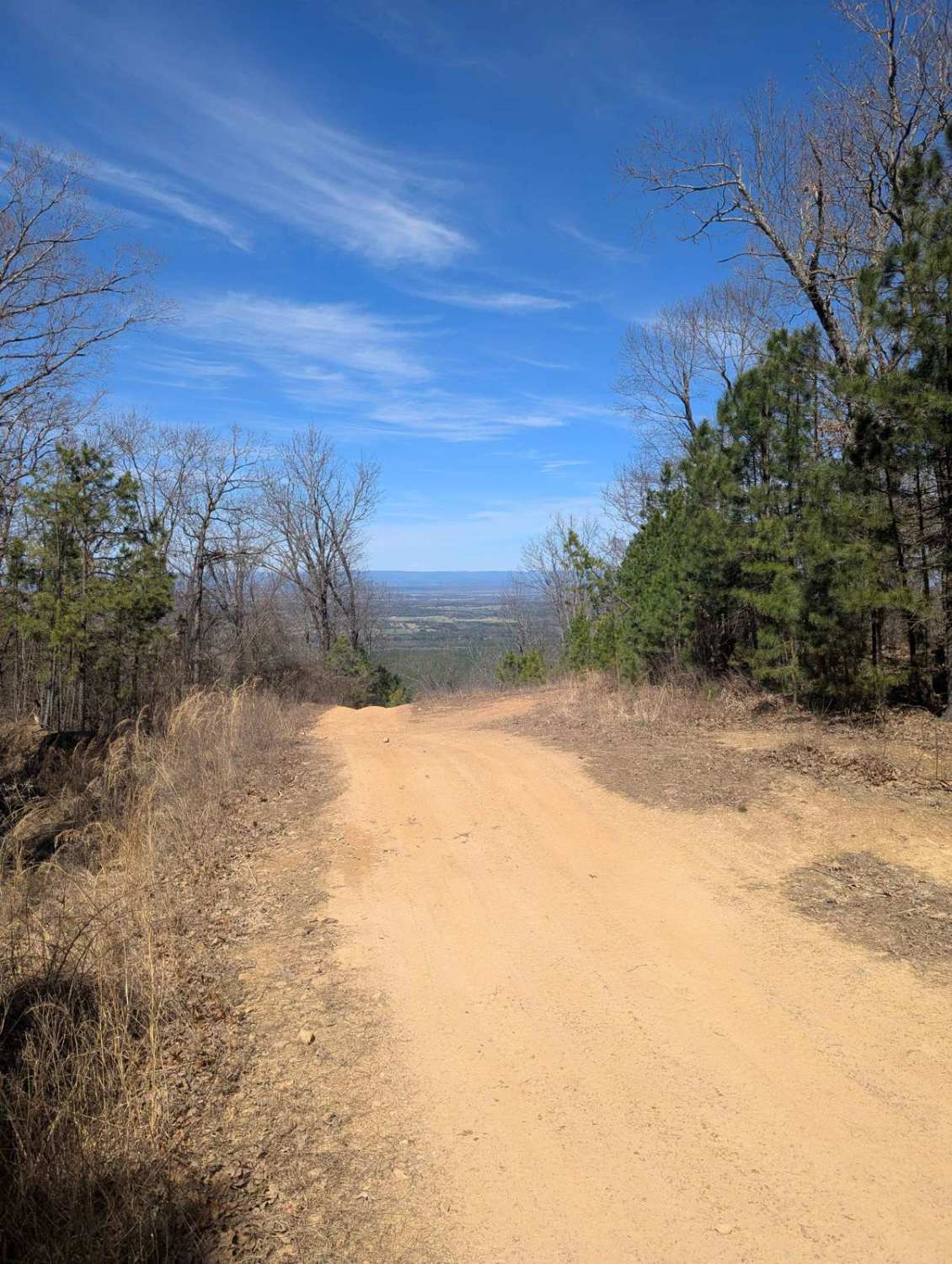
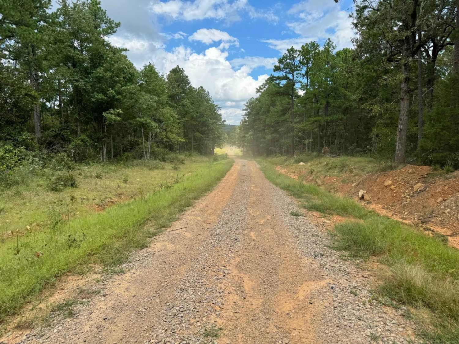
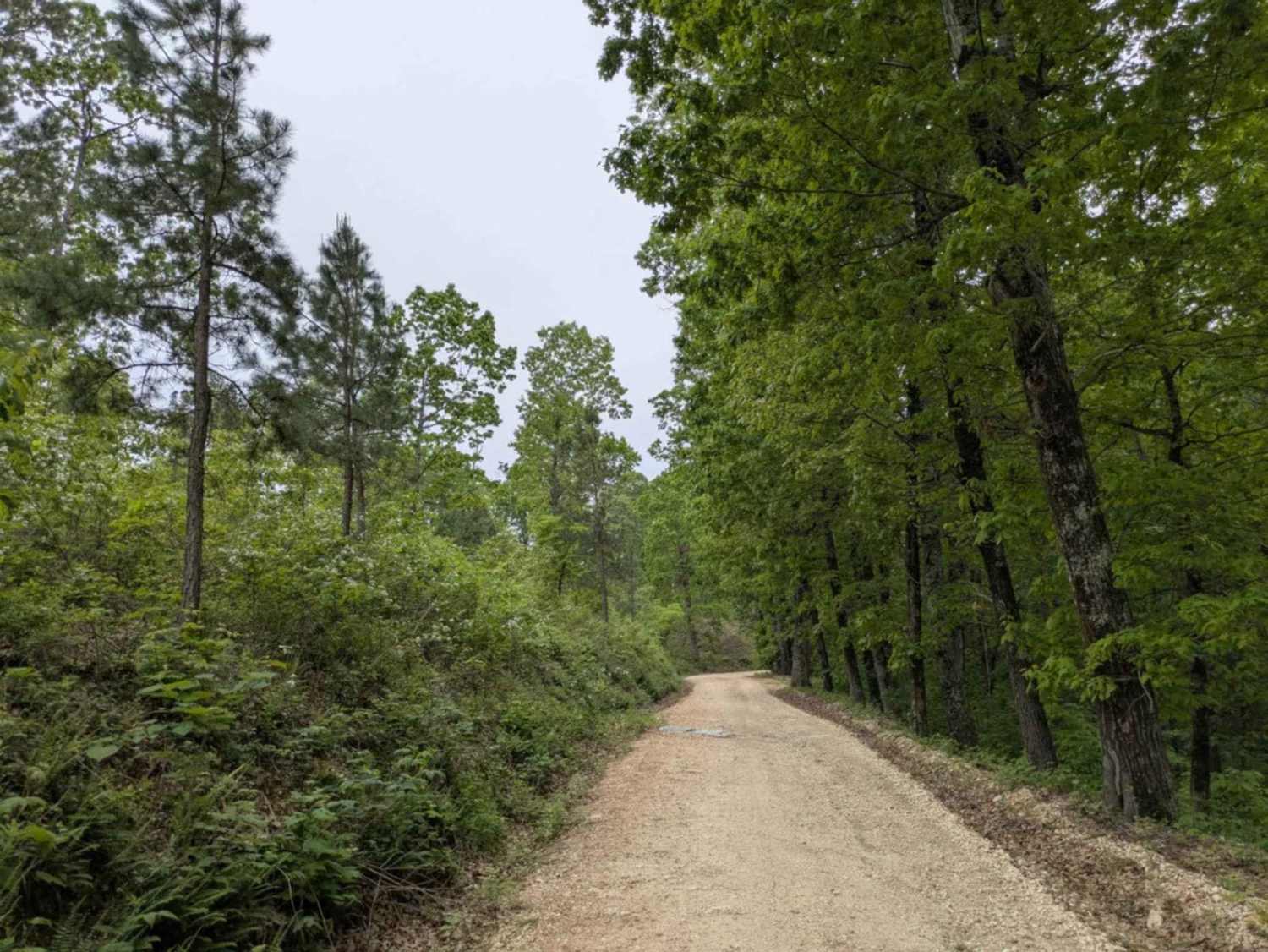
Off-Road Trails in Arkansas
Discover off-road trails in Arkansas

Learn more about 5 Main Park Road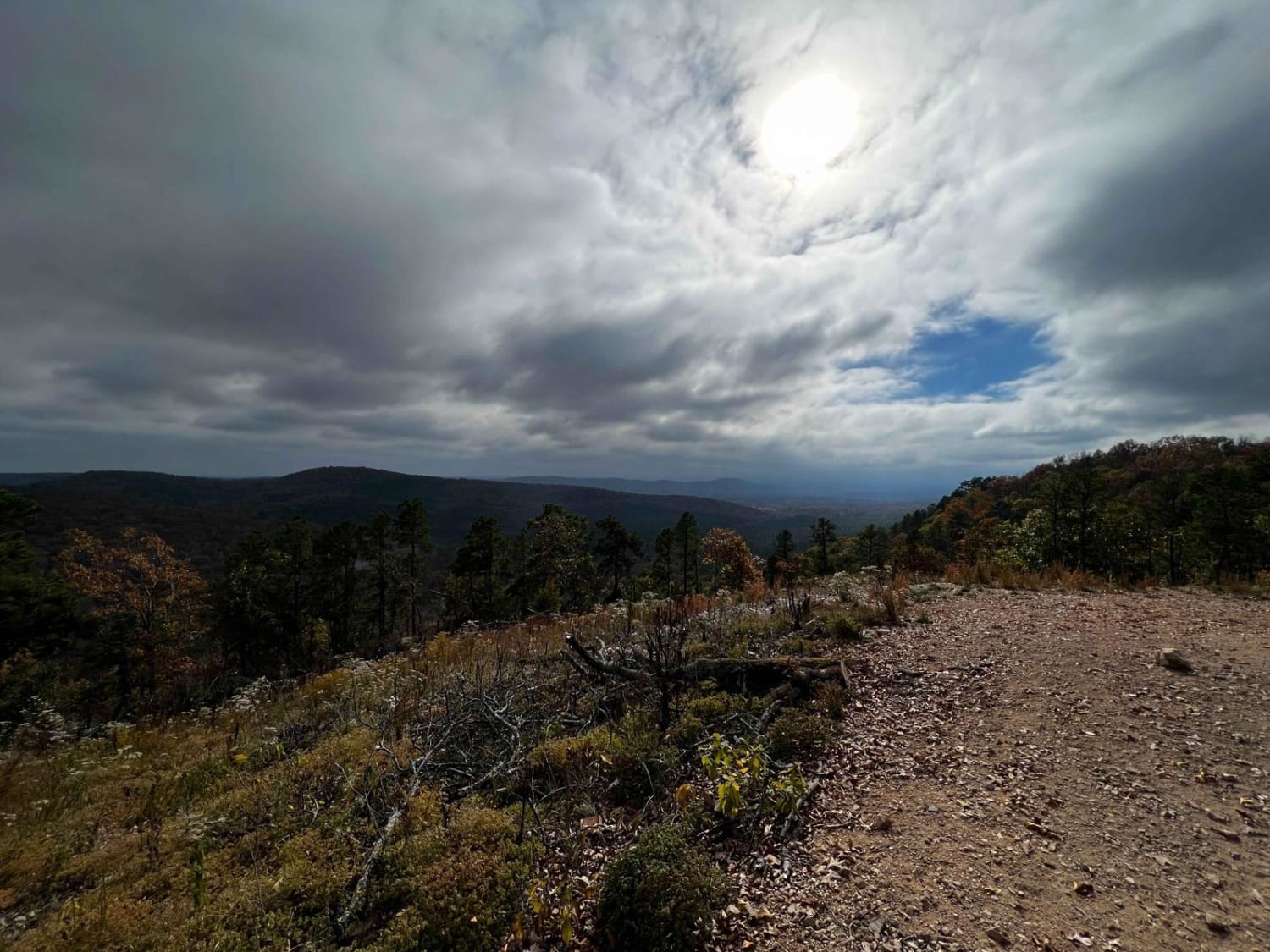
5 Main Park Road
Total Miles
1.5
Tech Rating
Easy
Best Time
Spring, Summer, Fall, Winter


Learn more about 5ST Motorcycle Only
5ST Motorcycle Only
Total Miles
1.8
Tech Rating
Moderate
Best Time
Fall
Learn more about 96076D & 96021D
96076D & 96021D
Total Miles
2.2
Tech Rating
Moderate
Best Time
Spring, Summer, Fall, Winter

Learn more about A-B Connector
A-B Connector
Total Miles
0.4
Tech Rating
Easy
Best Time
Spring, Summer, Fall, Winter

Learn more about A15 Twin Hills East (Bottom)
A15 Twin Hills East (Bottom)
Total Miles
0.1
Tech Rating
Moderate
Best Time
Spring, Summer, Fall, Winter
Learn more about A2 Free Fall
A2 Free Fall
Total Miles
0.2
Tech Rating
Difficult
Best Time
Spring, Summer, Fall, Winter
ATV trails in Arkansas
Learn more about 1101 Road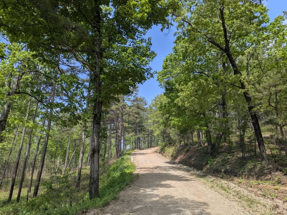
1101 Road
Total Miles
8.7
Tech Rating
Easy
Best Time
Summer, Winter, Fall, Spring
UTV/side-by-side trails in Arkansas
Learn more about 1101 Road
1101 Road
Total Miles
8.7
Tech Rating
Easy
Best Time
Summer, Winter, Fall, Spring
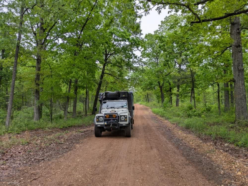
The onX Offroad Difference
onX Offroad combines trail photos, descriptions, difficulty ratings, width restrictions, seasonality, and more in a user-friendly interface. Available on all devices, with offline access and full compatibility with CarPlay and Android Auto. Discover what you’re missing today!