52 Humps
Total Miles
0.8
Technical Rating
Best Time
Spring, Summer, Fall, Winter
Trail Type
Full-Width Road
Accessible By
Trail Overview
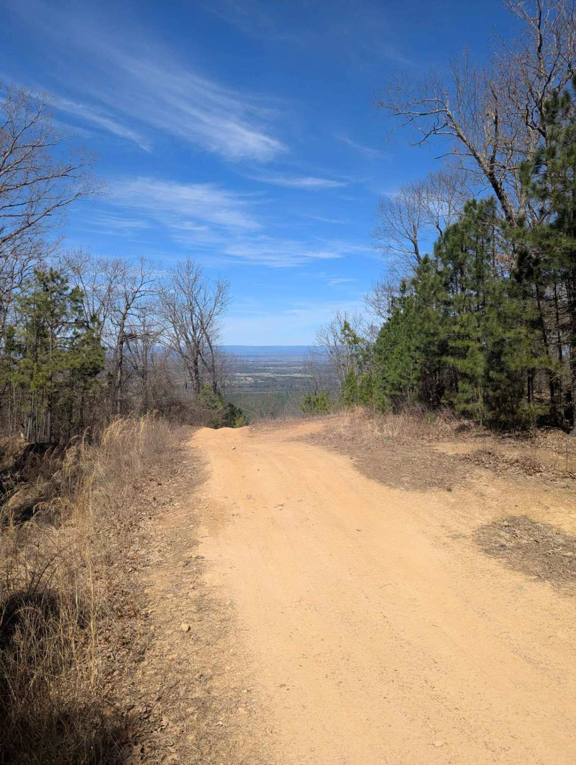
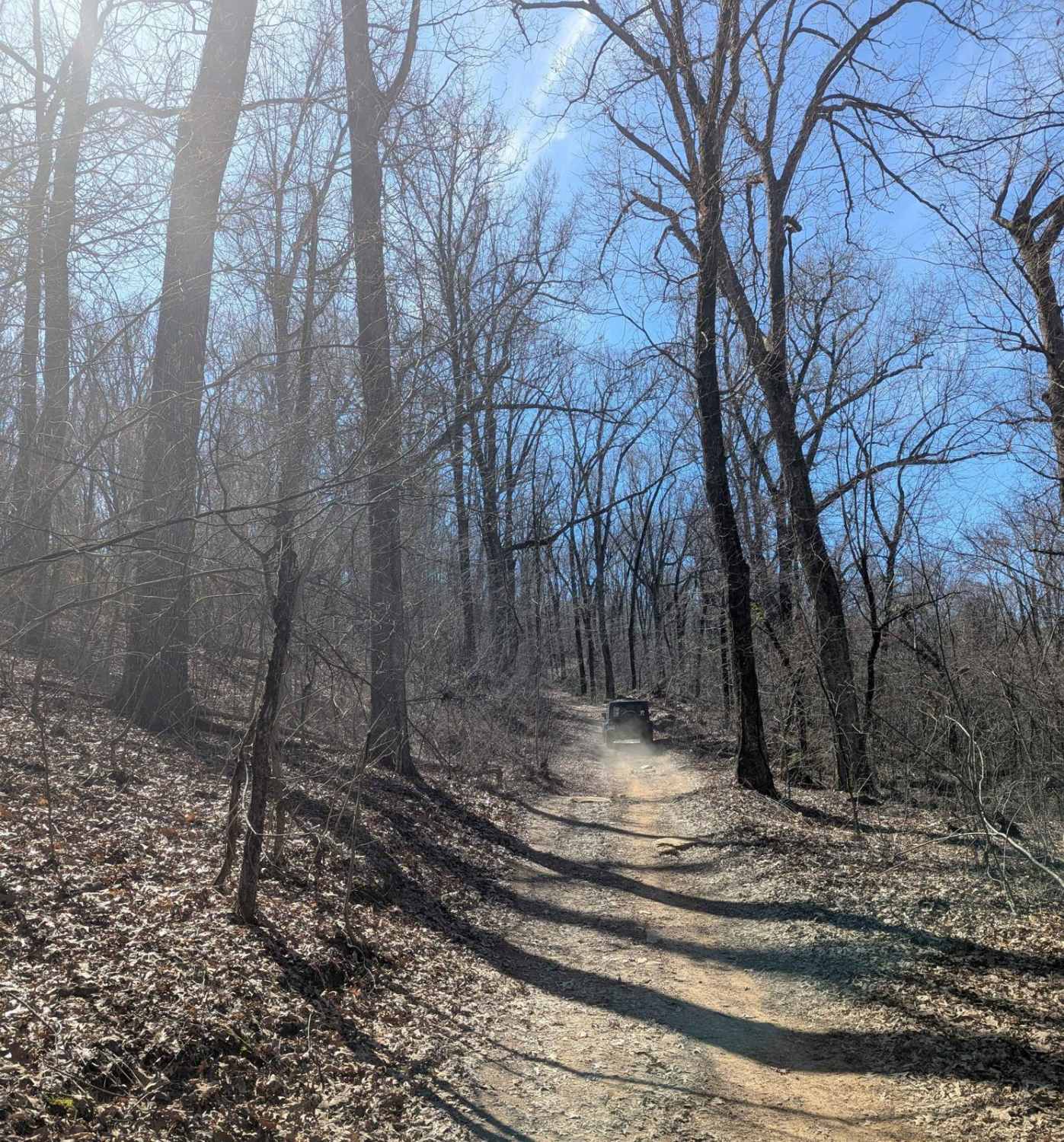
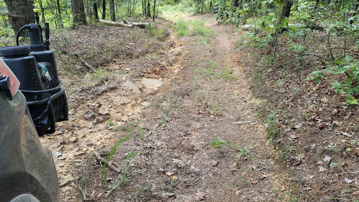
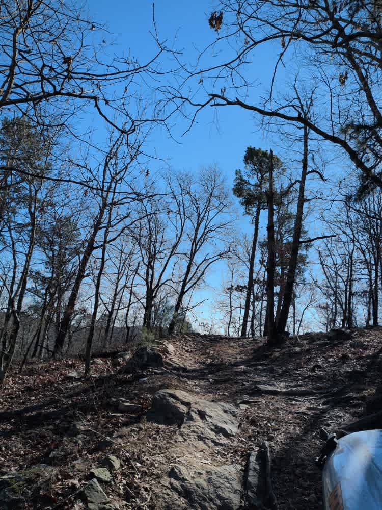
At only 1 miles long, the trail offers scenic views at the top, small rocky ledges, small ruts, and (its namesake) 52 rain humps put in to control erosion. Whether ran top to bottom or the other way, the trail is a fun one. When wet, the trail can be very tricky. There is a spot of two of clay that it very slippery when wet. No major obstacles on this trail. 4-Low is not required but it recommended for some areas for better control.
Photos of 52 Humps
Difficulty
This trail has some rocky climbs, no ledges, minor water crossings, small mud holes, rutted trails, some gravel roads.
Status Reports
52 Humps can be accessed by the following ride types:
- High-Clearance 4x4
- SUV
- SxS (60")
- ATV (50")
- Dirt Bike
52 Humps Map
Popular Trails

C18 Tanner's Hatchet

G15 Road to Adventure
Wash Out Hill
E20 Road to Prothane
The onX Offroad Difference
onX Offroad combines trail photos, descriptions, difficulty ratings, width restrictions, seasonality, and more in a user-friendly interface. Available on all devices, with offline access and full compatibility with CarPlay and Android Auto. Discover what you’re missing today!