96027A
Total Miles
3.6
Technical Rating
Best Time
Spring, Summer, Fall
Trail Type
60" Trail
Accessible By
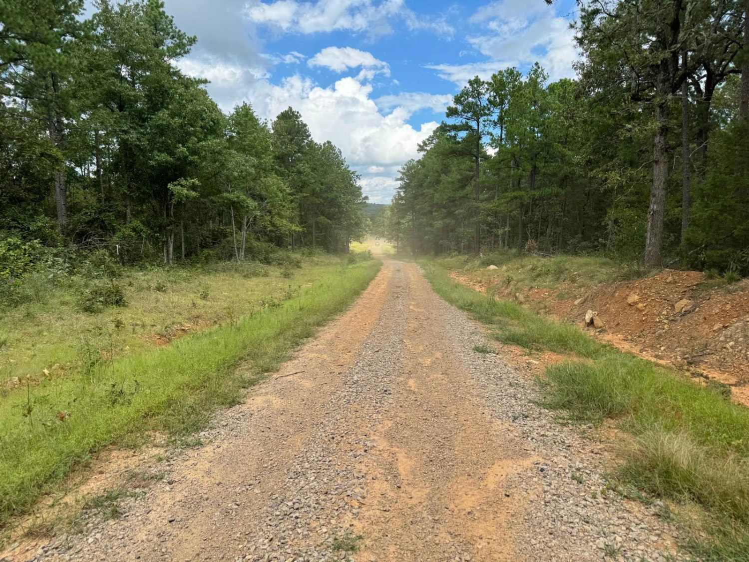
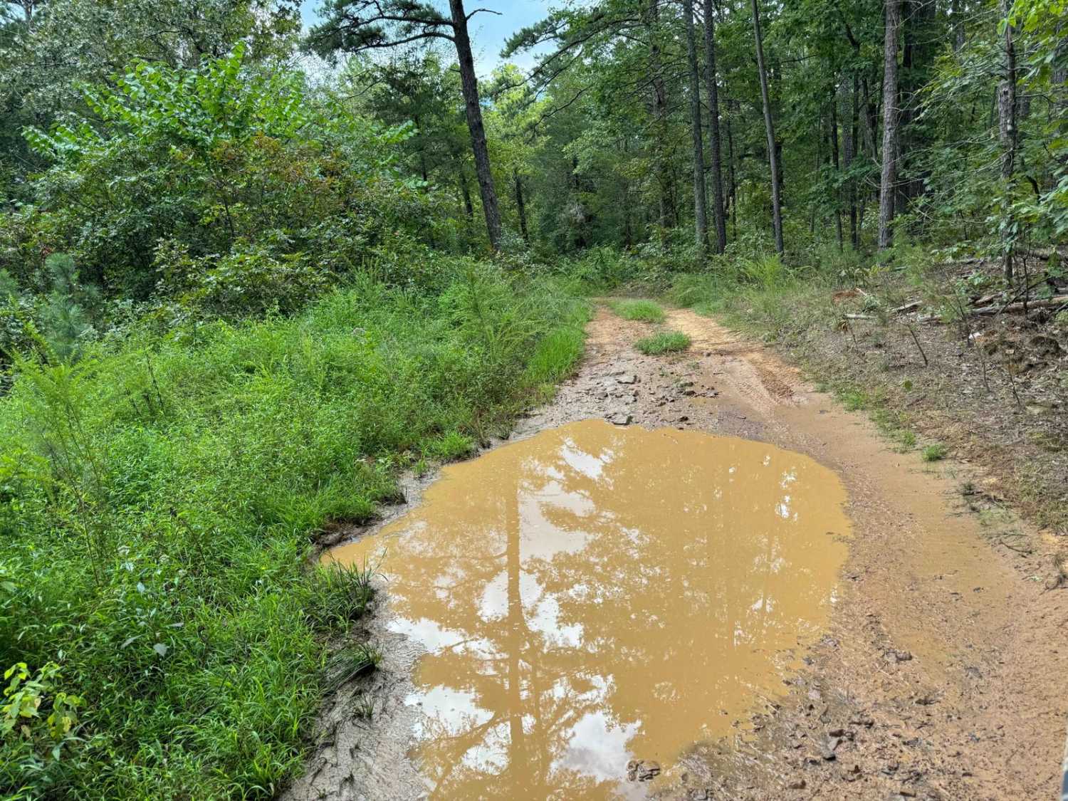
Trail Overview
This is a north/south trail accessible by OHVs (ATV, UTV, MX) and horseback ONLY. There are width restriction gates on both ends, limiting vehicles to approximately 72" max width. The trail has several shallow mud holes with firm bottoms. There is a 370-foot elevation difference between the ends of the trail. There are several small streams to cross during wetter times, but they will be dry without recent rainfall.
Photos of 96027A
Difficulty
The trail is not difficult for any OHV vehicle (ATV, UTV, MX). The trail has several firm bottom mud holes that are 6" depth or less. There are no ledges or trail obstacles of note.
Status Reports
96027A can be accessed by the following ride types:
- SxS (60")
- ATV (50")
- Dirt Bike
96027A Map
Popular Trails

E1 Too Easy

Slo Fork Road
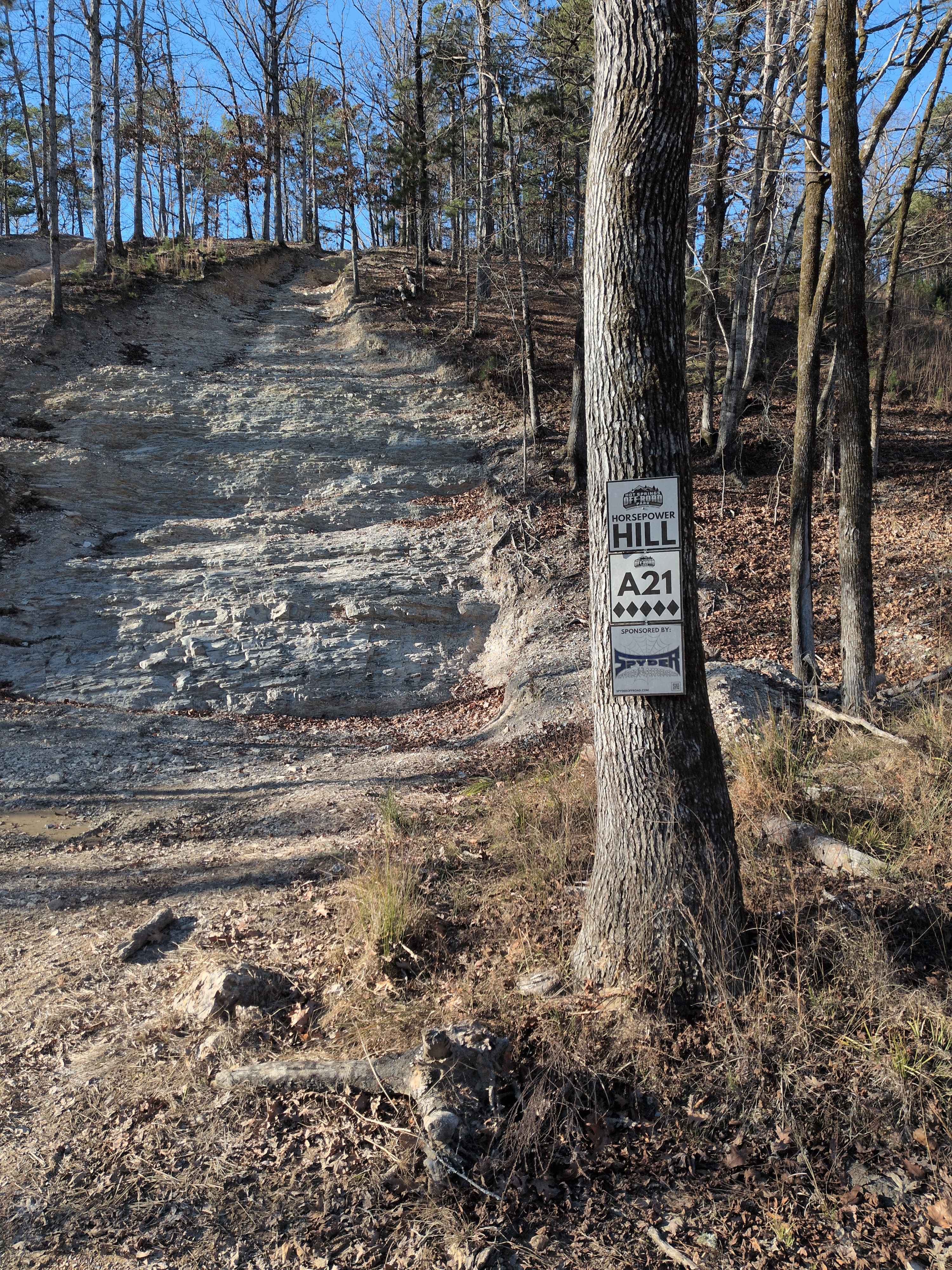
A21 Horsepower Hill

Valentine Ridge
The onX Offroad Difference
onX Offroad combines trail photos, descriptions, difficulty ratings, width restrictions, seasonality, and more in a user-friendly interface. Available on all devices, with offline access and full compatibility with CarPlay and Android Auto. Discover what you’re missing today!