A2 Free Fall
Total Miles
0.2
Technical Rating
Best Time
Spring, Summer, Fall, Winter
Trail Type
Full-Width Road
Accessible By
Trail Overview
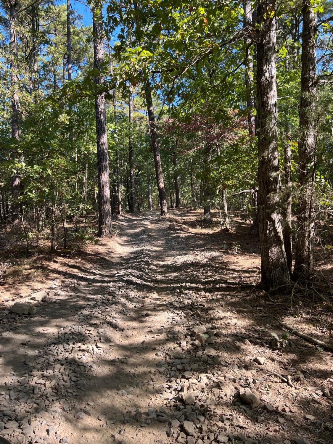
A2 Free Fall is an extremely steep climb or descent, depending on which way you are going. It provides the most direct route from the campground up to the ridge that contains other trails such as A4, A13, A26 Sardine Ravine, and A26 Buckhorn North. It is rated 5 diamonds on the park scale due to the steep grade and loose rock. Even if dry, this is an extreme climb that will require a lot of momentum to conquer. The park rating for this trail is 5 diamonds. A Park Day-Use Trail Pass is required to access this system of trails. Cell service is spotty in places, and trail conditions can change quickly, especially during rainy or winter seasons.
Photos of A2 Free Fall


Difficulty
Extremely steep grade with loose rock and dirt.
Status Reports
A2 Free Fall can be accessed by the following ride types:
- High-Clearance 4x4
- SUV
- SxS (60")
- ATV (50")
- Dirt Bike
A2 Free Fall Map
Popular Trails

F10 Rock Fink Ravine Part Deux

D6 Quicksand
Wolf Pen Gap 3 East

Copper Spring
The onX Offroad Difference
onX Offroad combines trail photos, descriptions, difficulty ratings, width restrictions, seasonality, and more in a user-friendly interface. Available on all devices, with offline access and full compatibility with CarPlay and Android Auto. Discover what you’re missing today!