96076D & 96021D
Total Miles
2.2
Technical Rating
Best Time
Spring, Summer, Fall, Winter
Trail Type
Full-Width Road
Accessible By
Trail Overview
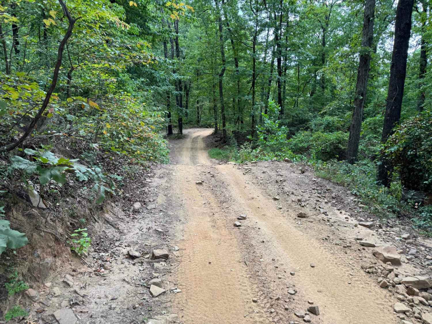
These two trails combine to make essentially one direct shot up to (or down from) Huckleberry Mountain. Starting from Huckleberry Mountain going north, the trail starts with a steep descent along a narrow trail with many water break humps as you travel downhill. Please take caution going either direction as there are limited passing opportunities for oncoming traffic.
Photos of 96076D & 96021D

Difficulty
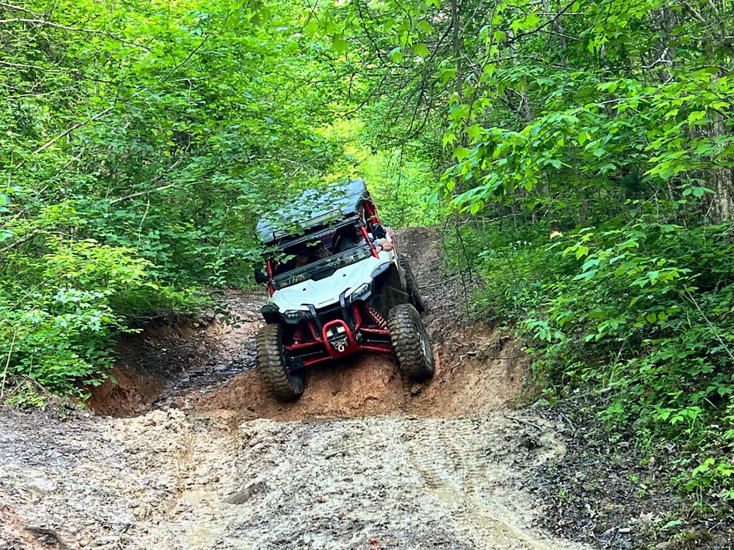
The difficulty comes from the 800ft of elevation change, narrow trail, loose gravel, and multiple large humps. The trail goes from relatively mild to very challenging during wet weather as the hardpack dirt will turn into very slimy mud. The trail is also very narrow, so any oncoming traffic becomes a concern.
96076D & 96021D can be accessed by the following ride types:
- High-Clearance 4x4
- SUV
- SxS (60")
- ATV (50")
- Dirt Bike
96076D & 96021D Map
Popular Trails

Can Opener
Delaney Creek Trail FS1517
Old River Road
The onX Offroad Difference
onX Offroad combines trail photos, descriptions, difficulty ratings, width restrictions, seasonality, and more in a user-friendly interface. Available on all devices, with offline access and full compatibility with CarPlay and Android Auto. Discover what you’re missing today!