Delaney Creek Trail FS1517
Total Miles
4.3
Technical Rating
Best Time
Spring, Fall, Winter, Summer
Trail Type
Full-Width Road
Accessible By
Trail Overview
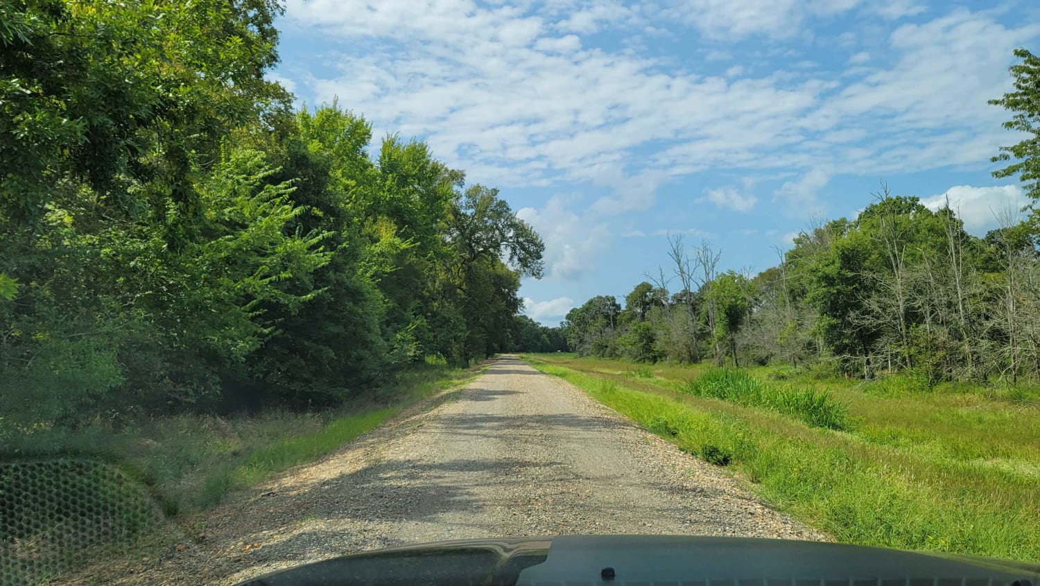
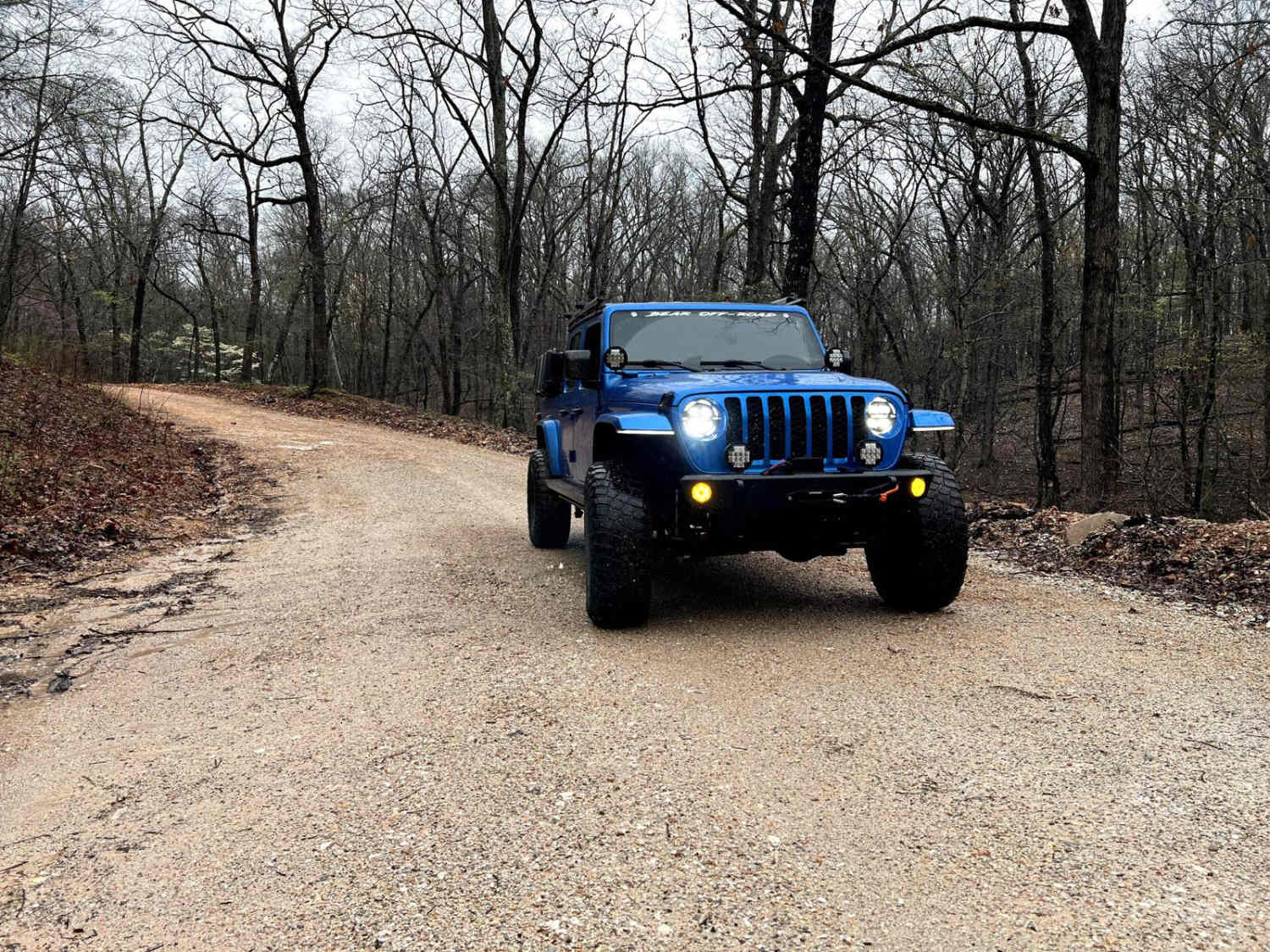
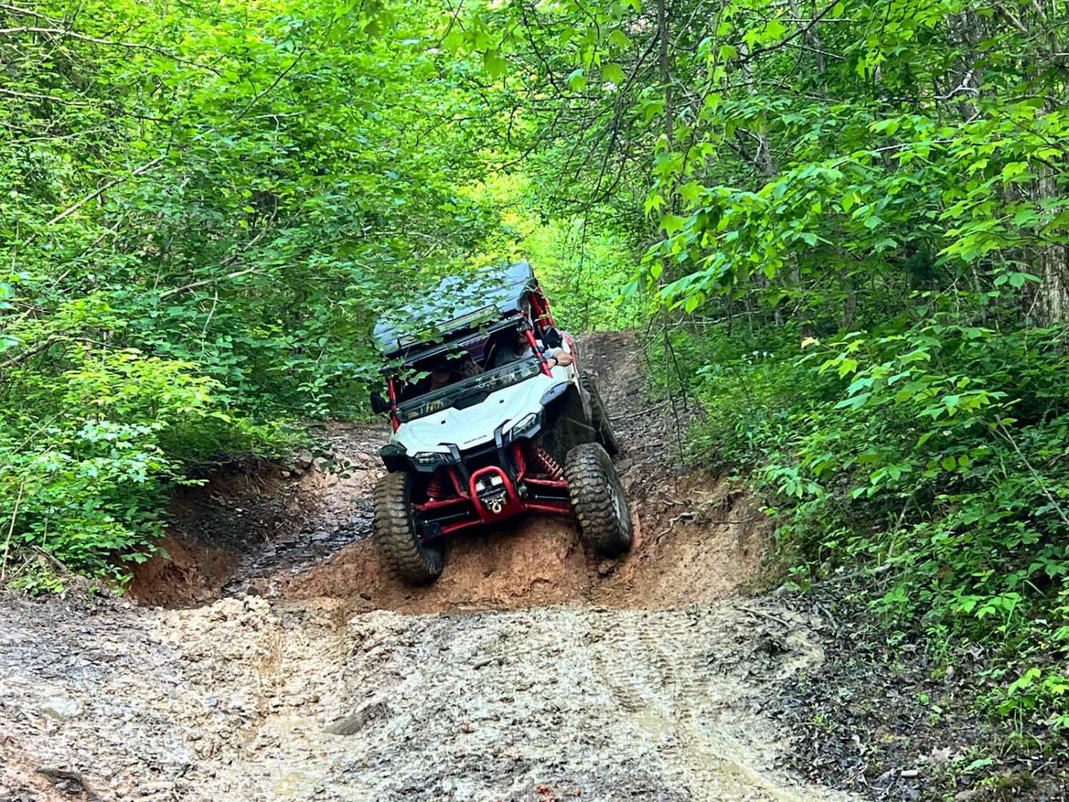
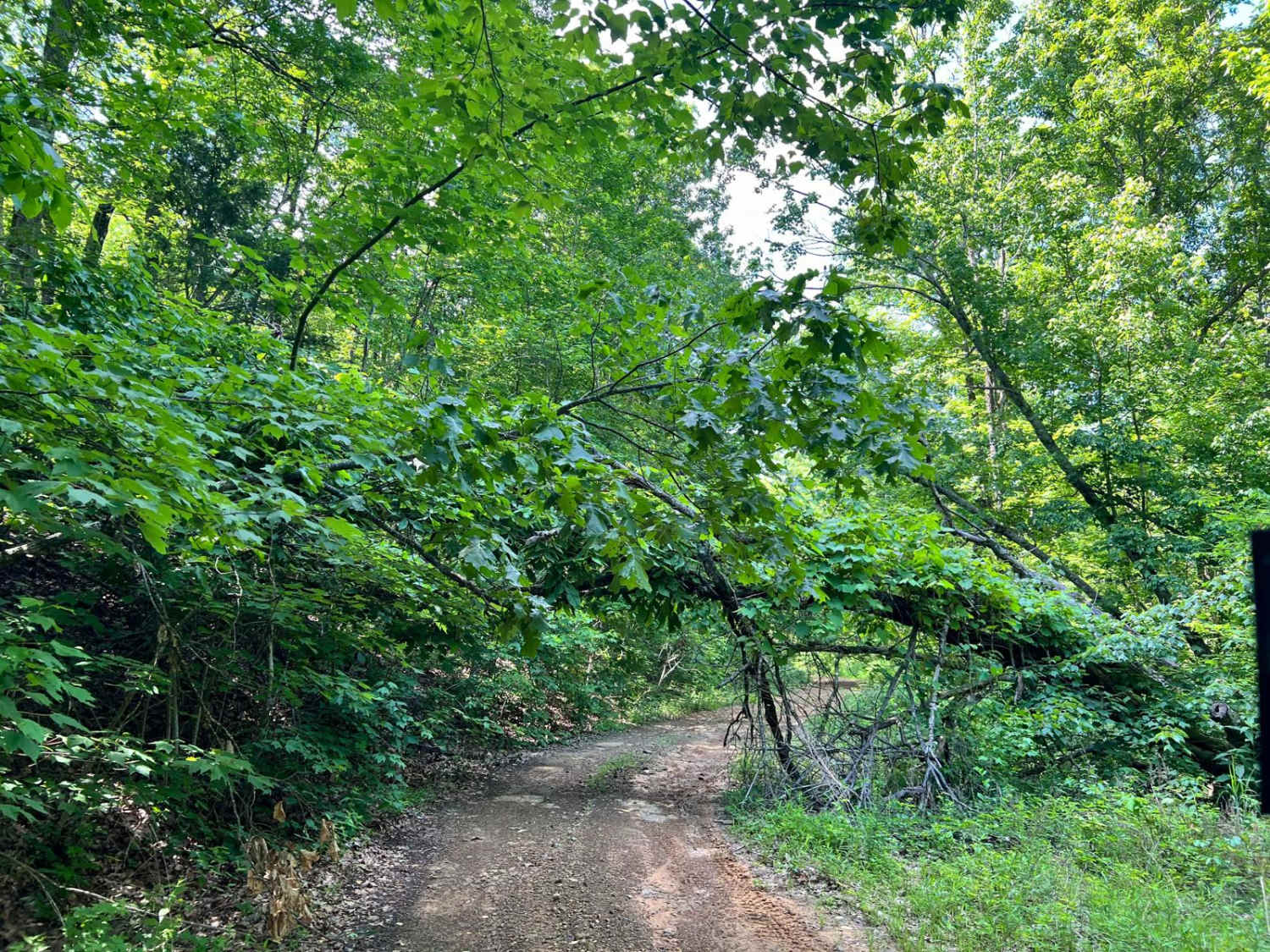
Delaney Creek trail FS1517 is located in the Boston Mountains. The trail is filled with a few off-camber spots with mud and creek crossings. It also has a couple of narrow spots with low-hanging trees that you should be able to get under with ATVs, SxSs, and vehicles that are not lifted too high. The trail weaves its way through the woods from Mountain Crest Road to Delaney Creek Road and onto Highway 16.
Photos of Delaney Creek Trail FS1517
Difficulty
Expect muddy patches, especially after rain. Be prepared for some off-camber sections where your vehicle's stability could be tested. Expect narrow spots along the trail.
Status Reports
Delaney Creek Trail FS1517 can be accessed by the following ride types:
- High-Clearance 4x4
- SUV
- SxS (60")
- ATV (50")
- Dirt Bike
Delaney Creek Trail FS1517 Map
Popular Trails

Bill's Branch Road

Tower Ends at Private Fishing Club

North Old Wire Road
The onX Offroad Difference
onX Offroad combines trail photos, descriptions, difficulty ratings, width restrictions, seasonality, and more in a user-friendly interface. Available on all devices, with offline access and full compatibility with CarPlay and Android Auto. Discover what you’re missing today!


