B28
Total Miles
0.3
Technical Rating
Best Time
Spring, Summer, Fall, Winter
Trail Type
Full-Width Road
Accessible By
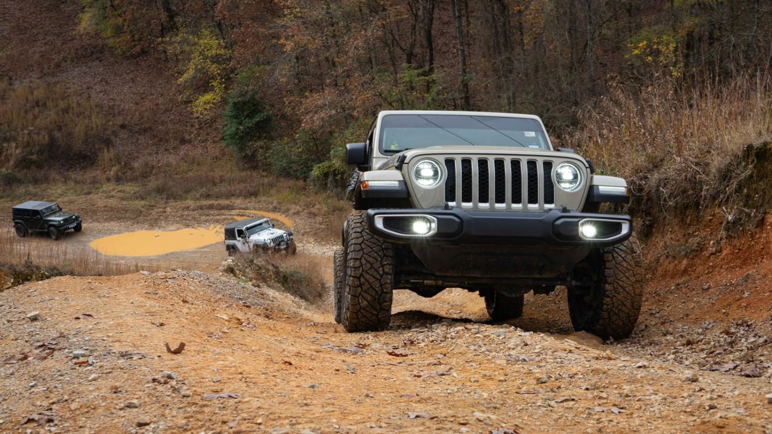
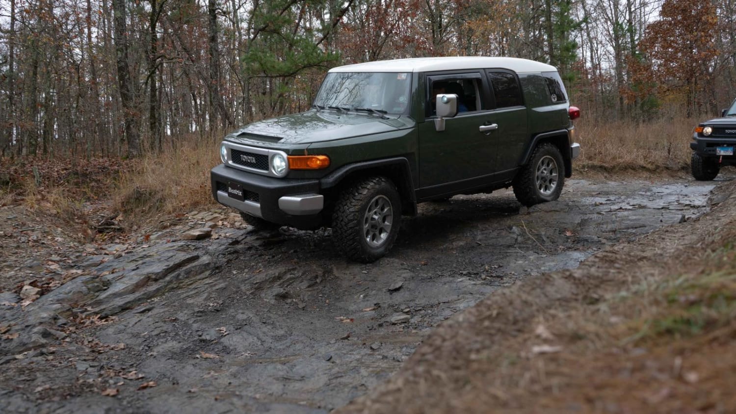
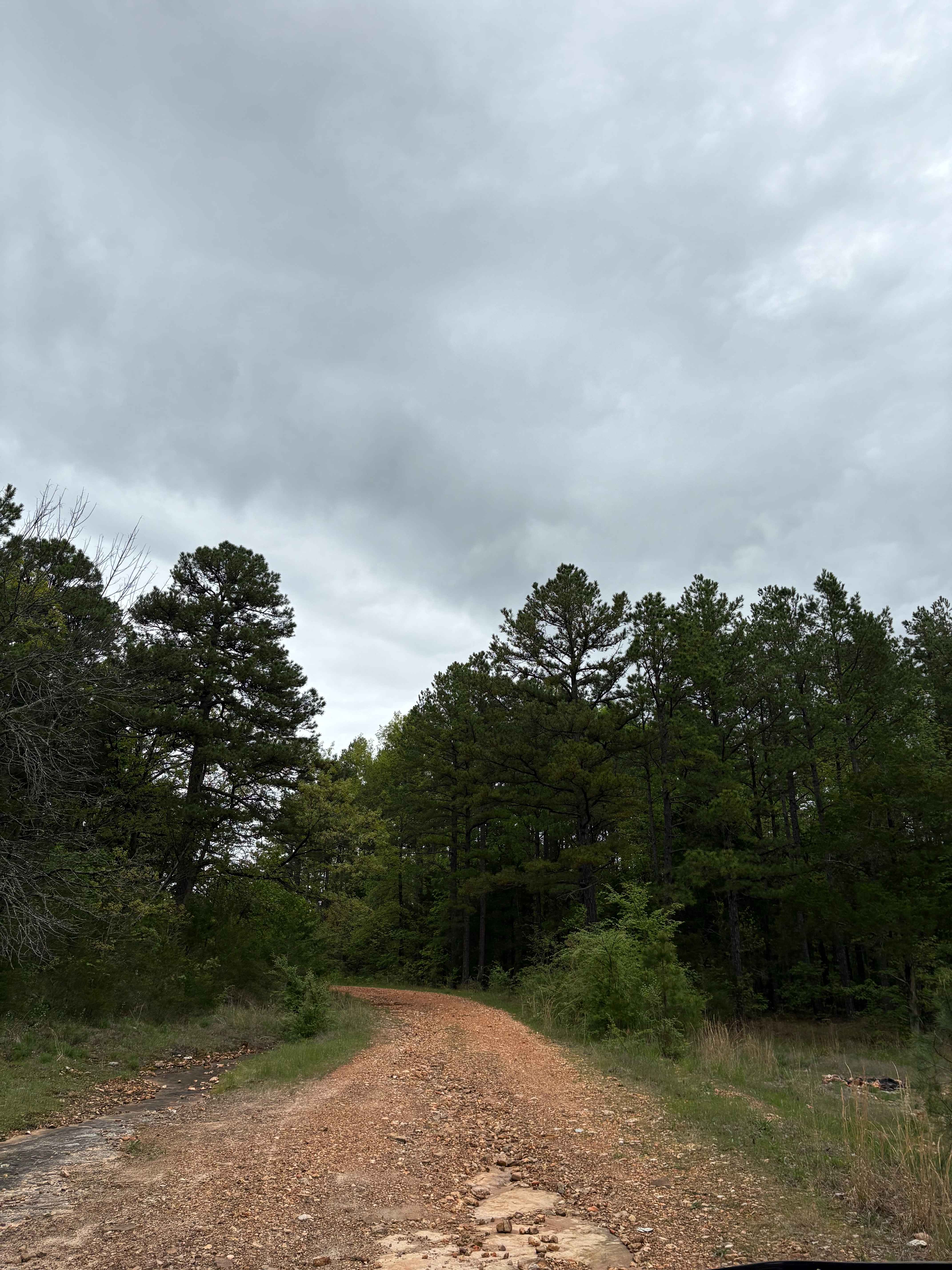
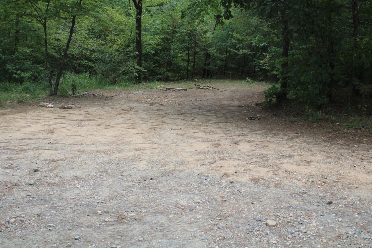
Trail Overview
B28 is a dirt trail that runs along the powerlines at the back of the park. There are a couple of hill climbs, one with a small rock ledge, but any vehicle should be able to navigate that very easily. Take Road 2 to Road 3, and B28 will be at the very end on the right. The trail will take you back to either B13/B4 or B14/B19. Both are moderate trails and will take you back to Road 2.
Photos of B28
Difficulty
This is a dirt trail that runs along powerlines. It does have a couple of hill climbs that could be intimidating for a new driver. But any vehicle should be able to climb the hills with little momentum.
Status Reports
B28 can be accessed by the following ride types:
- High-Clearance 4x4
- SUV
- SxS (60")
- ATV (50")
- Dirt Bike
B28 Map
Popular Trails
OHT Twin Creek
B7 Beginner's Chance
Polk 410 Stream & Camp

Bear Hollow - Trail 1627
The onX Offroad Difference
onX Offroad combines trail photos, descriptions, difficulty ratings, width restrictions, seasonality, and more in a user-friendly interface. Available on all devices, with offline access and full compatibility with CarPlay and Android Auto. Discover what you’re missing today!