The Arkansas Overland Route - TrailHawk Loop - Section 17
Total Miles
4.6
Technical Rating
Best Time
Spring, Summer, Fall, Winter
Trail Type
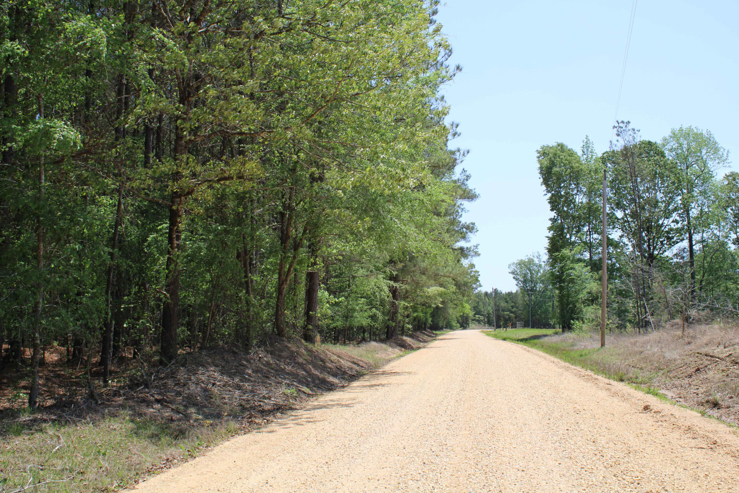
Full-Width Road
Accessible By
Trail Overview
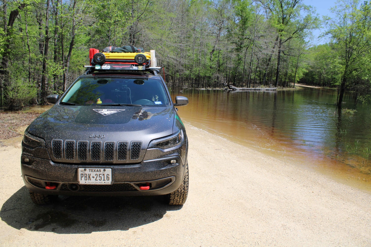
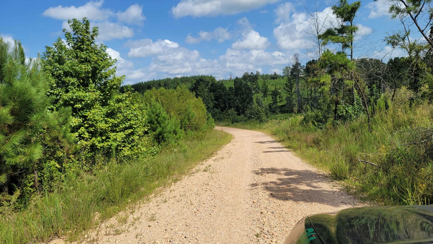
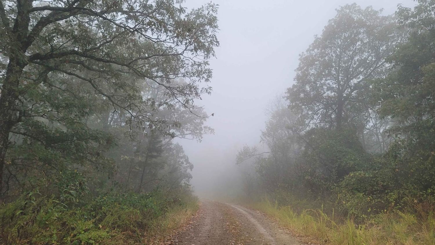
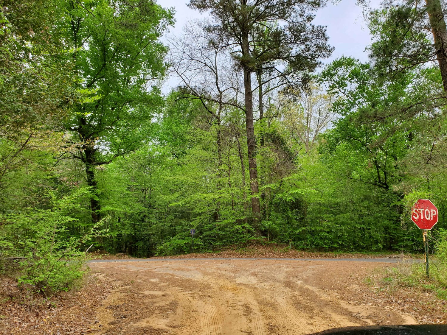
Gravel roads that can be muddy and slick when wet. Roads can become flooded and not passable during and after rains. This goes to a lake and camping area. There is a section known to hold water -depths can vary. Travel with caution in the flooded areas. Watch for wildlife as you travel the route.
Photos of The Arkansas Overland Route - TrailHawk Loop - Section 17
Difficulty
Dirt and gravel that can be nasty when wet. Some flooding of roads can be present
Status Reports
The Arkansas Overland Route - TrailHawk Loop - Section 17 can be accessed by the following ride types:
- High-Clearance 4x4
- SUV
The Arkansas Overland Route - TrailHawk Loop - Section 17 Map
Popular Trails
Road 263 to HWY342

Jakes Creek Road
The Arkansas Overland Route - Section 6 - Highway 278 to Highway 79
The onX Offroad Difference
onX Offroad combines trail photos, descriptions, difficulty ratings, width restrictions, seasonality, and more in a user-friendly interface. Available on all devices, with offline access and full compatibility with CarPlay and Android Auto. Discover what you’re missing today!